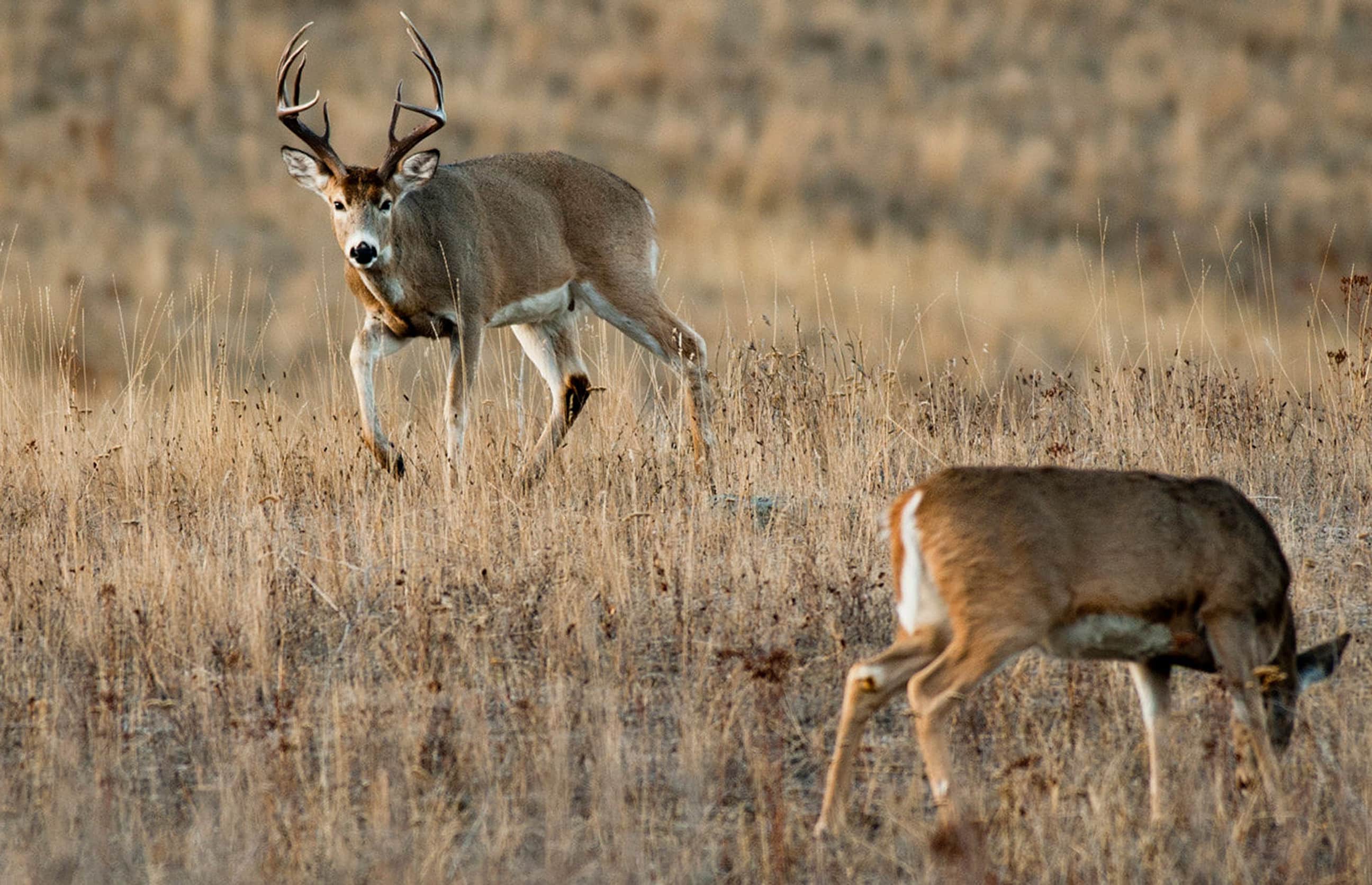

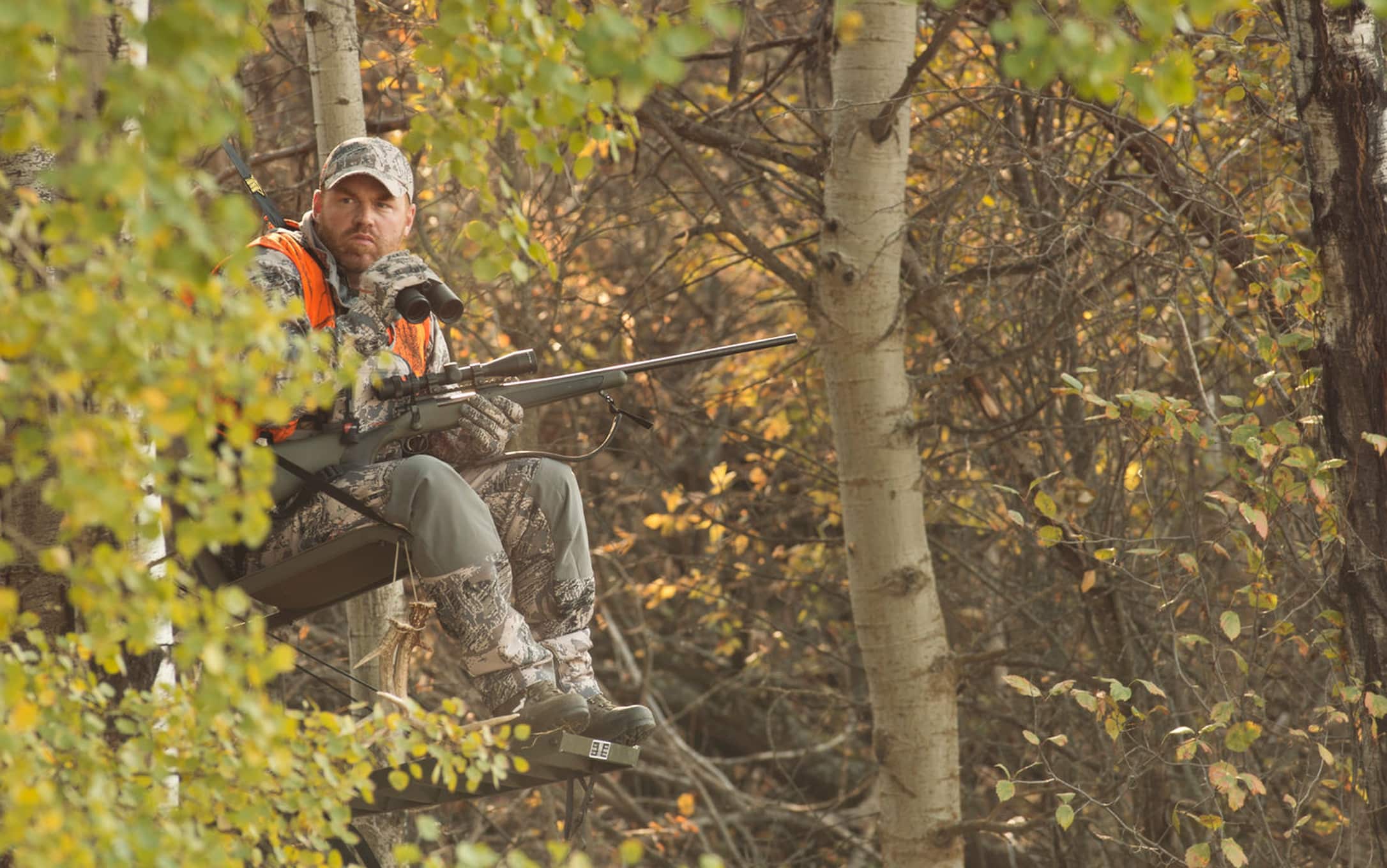
Deer hunters have never had more powerful tools at their disposal than they do today. Cellular trail cameras, advanced rangefinders, intuitive scopes, and the list goes on. But perhaps the most beneficial tool is right there at your fingertips — your smartphone. I’m talking about the HuntStand app, and more specifically, the exciting new HuntStand Ultimate upgrade that brings many valuable new features. For serious deer hunters, it’s essential gear.

HuntStand Ultimate brings several ground-breaking features including the Whitetail Activity Forecast built to help you hunt the right stand at the right time.
With HuntStand Pro
HuntStand has been available for years, and the proven “HuntStand Pro” tier offers incredibly powerful tools of its own. Many hunters are taking advantage of its many benefits, including:
- Property owner data
- Property line data
- Advanced property searches
- Premium map layers (property details, public lands, etc.)
- Trail camera management
- Stand reservations
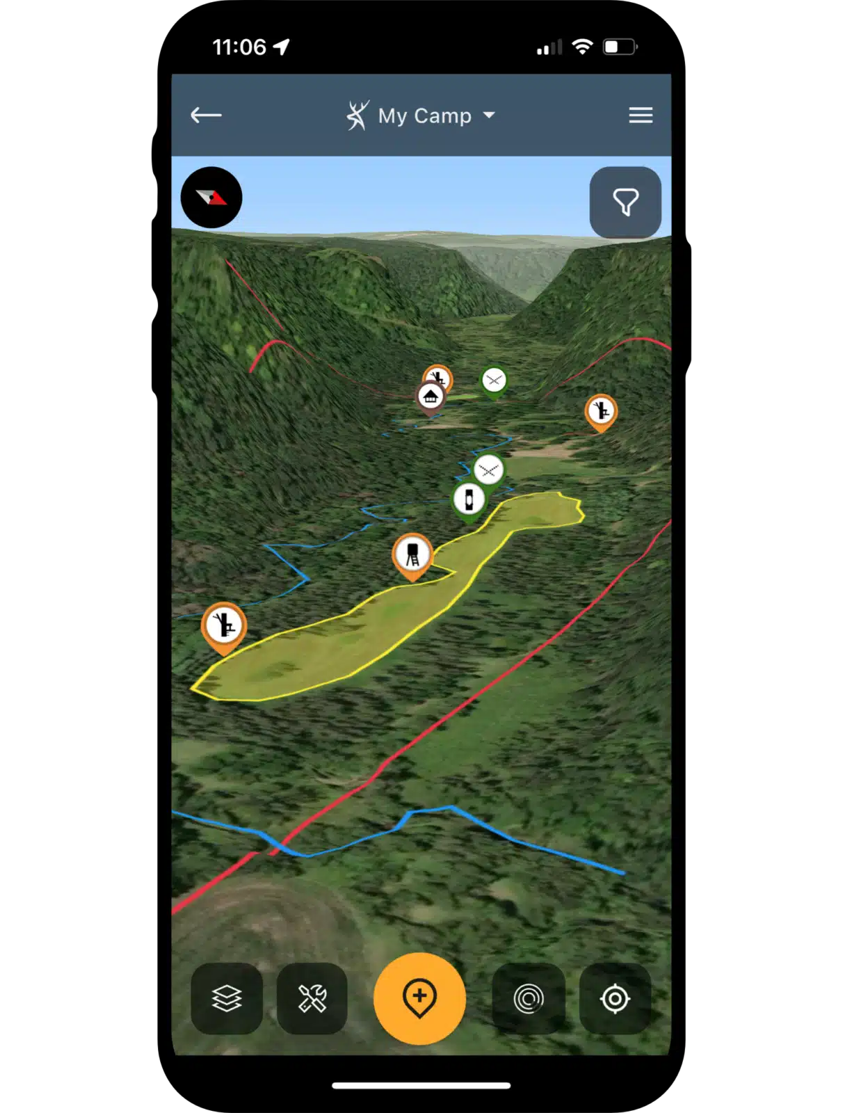
- Real 3D mapping
- Offline mapping
- Weather overlays
- And more

HuntStand Ultimate Upgrade
Each of the above factors are game changers on their own, but the latest addition to HuntStand, which is appropriately dubbed “Ultimate,” is designed for serious deer hunters. You get everything you already love about “Pro” — with the addition of numerous advantages that are even more impactful.
“With HuntStand Ultimate you can learn more about whitetail movements and whitetail biology, including breeding periods,” said HuntStand Wildlife Biologist Brian Murphy. “This helps time hunting trips to maximize success during the time allotted.”

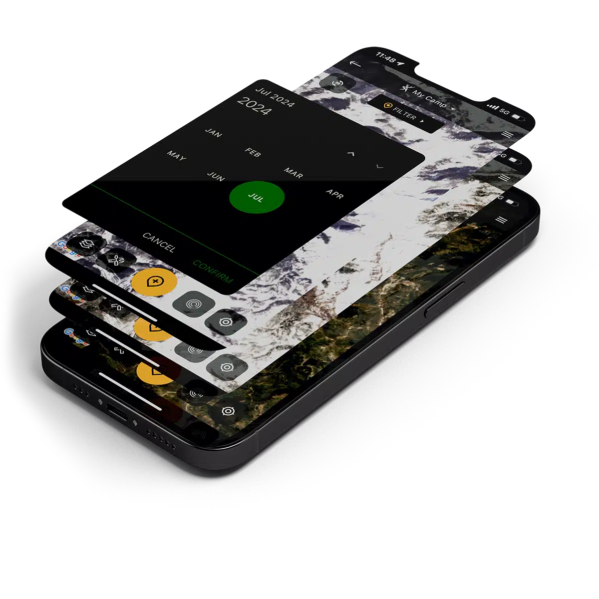
New Whitetail Activity Forecast
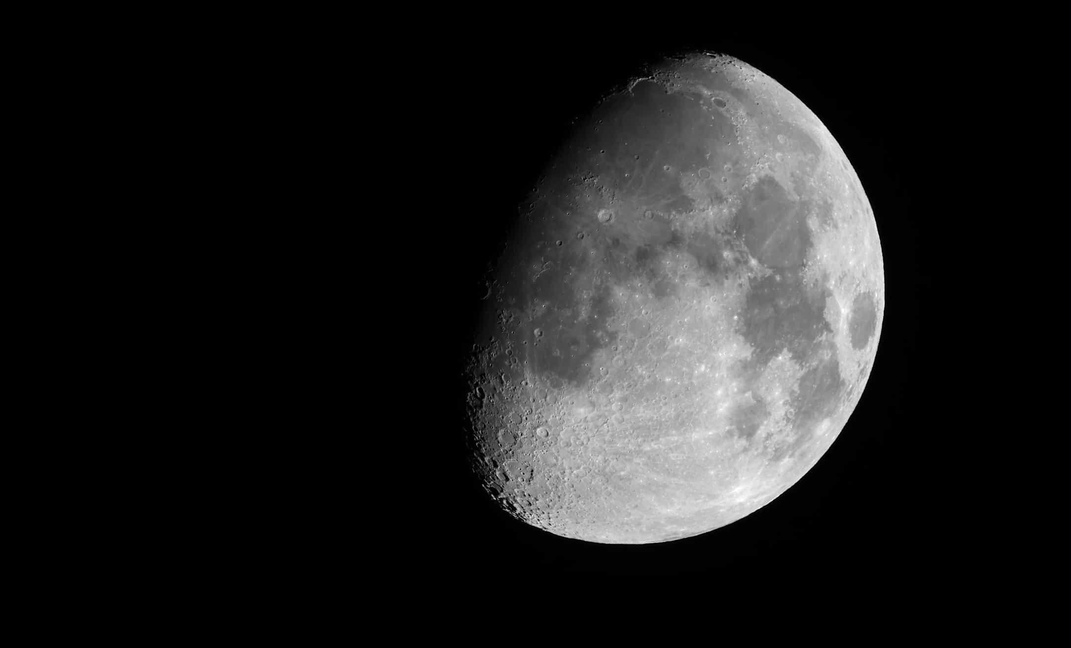
The Whitetail Activity Forecast feature is a ground-breaking prediction tool that holds serious benefits for deer hunters. It’s driven by a state-of-the-art algorithm that’s unlike any other prediction tool on the market. Overall, it factors in precise breeding timelines for the specific county, time of day, barometric pressure, temperature changes, wind speed, precipitation, moon phase, etc. These things are processed as data to provide hunters with the most accurate deer movement prediction tool.
The HuntStand Whitetail Activity Forecast considers breeding timelines for the specific county, time of day, barometric pressure, temperature changes, wind speed, precipitation, moon phase, and more. Combining this data provides hunters with the most accurate deer movement prediction tool.
“This has never been done before,” Murphy said. “At least, not in a biologically sound way, to my knowledge. This model considers things no other model before it has. It has the breeding timing for each county in America, using the new HuntStand Rut Map data. Because without the Rut Map — which had never been done before — no one could have possibly included that information in their models. There are so many unique ruts throughout the country. This forecast tool considers the specific ruts in each area.”

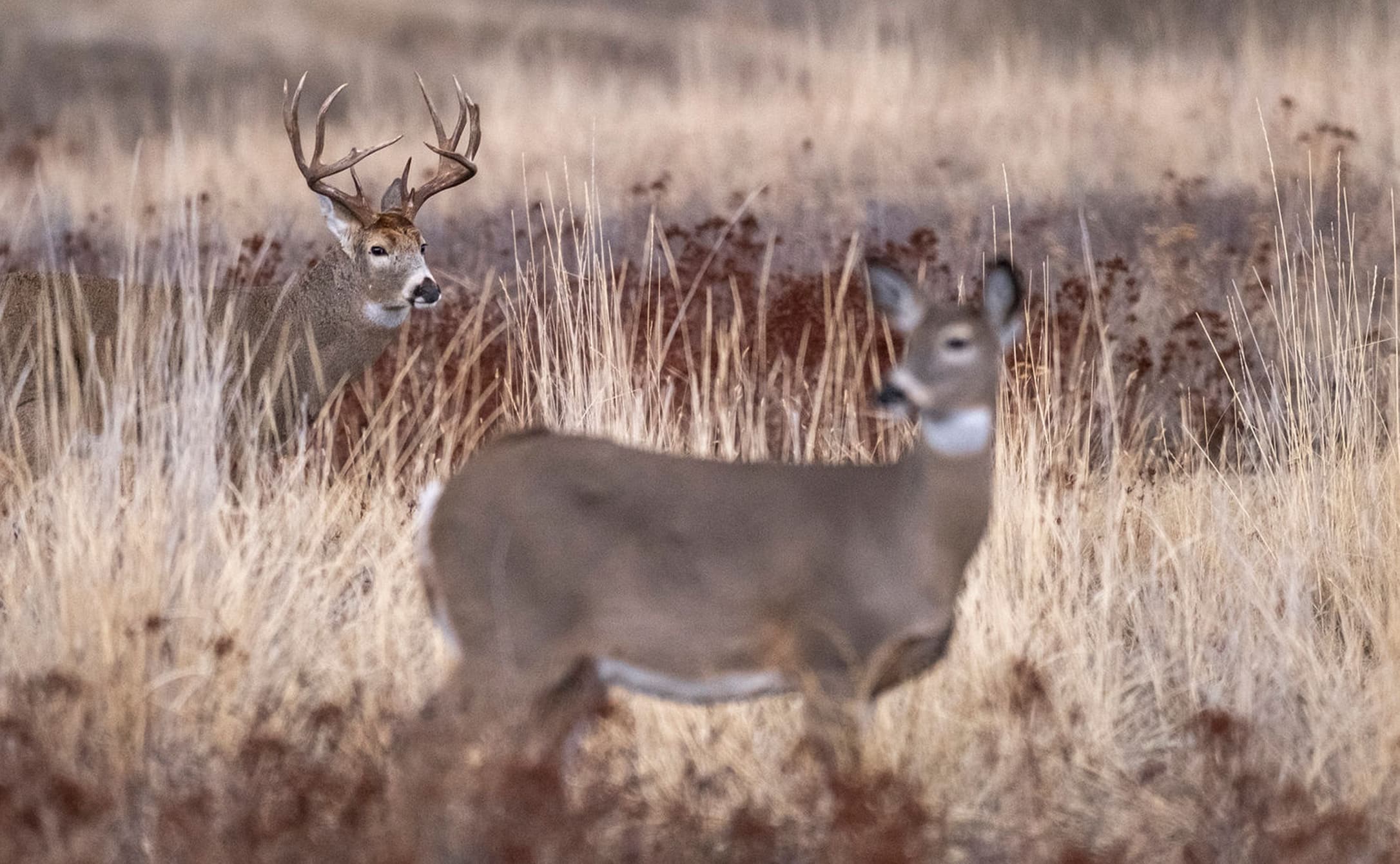
You might know how the rut unfolds in your local area, but traveling hunters, especially, can benefit from the new Whitetail Rut Map info that offers detailed, site-specific information on all the whitetail states across the nation.
Make the Most of your Hunt
Naturally, something like this has many real-world benefits. Being able to accurately predict when deer are more likely to move is a very useful thing, especially for those with limited hunt time. When someone is cashing in hard-earned time away from work, and especially family, they don’t want to waste it.
“This is not just another ‘back-of-the-napkin’ moon phase predictor or some nationwide generic predictor,” Murphy said. “This is a tailored, unique, biologically driven model that I believe is the most-superior activity predictor of its kind ever created. And it was built with input from some of the top deer minds in the country, including many whitetail Phds who made sure we were on the right track at every turn. No tool has ever been fine-tuned to factor in when a particular deer herd ruts at the county level.”
Considers All Deer Movement Factors
Because it was meant to be accurate, and not just a gimmick, each influential factor that impacts deer movement is weight-rated and ranked based on importance. It’s a scientific community-driven model by all those who chipped in their knowledge.
“It weighs these things in a mathematical model that has hundreds of thousands of combinations,” Murphy said. “This algorithm is a monster, because there are so many different possible combinations, including weather, time, date, and more.”
Most deer movement predictors take into consideration just one factor such as moon phase, making their accuracy questionable at best. The HuntStand Whitetail Activity Forecast makes use of a comprehensive set of deer-movement variables, backed by decades of scientific research.
Works All Season Long
Being able to do that is a very useful thing, especially when looking to maximize the efficiency of your hunt. And you will benefit whether your hunt unfolds during the early season, pre-rut, rut, post-rut, or even late season.

“With the Whitetail Activity Forecast you can go hour by hour or day by day seven days into the future, and see when deer activity is likely to peak.”

Brian Murphy
HuntStand Staff Wildlife Biologist“With the Whitetail Activity Forecast you can go hour by hour or day by day seven days into the future, and see when deer activity is likely to peak,” Murphy said. “If you have some flexibility in your schedule, you can use this tool to determine when to hunt to be most successful.”
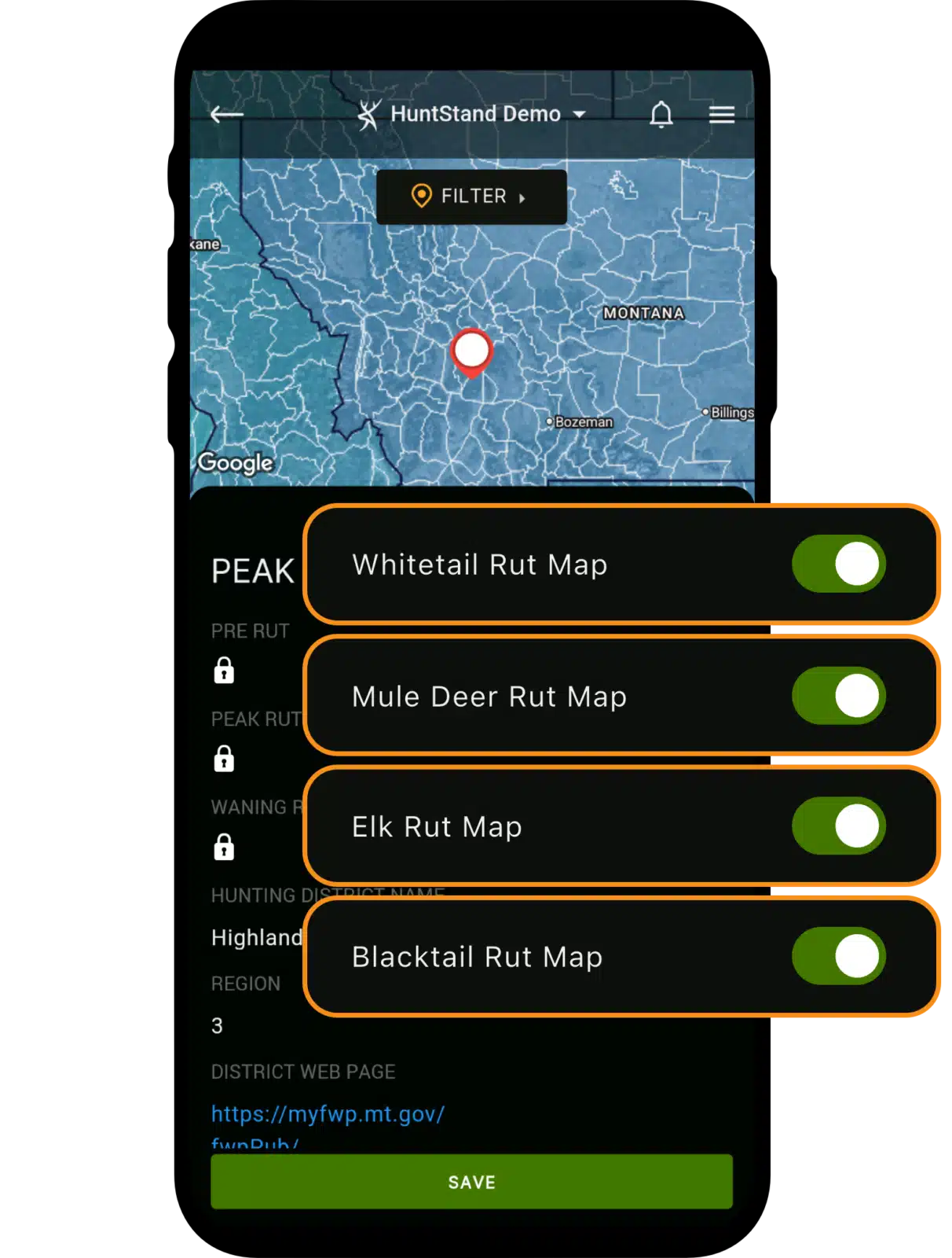
New Whitetail Rut Map
Another incredible tool that comes with the HuntStand Ultimate upgrade is the “Whitetail Rut Map.” This too, is the first of its kind. Never has the country’s entire rut data been synchronized in such a way. And we’re talking all phases of the rut for specific locations.
“The Whitetail Rut Map details the peak two-week conception period in 43 states and 4,240 counties and parishes,” Murphy said. “This has never been done before; it’s more site-specific information that considers your precise hunting area.”
Both the new Whitetail Activity Forecast and Whitetail Rut Map offer detailed, site-specific information you can't find anywhere else. These tools help you understand what is going on precisely where you hunt, right now.
Hunters of All Skill Levels can Benefit
Of course, this is impactful for all hunters, even those who only hunt locally and think they know when “their” rut unfolds. Chances are most do, especially with years of experience in an area. However, you might be surprised. Personally, I know of numerous experienced hunters who plan to slightly alter their hunt plans due to the HuntStand Nationwide Rut Map.
Regardless of experience level, the rut map is great for local hunters knowing the best times to be afield. However, it’s even more impactful for the traveling hunter. This tool makes it possible to know when the rut will occur in each destination on the schedule. This makes it more possible to line up trip dates in a way that maximizes the efficiency of each hunt.

New Whitetail Habitat Map
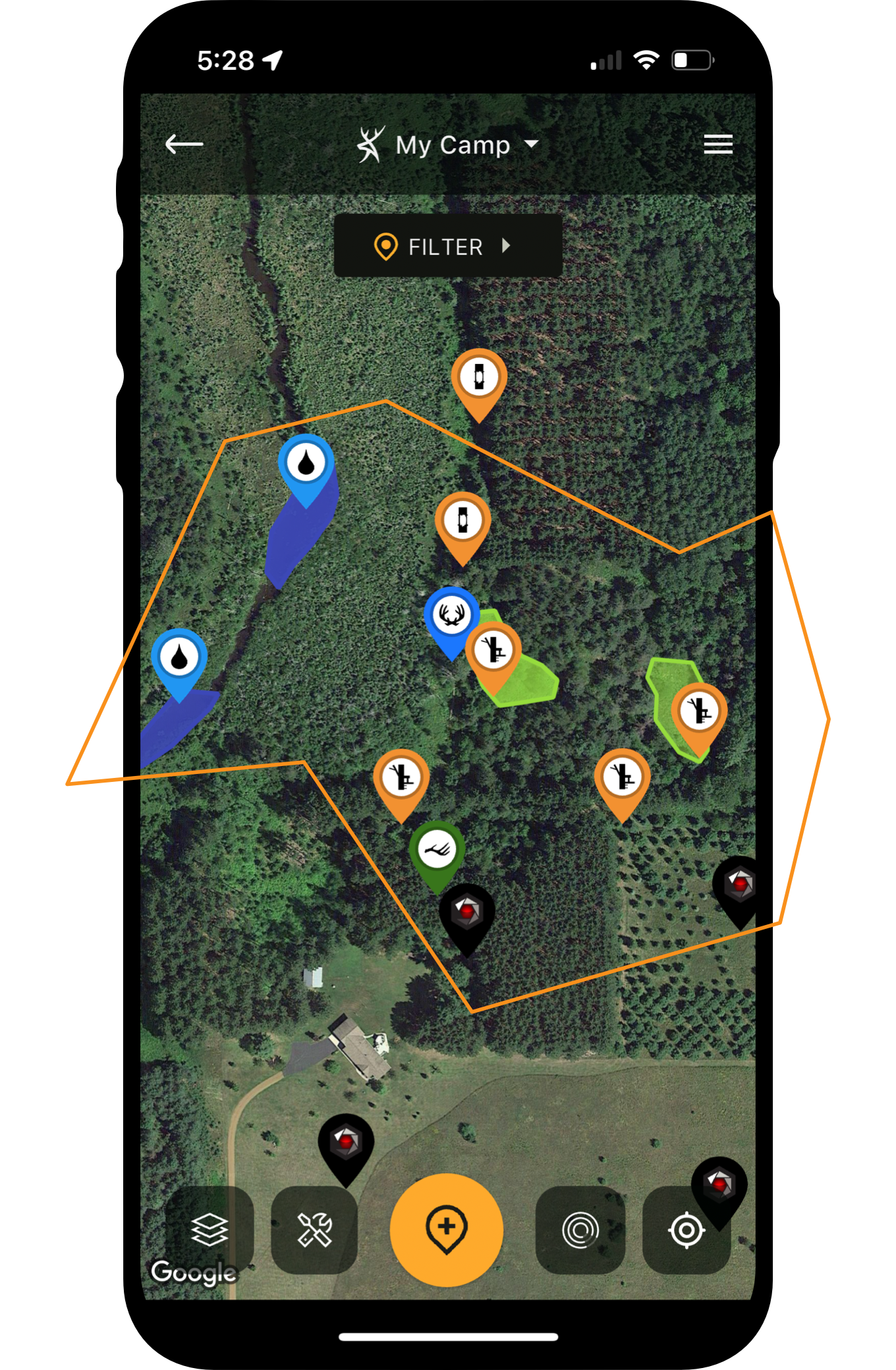
Another benefit of the new HuntStand Ultimate upgrade is another advanced mapping layer. Those who plan to find a place to hunt, and scout new ground, often must do so with limited time. The new heat-map-style “Whitetail Habitat” layer ranks the quality of ground, and helps to pinpoint areas where deer thrive.
“The Whitetail Habitat layer is a different satellite view of the landscape,” Murphy said. “We partnered with a company to highlight the inherent habitat features that are most suitable for whitetail deer across North America. Looking at that map at the macro level, or zooming in, will show the value for a given area. This is particularly helpful if looking for a new piece of ground, or hunting public land. It will help you pick areas that have naturally superior qualities.”
Simple Color-Coded Guide
As Murphy noted, when scouting large swaths of ground, it’s equally important to identify areas that aren’t of interest — as much as it is to find those that are. This layer helps accomplish that quickly, with a high degree of efficiency. This saves time.
Areas that are darker red show better bedding cover habitat. It also might indicate quality mast crop destinations and general browse. Areas that are darker blue tend to be lesser quality, at least in the form of cover. These areas can represent crop fields or water sources that deer might frequent.
That said, most deer spend daylight hours within cover, especially mature bucks. And you can’t shoot what you can’t see during legal hunting hours. Therefore, this tool can be great for identifying potential stand locations that will intercept target bucks, and deer in general.
Knowing when local whitetails are most likely to be on their feet in daylight is a huge advantage when scheduling hunts. HuntStand Ultimate helps you hunt the right place at the right time.
New Crop History Layer
Whitetails are driven by their bellies. While bedding is very important and impacts where deer spend their daylight hours, food controls how and where deer travel. Throughout much of North America, crops play a major role in that. And those who are looking to scout new areas, or need to see what the crop situation is on a distant property, can use the “Crop History” layer to accomplish that.
Using this tool can help hunters identify what crops are where, and where they have been in the past. You can even study this, compare it to past trail camera photos, and see how changing or rotating crops influenced deer activity over time.
New National Aerial Imagery
As deer hunters, we can never have to many app layers to study the terrain and topography. The “National Aerial Imagery” layer adds to that effect and provides yet another excellent tool to study the habitat and terrain. As you see in the screen image below, it provides a crisp, high-resolution look at the landscape. You’ll see details you might miss with other layers.
As with other terrain-focused layers, this one is very good for seeing where bedding cover, food sources, and water sources might be located. It reveals where deer likely spend time. Even use it to pour over potential staging areas, where deer can likely be intercepted during daylight hours.
If you're serious about tasting deer hunting success, the new HuntStand Ultimate upgrade delivers cutting-edge information that's not available elsewhere.
A Ground-Breaking Upgrade
As a veteran whitetail hunter, I’m excited to recommend HuntStand’s new “Ultimate” — it’s easily the most-beneficial app service available to deer hunters everywhere. Bottom line, this ground-breaking upgrade holds features that truly give deer hunters the edge. Especially, when you consider it features scientific data that impacts the specific ground where whitetails live nationwide. Areas that you and your buddies are hunting right now. My take? Do yourself a favor and check into HuntStand Ultimate — a ground-breaking upgrade well worth the price of admission.