



MEMORIAL DAY SALE
Unlock our most powerful features by upgrading to HuntStand Pro. Property boundaries & ownership data, public hunting lands, monthly satellite imagery, and more!
Through May 26th, upgrade for only $20.99 USD.
Note: This is a limited time offer valid only on new subscriptions purchased through HuntStand.com. Price is $20.99 for the first year, recurring at $34.99 per year.


 PROPERTY DATA
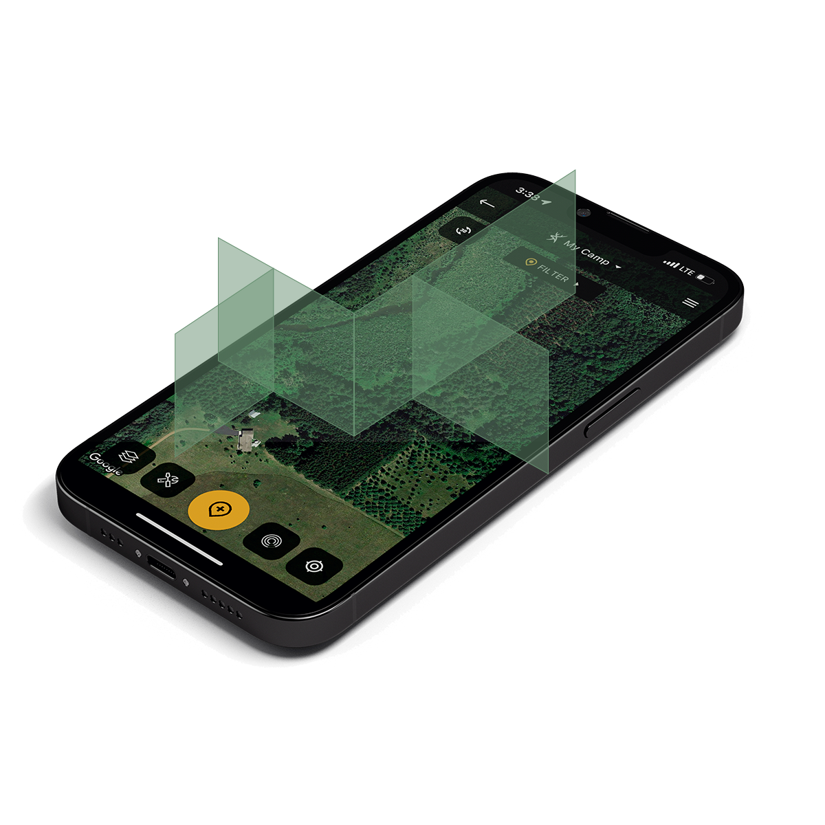
Know your boundaries with nationwide property data.
By combining thousands of sources, we’ve created the most detailed nationwide database of private and public land made specifically for hunters:
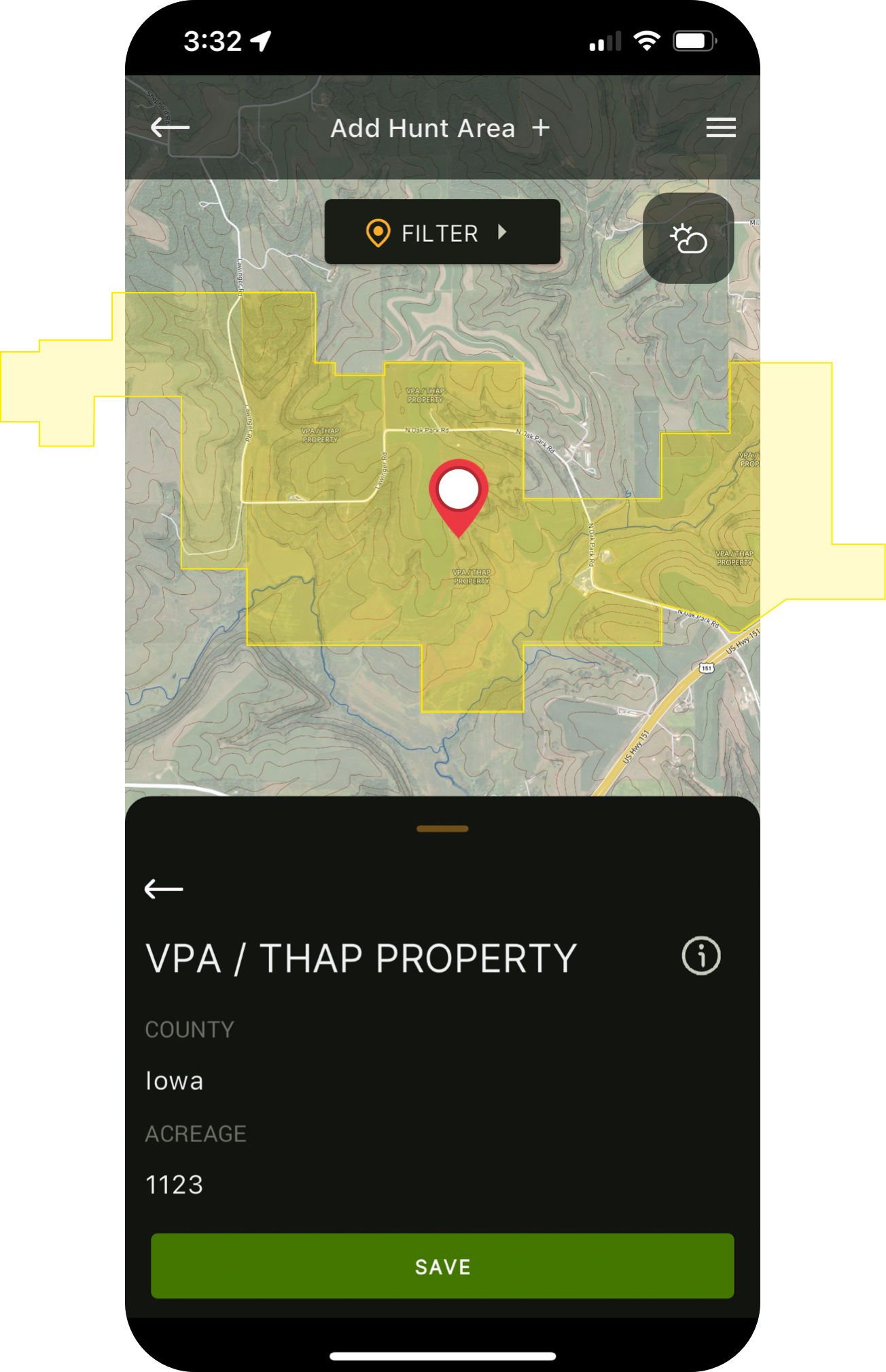
- View detailed property boundaries (U.S. and most of Canada)
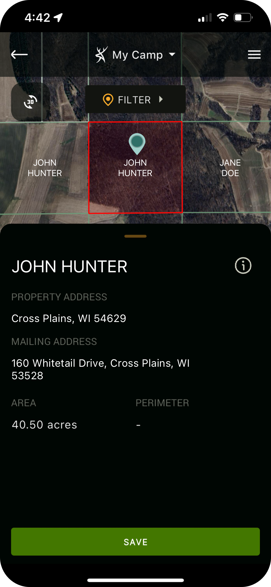
- View the owner’s name while mapping (U.S. only)
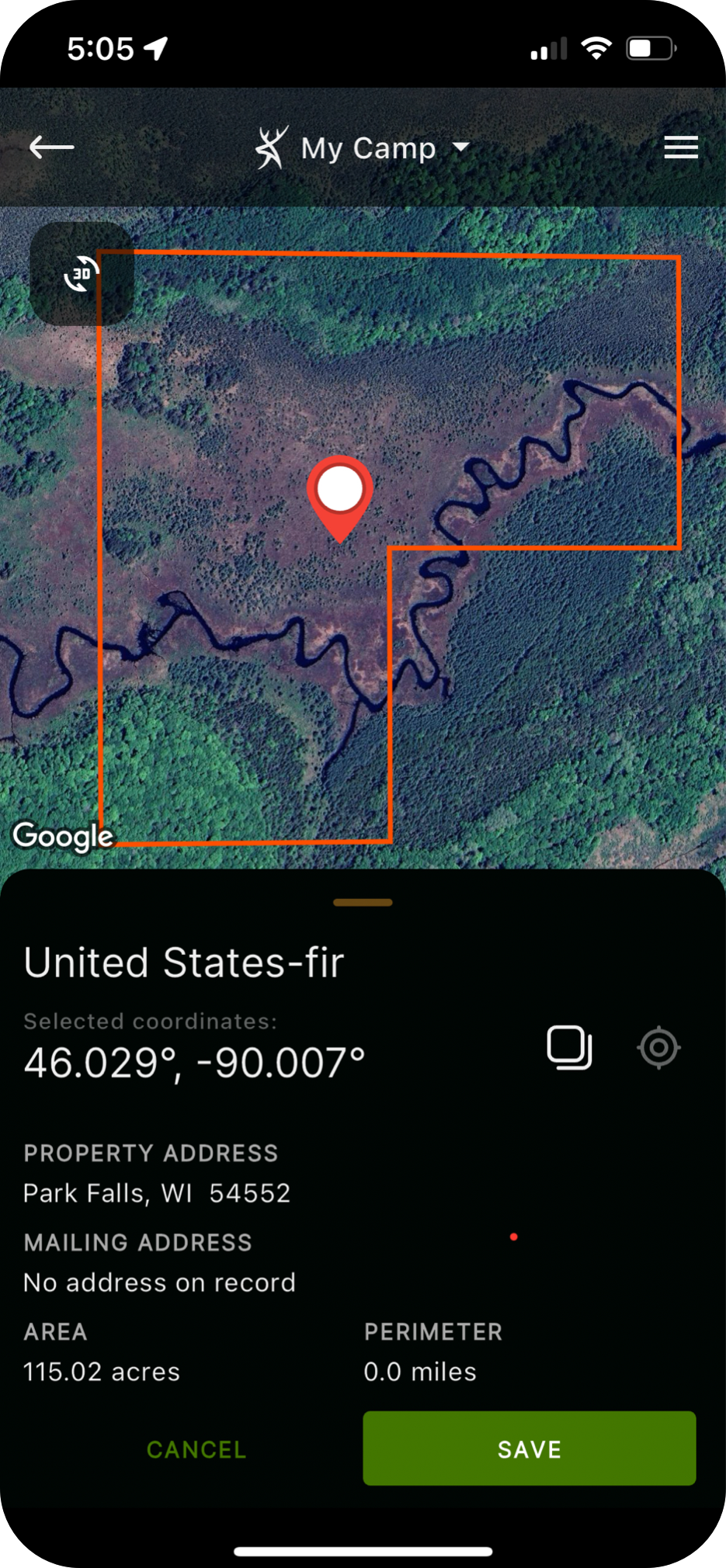
- Access detailed ownership information with a single tap (U.S. only)
- Access detailed public hunting land maps, including allowable uses.
To see available property data by county/state/province click here.


 PREMIUM MAPPING LAYERS
Create the most powerful hunting maps possible.
Add layer upon layer of useful data to your maps with the growing list of HuntStand Pro Advanced Map Layers, including:
- Detailed Public Hunting Lands
- General Public Lands & Allowable Uses
- National Aerial Imagery
- Crop History Map
- TerraPulse Tree Cover
- Natural Atlas
- MapBox Color Corrected Satellite
 MONTHLY SATELLITE IMAGERY
From space to your fingertips.
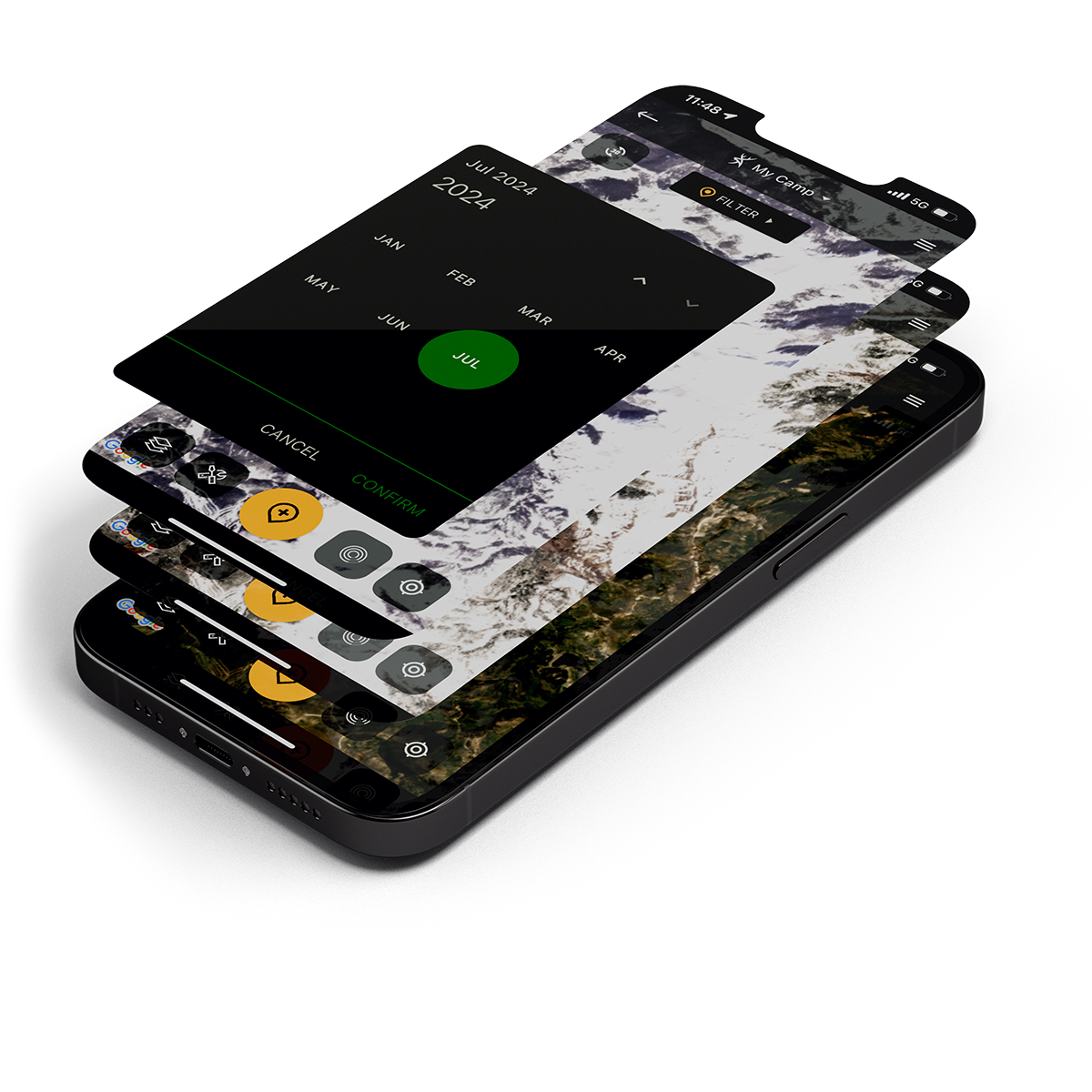
Traditional aerial imagery is only updated every 2-3 years, leaving a major blindspot for hunters and outdoor enthusiasts. We are the first app to offer monthly satellite imagery. This layer is lower resolution than traditional aerial imagery, but trades clarity for recency.
This is perfect for viewing:
- Timber thinning / clear cuts
- Fires and burns
- Flooding
- Agricultural activity
- Snow and ice cover

 TRAIL CAMERA MANAGEMENT
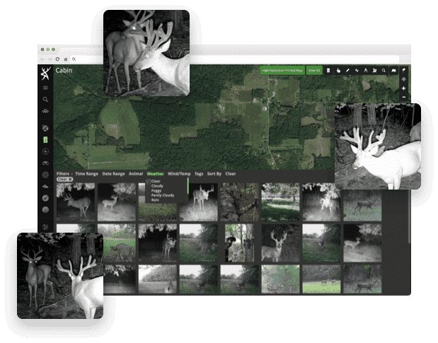
Trail cameras can be work, make them work for you.
HuntStand offers the best trail camera management functionality out there!
- Get 40GB of storage space for photos.
- Photos automatically sync with weather and solunar information.
- AI species recognition spots and tags game for you.
- Generate a heat map that shows you trail camera activity by location.
 Real 3D Hunt Area Maps
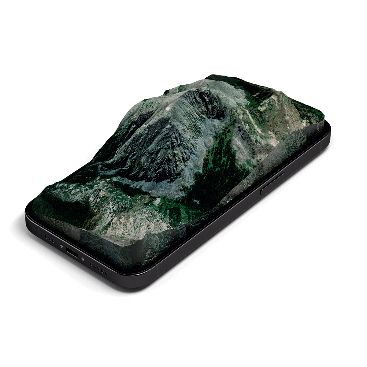
View your Hunt Areas in Real 3D.
HuntStand Pro offers the industry’s only real 3D views on all devices, including iOS, Android and laptop/desktop PCs.
- Easily see changes in elevation or geographical formations.
- Plan your back country plays using markers, shapes and more.
- Pan, zoom and rotate to virtually “fly through” your hunt area.




 STAND RESERVATIONS
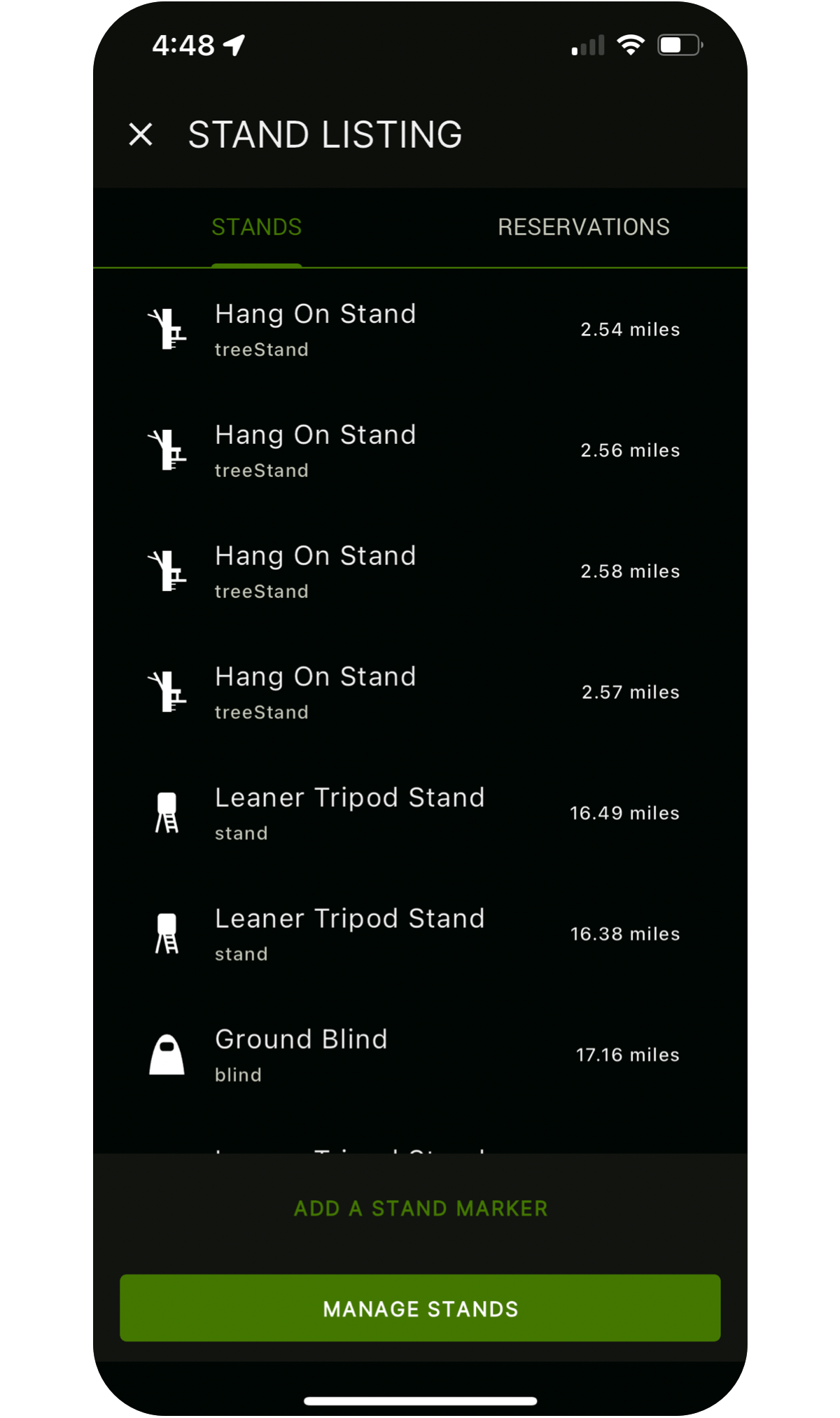
Organize your hunts with Stand Reservations.
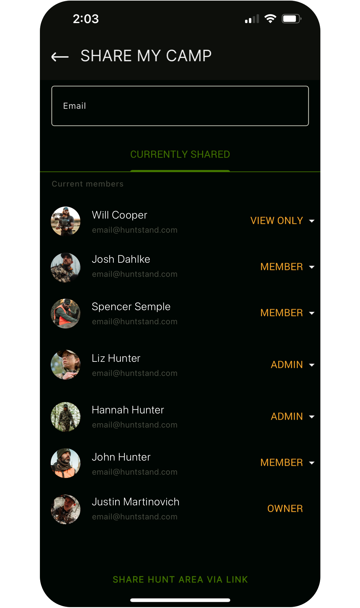
HuntStand Pro users get access to a robust stand reservation system that can help you and your club manage stands more efficiently:
- Reserve a stand for a specific time slot.
- View upcoming reservations for a specific stand or all stands in a group hunt area.
- Search for available stands/blinds in a hunt area by date or time.
- See what stands are currently occupied and by whom.
 WEATHER OVERLAYS
Access detailed weather maps.
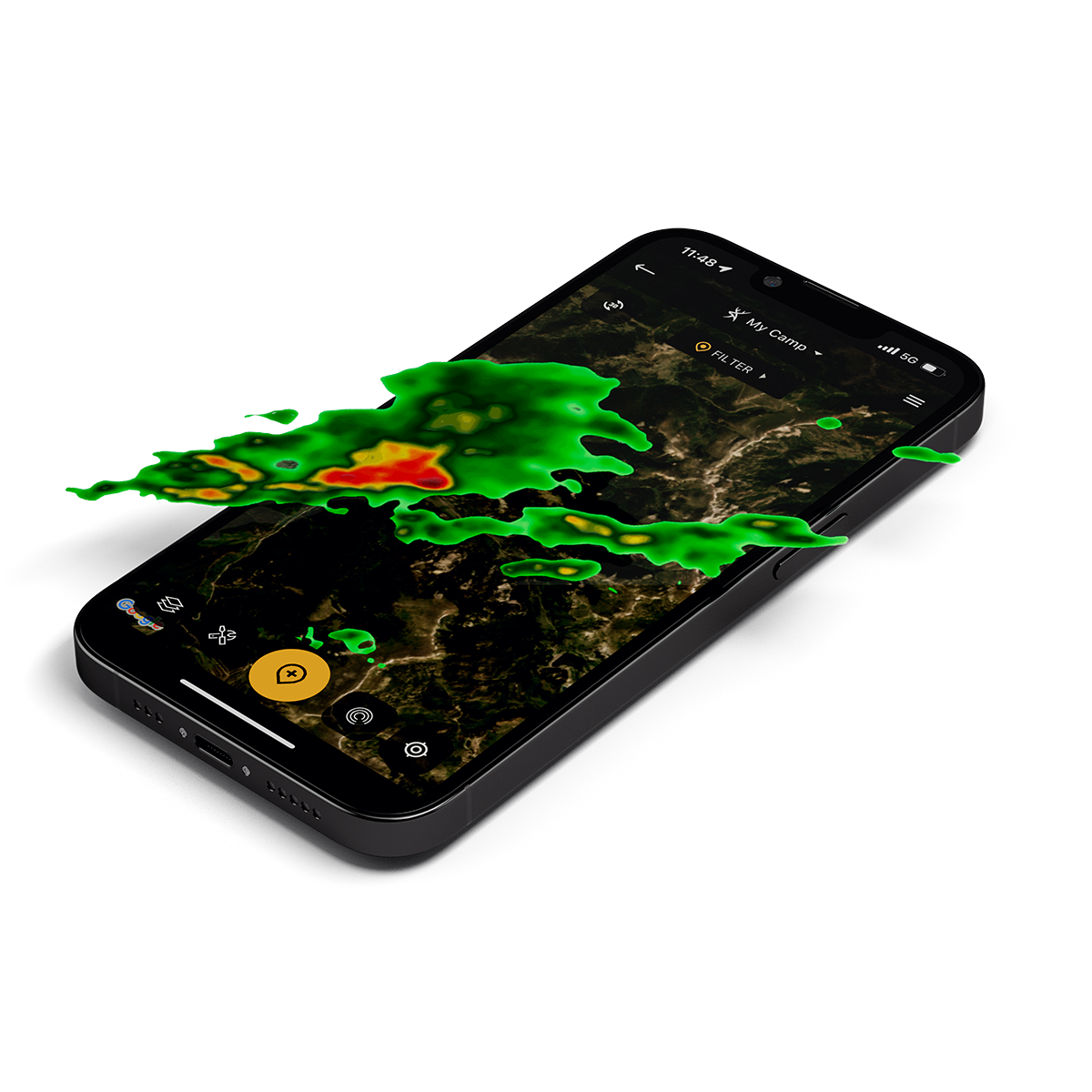
HuntStand offers universal weather overlays showing current and forecasted conditions. Available weather overlays include:
- Radar
- Precipitation
- Snow accumulation
- Temperatures
- Fires
- Drought Monitor

 Advanced Property Search
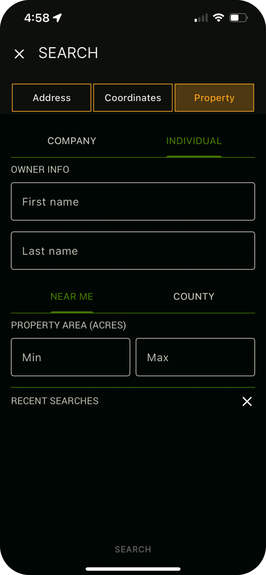
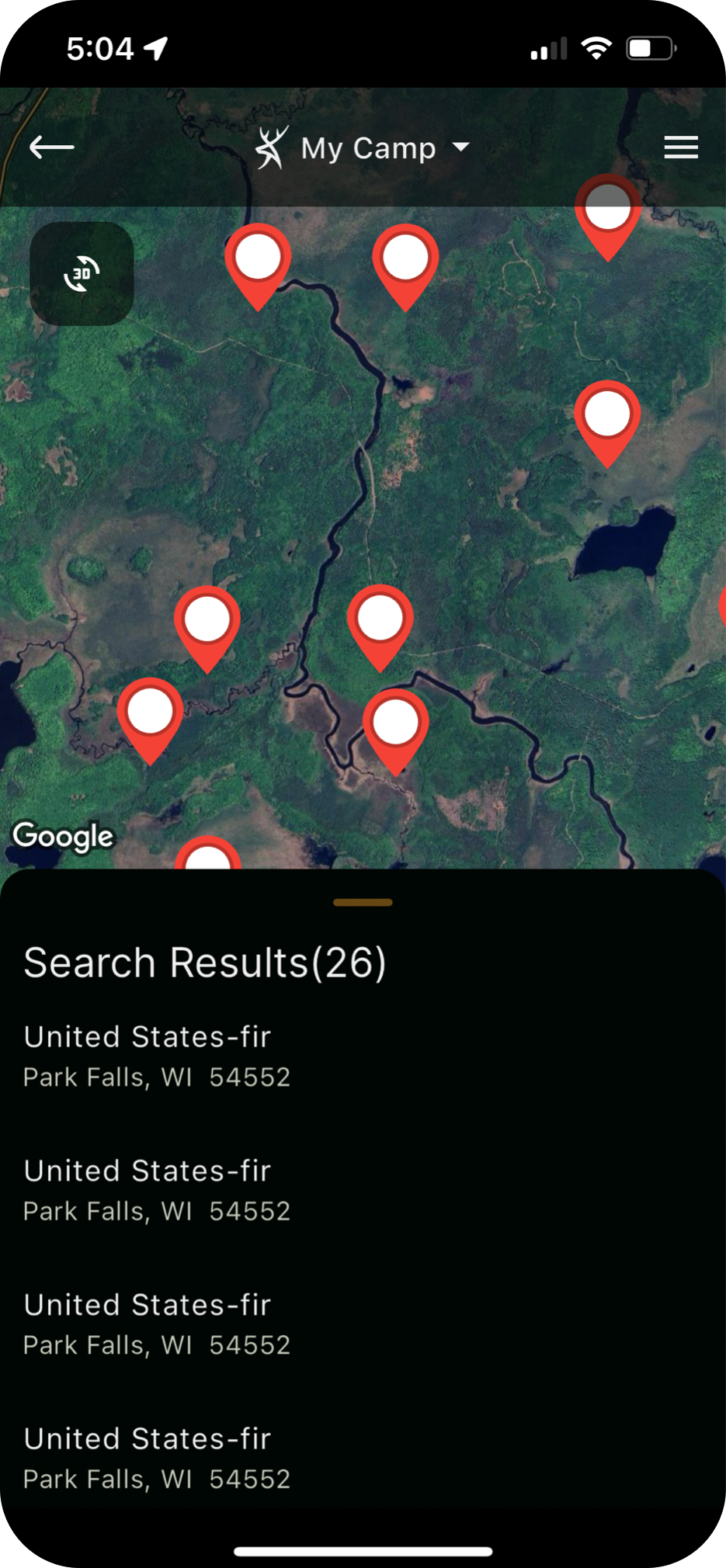
Search our nationwide property database.
Searching out new hunting land? Advanced Property Search is a very powerful new feature that allows you to easily search and view results in our entire nationwide ownership database.

Make your Mark
HuntStand is the #1 hunting and land management app in the country. It combines advanced mapping tools with powerful map layers to allow users to create and share the best hunting maps possible.
Upgrade to Pro