


Choose Your Subscription
Unlock our most advanced tools and exclusive benefits — built by hunters, for hunters. Starting at just $34.99/year, every membership gives you access to premium mapping layers, powerful hunt-planning tools, and more. Upgrade to Ultimate to gain a serious edge in the field with game activity forecasts, rut maps, gear store discounts, and exclusive whitetail insights.
HuntStand Pro Whitetail is now HuntStand Ultimate. With an Ultimate membership, you’ll unlock advanced tools for whitetail hunting and western big game — plus exclusive discounts up to 50% on gear from top hunting brands in the HuntStand Gear Store. All active HuntStand Pro Whitetail members are locked in at $69.99/year. You’ll keep your current benefits and pricing as long as your membership remains active.
All the powerful features of HuntStand Pro, plus exclusive tools to help you hunt smarter and succeed. Unlock 15-day activity forecasts, advanced rut maps, gear discounts, and more.
BUY NOWUltimate
$99.99 USD ($8.83/month billed annually)Includes all HuntStand Pro features plus powerful mapping and forecasting tools for success from the Midwest to the mountains.
- All HuntStand Pro Maps
- All HuntStand Pro Features and Tools
- 20-50% off HuntStand Gear Store
- 15-Day Game Activity Forecasts for Whitetail, Elk, Mule Deer & Blacktail
- Exclusive Rut Maps for Whitetail, Elk, Mule Deer & Blacktail
- Whitetail Habitat Map (U.S. only)
Pro
$34.99 USD ($2.92/month billed annually)Access premium map layers and hunting tools in the United States and Canada.
- Property Boundaries
- Property Ownership Data (U.S. only)
- Monthly Satellite Imagery (U.S. only)
- Public Hunting Land Maps
- National Aerial Imagery (U.S. only)
- Advanced 3D Mapping
- 10-20% off HuntStand Gear Store
- Stand Reservations
- Unlimited Offline Maps

Unlock Advanced Tools with Ulitmate
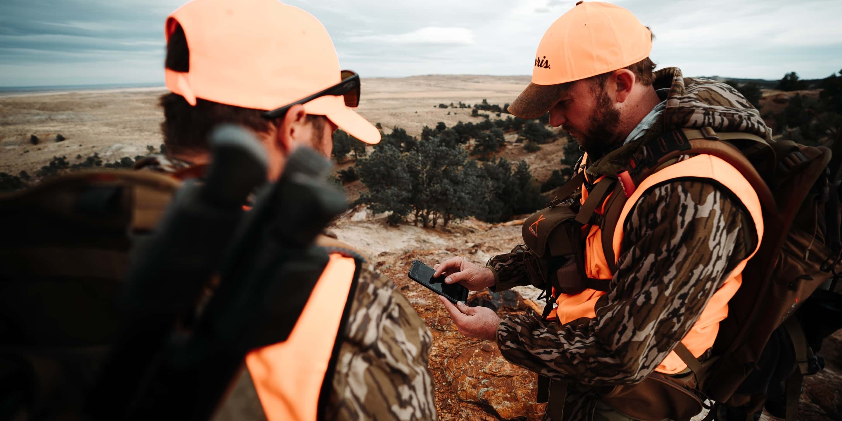
From the Midwest to the mountains, HuntStand is the best GPS mapping app for hunters. We deliver unmatched aerial imagery with smart map overlays and specialized tools, empowering you to plan and succeed on every hunt. With a HuntStand Ultimate membership, you’ll unlock our full suite of mapping tools plus exclusive members-only discounts on top hunting brands.

FULL ACCESS
Enjoy unrestricted, nationwide access to every map layer and premium feature HuntStand offers.
ADVANCED GAME FORECASTS
Get movement predictions built with input from leading wildlife biologists and real-world behavior data.
STEEP DISCOUNTS ON GEAR
Unlock exclusive savings in the HuntStand Gear Store — up to 50% off top hunting brands.
EXCLUSIVE RUT MAPS
See peak rut activity with precision data sourced directly from state wildlife agencies.
WESTERN GAME UNIT MAPS
Navigate western hunts with detailed maps of species districts, game units (GMUs), and hunting zones.

MONTHLY SATELLITE
Access the highest-resolution monthly satellite imagery available in any hunting app.
NEW 3D MAPPING
Explore terrain like never before with immersive, next-gen 3D maps for smarter e-scouting.
THE #1 HUNTING AND LAND MANAGEMENT APP IN THE COUNTRY


huntstand ultimate
Upgrade to Ultimate today and unlock the most advanced hunting maps and tools we’ve ever built.
upgrade to ultimate