



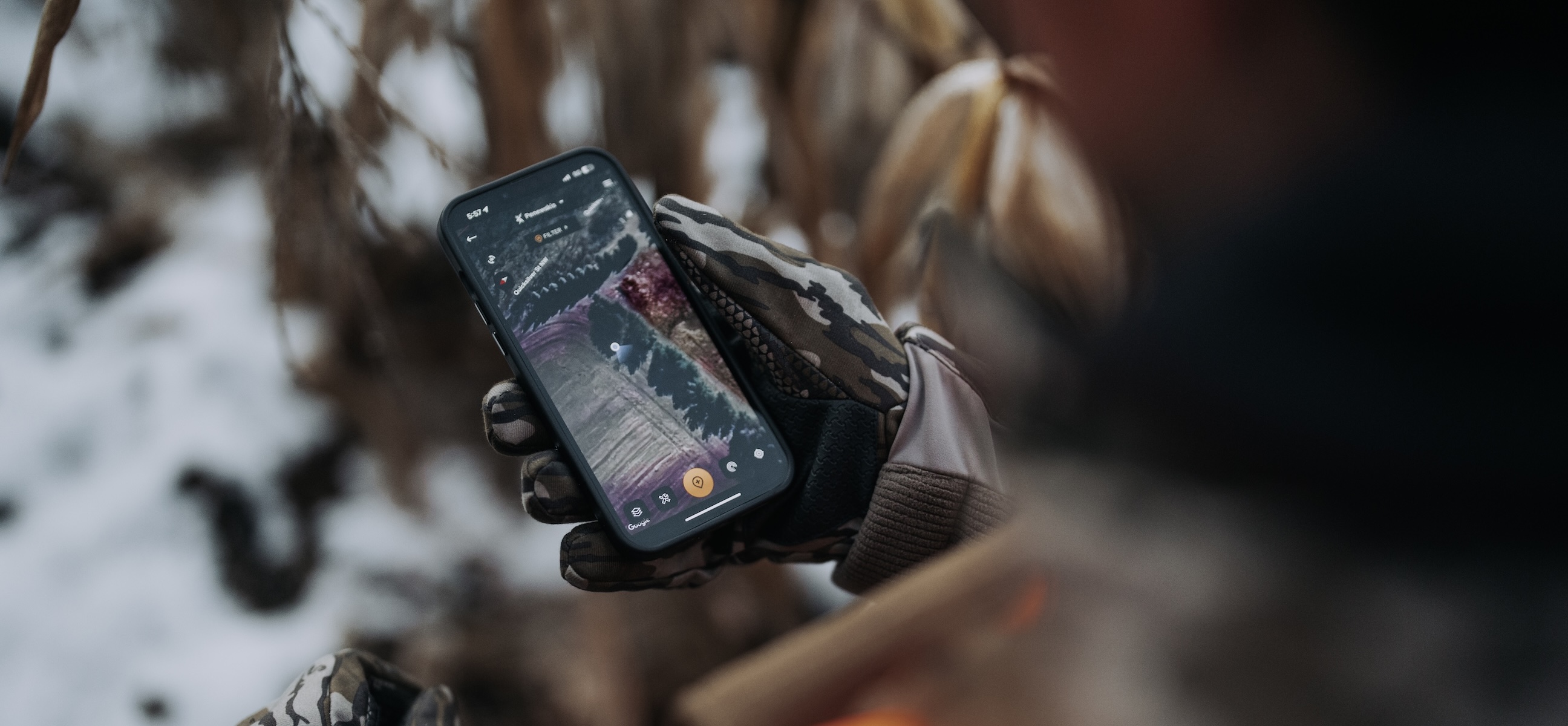

Base layers, overlays, offline maps, cellular trail camera photo integration, and much more — HuntStand is a powerful, all-inclusive app that solves big and common deer hunting problems for hunters. Many of the challenges hunters face can be remedied with help from the app. Without question, HuntStand is the premier digital scouting tool for big and small game hunters. It’s the ideal, pocket-sized tool that packs a major punch. But are you using it to the fullest? Maybe not. Here are ways you aren’t using HuntStand (but should be).
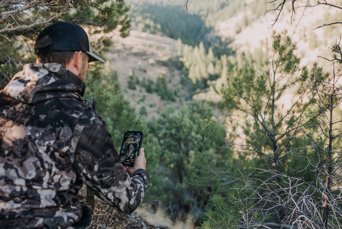

Save offline versions of your maps to continue using these in the backcountry.
1. Saving Offline Map Versions
Every deer hunter should save offline map versions of their hunt areas. Those who operate in locations with minimal or no cellular service should definitely do so. With properly downloaded and saved offline maps, you can continue using HuntStand layers and tools, even if service fades. Pro tip? If adequate service isn’t available for online mapping, turn on airplane mode to save battery life.
2. Implementing Each of the Base Layers and Overlays
HuntStand comes with numerous base layers. Don’t just use one of these. Each one offers nuanced benefits. Deploy each one to enjoy unique advantages.
For habitat-centric details, use the Hybrid, Monthly Satellite, National Aerial Imagery, Satellite, Mapbox Satellite, and 3D Mapbox Satellite layers. For topography-centric scouting, use the Natural Atlas, Quad Topo, Outdoor, Terrain, 3D Mapbox Street, and 3D Mapbox Satellite layers. Of course, some layers offer both habitat and topography info.
Additionally, certain layers also depict roadways (and road names), such as Hybrid, Street, 3D Mapbox Street, and more. Other specialty layers offer unique benefits, too. Monthly Satellite provides a near-real-time look. Outdoor, Streets, 3D Mapbox Street, and others, depict water sources.
Key overlays (used over base layers) assist with important scouting and planning, too. Property Info, Hunting Lands, and Public Lands are ideal for finding the private and public land hunting hotspots, as well as staying within boundaries. Cell, Crop History, Riparian Areas, Soil Classification, Tree Cover, and Wetlands, help better understand the landscape. The Whitetail Rut Map, Mule Deer Rut Map, Blacktail Rut Map, and Elk Rut Map can assist with planning that perfect rut hunt.
How to Manage Hunt Clubs and Leases with HuntStand Pro
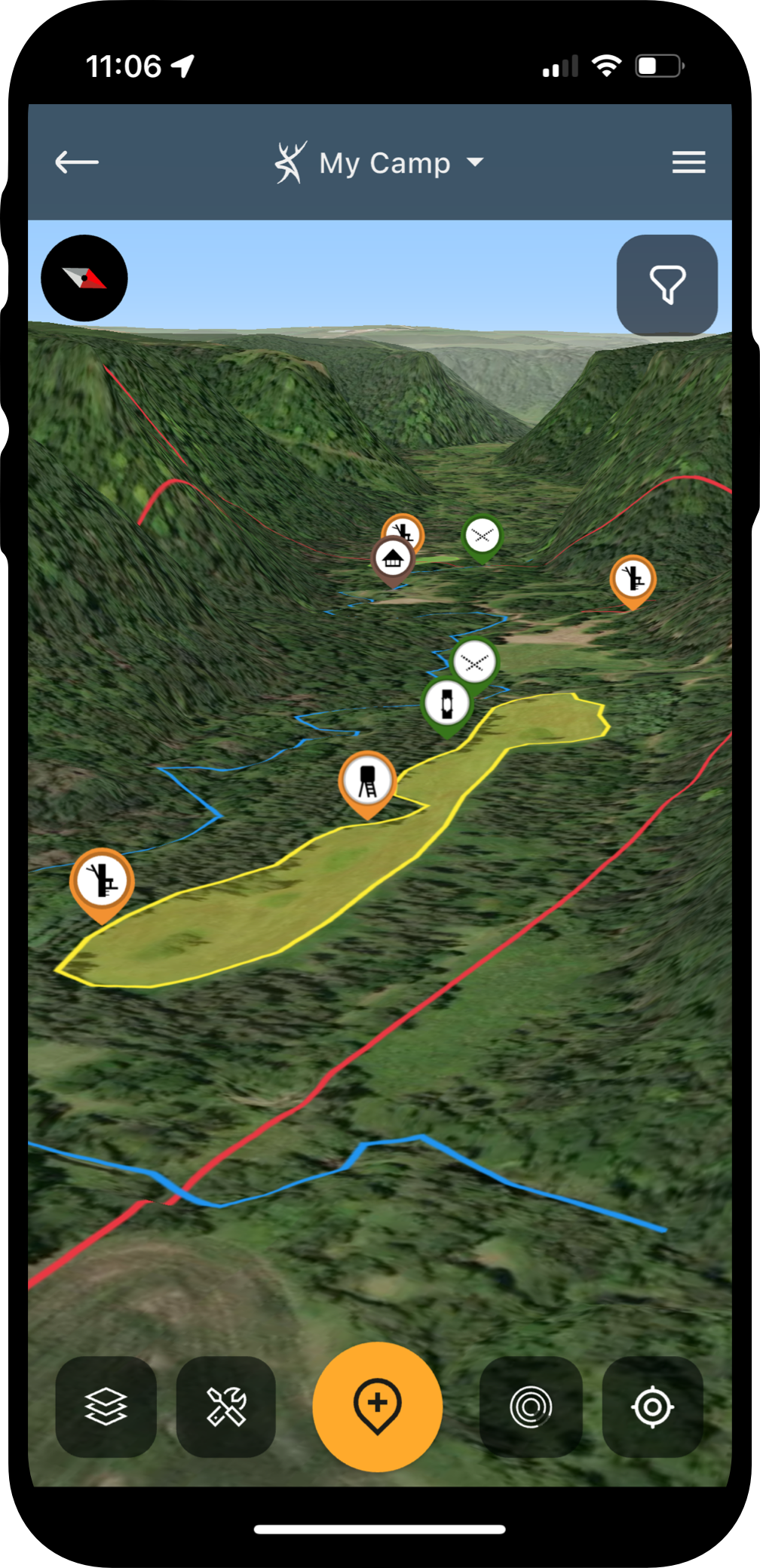
Use the new 3D overhaul to its fullest.
3. Deploying the New 3D Mode
HuntStand’s 3D mode recently received an upgrade. It’s now even smoother and easier to use. Plus, enjoy simultaneous 3D and topo line viewing. You can even toggle the view to exaggerate elevation change for simpler understanding of the property attributes.
4. Micro-Tuning Stand Locations, Food Plots, Etc.
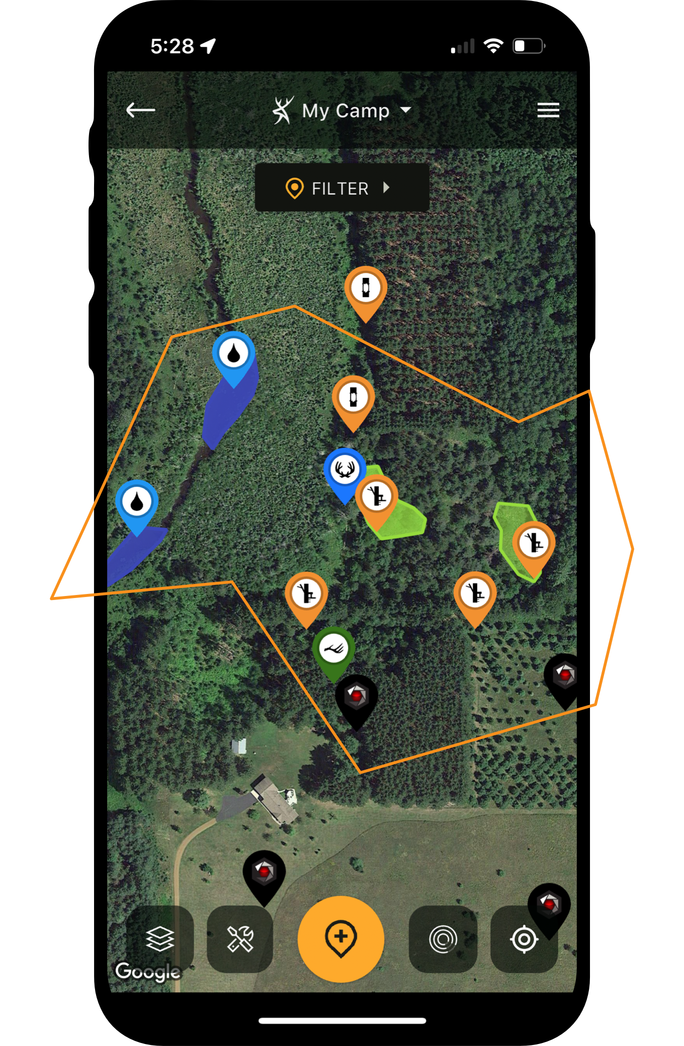
HuntStand is designed to assist with positioning treestands, hunting blinds, food plots, and more. Use it to not only choose general locations but the exact spots your gear will go. Drill down to the exact tree and find just the right one. Then drop the associated marker to remember your blind, stand, etc.
Placing your marker in the exact tree you’ll be in is important for several reasons. First and foremost, this is important when studying the wind direction at your hunting location. If planning a just-off-wind hunt, being off even a few yards can mean the difference in a successful or failed hunt.
HuntStand’s Whitetail Activity Forecast Tool
Type notes for your scouting discoveries.
5. Leaving Scouting Notes
HuntStand provides the ability to leave notes in each dropped marker. Plant types within the food plot. Acreage measurements for lime, fertilizer, and seed. Viable wind directions for stand locations. These and more are important things to remember, and HuntStand makes that easier.
6. Using the Line, Shape, and Measurement Tools
The Line, Shape, and Measurement tools are very useful tools within the HuntStand app. The line tool is great for marking boundaries, fencing, screening, entry routes, exit paths, etc. The shape tool is perfect for marking bedding areas, food plots, property sanctuaries, and more. The Area Measurement tool is ideal for measuring food plot sizes (for seed, fertilizer, etc.). The Distance Measurement tool is perfect for checking yardage estimates, which comes in handy for planning food plots, checking distances between hunting spots and structures, and more.
Use HuntStand’s Property Lines Feature for Deer Hunting
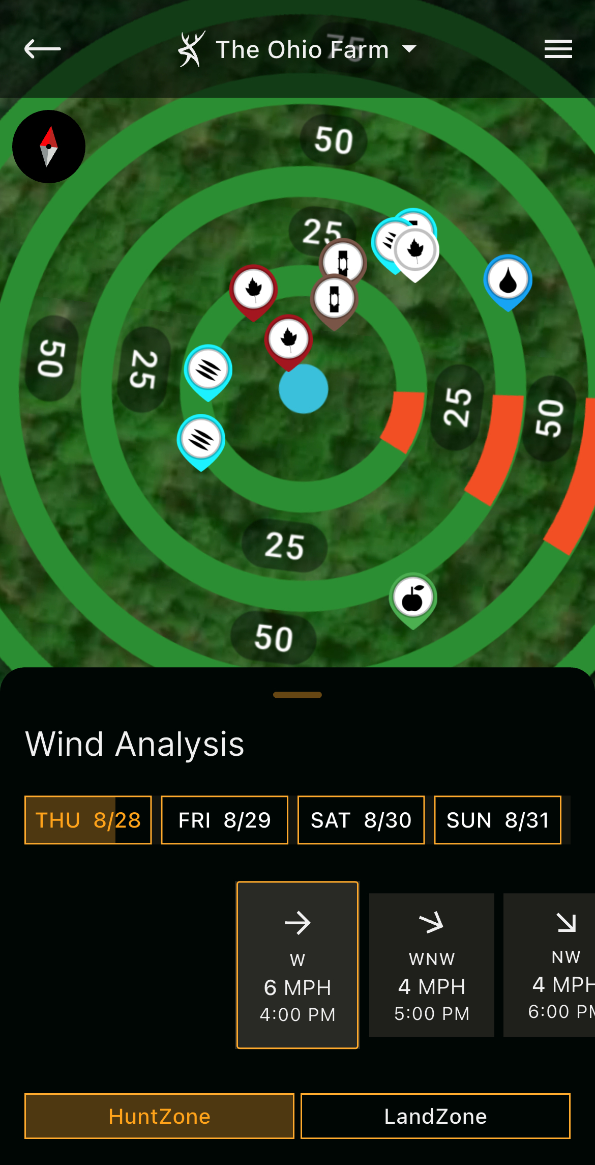
Monitor projected wind directions.
7. Studying Projected Wind Changes
The HuntZone tool is ideal for studying wind directions. Don’t just use it for the current wind direction, though. Instead, check the projected wind changes throughout the hunt. Oftentimes, winds shift, and that can ruin a hunt mid-sit. So, determine how the wind will shift throughout the day, and plan accordingly.
HuntZone doesn’t just provide wind analysis for the current day. It also showcases the projected hourly changes three days into the future. Use this tool to plan future hunts as well.
8. Timing Hunts Just Right
HuntStand was originally designed to help hunters determine the “where” of hunting. Today, it also provides numerous tools that are crafted to assist with the “when” element of pursuing whitetails.
The Whitetail Activity Forecast provides percentage-based activity scores. This is good for gauging when deer might move best based on conditions. It offers four-, eight-, and 15-day forecasts. Now, forecasts are available for blacktail, mule deer, and elk.
The Whitetail Rut Map provides the relevant pre-rut, peak-rut, waning-rut, pre-second-rut, and second-rut windows. Use this to hunt the perfect range of dates to see the most and ruttiest deer movement. Now, this tool also extends to blacktail, mule deer, and elk.
And, as noted, the HuntZone tool helps plan the right time regarding the wind. Sometimes, you just need a slight shift to have the right wind direction.
Add these timing-based tools up, and it’s a trio of assets that can help time the strike perfectly.
How to Speed Scout with HuntStand’s Monthly Satellite Imagery
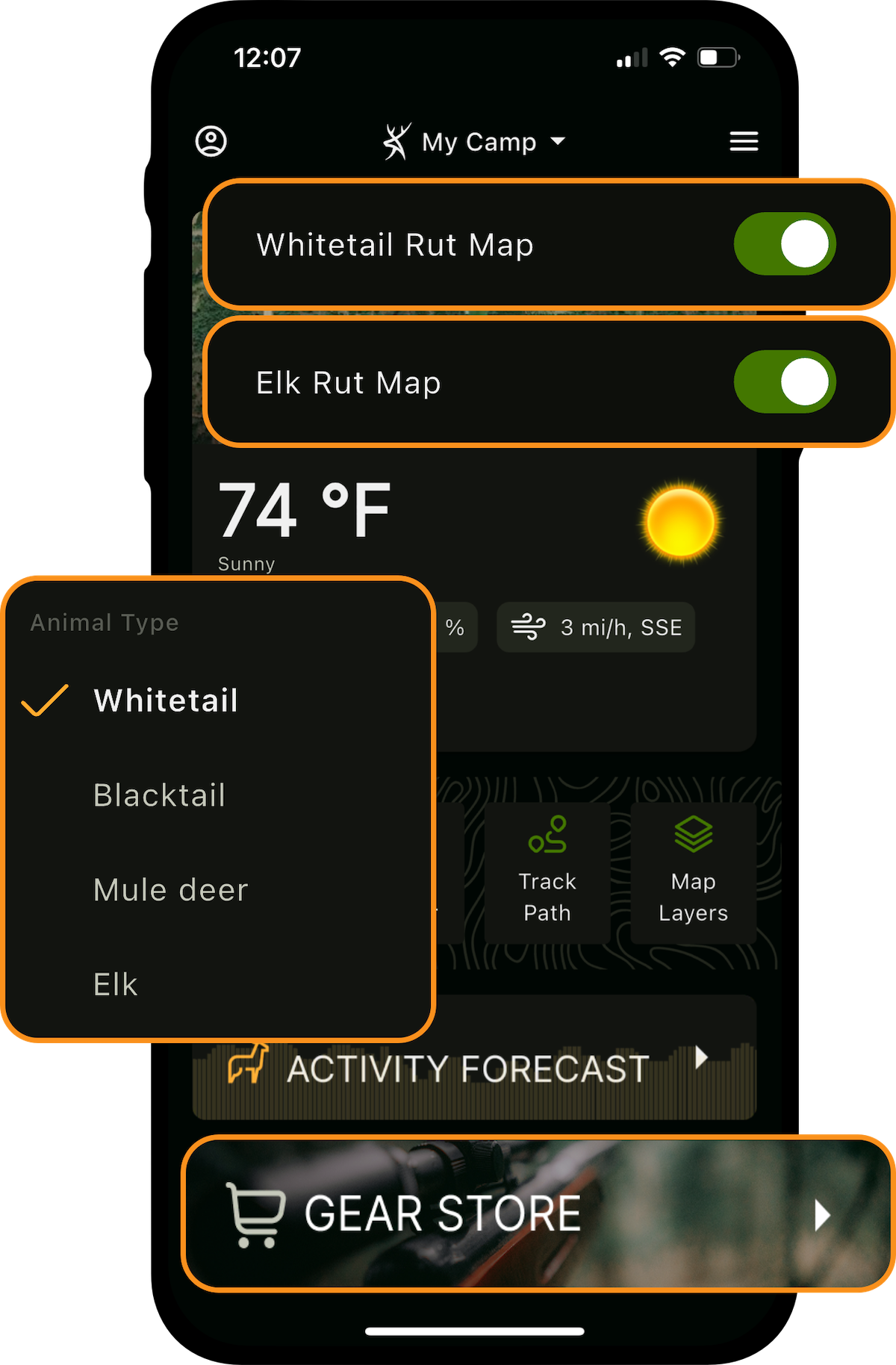
Consult the rut maps before planning hunt dates.
9. Integrating the Command Pro App
The Command Pro app is used with Muddy and Stealth Cam cellular trail cameras. It’s a great app alone, but when integrated with HuntStand, both apps combine for the ultimate trail camera management experience. By integrating Command Pro with HuntStand, and importing your trail camera locations, benefit from extensive trail camera photo analysis. This can aid in patterning deer, choosing the best stand locations, and more.
10. Upgrading to HuntStand Ultimate
HuntStand Ultimate offers the premier hunting app experience. You get everything included with HuntStand Pro, plus much more. It comes with 15-day game activity forecasts for whitetails, mule deer, blacktails, and elk. It also incorporates rut maps for the same species. Plus, enjoy access to the Whitetail Habitat Map, other overlays, and even 20%-50% off HuntStand Gear Store purchases.
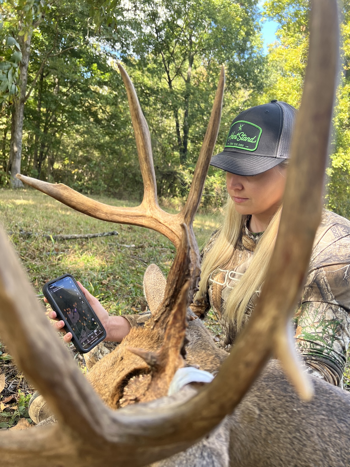
Level up with HuntStand Ultimate.
If you haven’t already, start using HuntStand to its fullest. Benefit from all the features it provides to maximize your hunt scouting, planning, and more. Get the best available digital scouting experience for less than the cost of two fuel stop fill-ups. It’s that easy to take your hunting further.