
content-post-bg

How To Find The Best Public-Land Waterfowl Hunting Hotspots

by Jeremy Dersham

MORE FROM Jeremy

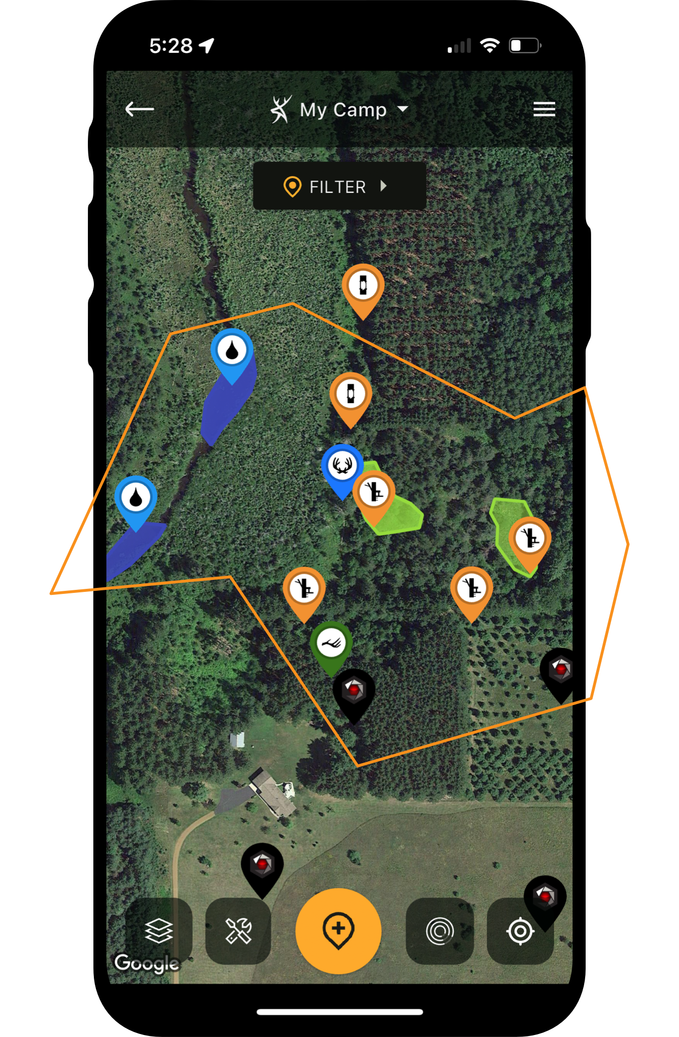
State and Federal lands websites. The HuntStand app. Use these smart tools to zero-in on potential waterfowling hotspots, then complete the circle with on-site scouting that will show the best treelines, and feeding, loafing and roosting areas, so you can experience incredible public-land success.


[sponsored by Kent Cartridge]

You Might Also Enjoy...

BACK TO FIELD NOTES
New Stealth Cam Technology for 2026

New Stealth Cam Technology for 2026 [Geared for the Hunt]

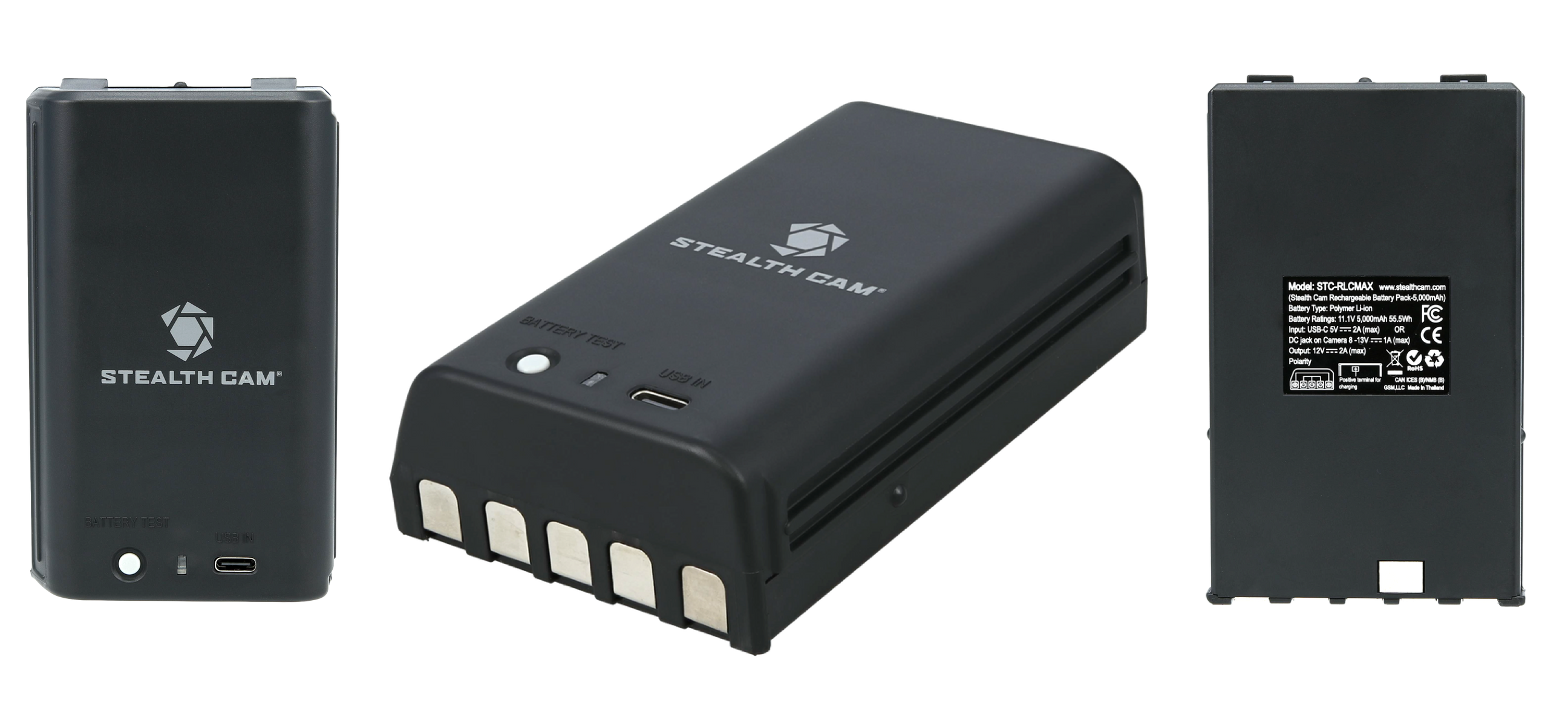
The Best Rechargeable Lithium Battery for Cellular Trail Cameras

The Best Rechargeable Lithium Battery for Cellular Trail Cameras

The Best Places For 360 Cell Cameras

The Best Places for 360 Cell Cameras

Cell Cam Stories

9 Sheds, 4 Years of Photos, and a Buck Named “Carlos” [Cell Cam Stories]

The Story and Evolution Of Muddy Outdoors

The Story and Evolution of Muddy Outdoors with Sheldon Lovelace

The Zombie Turkey Hunters

The Zombie Turkey Hunters [HuntStand Podcast]

BACK TO FIELD NOTES
field-left-arrow
top-ads-pattern
field-right-arrow
makeyourmark

MAKE YOUR MARK


HuntStand is the #1 hunting and land management app in the country. It combines advanced mapping tools with powerful map layers to allow users to create and share the best hunting maps possible.

Ultimate