



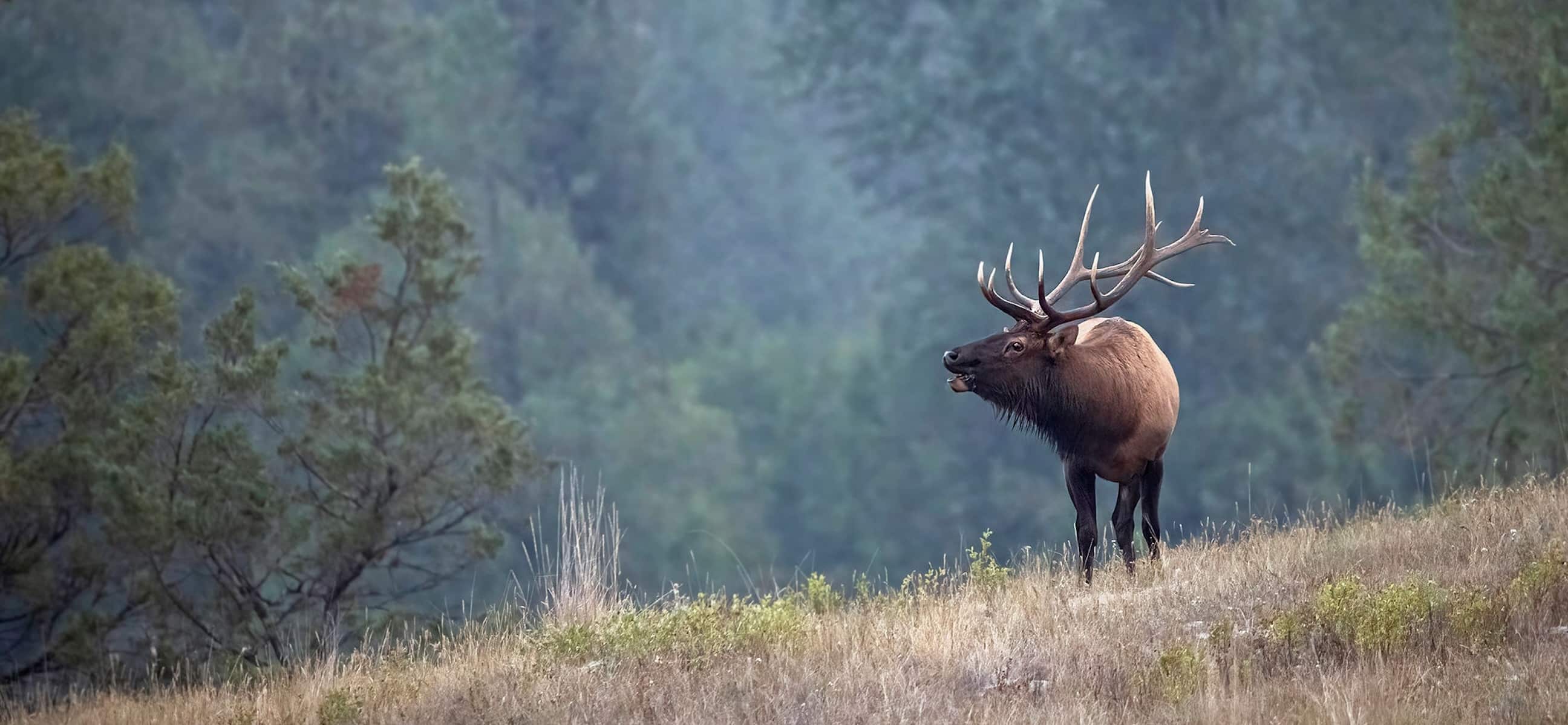
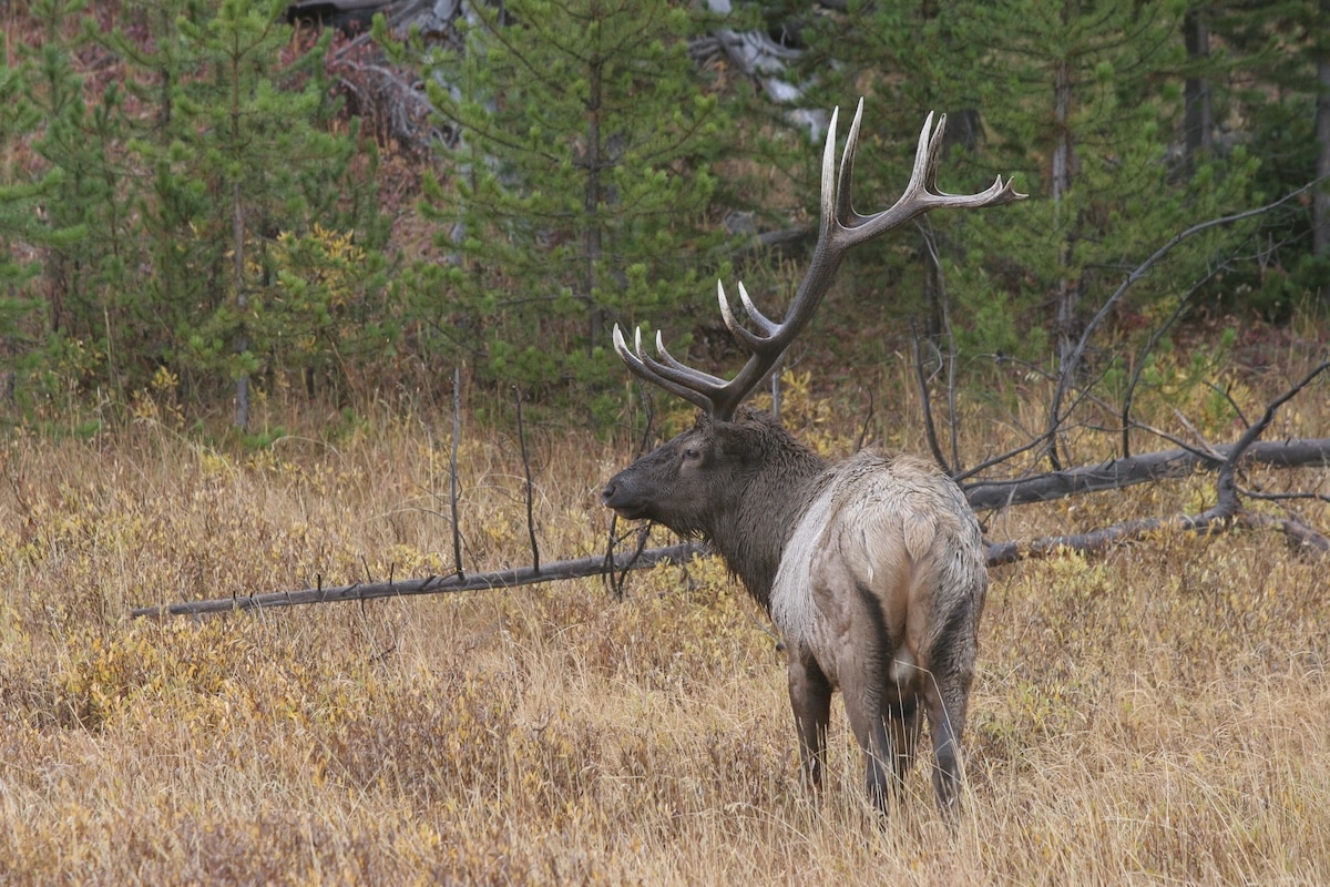

Work hard, scout efficiently, make the right moves, and you can find a big bull elk.
One behavioral aspect of elk you need to understand is that they do not operate like whitetails. They march to the beat of a different drum. Elk do find comfort zones not unlike a whitetail’s instinctive nature to live in a defined territory oftentimes a square mile in size. Nevertheless, they have no aversion to leaving it all behind in the blink of an eye. Seasonal changes, severe weather, hunting pressure and the discovery of a refuge oasis with locked gates all trigger this get-up-and-go attitude.
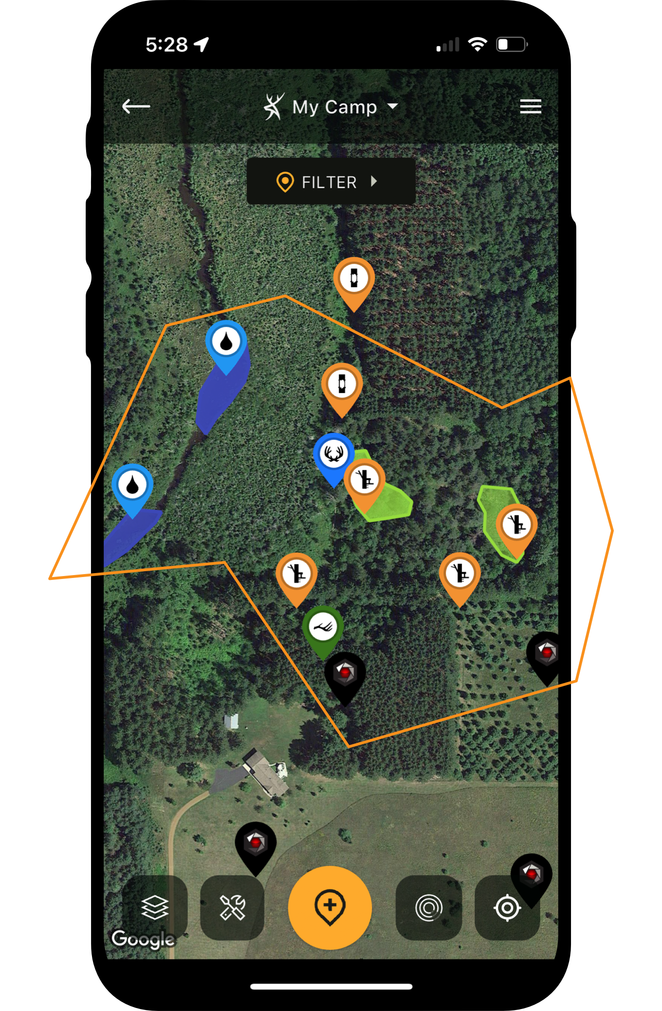
But you do have one ace up your sleeve: terrain. Geographic and dramatic shifts in habitat offer clues to increasing the odds of encountering these wanderers of the wilderness. A quality hunting app, like HuntStand Ultimate, gives you the tools to discover terrain and habitat elements that elk prefer and utilize during transit in or out of an area. Seek out the easy stuff first. It can help find terrain features that nomadic elk use.
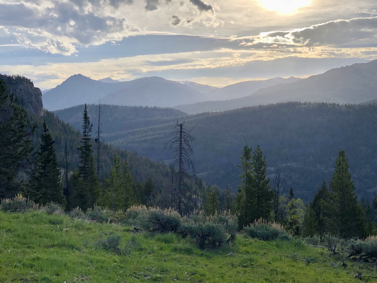
It takes a good app to tackle wild places like this.
Hunting Food and Water Sources for Elk
Elk are big critters, and if you ever get one on the ground, you quickly discover that extracting one might require phone-a-friend help. Mature bulls weigh more than 700 pounds and cows easily tip the scales at 500 pounds. As large ungulates, they require a staple diet of food and ample water.
First, understand that elk graze. They do not browse like whitetails. Think back to your last drive through the countryside and seeing a herd of cattle grazing in a pasture. That’s how elk operate. Open your HuntStand Ultimate app and start out easy. Use the Hybrid base layer. Zoom in on your targeted hunting area and begin a virtual flyover noting all openings, large or small, that could provide grazing for elk.
The reason to note large and small openings becomes clearer with hunting experience. With more than three decades of elk hunting behind me, I’ve discovered that opening-day elk might still visit expansive valleys for grass, but after waves of hunters enter the equation, elk, early or in the late season, quickly adapt and find isolated, small meadows for grazing. And do not be surprised if they still visit large parklands but feed in a nocturnal fashion. Regardless, find all available grazing areas as it takes up to 20 pounds of vegetation per day per animal to keep them fat and sassy.
Before closing out this chapter, switch to the Monthly Satellite base layer and check to see what the previous month’s images portray. In today’s wildfire world, you must constantly monitor if your elk hunting area has gone up in smoke.
The second easy element to seek out is water. Again, as one of the largest ungulates in North America, elk rarely have the benefit of acquiring hydration needs from lush vegetation. They need to gulp up gallons of water, and a herd gulps a lot, particularly during the athletic madness of the rut.
Note: even a small spring with a mountainside trickle can fulfill the needs of a dozen animals. Like grazing areas, note all water sources, large or small, in your hunt area. From lakes to named springs, mark locations, visit with land managers regarding drought conditions, and seek out those farthest from trail access.
The Natural Atlas base layer illustrates named water sources and using the Water Source overlay, you can put into play any number of your favorite base layers to pinpoint elk water sources. I generally start with the Hybrid base layer and then swipe through others depending on my need for topographical or detailed terrain analysis. A solid water source removed from easy access could be just the location for a treestand or ground blind ambush during the elk rut. Check game laws to ensure you can hunt near water sources and monitor those with trail cameras.
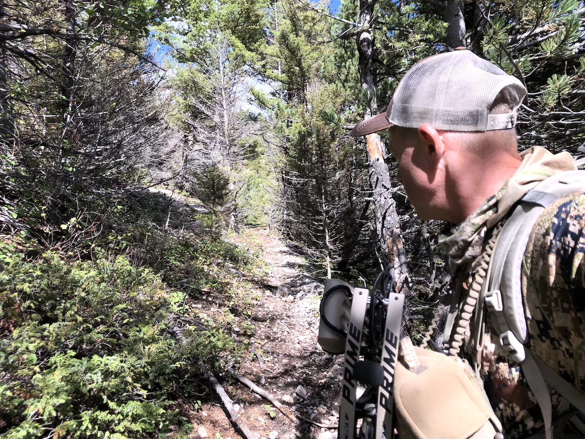
Public-land elk hunting can be draining, especially when covering ground looking for elk in the backcountry.
Hunting Funnels and Pinch-Points for Elk
As students of the mountain, elk understand all the easy routes in and out of rough country. And do not be fooled. Elk have no aversion to ascending 2,000 feet daily after feeding on lush valley floors to retire in high-rise, dark timber locations. They also do not think twice about walking two miles or more in the process, one way. These extensive jaunts require them to use country in an efficient manner. Mountain passes provide this efficiency.
Some refer to these passes as saddles, gaps or even a mountain notch. However you describe these, saddles are low spots in mountains that give elk doorways into the opposite mountainside without climbing to the top. Some are under the canopy of timber while others stand out in the open. To find them, you have many options on your HuntStand Ultimate app.
On the base layer lineup of features, you can utilize Quad Topo, Terrain, or Outdoor. The Lidar base layer gives you a 3D look at the location you are reviewing. Any, like Lidar, can be accentuated with the Contour overlay to show a true saddle on a mountain. V-shaped contour lines pointing to each other on the opposite side of a mountain and then meeting in a small area with no contour lines marks the location of a saddle. Mark it and keep looking for more.
The gullies, canyons, chasms and coulees that route to saddles typically receive the most elk travel, either on the bottom or trails that parallel the sides. Check for fresh elk tracks in the dirt trails along with the sight of fresh droppings. Sniff the wind as well as elk leave a distinctive odor while using an area.
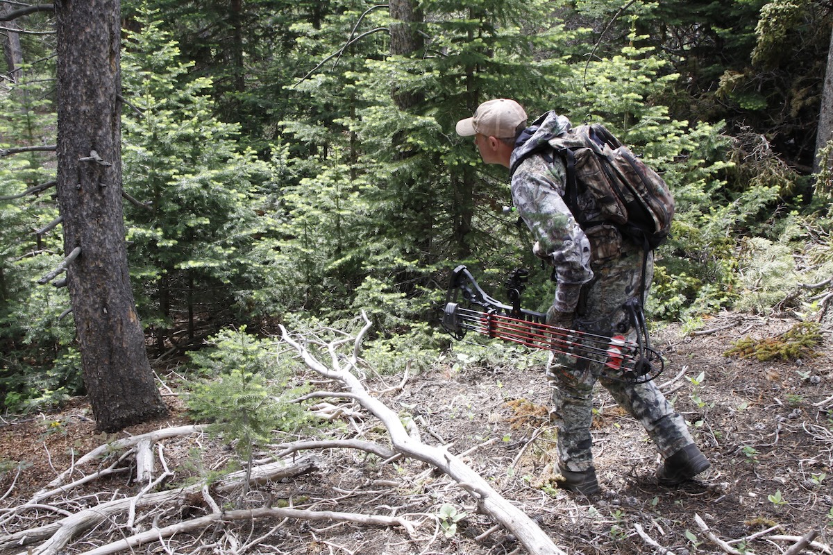
Kayser following an elk trail straight up into steep country elk use as refuge.
Hunting Elk Bedding Areas
Why find an elk bedroom? Elk bedding sites provide you with a location to begin hunting in the afternoon as elk exit a bedding site or as a place to wait in the mornings for elk to arrive. You can also still-hunt into a bedding area during midday, especially during the rut, to possibly sneak up on an anxious bull wandering around and waiting for the action to kick off again.
Elk might bed anywhere but habitually they see out canopy cover and prefer to bed in elevated locations. Think of high mesas, ridges or mountainsides with pines or even dog-hair stands of timber as thermal and cloaked cover from you.
In my experience, north-facing slopes are hard to beat. They generally have the thickest timber and face away from the beatdown of the sun that can overheat elk bodies from September through the end of the season.
I’ve seen elk bed on near-vertical slopes by kicking rocks out of stump holes from fallen trees but generally they search for benches. These small, level areas cannot be seen on your Hybrid, Satellite or even 3D Mapbox Satellite base layer without topographical help. Like looking for saddles, Quad Topo, Terrain or Outdoor or the Contour overlay, give you a glimpse of what is occurring below the canopy. Topographical lines that are close together and suddenly widen out indicate possible benches. Large areas of no topographical lines definitely suggest a bench area elk might visit. Those that are adjacent to your earlier marks indicating quality forage and water, plus those connecting to saddle travel routes, should receive your highest scouting attention.
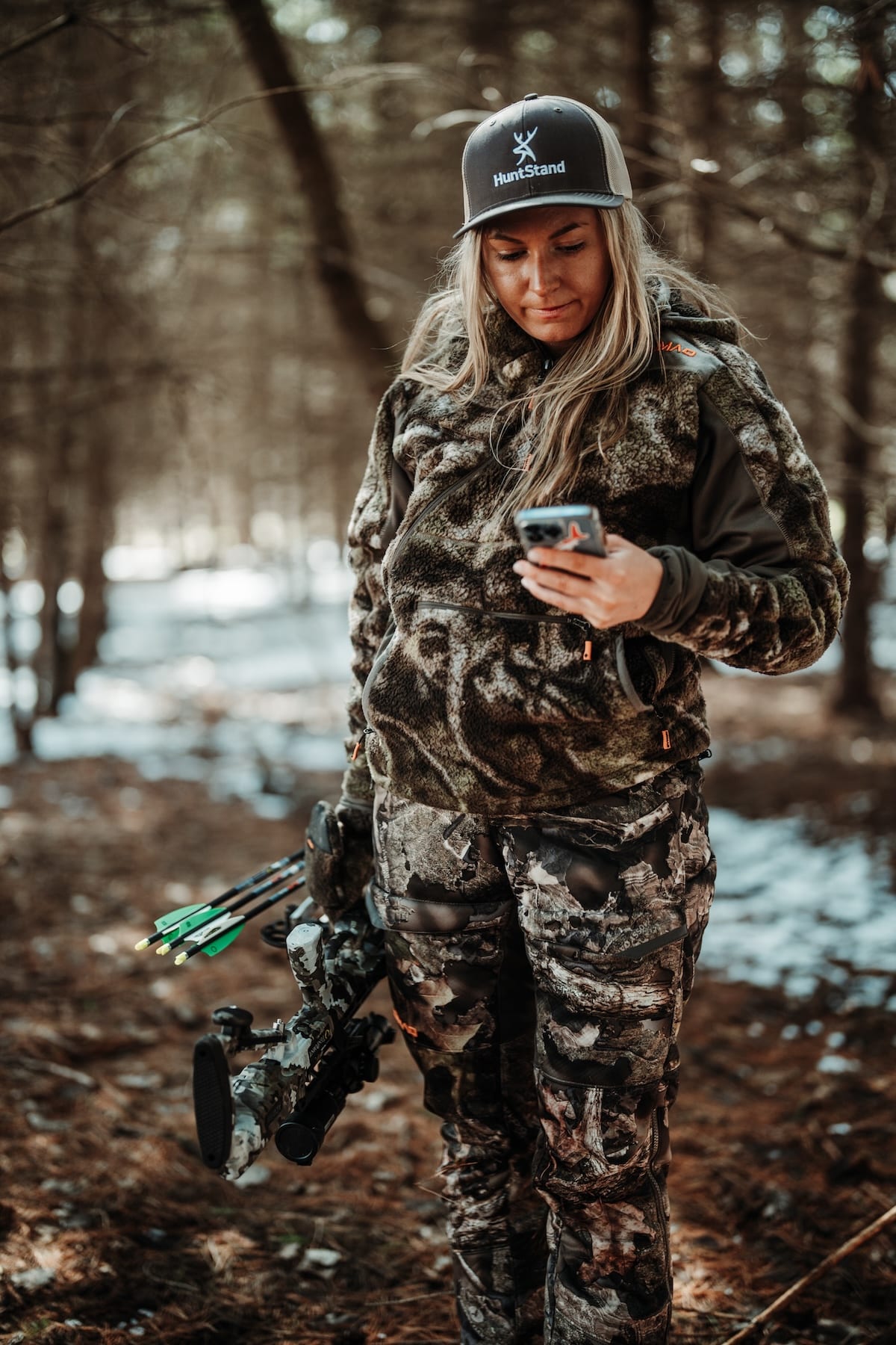
The backcountry is no place to have bow issues, but be prepared with the right tools.
Hunting Elk in Foothills and Lowlands
This next study in terrain focuses on the foothills and includes two major components. First, locating foothills and all grassy lowlands surrounding mountainside escapes zeros you in on feeding areas elk might utilize. These environments generally include generous amounts of grass, plus water sources such as creeks or even manmade reservoirs. If found within a mile or two of appropriate escape cover (steep north slopes), you might discover a travel pattern often nonexistent for nomadic elk.
You might even discover a goldmine of elk if the property is privately owned with limited hunting pressure. Over the course of decades and markedly in the past decade, elk have discovered that expansive ranches have been scooped up by moneyed individuals who do not own the land exclusively for making money. They simply seek a mountain retreat and welcome the herds of elk that might easily number hundreds or over 1,000 animals.
Here’s the bad news first. You likely will not be allowed to hunt ranches like this or at least without taking out a second mortgage. Here’s the good news. The West includes a checkerboard of public land, state and federal, that might give you adjacent or nearby access to these elk. I always say elk beget elk so a large population of elk attracts more elk and spending time close by could result in a meeting.
And to get you closer to elk, remember that the 10th Circuit Court of Appeals ruled that corner crossing is legal (crossing between touching corners of public land). This ruling holds true in the states of Wyoming, Colorado, and Utah, if private land is not physically touched. Review state regulations but keep this ruling in mind in at least the states of the 10th Circuit Court of Appeals.
Overlays over your favorite base layer are your savior in this search. Put in use Property Info, Hunting Lands and Public lands to direct your days afield.
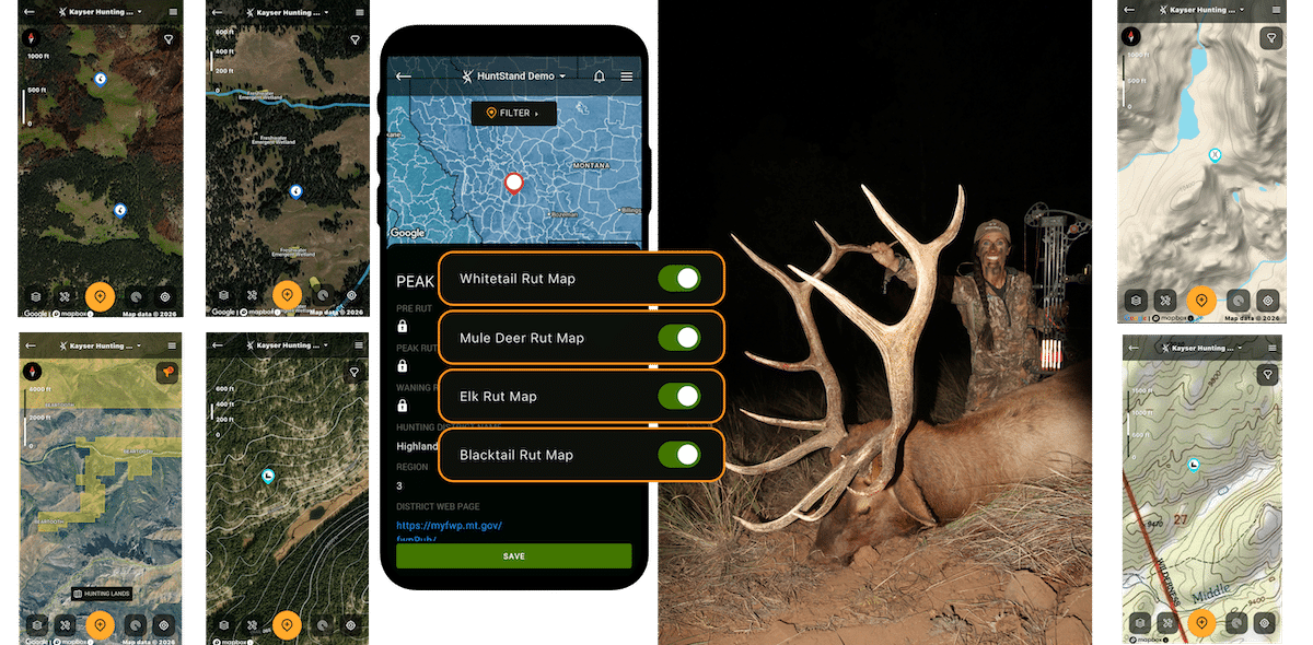
The end result is often a direct reflection of the effort and work.
Level up with HuntStand Ultimate
In closing, terrain has a prominent standing in you finding elk. As you plan your hunt, especially with boots on the ground during the hunting season, utilize the Elk Rut Map. The map itself includes researched insight into the best rutting dates, plus extra features found inside the overlay like the Elk Activity Forecast, provide a major boost to your hunting efforts.
- HuntStand Hybrid base layer map: Used to find openings for elk grazing.
- HuntStand Natural Atlas base layer: Used to locate elk watering areas.
- HuntStand Hybrid base layer and Water Features overlay: Used to locate elk watering areas.
- HuntStand Terrain base layer: Used to locate mountain saddle elk use for travel.
- HuntStand Quad Topo base layer: Used to find bench for elk bedding.
- HuntStand Hybrid base layer with Contour overlay: Used to find elk bedding benches.
- HuntStand Hybrid base layer: Used with Hunting Lands overlay to find foothills property elk might use.
Combine years of data with HuntStand’s HuntZone wind forecast that details hourly, daily, and weekly winds, including scent dispersion illustrations, and you have an affordable elk consultant in the palm of your hand.