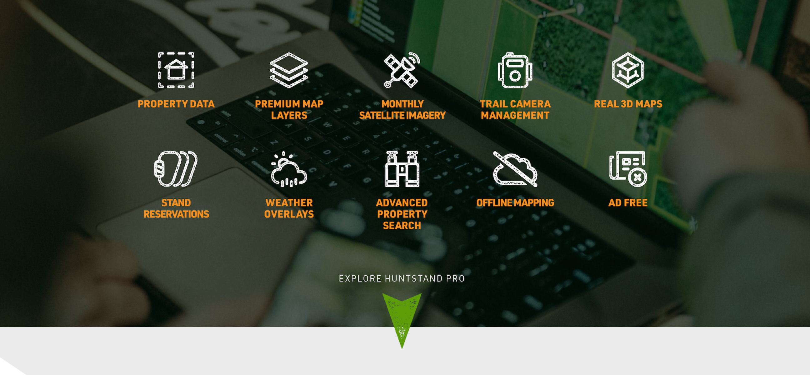


HuntStand Pro equips the hunter with highly valuable tools and assets.
One hunter has no idea where the property lines are at. Another questions the topography of a few public lands he’s interested in hunting. A third doesn’t know which stands are being hunted on the group lease. Then, there’s the guy who gets lost and all turned around on a fresh piece of public because he has no cellular service. These and more are common challenges hunters face. And virtually all of them are avoidable with the help of HuntStand Pro. Read on to learn what you get with HuntStand Pro, how affordable it is, and applicable use cases.
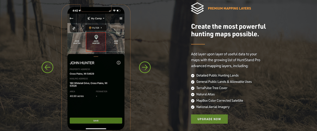
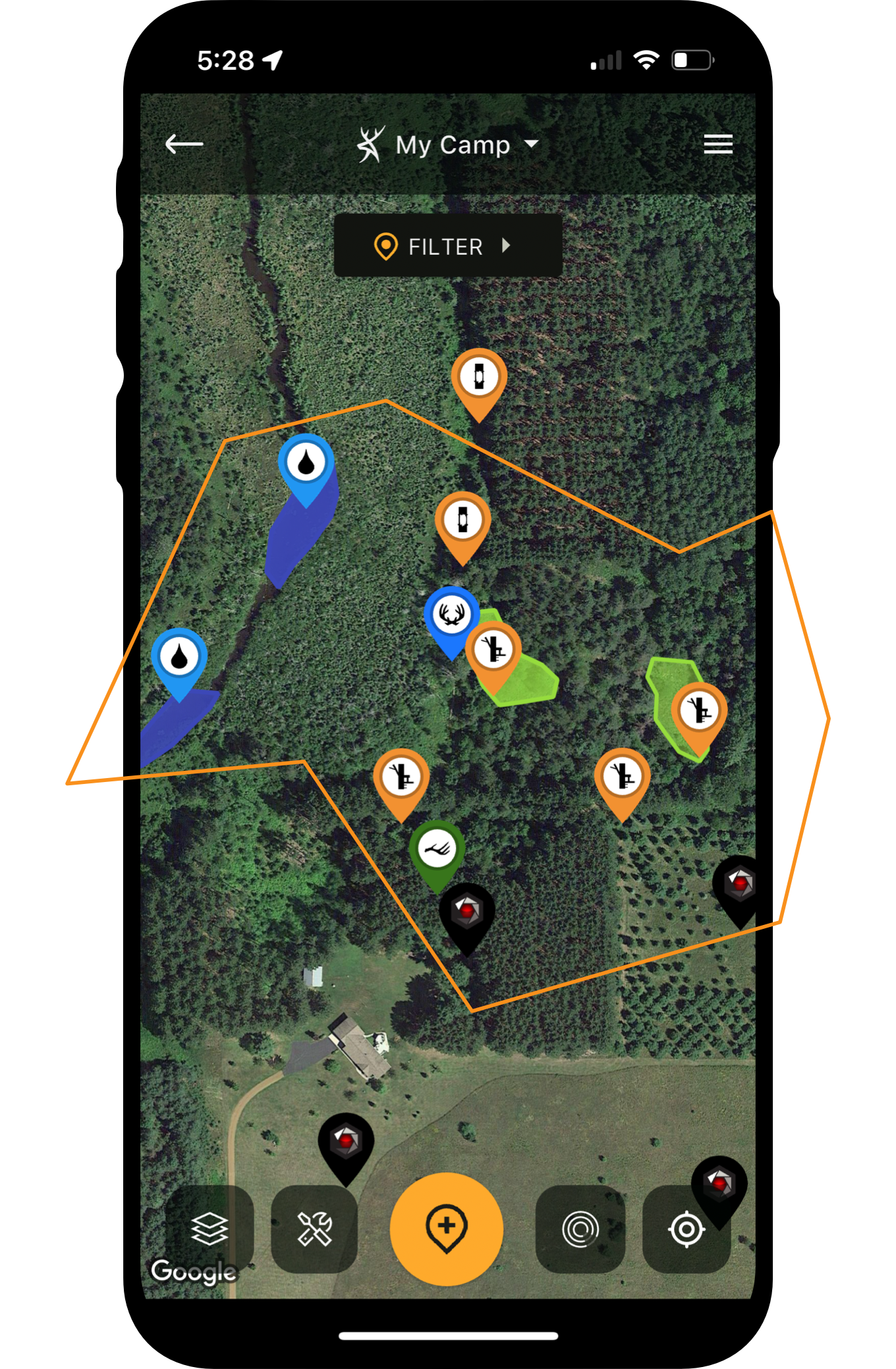
Keep track of landowners, property lines, and more, with HuntStand Pro.
Nationwide Property Ownership Information (Names, Mailing Address, Property Address)
Those needing to find properties, landowners, and other information, can do so with a HuntStand Pro subscription. This tool includes property ownership data (U.S. only), such as landowner name, property address, and mailing address. The property database facilitates searching by name, address, county, state, acreage, proximity to the user, and more. View results in a list or in the map view. Additionally, every hunter must verify property lines accurately. Thus, benefit from property boundaries overlays in the U.S. and most of Canada.
Nationwide Hunting and Public Land Maps
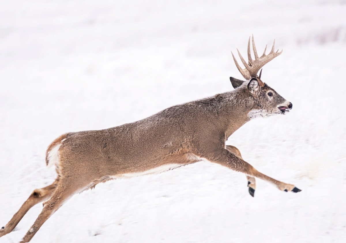
A significant percentage of deer hunters benefit from public lands. Finding public properties, and accurately assessing property boundaries, can be a challenge, though. With the Hunting Land and Public Land overlays, hunters can determine potential areas of interest. Hunters can even use these tools to pinpoint hard-to-reach public tracts that might discourage most of the competition. It’s a highly valuable tool to locate better hunting opportunities.
Analyze terrain and topography with 3D Maps.
3D Mapping Features with Great Clarity
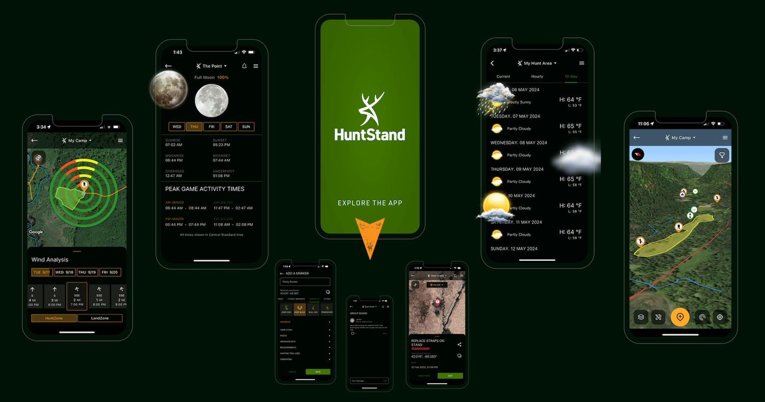
There is no better map view than high-resolution 3D. It allows hunters to effectively scout hunting land in multiple ways at once. Study habitat, terrain, and topography simultaneously. Observe ultra-realistic depictions of any Hunt Area, and study hunting properties from every angle, direction, and elevation. It’s the premier way to e-scout areas of interest when habitat and topography are the primary factors.
High-Definition National Aerial Imagery and Other Layers
Hunters benefit from high-resolution imagery of the places they hunt. With HuntStand Pro, that’s the National Aerial Imagery base layer. It offers a very detailed look at land. This tool is available for U.S. properties only and does not apply to Canadian provinces.
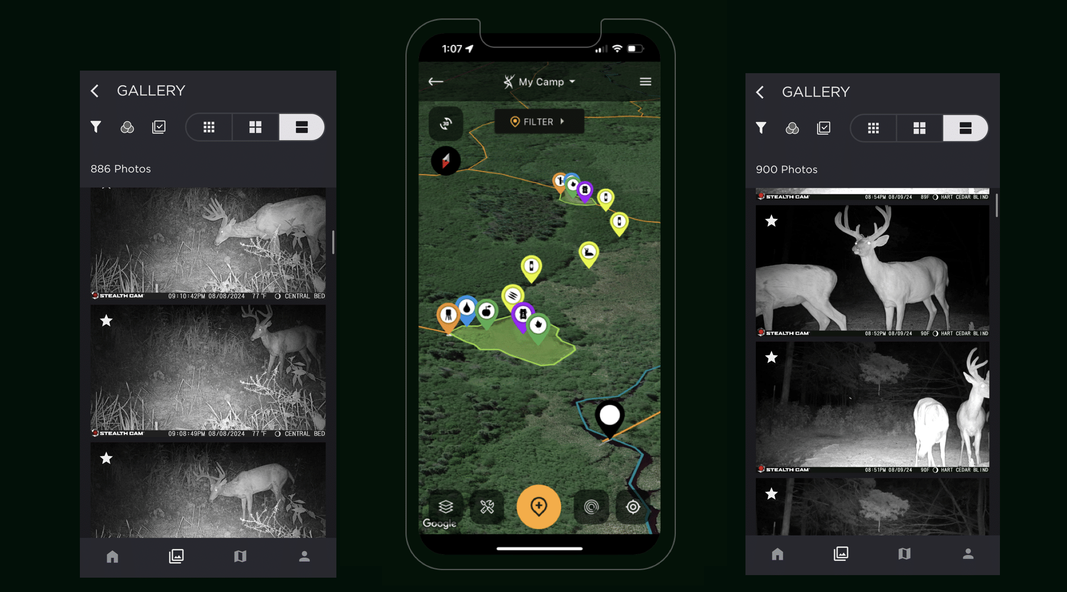
Merge the Command and HuntStand apps for the utmost in trail camera management.
Recently Updated Monthly Satellite Imagery
Most satellite imagery options are not regularly updated. Typically, the better the resolution, the less often it’s updated. To offset this inconvenience, HuntStand offers the Monthly Satellite Imagery option. The Monthly Satellite Imagery asset is perfect for viewing agricultural activity, controlled burns, flooding, snow and ice cover, timber clear-cuts, timber thinning, wildfires, and more. Check these things of interest that can’t be monitored with any other option.
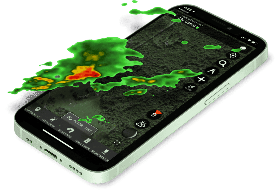
Trail Camera Management and Cloud Storage
HuntStand offers trail camera management with numerous tools and capabilities. It comes with 40GB of storage for photos, which maintains and protects important scouting intel. Photos sync automatically with weather and solunar information for the best possible intel. Of course, the new AI Species tool analyzes and tags game by animal type. On desktop, it even generates a heat map that shows your trail camera activity by location. Connecting the HuntStand and Command app accounts (compatible with Muddy and Stealth Cam) allows users to house important trail camera images and pin them to the GPS location of each cell cam deployment.
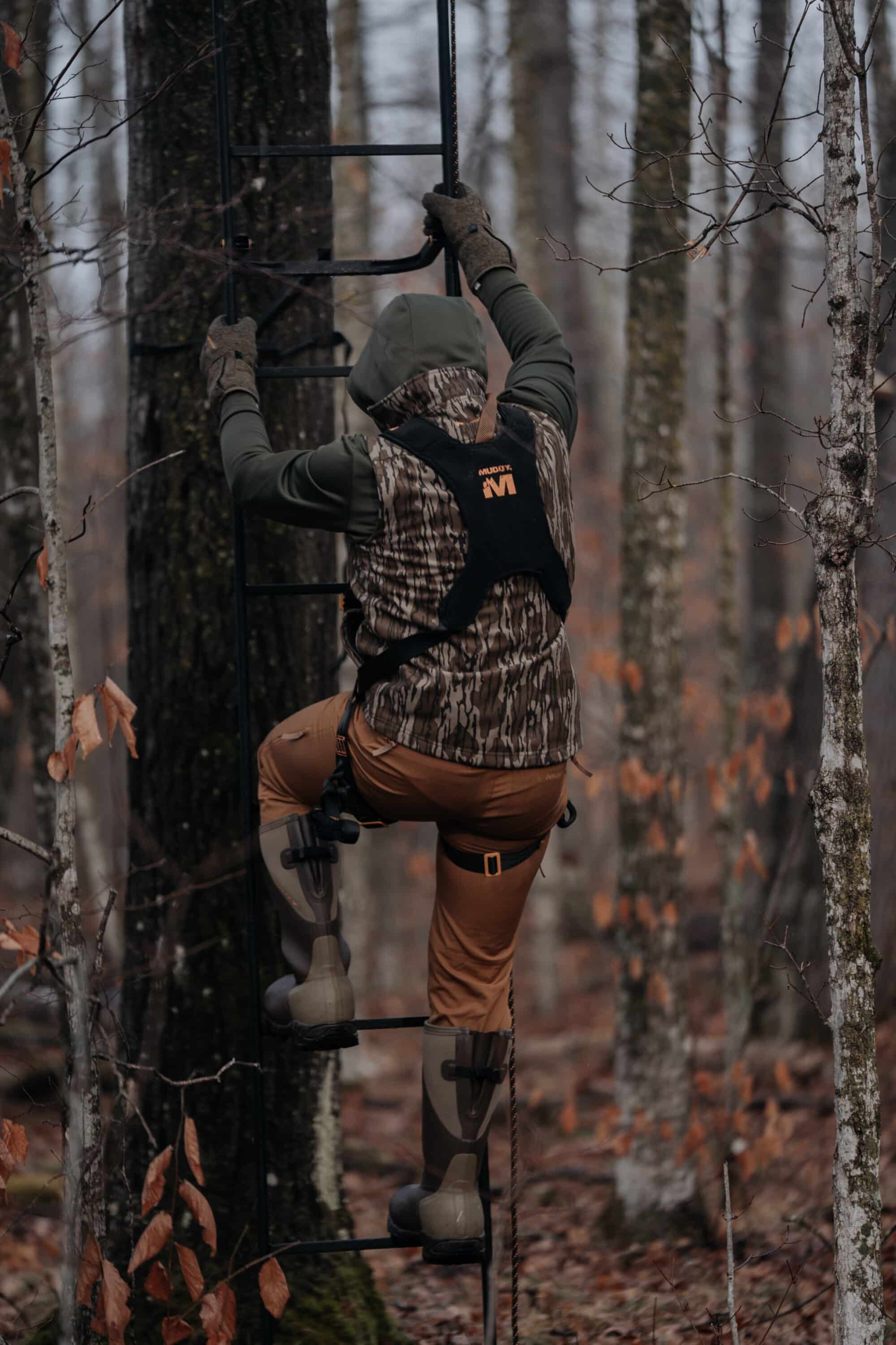
Reserve stand locations, and see where everyone is going, with the Stand Reservations feature.
Stand Reservation for Shared Hunting Properties
The stand reservation feature is excellent for selecting hunting spots in a fair and organized manner. Use it to efficiently streamline stand selection management with hunt clubs, multi-member leases, or even shared family properties. This tool allows hunters to reserve stand locations for specific time slots, view upcoming reservations for all stands in the Hunt Area, search for available stands and blinds by date and time, and see what stands are currently occupied (and by whom). It’s even applicable for groups of hunters who hunt public. (Of course, the reservation only works for your group and does not guarantee other hunters won’t be there.)
Offline App Usage Without Cellular Service
Most hunters have spent time on properties with minimal to no cellular service. With HuntStand’s Offline Mapping feature, it’s possible to continue using the app even when viable connection fades. Use it to continue checking distances from property lines, managing map markers, using various base layers (and overlays), and more. With a good internet connection, save Offline Map versions for each Hunt Area to ensure reliable, uninterrupted coverage of hunting properties.
Use weather overlays with your preferred base layer maps.
Watch Detailed Weather Overlay Maps
With HuntStand Pro, subscribers gain access to detailed weather overlays, which show current and forecasted conditions. Weather overlays can be used over most base layers and turn on/off with a simple toggle. The weather tool keeps track of radar, precipitation, snow accumulation, temperatures, fires, and drought monitor. Prioritize safety and hunt planning with this tool.
Benefit from up to 20% off some of your favorite hunting brands.
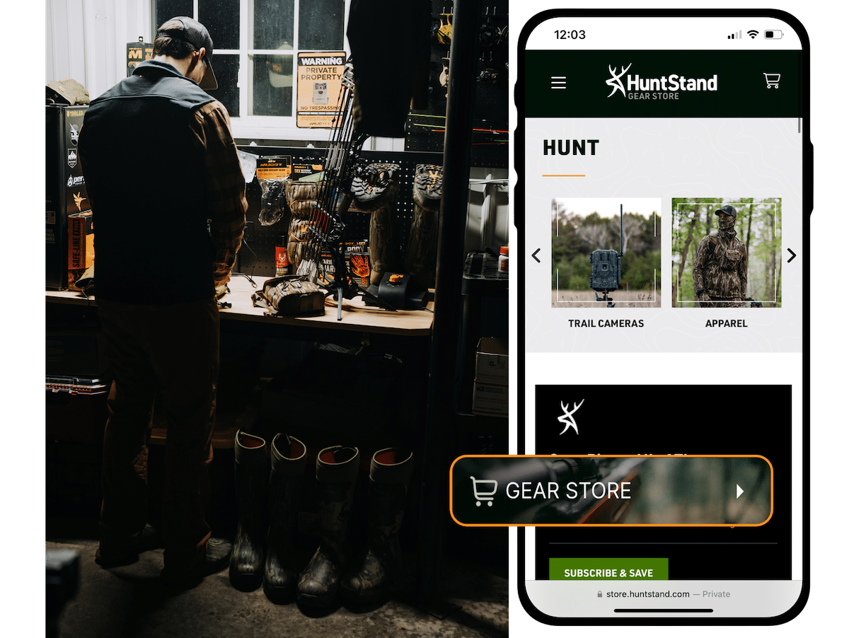
Deep 10%-20% Discounts on Gear in the HuntStand Store
The all-new HuntStand Store gives access to incredible brands offering great gear, such as treestands, grounds blinds, hunting apparel, trail cameras, and more. Shop with popular brands, such as Stealth Cam, Muddy, Wildgame Innovations, Cold Steel, SOG, Walker’s, Hawk, Avian-X, and many others. With HuntStand Pro, enjoy up to 20% off key items. (With HuntStand Ultimate, obtain up to 50% off on select items.)
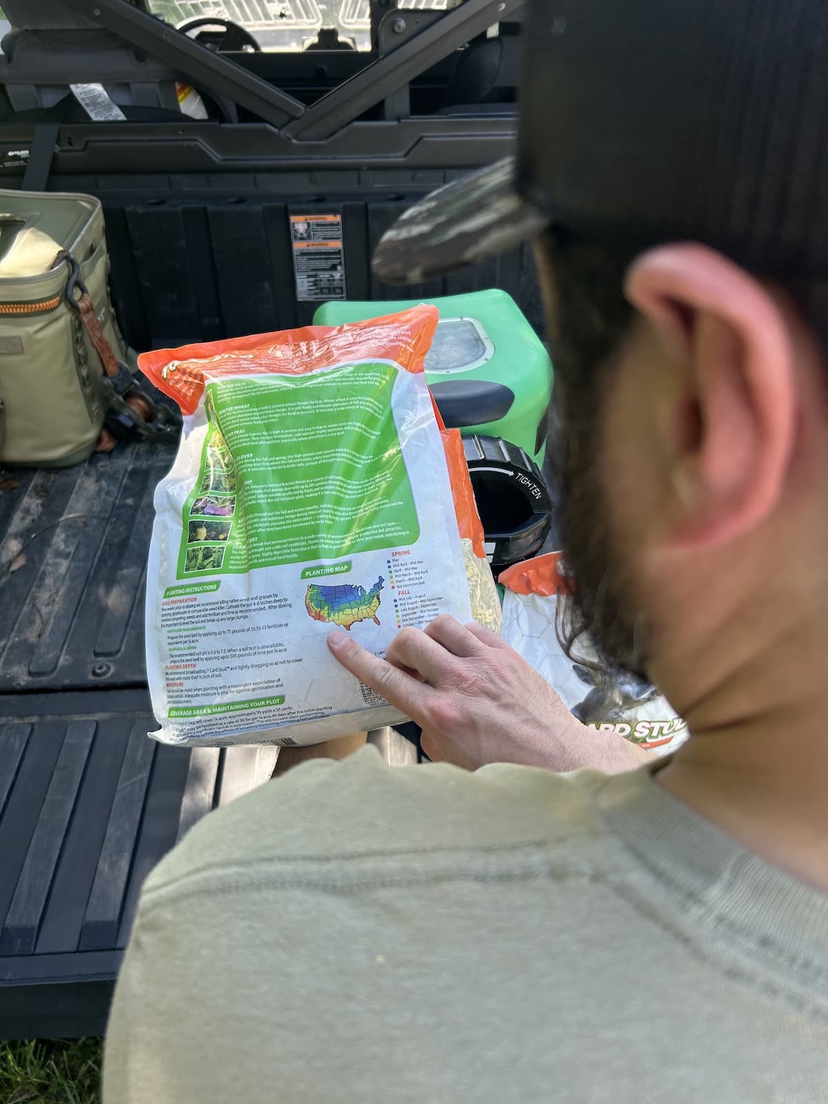
Use HuntStand Pro's many tools, such as measuring food plot acreage.
Additional Benefits to Using the HuntStand App
The primary tools outlined above offer a lengthy list of applications and case uses. These tools can be used in a variety of ways to assist with important land management tasks, scouting objectives, and hunting efforts. The hunting applications are many in number, as the following are but a few zoomed-out examples. Drill down, and these tools can be used for a variety of macro (generalized) and micro (focused) projects.
- Measure for food plots
- Gauge important distances
- Study habitat type
- Study topography
- Plan your hunts
- Keep track of to-do lists
- Maintain important notes
- Keep record of harvests
- And much more
What Does HuntStand Pro Cost?
The base paid subscription is HuntStand Pro. Paid annually, it’s priced at an easily affordable $34.99 per year, which breaks down to $2.92 per month. For the price of a couple’s fast food dinner, hunters gain access to an array of underpriced tools for the hunt. Find incredible uses for deer hunting, turkey hunting, predator pursuits, waterfowling outings, and much more. Even non-hunters benefit from the landowner data overlay. With no ads in place, it’s an even better deal.
HuntStand Pro has the capacity to bring more joy into your hunting life.
Subscribe to HuntStand Pro
Every hunter who spends at least a few days scouting, hunting, and otherwise enjoying the outdoors, should consider subscribing to HuntStand Pro. You get all of the above, and more. It’s a highly effective tool that’s priced significantly below it’s true value. Simply, HuntStand Pro is the one thing hunters can’t afford to go without.
Those who want even more from HuntStand can upgrade to HuntStand Ultimate. This unrestricted subscription level provides everything available to HuntStand Pro users and a lot more. Enjoy the full suite of available mapping tools. Additionally, benefit from the 15-Day Game Activity Forecasts (whitetail, elk, mule deer, and blacktail), exclusive Rut Maps (whitetail, elk, mule deer, and blacktail), and Whitetail Habitat Map (U.S. only). Additionally, gain access to higher resolution versions of the Monthly Satellite Imagery and 3D Mapping tools. The Ultimate subscription level pushes discounts up to 50% off for select products. Get HuntStand Ultimate for $99.99 per year ($8.83 per month billed annually).