
content-post-bg

Natural Atlas Map Layer | Accessing The Outdoors With HuntStand & Yamaha

by HuntStand

MORE FROM HuntStand

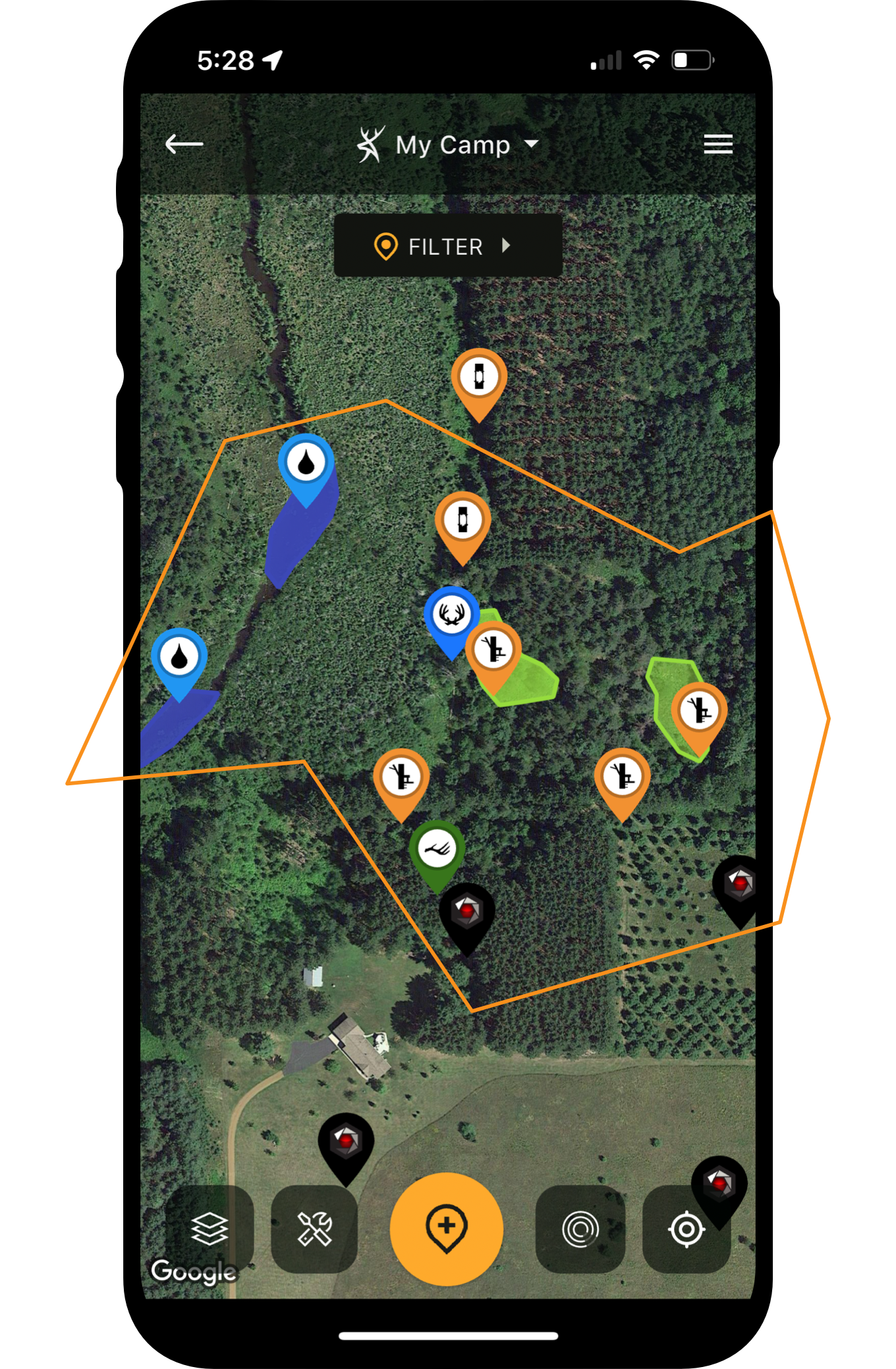
Thanks to Yamaha, hunters and all outdoor recreationalists can tap into the Natural Atlas map layer in the HuntStand app. Natural Atlas reveals trails, ATV and side-by-side roads, campgrounds, parks and other natural points of interest to help you make the most of outdoor access opportunities.


You Might Also Enjoy...

BACK TO FIELD NOTES
New Stealth Cam Technology for 2026

New Stealth Cam Technology for 2026 [Geared for the Hunt]

The Best Rechargeable Lithium Battery for Cellular Trail Cameras

The Best Rechargeable Lithium Battery for Cellular Trail Cameras

The Best Places For 360 Cell Cameras

The Best Places for 360 Cell Cameras

Cell Cam Stories

9 Sheds, 4 Years of Photos, and a Buck Named “Carlos” [Cell Cam Stories]

The Story and Evolution Of Muddy Outdoors

The Story and Evolution of Muddy Outdoors with Sheldon Lovelace

The Zombie Turkey Hunters

The Zombie Turkey Hunters [HuntStand Podcast]

BACK TO FIELD NOTES
field-left-arrow
top-ads-pattern
field-right-arrow
makeyourmark

MAKE YOUR MARK


HuntStand is the #1 hunting and land management app in the country. It combines advanced mapping tools with powerful map layers to allow users to create and share the best hunting maps possible.

Ultimate