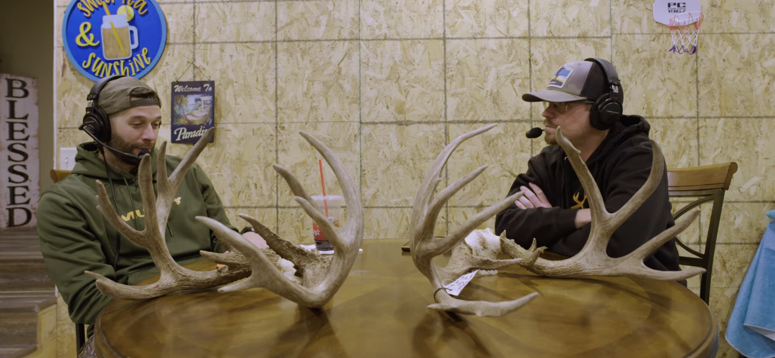




Brian Murphy and Jim Heffelfinger are the minds behind HuntStand’s new Western Species Activity Forecast and Rut Maps. Built from decades of Western big game knowledge and real biological data, these tools were created to give hunters a clearer picture of what’s happening in the mountains.
After helping bring those tools to life, Brian and Jim headed into the high country of Colorado to do what they’ve always done — chase mule deer in big, unforgiving country. What follows is a week of long glassing sessions, hard-earned stalks, and the kind of moments that only happen when two lifelong Western hunters put their work to the test.
This film isn’t about how-to steps. It’s about the people, the process, and the pursuit behind the next evolution of Western hunting.
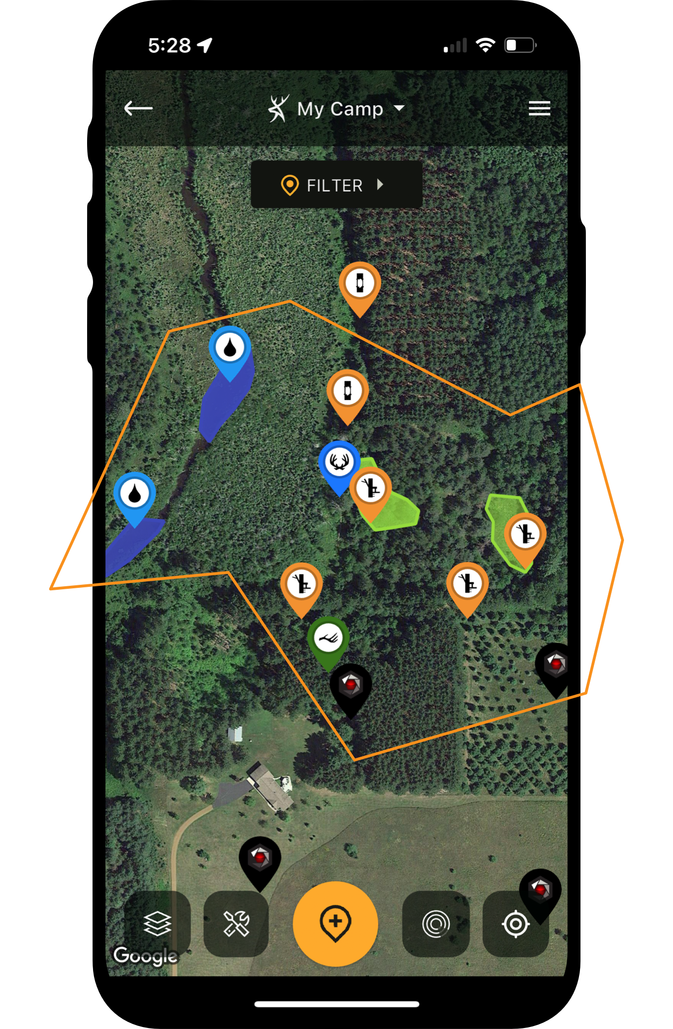
Check out HuntStand’s breakthrough mapping tools for western big game hunters. Explore HuntStand Ultimate and the Western upgrades.