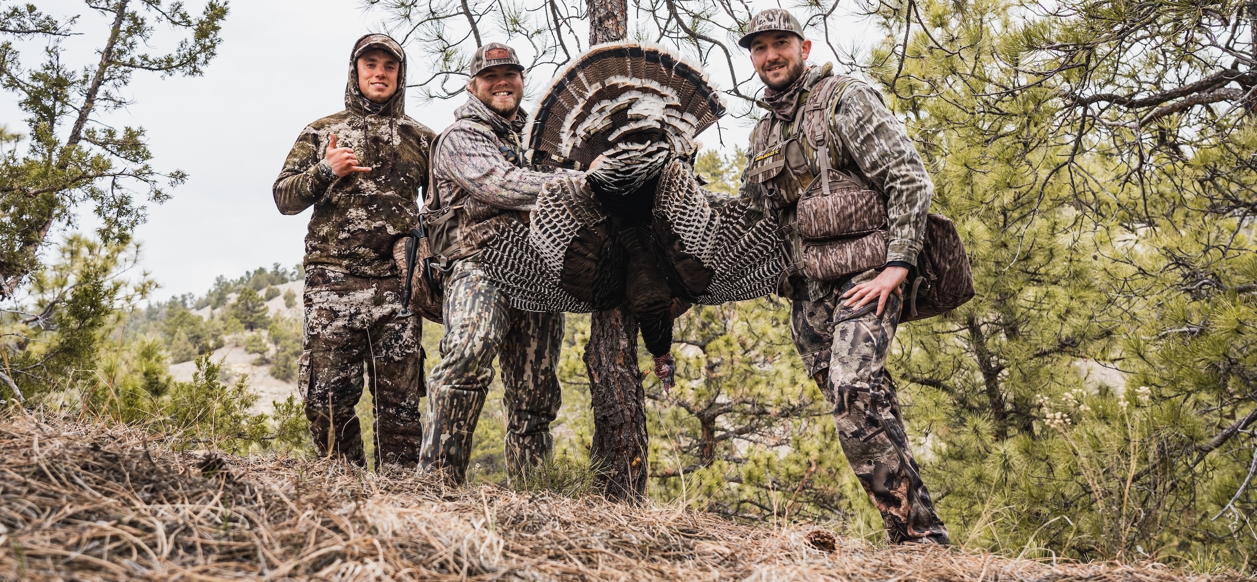




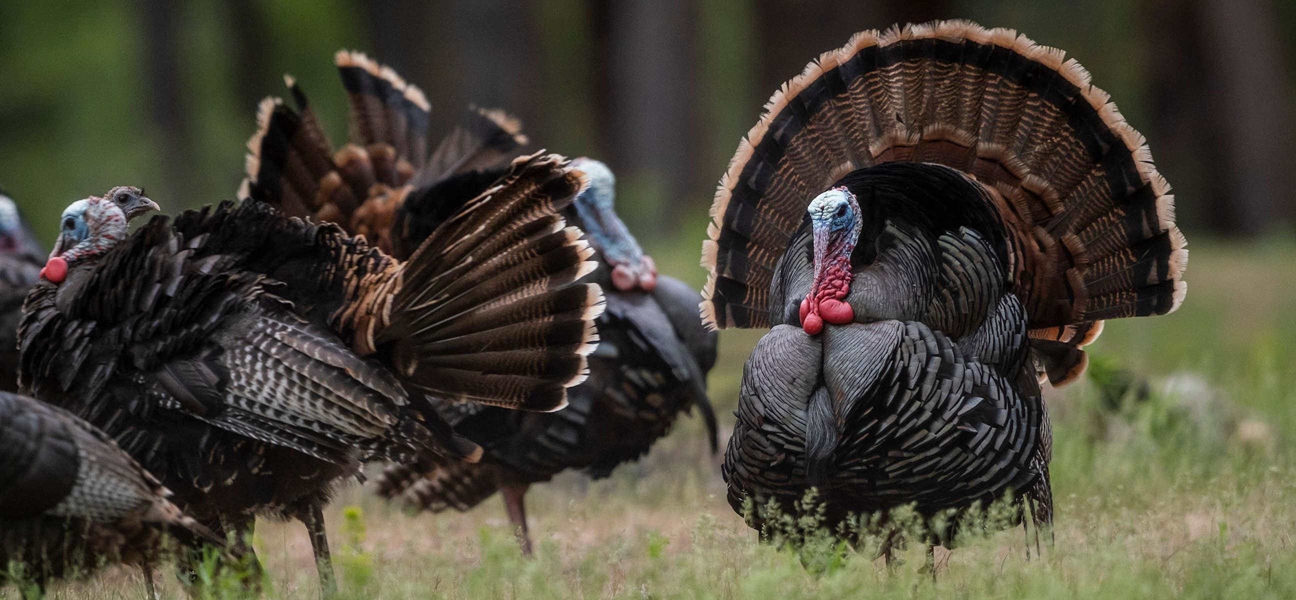

Gobblers are sounding off from roost limbs nationwide. Longbeards are strutting their stuff up and down field edges and logging roads from coast to coast. And, once again, turkey hunters are loading up their hunting gear to chase spring thunder. This year, don’t head out without the one tool that fits in your pocket, but will be in your hand throughout much of the hunt.
Priced at $29.99, here’s a one-to-one reason for every dollar you spend on a HuntStand Pro subscription. It packs a mean punch for its weight class. Don’t miss this quick look at 30 reasons HuntStand Pro makes you a better turkey hunter.
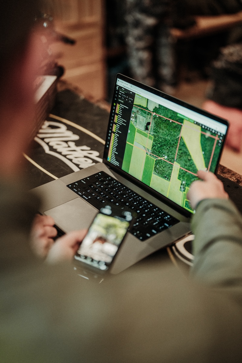

Use HuntStand to plan your turkey hunts before they even begin.
1. Pre-scouting with HuntStand helps reduce scouting pressure on your hunting properties.
Flying around hunting land, or potential hunting land, via HuntStand doesn’t apply pressure to turkeys. Rather, it allows turkey hunters to scout their ground from the chair, couch, car, desk, or wherever.
2. Knowing when you can hunt!
Turkey hunting often means waking up in the dark and hunting until dark. Days are long, sleep is a gift, and knowing when to set your alarms to start and end your days is extremely important to remain legal and successful. HuntStand’s sunrise/sunset times keep you on time.
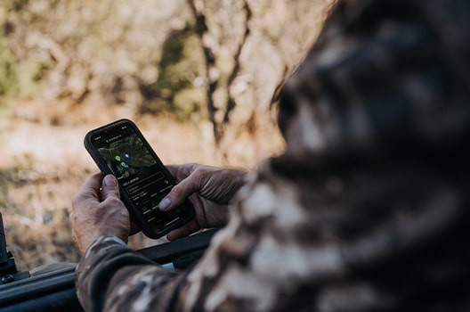
Use dedicated map layers to study terrain-based land features.
3. Pouring over map layers to identify important terrain features.
Many turkey hunting hotspots are topography-based. Identifying terrain attributes such as benches, flats, hills, hollows, ridges, points, valleys, etc., can be turkey gold. Key HuntStand layers, such as Contour, Quad Topo, Terrain, and 3D, offer this scouting ability.
4. Finding promising public lands.
Scouring pages of state websites is over. Now, merely use one of two HuntStand layers to find potential public lands in the area you’re interested in hunting. The Hunting Lands and Public Lands layers are a public-land turkey hunter’s best friends.
A good private tract with a promising turkey population is a gem. Hold onto it.
5. Accessing primo private properties.
Gaining access to private land is more difficult, but HuntStand is a big help for this. Use the Property Info tool to find landowner information to knock on doors or send out letters in regard to hunting land access.
6. Locating potential food sources.
Turkeys eat a vast number of plant and insect species. HuntStand can’t find all of these. However, it can identify areas that might harbor viable food sources. Do your homework and use map layers to connect the dots and locate these likely hotspots. Consider south-facing slopes for early spring hunts, where fresh greens and bugs are likely to emerge.
Best Times to Hunt Spring Turkeys, and More Turkey Hunting Wisdom
Water is important to turkeys. Find good creeks, streams, rivers, lakes, and other viable waterways.
7. Pinpointing viable waterways.
Turkeys get much of their water intake from dew and foods eaten. However, they do occasionally visit water sources, especially during dry and drought periods. More arid regions, locations with fewer water sources, and areas with lower water tables, see increased water source visitation.
8. Identifying likely roosting areas.
Turkeys usually sleep in trees. HuntStand helps turkey hunters to locate potential roost trees, such as mature hardwoods or pines. To quickly identify forested areas, use the Tree Cover map layer. Zoom in tight with app layers that show fall- or winter-based aerials, and it’s sometimes possible to see large, horizontal limbs that might serve as ideal roosts.
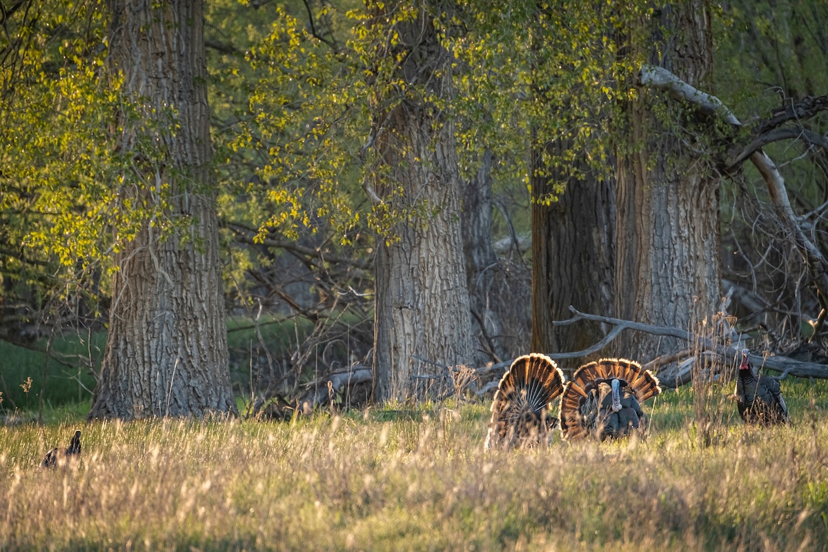
Locating good fly-up and fly-down zones is key to killing turkeys the first and last few minutes of the day.
9. Foreshadowing possible landing zones.
Those who already know where birds roost might still wonder where those turkeys will fly up from or down to. Using HuntStand, zooming around known roost sites can reveal possible landing zones for the first and last few minutes of the day’s hunt. Turkeys often like to stage around a roost in more open cover.
10. Sifting through areas to find open (mature) timber or fields where turkeys will likely feel comfortable.
Wild turkeys like areas that offer visibility. Eyesight is their superpower, and they prefer places that maximize that ability. Oftentimes, this is in open timber and fields. This hunting app helps find such geographic locations.
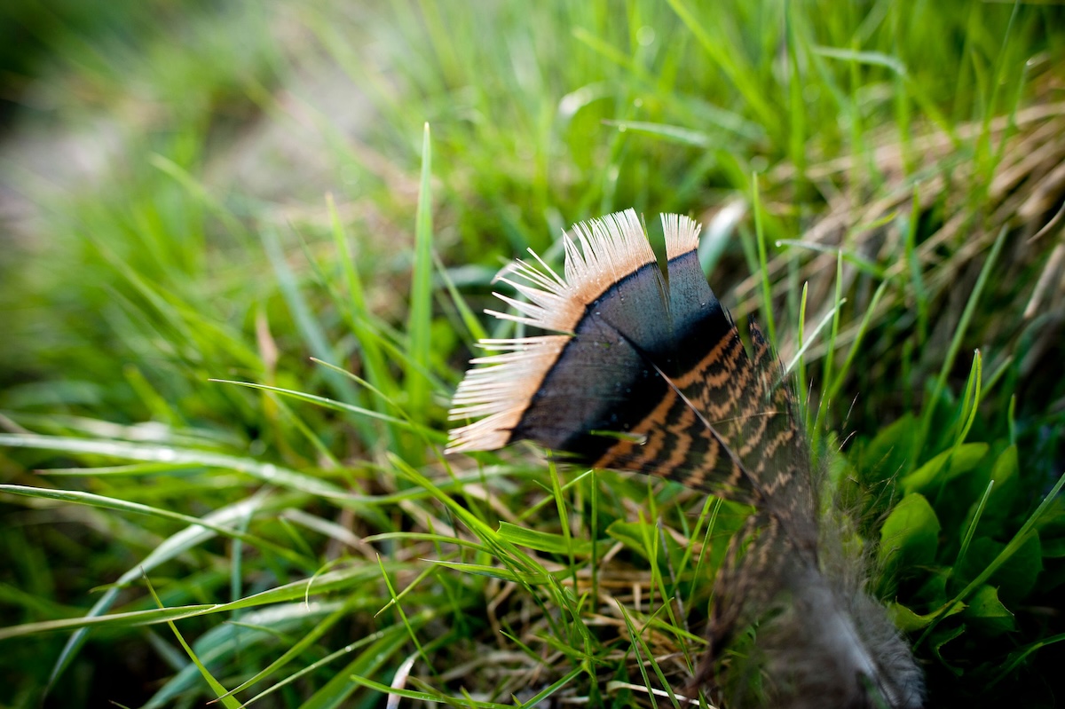
Mark turkey sign with dedicated pin drops.
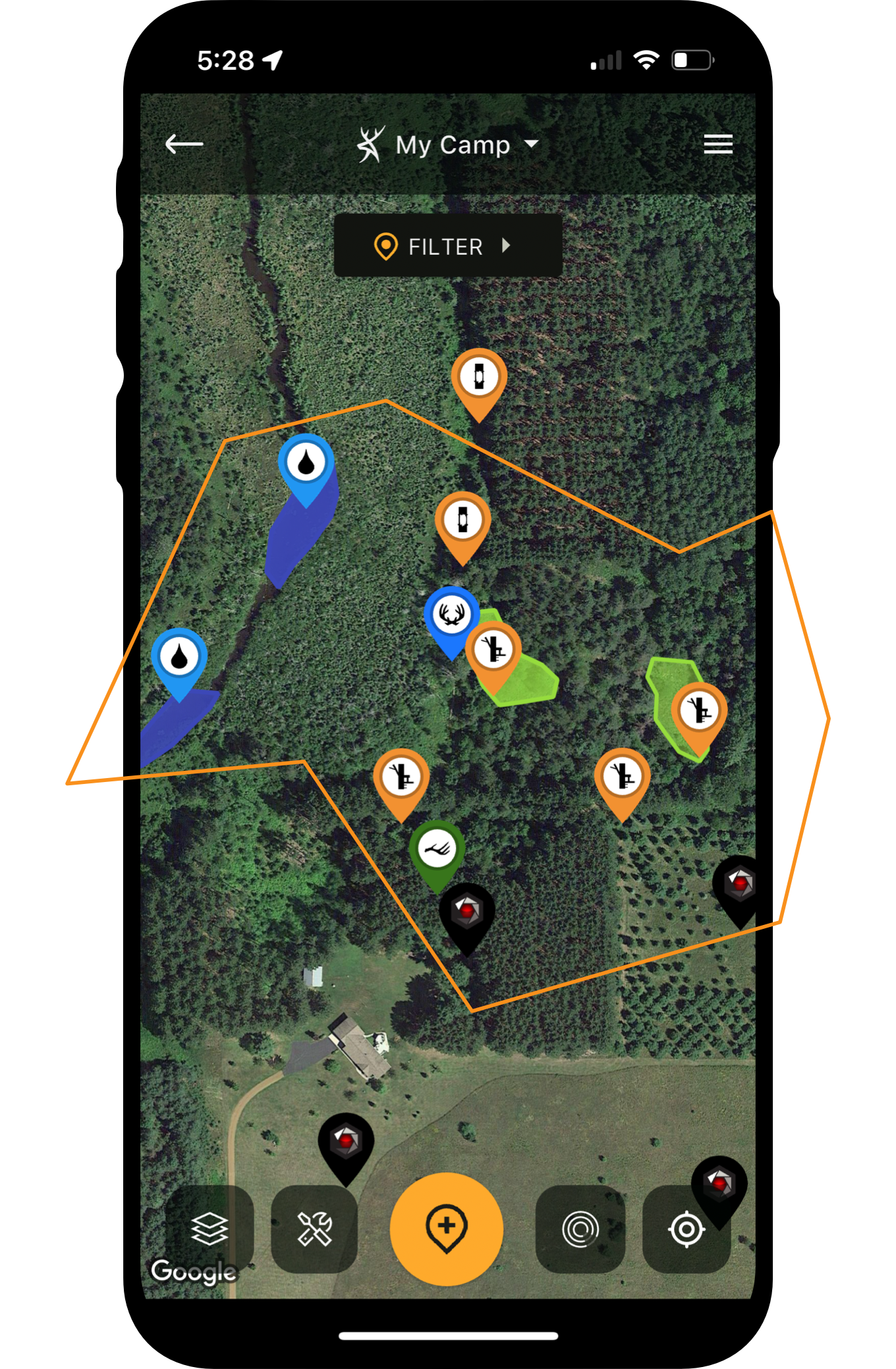
11. Dropping pins for scouting finds, such as feathers, tracks, droppings, and more.
HuntStand provides a variety of unique pins to help keep track of scouting discoveries. Scouting-centric markers, such as food sources, water sources, trail crossings, agriculture fields, food plots, and more, help remember key locations. The app also offers turkey-centric markers for dusting areas, feathers, feeding areas, gobbles heard, roosted gobblers, roosting areas, scat, scratching, setup locations, strutting areas, tracks, and wingtip marks.
12. Finding possible turkey hotspots based on time of day as turkeys move across the landscape and the hunt unfolds.
Turkeys are very nomadic, especially in terms of their hourly movements. Analyzing daily routines, these birds rarely remain in one place for too long. Paired with an understanding of tendencies based on time of day, the app can help find where they might be throughout the hunt.
Hunting Merriam’s Turkeys in the Black Hills [Turkey POSSE]

Place pins for sighted turkeys, and return there on future hunts.
13. Marking gobbler sightings for future hunts.
See a gobbler while hunting? Drop a pin on his location. Each unique pin drop offers value. Over time, a collection of these can showcase important behaviors, patterns, and tendencies of the local flock.
14. Recording harvests to identify consistent kill spots.
Another standalone feature is dedicated to harvests. Kill enough turkeys, and drop enough harvest pins, and this will reveal great historical spots to return to each season. That’s very valuable intel, and some that you might forget about without the pin drops.

Heard a gobble? Mark it in HuntStand!
15. Homing in on the location of heard gobbles.
Hearing a gobble is one thing. Knowing exactly where that turkey stands is another. Combine the app’s blue cone, which projects the direction you’re looking, with the digital rangefinder, and it can help determine what area, or even what group of trees, a gobbler is roosted in or standing near.
16. Deploying the area measurement tool to estimate food plot sizes.
Those who plant food plots for turkeys should benefit from the area measurement tool. This feature allows app users to gauge the acreage of a designated area. This helps calculate seed, fertilizer, lime, and other food plot measurement needs.
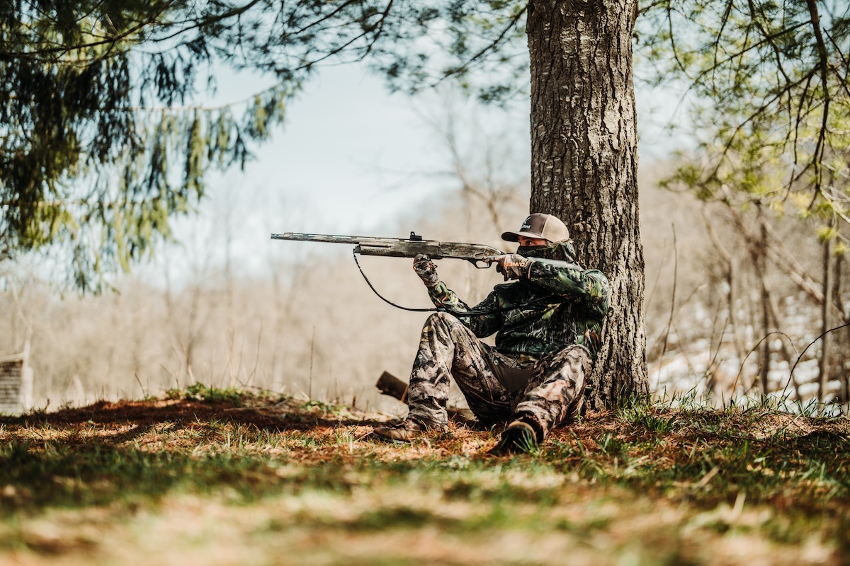
Use the Distance Measurement tool to ensure you're far enough away from dwellings.
17. Benefitting from the distance measuring tool.
Likewise, the distance measuring tool is also beneficial. This can help determine how close you are to a dwelling (home), how far away that field strutter is, the distance to walk to a specific area, and much more.
18. Selecting likely access routes.
Access routes are of utmost importance in deer hunting, but the same is true for turkey hunting. The app helps select the best access routes into and out of a property. After all, spooking fewer birds while afield translates to more successful outings now and later.
Top HuntStand Pro Features for Spring Turkey Hunting

Use 3D Map to find better topography for turkey hunting. Use a variety of Satellite layers to find quality habitat and potential roosting areas.
19. Using the Trace Path feature to reflect on a hunt.
The run-and-gun turkey hunter can benefit from the Trace Path feature in HuntStand. This shows exactly where you’ve been, which sometimes is slightly different than memory serves. It also details how many yards or miles you’ve covered, which is an interesting side note for some hunters.
20. Consulting the Property Info tool helps hunters stay inside the lines.
Remaining on accessible public land, and permitted private land, is very important. Even an accidental step across a property line can result in a messy situation. Fortunately, HuntStand’s property boundary lines help hunters stay inside the green zone.
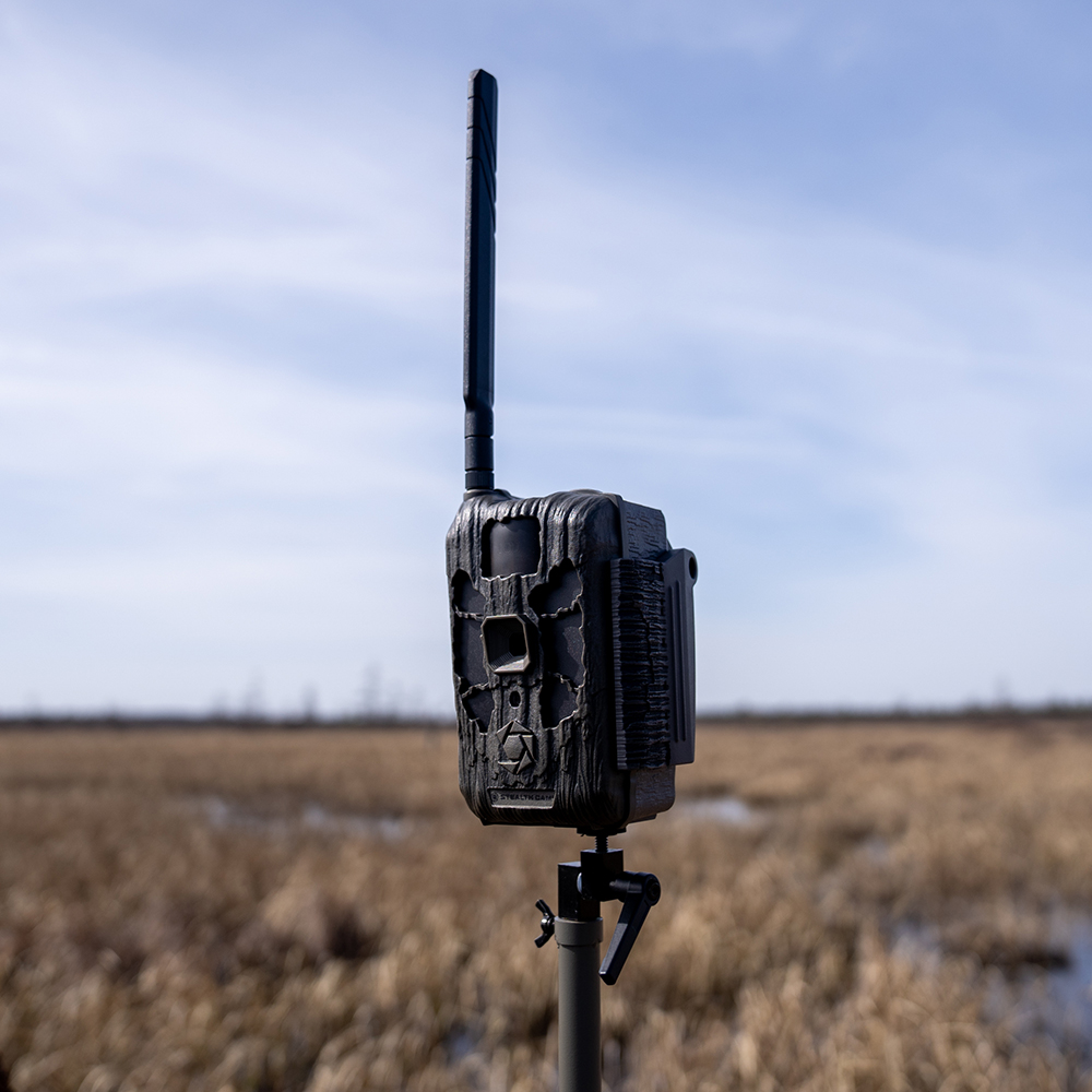
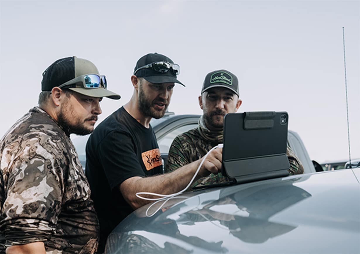
Sync your cellular cameras in the Command Pro app with HuntStand for integrated scouting intel.
21. Finding valuable landowner contact information with Property Info.
Wounded game crossing property lines. Wind blowing gear onto neighboring tracts. Getting permission to walk through off-limits property to access hunt-able ground. These things and more can result in a need to contact a nearby landowner. Those who need to do this can find landowner names and addresses in the Property Info layer.
22. Gauging the wind direction and wind speed via the HuntZone wind indicator.
The HuntZone asset is primarily a deer hunting tool. But turkey hunters can benefit from it, too. This can be used to see how windy it’s going to be, and in what direction it will blow, throughout the hunt. Wind speed and direction can greatly impact turkey calling success. Turkeys can hear better than us, so if you’re rolling into a property on a windy day, try to approach from the downwind side.

Keep track of the weather to be a better, safer turkey hunter.
23. Monitoring weather details makes for better, safer hunt plans.
Spring weather is oftentimes unpredictable and frequently changing. HuntStand provides detailed weather forecasting. With hunting, this is an important aspect of success as well as general safety in the field.
24. Tapping into Monthly Satellite imagery offers near-real-time looks at land.
The Monthly Satellite imagery layer is a great tool to monitor recent changes to the landscape. Controlled burns, timber harvests, agricultural field changes, and more, can all be scouted from afar using this layer. That can help home in on big changes that turkeys will likely respond to.
Finding & Hunting Terrain Features Turkeys Love
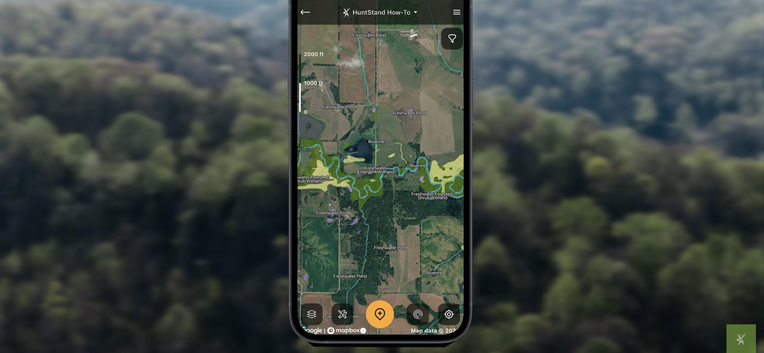
Deploy HuntStand, which was built for the turkey hunter.
25. Drilling down on likely nesting areas.
Hens need early successional habitat to nest in. Without this habitat type, nesting efforts usually go unsuccessful. HuntStand layers such as Mapbox Satellite, National Aerial Imagery, Satellite, and more, can help discover potential nesting areas. Later in turkey season, as more hens go off to nest, gobblers will begin following them toward these areas for security … and to be doubly sure they’re not still in need of a suitor.
26. Keeping track of fellow hunters on a lease or hunt club.
The Stand Reservations tool is used mainly for deer hunters, but it can also be used effectively during turkey season. If you’re sharing a lease or hunt club with other gobbler getters, use HuntStand’s Stand Reservations to make sure you’re not stepping on each other’s toes.
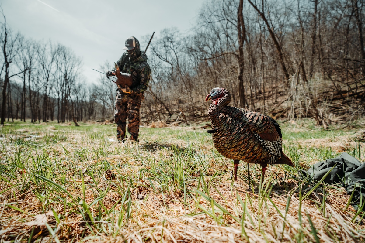
Share your location with friends, and it'll be a safer, more enjoyable outing.
27. Sharing marked locations — and your location — with friends.
It’s very common for turkey hunters to call in other others. A great, and very important feature for those who hunt properties with others, is the Friend Locator tool. Sharing your location with hunting partners on the same property, and even neighboring hunters, can help keep everyone safer.
28. Viewing the 3D mapping feature offers a true-to-life look at the landscape.
The 3D Map is an excellent tool for studying combined terrain and topography features. This offers a true-to-life look at the landscape, and displays the change in topography, as well as vegetation cover, all at once. That’s huge for a turkey hunter. Use 3D to map out your entrance and exit routes, and while you’re in the field as you plan your approach on a gobbling longbeard.
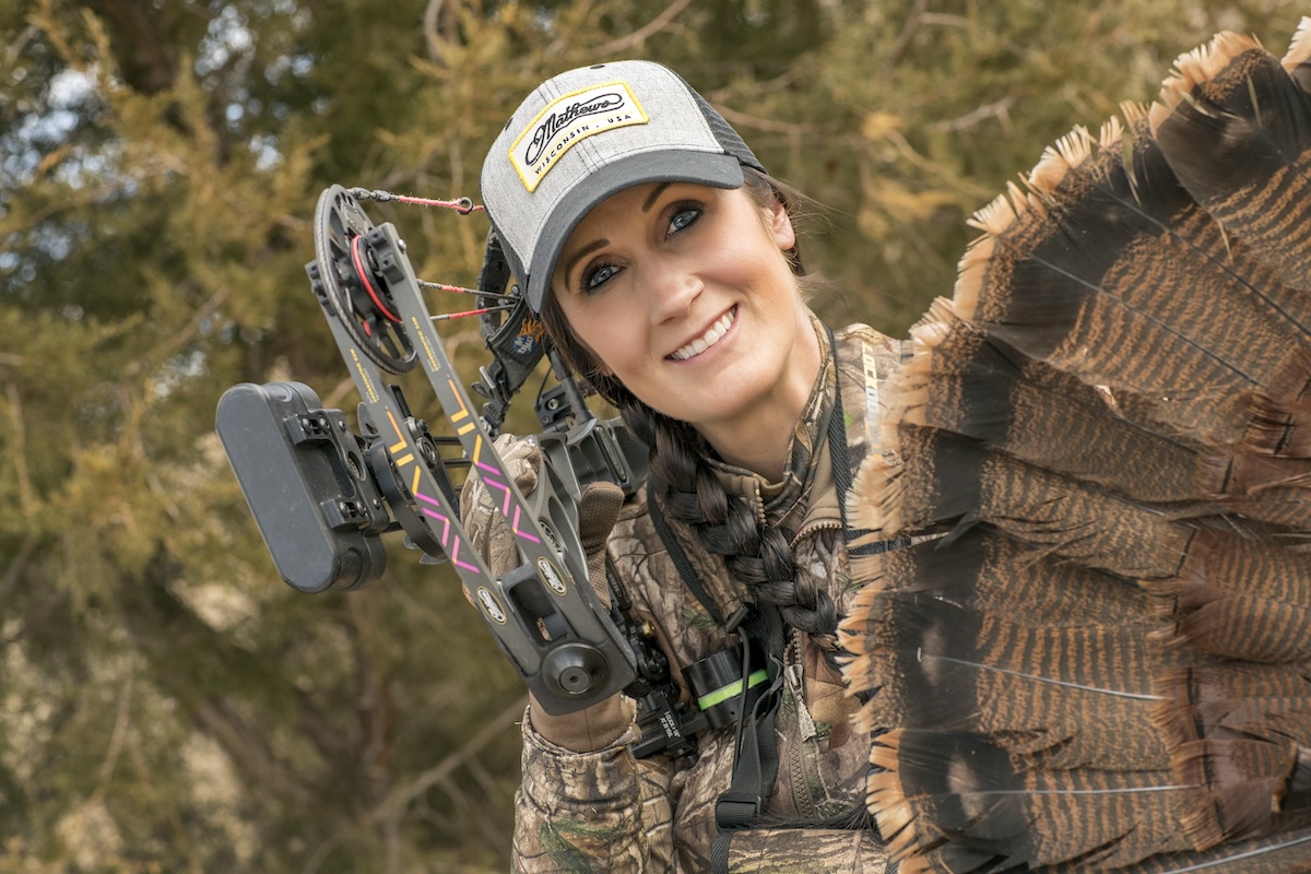
Overall, use HuntStand to make each phase of your turkey scouting and hunting efforts more effective.
29. Creating a hunt game plan.
Every turkey hunter should go into the day with a game plan. Then a plan B, C, D, etc. HuntStand helps make those plans when hunting alone, but especially if hunting with others. Grab a tasty beverage and spend some time reviewing HuntStand with your turkey camp brethren.
30. HuntStand Pro is an effectiveness enhancer, resource provider, time-saver, and more.
Success oftentimes follows those who prioritize effectiveness and optimization. Without question, HuntStand Pro enhances effectiveness, provides invaluable resources, and saves a lot of time for turkey hunters. If you’re ready to take your turkey scouting and hunting to the next level, consider a HuntStand Pro subscription today.