



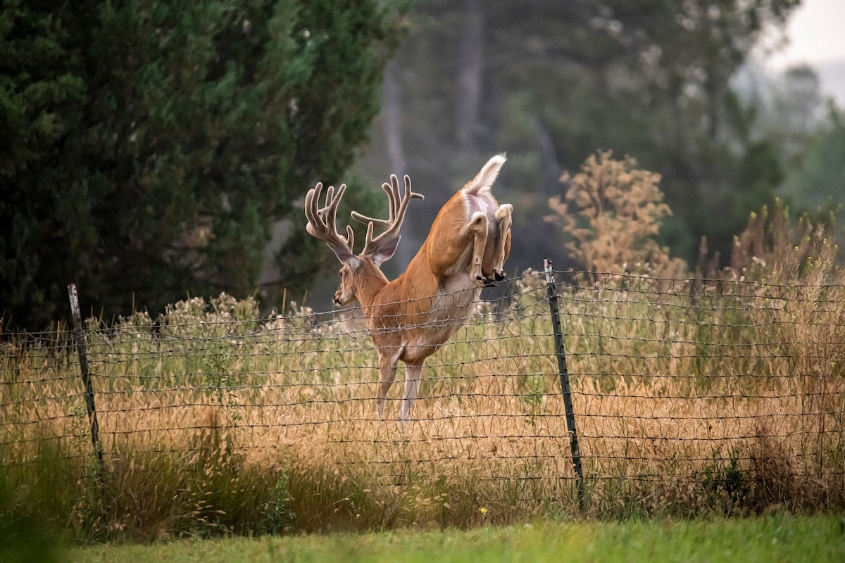

Use property lines to your advantage.
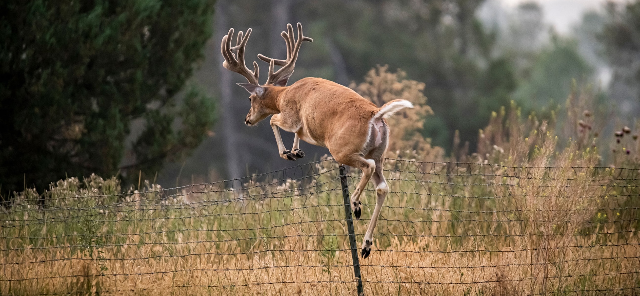
For outdoorsmen everywhere, there’s a good bit of truth to the phrase, “The grass is always greener on the other side of the fence.” If you’re hunting any big game species, you know most of them tend to hug or relate regularly to fence lines when present, particularly those between public and private parcels.
Regardless of the reason for game animals’ coziness to property lines, it pays to know where boundaries lie even if a fence doesn’t exist. And because they often don’t, it also pays to remember this important fact. It helps in knowing how to use HuntStand’s Property Lines feature to ambush deer.
In rough terrain, it’s common for property owners to forgo fences for convenience, and some fences you will encounter don’t adhere to deeded surveys. Public property could extend beyond a posted fenceline or vice versa. Having accurate coordinates is imperative, and that means relying on popular and proven-accurate hunting apps like HuntStand to relay this critical information to you in the field.
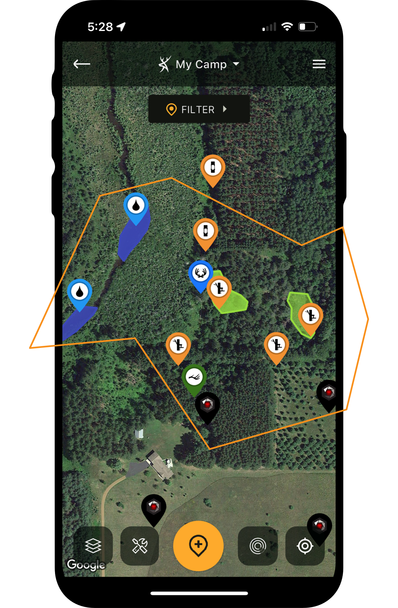
HuntStand offers highly detailed and up-to-date aerial imagery that you can overlay with graphics such as topography, and this past spring HuntStand added the exciting new Property Lines feature. Simply tap on your interactive map to see property lines, property sizes, (even landowner information), and other helpful property details. Save these locations and you’ll have access to offline viewing even when you can’t get service in the field.
How to Chart a Buck’s Home Range and Core Area with HuntStand Markers
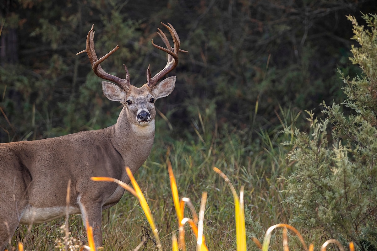
Deer don't know where property lines are located.
Knowing property boundaries can help you plan an ambush on a big game species that could be hugging or crossing a property boundary. You’ll also be able to see how close you are to a boundary in the dark. More often than not, I access my morning ambush locations in pitch-black darkness to set up my surprise.
I also utilize the HuntStand Property Lines feature to look for out-of-the-way parking, which helps to get me away from the bulk of the public-land crowd. Most public areas have a designated parking area, but you might be able to enter a property from a right of way, a secondary gate, or even through a cooperative landowner who adjoins the property. This can give you access to other, less-trafficked areas of a particular public tract, or at the least, a good head start.
And don’t forget the simple fact that the majority of Americans are overweight and one-third is even obese. Hike beyond the half-mile margin and you will leave most of the crowd behind. Go a mile or further and you could be subject to loneliness as you near a boundary hunting area. You can also set yourself apart from the regular hunting crowd by using the topography feature of the HuntStand app, to help set a course through the roughest terrain. Why the roughest? Steep and/or rugged obstacles easily deter the average hunter.
The 5-Step Scouting Plan to Pattern Mature Bucks
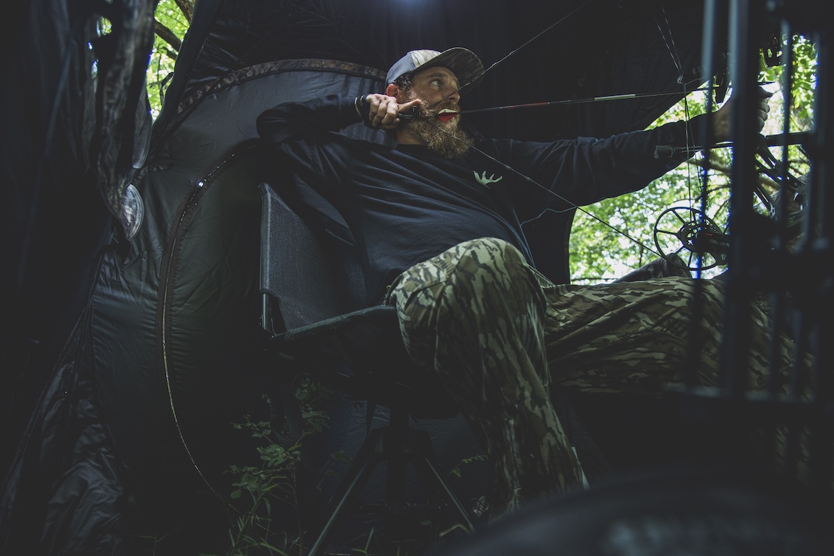
Set up in the spot that best suits your efforts.
The Property Lines feature is one of my favorite features of the HuntStand app, which, of course, also includes pinpoint wind and weather forecasts. I regularly use the app’s features to mark trails, trailheads, camp, food plots, scrapes, blood trails and more. And don’t forget to use HuntStand to keep track of game animal activities with logging options dedicated to big game, deer, turkeys, predators, waterfowl and hogs. You can even share your findings with friends via the app. These are just a few reasons to get on the HuntStand bandwagon this fall.
Yes, the grass can certainly be greener on the other side of the fence, and truth be told, quite often it is. But when you use the Property Lines feature of the HuntStand app, many times you can get in on the action by hunting those all-important boundaries, and you can do it with complete confidence. If you haven’t done so already, it’s time to hedge your bets, and increase your success this fall, by tapping into HuntStand’s valuable Property Lines feature.
UPGRADE TO HUNTSTAND PRO WHITETAIL