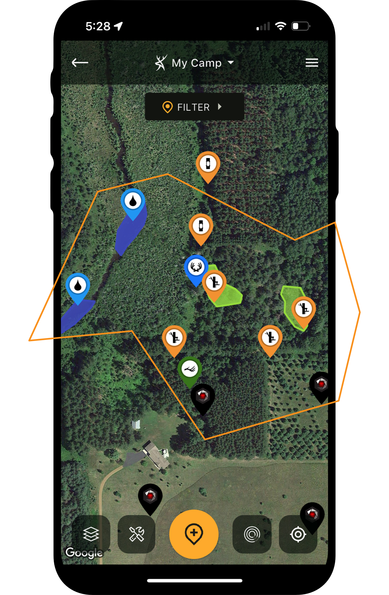








Use your HuntStand app and maps in unison for utmost effect.
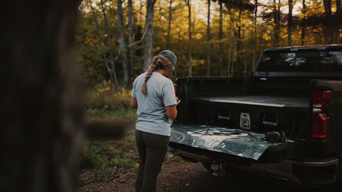
Quality maps can simplify the scouting and property management processes.
Modern deer hunters have many different scouting tools at their disposal. Incredible apps, advanced cellular trail cameras, analytical trail cam photo software, powerful optics, and more, are available to hunters. But there is one tool that’s been around longer than all the others. Here are ways deer hunters use maps.
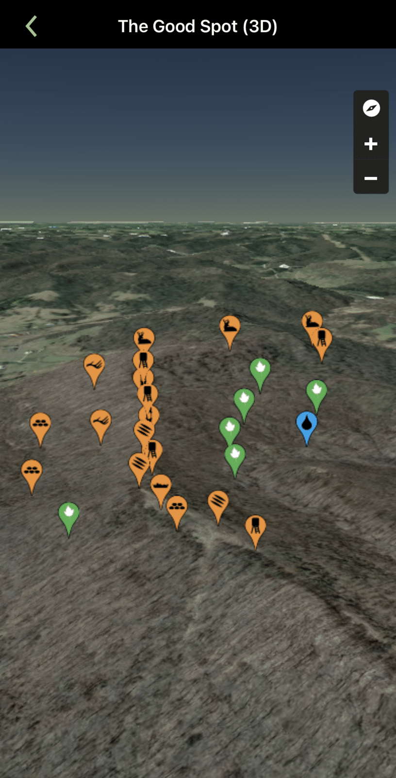
1. Seeing the Surrounding Area
When scouting a general area, or searching for a place to focus efforts, it’s important to zoom out and analyze the entire area. Oftentimes, a handful of spots are better than the others. Usually, this is because of several key factors, such as bedding quality, food sources, water availability, terrain type, hunting pressure, and more. Therefore, pinpointing potential hotspots with important considerations and factors in mind gives hunters a starting point.
2. Seeing the Immediate Area
Once numerous areas are selected, it’s good to drill down and study these in greater detail. A zoomed-in approach offers up a more nuanced view of the area. This can reveal important land features, potential stand locations, and other valuable clues.

Food sources are easier to find with maps.
3. Finding Food Sources
Whitetails have been known to consume more than 700 plant species throughout their range. And while it’s impossible to pinpoint every potential food source from a map, these printed beauties can reveal clues. For example, ag fields, food plots, and other field-based sources are easily located. Other food sources, such as oak flats or key early successional browse, are possible to identify as well.
How to Hunt Your Neighbors’ Deer
4. Locating Water Sources
Maps are ideal for locating water sources. Larger bodies of water are easier to see, but certain map types make smaller, more obscure water sources easier to identify. Water is obviously necessary for H2O intake. However, it means much more to whitetails than just that.
Certain waterway characteristics provide security to deer, too, especially creeks, rivers, and lakes. Therefore, equipped with that knowledge, hunters can turn those things into key hunting advantages. For example, deer commonly bed in oxbows, which are U-shaped land masses with water in three sides. Oftentimes, creeks and rivers form these, and deer bed down there. Hunters and predators rarely approach from water, and deer know it. With the right wind direction, deer bed down in these and benefit from the protective water boundary.
Because of this, such places offer quality access strategies. Hunters can catch deer off guard. Water access also increases the number of directions a hunter can approach from, minimizes ground scent, and more.
Furthermore, deer must find ways to cross bodies of water, too. Over time, deer establish consistent crossings. These can make great stand locations.
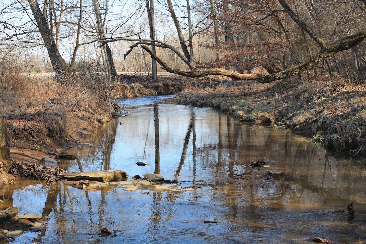
Water sources are key for consumption, security, and access. Certain map types identify water quite well.
5. Gauging Cover and Habitat
The habitat type can also produce possible stand locations. For example, fencerows, inside field corners, hidden ag fields, oak flats, small openings, and other areas, tend to harbor food sources. Certain deciduous trees drop hard or soft mast that deer consume. Early successional habitat also provides key browse and other natural food sources.
Analyzing habitat type isn’t just for locating impactful food sources, though. It also greatly influences bedding cover. Deer target coniferous trees as bedding areas. Concentrations of cedars, pines, and spruce offer thermal cover that shields deer from the elements.
Of course, cover can also create funnels and pinch points. Depending on proximity to bedding, food, and water, these can be successful stand locations. That’s especially true during the rut when bucks are cruising.
How to Find a Dream Hunting Property [Deer Dirt]
6. Reading Terrain and Topography
In addition to cover and habitat, maps also showcase terrain and topography. Topo maps include contour lines that depict elevation change. These are beneficial for locating key topographical features, such as benches, bluffs, bottomlands, drainages, points, ridge lines, saddles, thermal hubs, and more. Hybrid maps offer an aerial view with contour lines overlaid on top of that. This helps to visualize cover, food, water, habitat, terrain, and topography all at once.
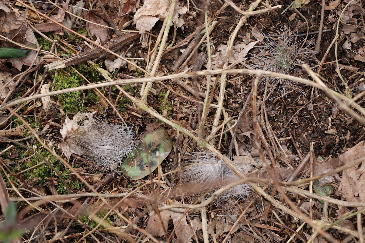
Maps can indicate likely areas to find buck beds.
7. Visualizing Property Usage
One of the most important aspects of scouting and learning a hunting property is how deer use it. Merely knowing the locations of bedding areas and food sources isn’t enough. You also need to know the trail network that connects key points on the landscape.
During the off-season, hunters can walk the trails on a property, and draw these on the map. This visualization allows hunters to see the entire trail network on a property. That makes it much easier to see how deer are using the entire area, places to avoid investing time, where deer are more vulnerable, and more.
Mature Buck Travel Patterns: Summer Vs. Fall Data
8. Choosing and Marking Stand Locations
Once a hunter scouts the property, maps help choose stand locations. It also helps to keep track of permanent stand locations, trees for hang-and-hunt missions, etc. It’s also great for deciding what stand location to hunt based on current conditions, including wind direction, seasonal food sources, and other key factors.
Of course, maps can do other things as well, especially when crafted with a nuanced or dedicated purpose. Specialty maps can help deer hunters study trophy records, gauge soil quality, find public lands, determine rut dates, understand hunting regulations, and much more.
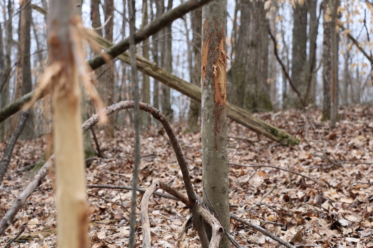
Marking property usage elements on maps can help visualize how deer are maneuvering across the landscape.
The App-Map Combo
Obviously, physical maps are still viable. These are incredible tools that make deer hunters more effective. But these hunters are doing themselves a disservice to use physical maps alone. To garner maximum benefit, integrate the HuntStand app with maps.
By doing this, hunters get the best of both worlds. The maps offer large-scale viewing of a hunt area, making it easier to see details that might go overlooked on a smaller screen. It might reveal a killer pocket of brushy cover, obscure topographical feature, or some other key stand location that’d go unnoticed on a screen.
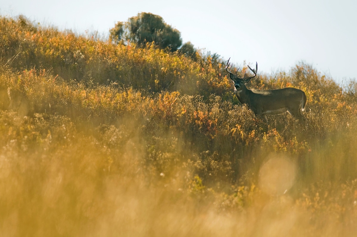
Used correctly, the HuntStand app and affiliated maps serve hunters in ways other resources can't.
Additionally, the HuntStand app offers powerful tools that complement physical map usage. The Map Editor and HuntZone tools complement similar abilities with physical maps. Plus, 3D Map and Terrain give alternative viewing options for traditional topo maps with contour lines. And of course, certain things just aren’t usually possible with maps. For example, specialty layers, such as HuntStand’s Crop History, Monthly Satellite, Nationwide Rut Map, Property Info, Public Lands, Whitetail Habitat Maps, among others, provide invaluable details. Not to mention the Whitetail Forecast tool which indicates key hunting days and times.
When the power of apps and utility of maps combine, it results in a scouting force to be reckoned with. Whitetail enthusiasts would be wise to use these in unison this deer season. They’ll see the various ways deer hunters implement printed maps and how beneficial they truly are.
Next-Level Deer Hunting with NEW HuntStand Pro Whitetail