



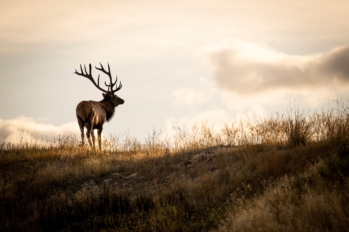

Elk gravitate to certain terrain types. Find these places.
When talking with fellow elk hunters, especially novices, the perplexing character of elk highlights the conversation. Unlike whitetails that adhere to patterns and live in a one-square-mile homeland, elk ramble and roam a vast home territory. On private lands, elk might settle into a whitetail-like living with regular hours, but do not expect that on public lands.
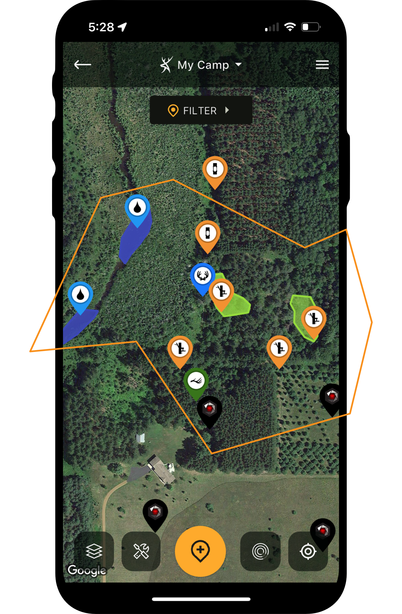
To better prepare yourself during your e-scouting and actual hunt, consider focusing on five terrain features that elk love. Find these terrain features elk can’t resist, build their use into your hunt strategy and expect them to lead you to elk. HuntStand can help, especially if you upgrade to HuntStand Ultimate, with infinite aspects to amplify your scouting.

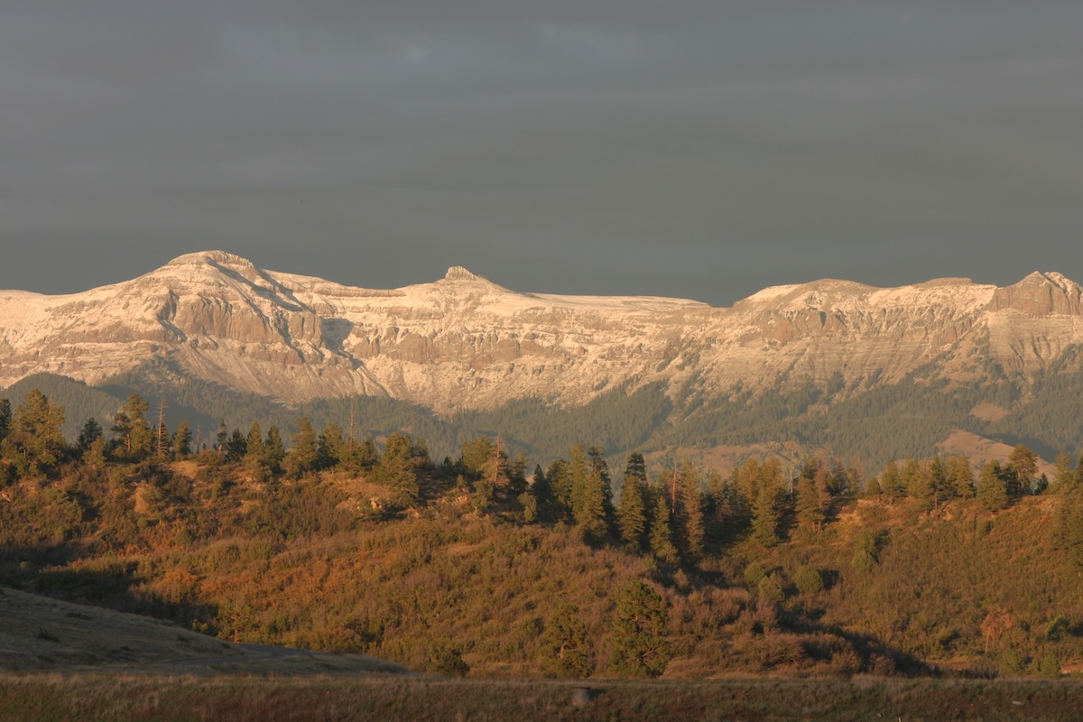
Elk country is big, and HuntStand can aid in finding terrain features that elk prefer.
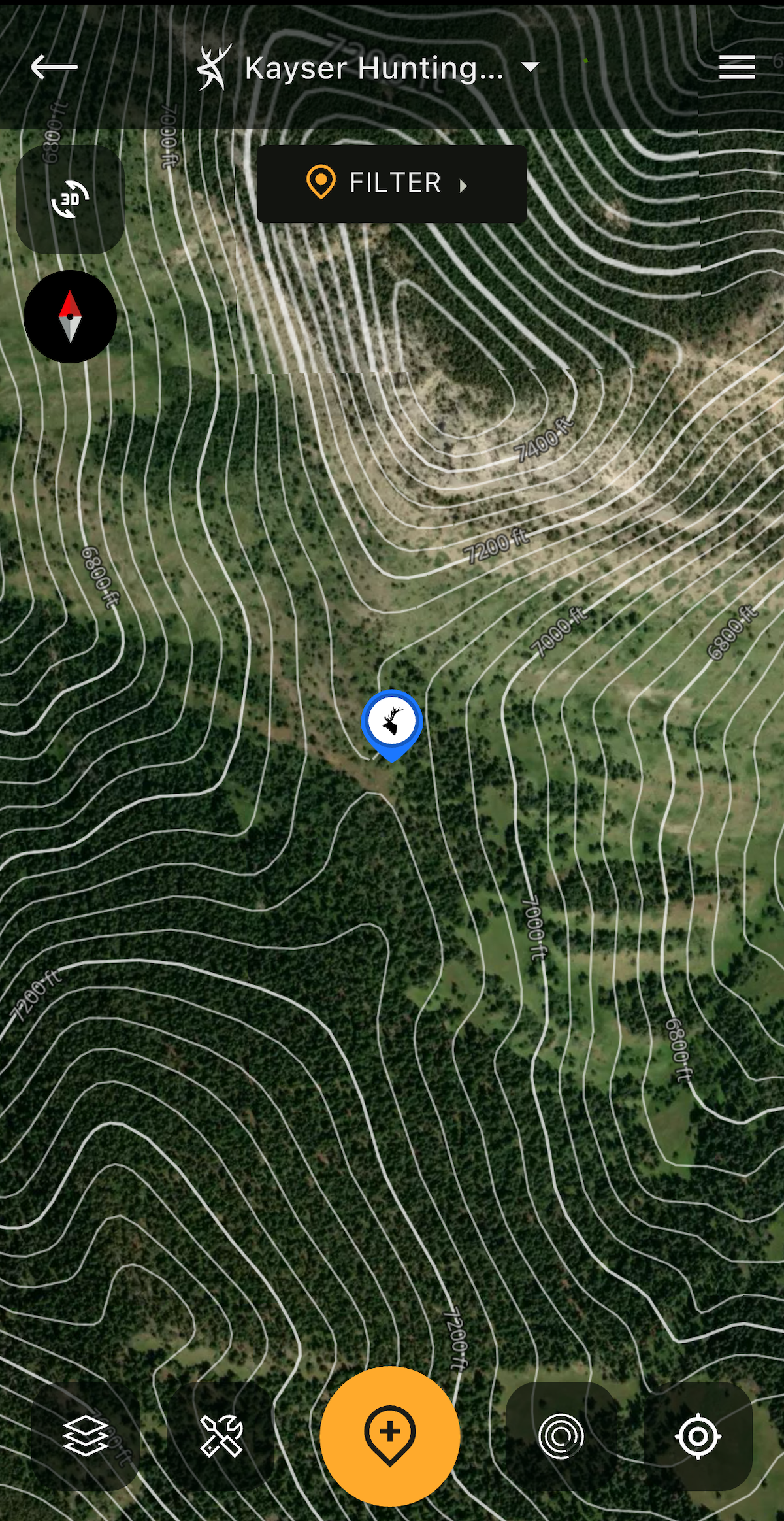
Deploy the HuntStand Contour overlay to discover saddles marked by the bull elk.
1. Mountain Pass Saddles
Cowboys still say, “saddle up.” I say saddle up or down. Saddles are commonly referred to as passes, and mountain gaps. They lay out easy access for elk to move from mountain to mountain. You often find these terrain interruptions on the sides of mountain summits. Instead of going straight over a mountain, generations of elk carve easily followed pathways around summits through these saddles and passes.
To find these routes easily at home, put HuntStand into play and begin with a look at your hunting unit with the Hybrid map layer. Once you settle on an area, use the Quad Topo layer to confirm your hunch. Interval breaks in the topographical lines indicate shifts in elevation and the presence of a possible saddle. These changes often include the saddle leading to a small canyon, creek or gully as they descend up and down the mountain in a V-shaped formation.
It might take a firsthand inspection to determine how elk are using the saddle and when. At home, look below and above. If feeding areas lie below, elk might utilize the saddle to access feed at night or return to mountain bedding cover through the saddle at daybreak. Elk also likely use these passes to escape hunting pressure from nearby areas easily accessed by other hunters. Regardless of the reason of use, consider the terrain feature as an ideal location to ambush elk or even take a break with an opportunity for elk to appear in the natural funnel at any point during shooting light.
Hunt Elk at Higher and Lower Elevations
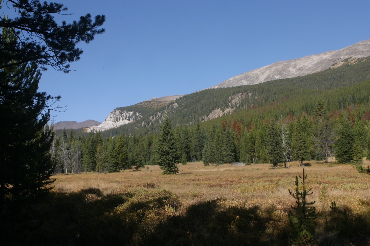
Elk are grazers, and as such, require lots of grass to survive. Find parks and meadows and you might find elk.
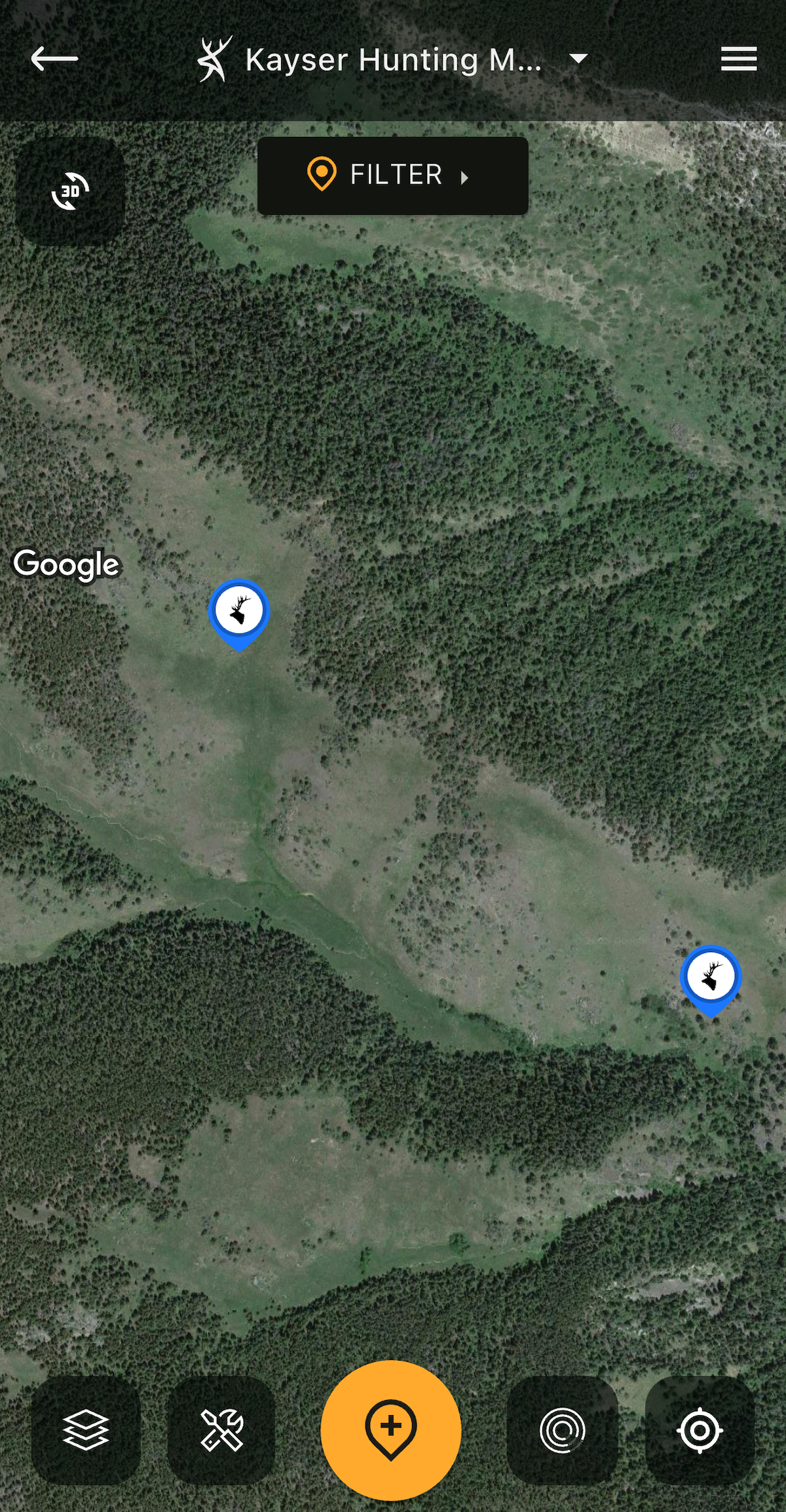
HuntStand's Hybrid base layer is great for discovering parks where elk feed.
2. Mountain Meadows
Saddles and passes often lead to your next e-scouting assignment: food. Elk are grazers and as large ungulates — 700 pounds or more — they require a big batch of grass daily. Depending on the size of the animal, they might require 12 to 20 pounds of vegetation during a 24-hour cycle. Most of that grass is found in openings called parks or mountain meadows. Find a series of these in your hunting area and expect elk to “park” for food at a park.
Elk country varies from region to region, thus the areas where elk feed also varies. Meadows and park openings play an important role for elk living in dense conifer settings. Using your Hybrid layer often lets you spy on these openings easily from above. The National Aerial Imagery base layer also offers viewing options to spot openings from above. If you struggle finding openings, consider the Tree Cover overlay map on various base layers to point out any openings.
And although elk prefer to feed in openings with abundant grass, when pressured or when looking for lush vegetation, they might spend time in areas where aspens or scrub oak flourish. The open nature of the canopy allows more sunlight to reach the ground, thus prompting adequate vegetation growth for optimum elk grazing within a veiled refuge. For confirmation onsite, add a team of trail cameras for your surveillance assurance.
Plan for Public-Land Elk Hunting
Use HuntStand's Natural Atlas base layer to locate water sources for big game.
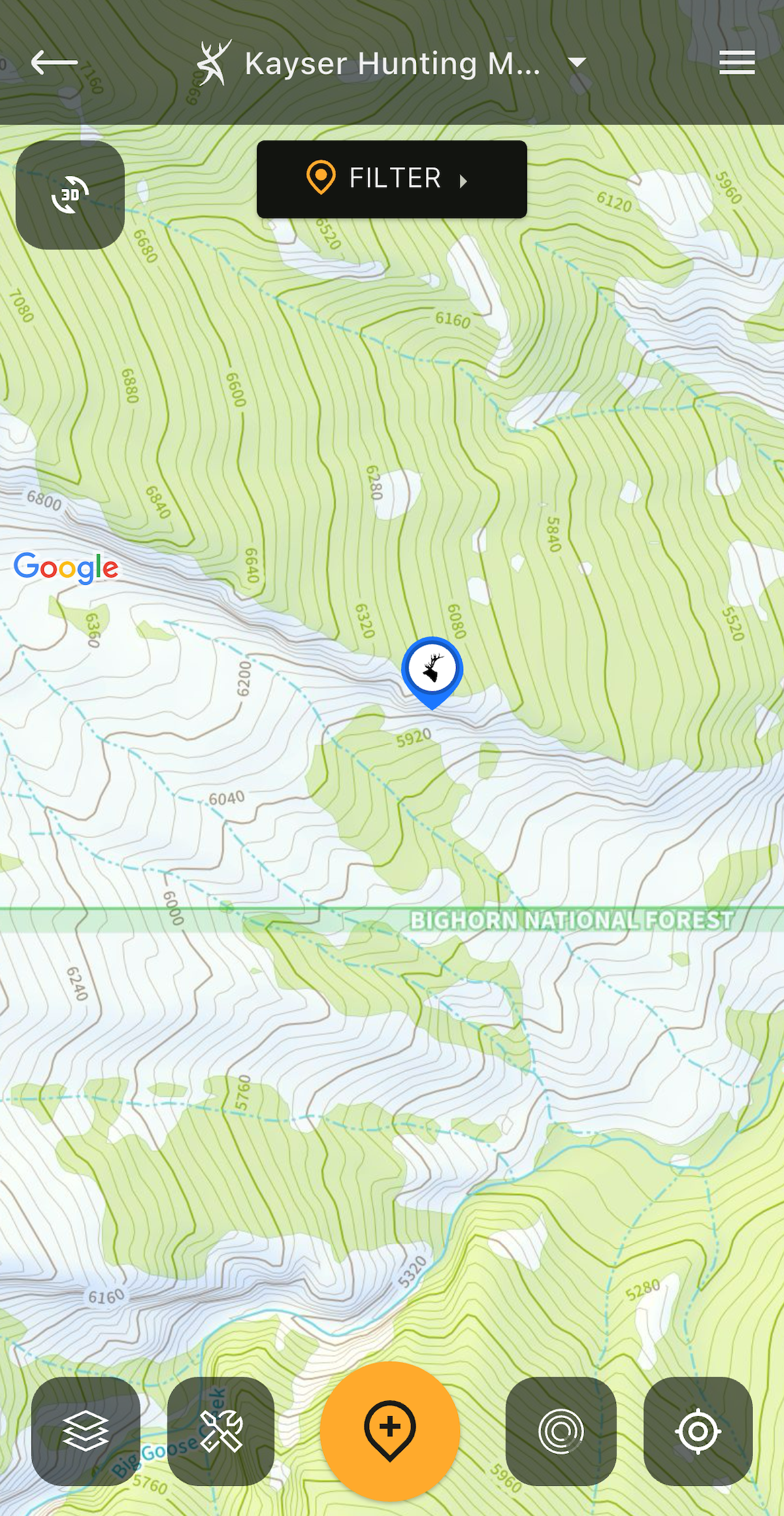
Use the HuntStand Natural Atlas layer to locate valleys and water sources.
3. Valleys and Canyons
Deep valleys and canyons also attract elk. Keep tabs on these terrain features as you e-scout your hunting area. The most attractive gorges include steep features and no roads. These elements dissuade hunters that are out of shape and require an ATV to access elk country.
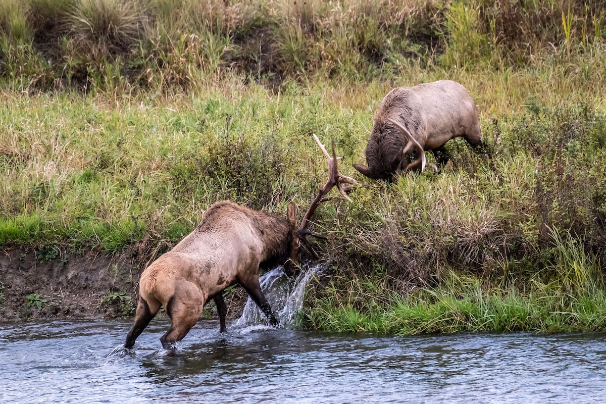
To make a deep recess even more attractive to elk, in addition to the security it can provide, it might offer food and water. Coursing down many mountains and routing down canyons are creeks. Even the smallest sources of moving water attract elk, particularly during the heat of the early season and the rigors of the rut. Some creeks create marshy areas, but all feed vegetative growth along their banks.
These greenways at the bottom of a gorge become a major attraction when added to security and a water source. And do not neglect to glass steep mountainsides above a likely valley candidate. Finding elk in steep country is often easier than rolling lowlands. In steep country, elk are forced into limited areas and glassing is more effective. Rolling terrain allows elk to scatter and disperse in more locations, making locating more challenging.
Again, do an initial scan of an area with your Hybrid base layer, but move to the Natural Atlas and Quad Topo to confirm if the area provides steep, inaccessible foundations for isolation. The Natural Atlas also illustrates water sources in the bottoms or streaming down a mountainside to the valley below.
After landing on a top contender, put your 3D Map base layer to work and do a virtual flyover. It could scare you into rethinking your choice, but hopefully not.
Hunt Elk During Gun Season
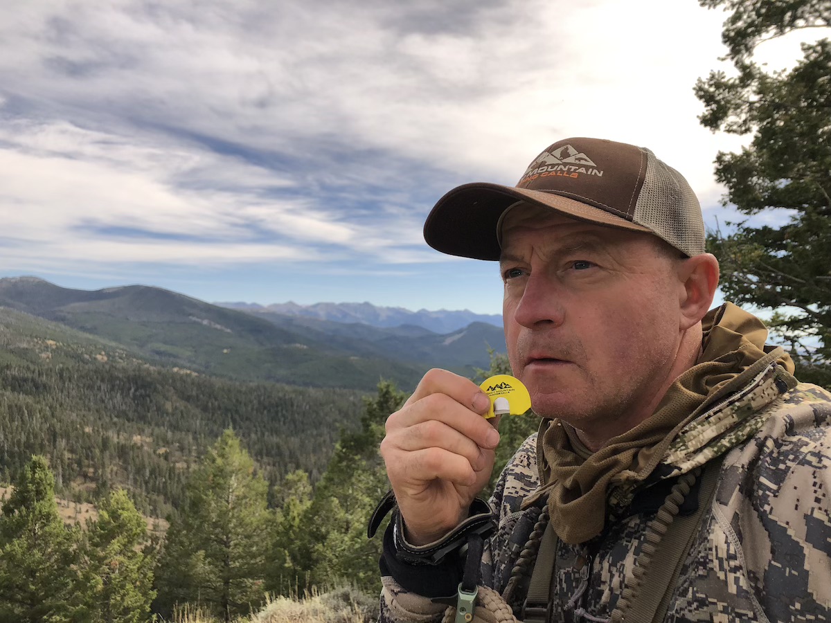
Elk country is immense and HuntStand can aid in finding terrain features that elk prefer.
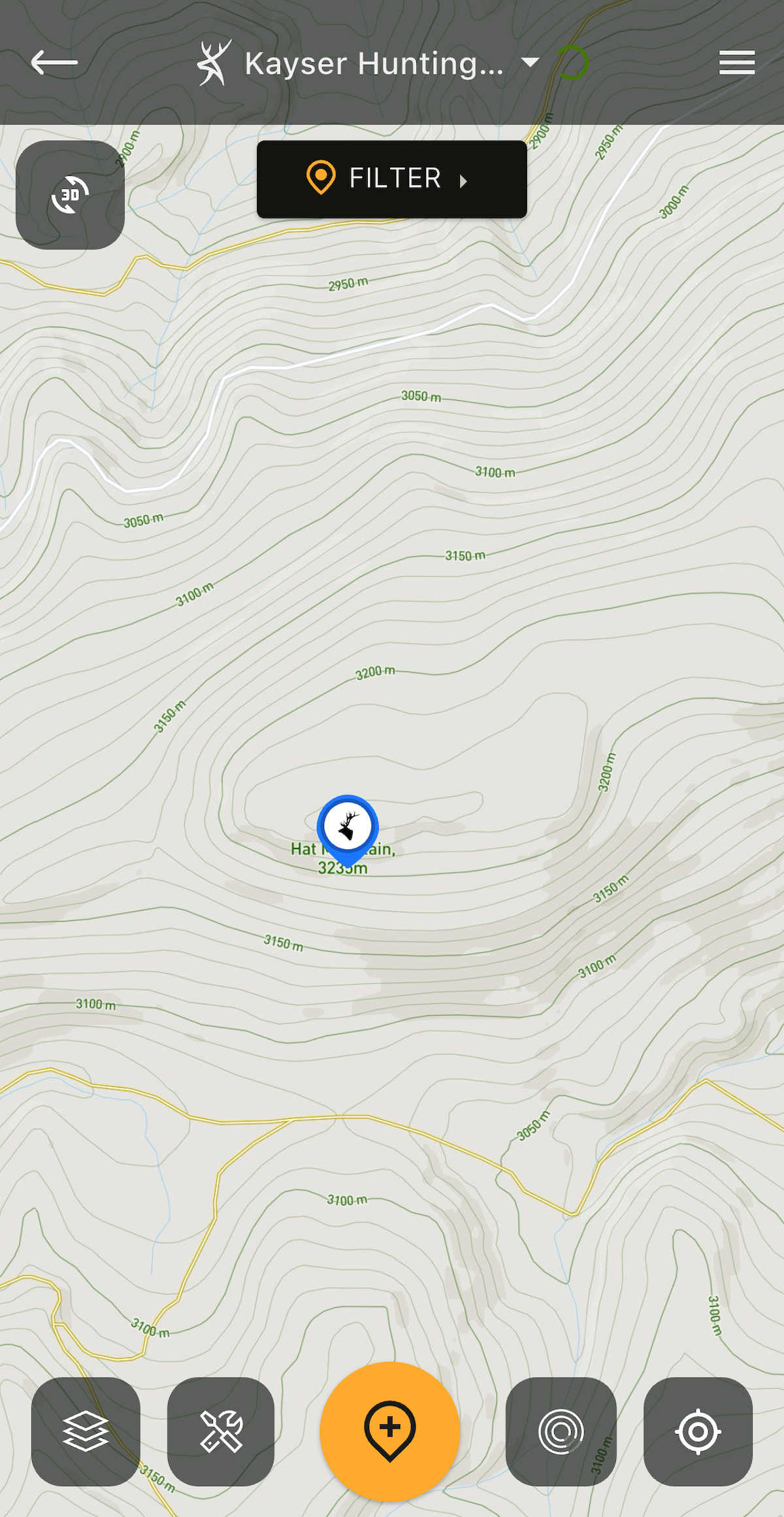
Use the HuntStand Outdoor base layer to locate flat mesas and mountaintops.
4. Mesas and Flat Tops
Unless elk find sanctuary behind a large fence hosting a “no trespassing” sign, expect them to go high for escape. They will cross those steep canyons and gorges looking for a mesa or mountaintop refuge. You should do the same.
Begin at home looking for those same refuges in your e-scouting preparation. Your hunt for deep, roadless valleys puts you ahead in this search. Now look above and beyond for a mesa, or mountaintop elk haven. Flat-topped highlands and mountains with broad tops attract elk looking for safety and air conditioning.
These heavenly sites catch winds often obstructed by other terrain features to cool elk and keep early season insects at bay. Depending on the latitude, conifers can be found on the top in varying degrees of thickness. Most importantly, mesas and some mountaintops typically include openings that provide elk with grazing opportunities between cud chewing. Consider these factors and scout if water is available nearby. A rugged mesa or mountaintop with no developed roads, grazing, and water could be holding elk consistently during hunting season.
HuntStand’s Outdoor base layer includes a quick overview of topographical variations in the terrain to spot these sometimes-hidden elk zones. Add the Contour overlay and your search becomes simple to zero in on elk mesas or mountaintop hideouts, especially with the marked trails (or lack thereof) easily showing. Put a 3D Map flyover into play at the end of your search for a final confirmation of your discovery.
Hunt the Elk Rut: Morning, Midday, and Afternoon
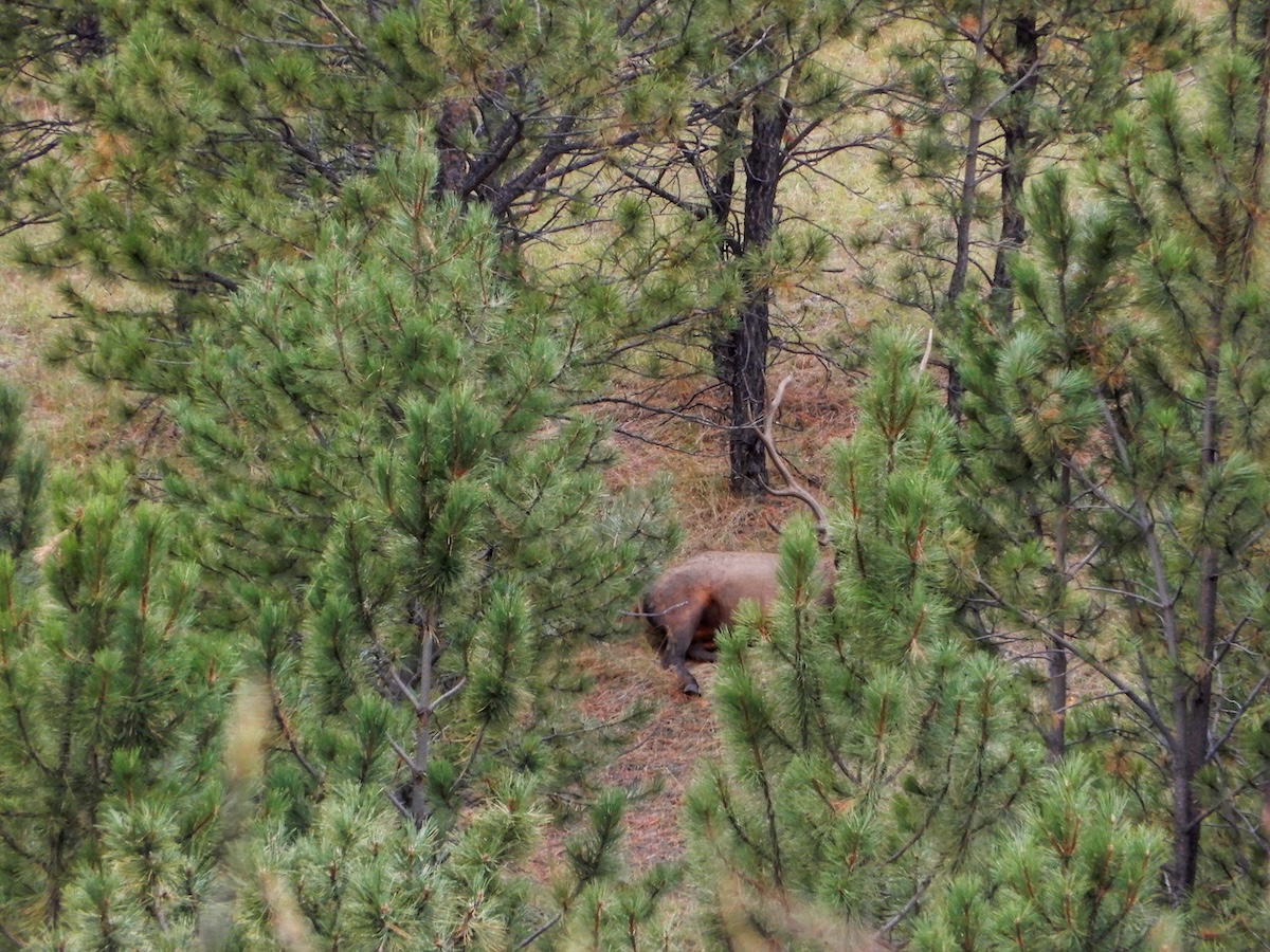
Use the HuntStand 3D Map to virtually fly over a hunting area.
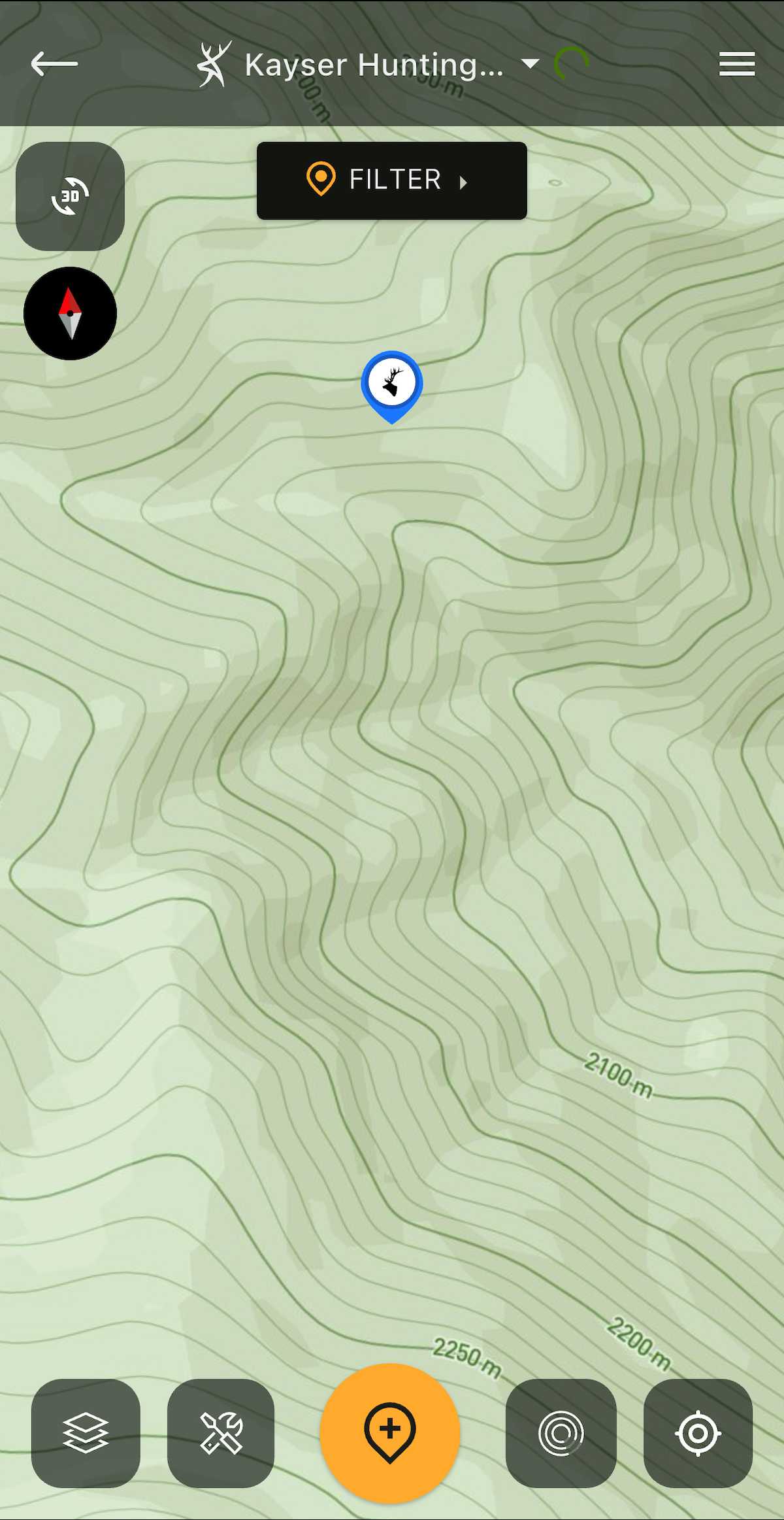
Use HuntStand to pinpoint likely benches where elk hang out during the day.
5. Benches
Sometimes elk hideouts are not as easy to find as a mesa or a favorable mountaintop. Sometimes you need to look underneath the timber canopy to find the “park” benches (get it … benches) that elk prefer during downtime. Heavily pressured elk, or elk living in zones where temperatures routinely exceed 70 degrees, dive into thick cover for escape. Dense stands of timber give elk security to see predators lurking and it also offers a cool bedding site. The preferred place to bed for elk lies on a north-facing slope with a bench for a comfortable rest stop.
Not only do benches offer elk a place to hide out during the day, but it gives you an opportunity to keep the hunt going long after the bugling or movement stops. Use benches as ambush locations to wait for elk to arrive or as still-hunting opportunity locations in the middle of the day. Work the wind and be cognitive of thermals to achieve a total hunting strategy that does not rely on dawn, and dusk. Benches hidden under a screen of old-growth timber are preferred, especially those that are adjacent to quality forage, water, and connect to other travel routes. If elk are in the vicinity, they will seek out these preferred comfort stations.
Almost all the tools discussed above aid in locating a bench under the branches of timber. Utilize the Quad Topo or Natural Atlas baser layer or add the Contour overlay to a variety of base layers. Look for steep slopes that suddenly show a widening band of topographical contour lines as indicators of benches. Stick to the north slopes.
Hunt Late-Season Elk
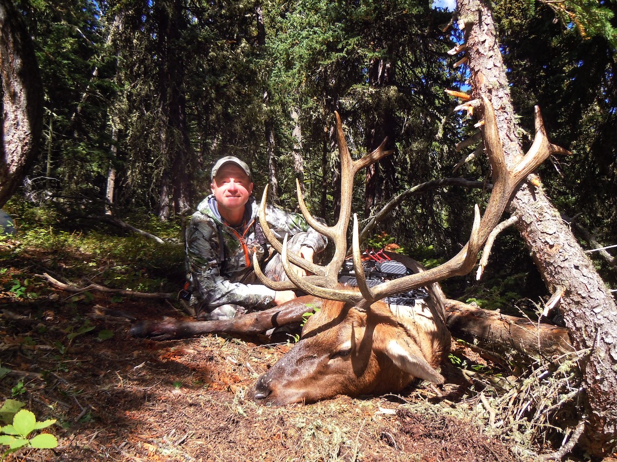
Mark Kayser tagged this DIY, public-land, solo hunt bull while hunting benches in dark timber on a north slope in the middle of the morning. HuntStand helped him find the benches hidden by timber.
Upgrade to HuntStand Ultimate
Elk continue to perplex many, including me, each season. To minimize the complexities, scout for the terrain elk love and mark them on your HuntStand app for visitation during the season. In fact, the all-new HuntStand Ultimate comes loaded with features made for the elk hunter. It offers every available map layer, and all HuntStand premium tools, at the nationwide level. It even includes an advanced elk activity forecast, elk rut map, western game unit maps (districts, game units, hunting zones, etc.), and much more.
The Activity Forecast is built with a proprietary algorithm backed by decades of elk movement research. It delivers hourly predictors for your exact location. Likewise, the rut map is backed by extensive research, and has color-coded phases for easier planning. Plus, with the power of the revamped 3D Map, you can plan hunts with the utmost precision. For all this and much more, upgrade to HuntStand Ultimate.