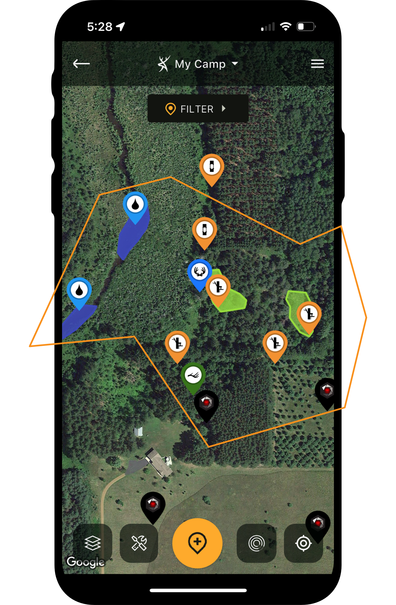




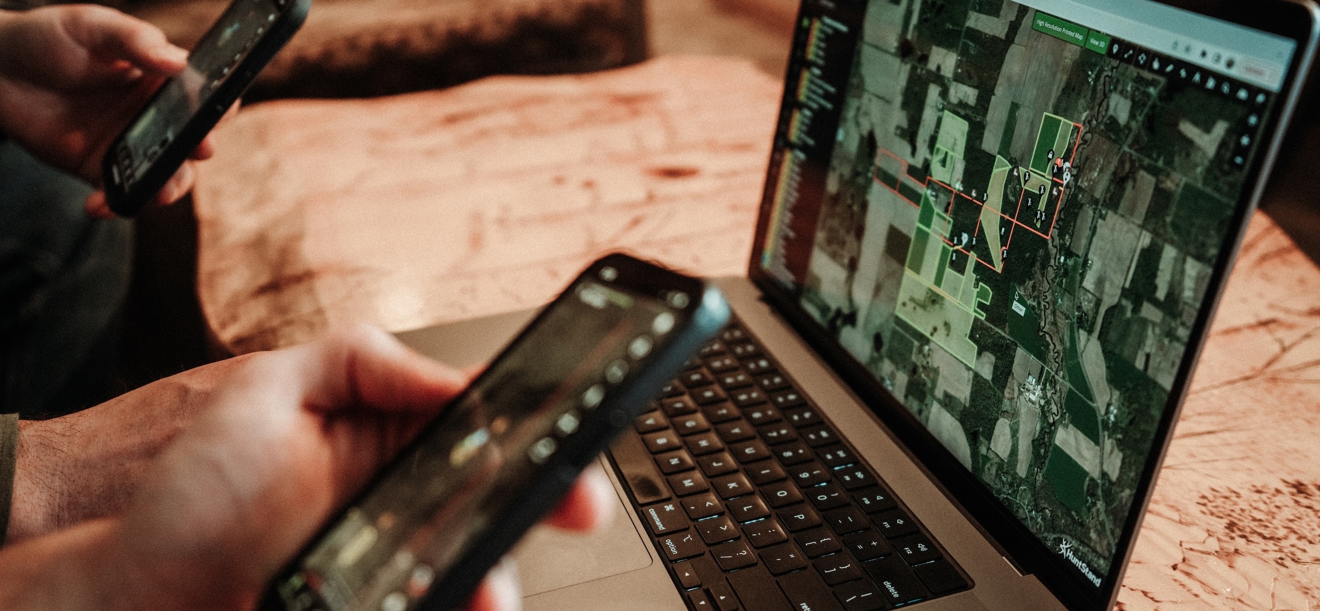

That heavy-racked whitetail steps out, the bowhunter draws back, and an arrow flies. After years of targeting the specific deer, a final effort culminates into a memory-rich ending. Buck down. Tag filled. And HuntStand’s powerful tools played integral roles in this complex process.
Of course, you can’t use communication devices to pursue deer. Drones aren’t permitted as tools to aid in the harvest, either. But certain technologies are ethical, and allowed, in the hunt. Hunting app technology is among these.
It’s no secret that HuntStand is loaded with features, but there are plenty of hunters who underutilize the app. Check out this long list of next-level HuntStand tips for advanced deer hunters. Implement ethical tech to assist with big buck pursuits.
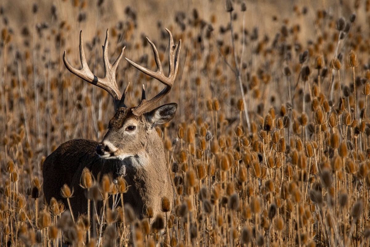

Use HuntStand Ultimate's mighty tools to home in on big target bucks.
1. Finding Private-Land Honey Holes
Some people spend hours scrolling on social media. Instead, deer hunters could spend it zooming around on HuntStand. Explore areas and counties that have reputations for being high-quality spots. Many of these areas are already hunted, but some of them aren’t. HuntStand can help find un-hunted gems.
With the Property Info turned on, located private properties that check all the right boxes via aerial and topo map scouting. Then, reach out to the landowners about hunting permission or leasing. Make it known that, if someone already hunts there, you have no intentions to supplant them and that you’d like to remove your request. That said, they just might get back to you with a favorable answer.
2. Choosing Public-Land Hotspots
Similarly to finding private lands, you can locate public land hunting areas, too. Only, you don’t have to call and ask permission. (But you might have to research limited-entry areas that require a draw for access.) Regardless, with the Hunting Lands and Public Lands layers, choose areas that seem to offer seclusion from hunting pressure, increased hunt-ability, etc. Oftentimes, these are areas of great deer habitat (bedding, food, water, security) beyond barriers (waterways, steep terrain, long hikes) that limit the number of hunters in the area. Various layers, such as 3D map, National Aerial Imagery, and numerous others, can help recognize these barriers.
3. Identifying Weird but Great Stand Locations
Some deer hunting spots are unorthodox. In highly pressured areas, deer might funnel into overlooked locations that aren’t appealing from a typical aerial, topo, or in-the-field viewpoint. But because hunters aren’t focusing efforts there, deer congregate in these ugly, un-hunted spots.
Similarly, during the rut, deer also live in weird areas they tend not to inhabit throughout the remainder of the year. During the peak-rut, to reduce competition with rivals, bucks that locate estrus does push their female counterparts away from the bulk of the deer herd. Generally, that leads to buck-and-doe breeding pairs hanging out in oddball locations. Examples include brush piles, fence rows, sinkholes, small woodlots, islands of cover within large fields, and more.
In each of the aforementioned instances, HuntStand can help find these places. Recognize the scenarios when these locations become viable, find the land features that fit within the category, and hunt accordingly.
Are Deer Patterning You Instead?
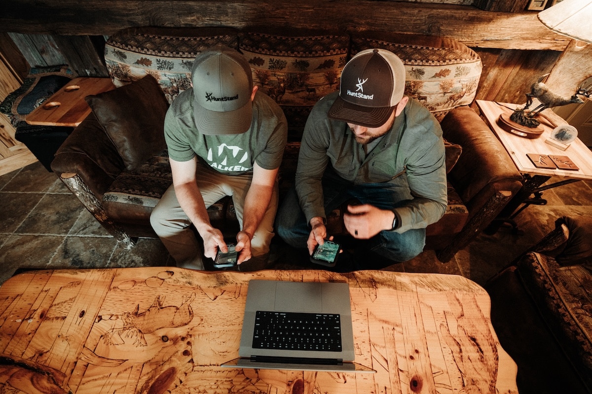
Collaborate with hunting buddies and make the most of the scouting process.
4. Locating Key Topographic Features That Create the X
Properties that offer increased hunt-ability tend to produce more trophy whitetails. An increase in condensed deer activity can maximize deer sightings and encounters with specific target bucks. These locations allow hunters to get in and out without alerting deer, funnel deer past key stand locations, and produce regular encounters as deer move to and from bedding areas, food sources, and water sources. Various layers are used to help identify the hunt-ability of a property, and where best to capitalize on this characteristic.
5. Seeing Important Color-Coded Habitat Features
Various HuntStand layers, such as Satellite, National Aerial Imagery, and more, allow app users to see important color-coded habitat features. For example, it’s easier to differentiate between conifers and hardwoods, which reveals edge habitat, thermal bedding cover, potential food sources, etc.
Furthermore, tree species tend to turn specific colors in fall. For example, red oak leaves tend to be crimson or rust color. White oak leaves regularly turn a brownish-red hue. Pecan leaves turn a yellow gold. These are but a few examples, but hunters can help identify potential whitetail feed trees with leaf color change. Look for these in HuntStand layers, especially the Monthly Update feature.
6. Observing Potential Past and Current Crop Rotations
Crops play major roles in whitetail bedding cover, but especially food sources. Understanding the relationship between crops and whitetails is a prerequisite to successful deer hunting. Thus, comparing past crop locations to those same years’ sightings, harvests, and trail cam info, can help predict future deer behavior. Anticipating crop locations this season aids in scouting and planning for the upcoming season. Use HuntStand’s Crop History and Monthly Update layers to scout in this manner.
Why Deer Hunters Shouldn’t Manage for Genetics (and Other Deer Facts)
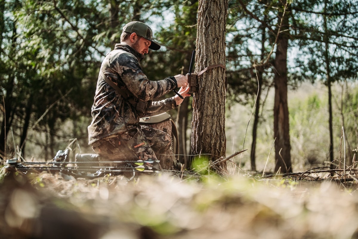
Deploying cells cams is easier, and more effective, with HuntStand.
7. Choosing the Best Spots for Cell Cams
Deploying trail cameras isn’t a short process. It takes time. When you have five, 10, 15, 20, or more units, the camera-hanging process can be a very time-consuming event. By scouting via app, and pre-selecting camera locations, it shortens the time needed in the field to post these sentries.
8. Studying Integrated Cell Cam Details
With the integration of the Command Pro and HuntStand apps, it’s clear just how beneficial, and powerful, these two apps are when paired together. Muddy and Stealth Cam cell cameras are managed using the Command Pro app, thus making these cell cams even more effective. When integrated into HuntStand, these cameras appear in your Hunt Areas via GPS location, import all trail camera photos to these locations, provide detailed trail cam assessments, and more. It’s a great way to further analyze all-important trail camera intel.
9. Pouring Over Historical Scouting Knowledge
With an extensive compilation of dropped scouting pins (markers), it’s beneficial to pour over historical scouting knowledge. This allows hunters to study all prior scouting finds, of which many might be applicable to future hunts.
Wind Thermals and Deer Hunting
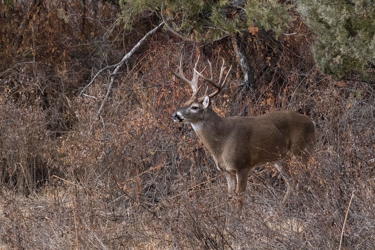
HuntStand assists with breaking down whitetail bedding areas.
10. Breaking Down a Bedding Area
Whitetails bed in specific locations that offer security from hunters, predators, and the elements. When deer find locations that shield them from the aforementioned threats, they in turn spend more time there. Fortunately, various habitat- and topography-centric layers can help deer hunters weed out non-bedding areas and find these all-important bedding locations.
11. Time Oak Species Shifts
HuntStand provides a “Notes” section under each dropped Marker. This allows for extensive scouting notes, accrued knowledge, and recording important details you shouldn’t forget. When scouting in the field, drop a pin that identifies it as a mast tree, and use a color that indicates the species.
Then, for red and white oaks, which have numerous members within each family, it’s crucial to label these with the exact subspecies. This is for multiple reasons, including that each subspecies of oak tends to drop their acorns at slightly different times. Therefore, when you know the Shumard red oak, swamp white oak, or any other species is dropping, you can time hunts in sensitive hunting areas without actually visiting in person to confirm acorns are falling.
12. Anticipating and Predicting Deer Pattern Shifts
Whether you have a good understanding of your hunt area or not, HuntStand helps anticipate important deer pattern shifts. Predicting when a buck moves from one bedding area, food source, or behavior to another is very weaponizeable knowledge. This allows you to strike with your first sit and be highly effective in doing so. By studying various HuntStand layers and tools, as well as dropped markers and scouting notes, gauge when deer will shift to new locations. Be there when they do.
Finding the Best Rut Hunting Spots with HuntStand Ultimate
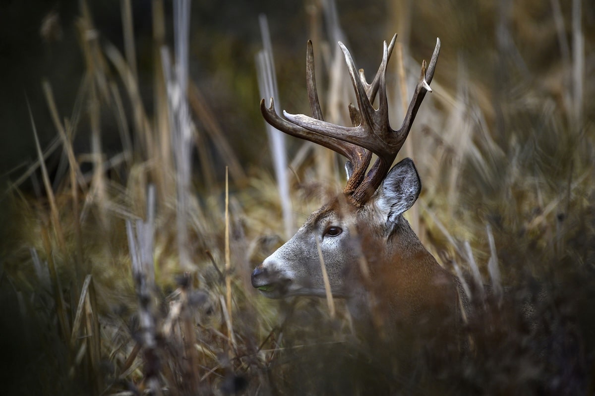
Use the app to study whitetail travel routes.
13. Choosing the Right Travel Routes
Oftentimes, whitetail travel routes are visible from aerial maps. This is especially true with grasslands, crop fields, and other early successional habitat types. Thus, hunters can scout from above and choose potential deer travel routes to hunt over. Furthermore, even when not directly physically visible, hunters can drop pins for bedding areas and food sources, and connect the dots.
14. Finding Newly Created Early Successional Habitat
Deer thrive on early successional plant life. This stage of plant succession provides vital bedding areas, but more importantly, food sources. Deer are concentrate selectors, meaning they eat the best parts of the best plants. When highly palatable food sources aren’t available, deer suffer, or move on.
Fortunately, HuntStand is capable of finding early successional habitat. Plant succession stages look very different from one to the next, of which is noticeable via satellite imagery. Use HuntStand’s Monthly Update layer for more recent changes to the landscape, such as clear-cuts, selective timber harvests, controlled burns, and more.
15. Recording Scouting Discoveries in the Field
In-the-field scouting is a multi-faceted process. See a track, trail, dropping, rub, scrape, bed, or other key sign? Drop pins, leave notes, and move on to the next discovery. Recording these scouting discoveries in the field is a beneficial step in learn how deer use a given property.
How to Manage Deer Hunting Land with HuntStand
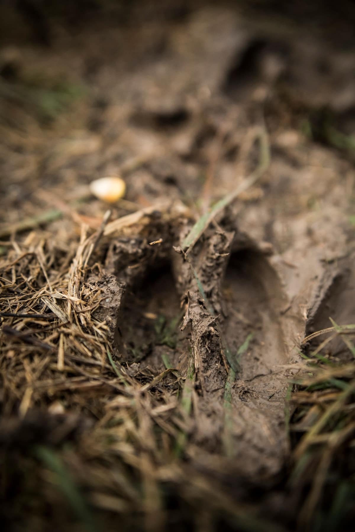
Keep track of the landscape's trail network for a better understanding of how deer move from point A to B.
16. Charting Every Trail on the Property
The network of trails on a tract of ground is the equivalent to road networks in a town or county. Smaller trails lead out of bedding areas (homes) connect to larger roadways (primary travel routes), and lead to other important areas (food and water sources). By turning on HuntStand’s Trace Path feature, and walking each trail on the property, hunters can see the entire trail network on the landscape.
17. Determining a Spot’s Best Time to Hunt
Whitetails operate on short-, mid-, and long-term patterns. A short-term pattern might be a one-, two-, or three-day pattern around deer visiting a small producing persimmon tree. A mid-term pattern could be a deer visiting a small micro food plot for a one- to three-week span until it’s browsed down to the nub. A long-term pattern could be a deer herd frequenting a standing soybean or cut corn fields for two or three months until all food is gone.
Regardless, every location has a best time to hunt. With the help of HuntStand, and some in-the-field scouting, it’s much easier to determine when these times are. Then, you can maximize the effectiveness of each planned hunt. Hunt each location at its peak.
18. Timing a Rut Hunt Perfectly
Hunting the rut can be a highly variable thing. You’re either in the thick of the action, or not in it at all. Rarely do you find middle ground. That said, HuntStand’s Nationwide Rut Map is a great asset for timing a rut hunt. With rut data for virtually every U.S. county in the whitetail’s range, this tool provides county-specific rut timelines derived from localized research. This is used to produce peak activity windows for the pre-rut, peak rut, waning rut, pre-second rut, and second rut. Generally, these are seven- to 14-day windows, data depending.
HuntStand’s Guide to Post-Season Scouting for Deer
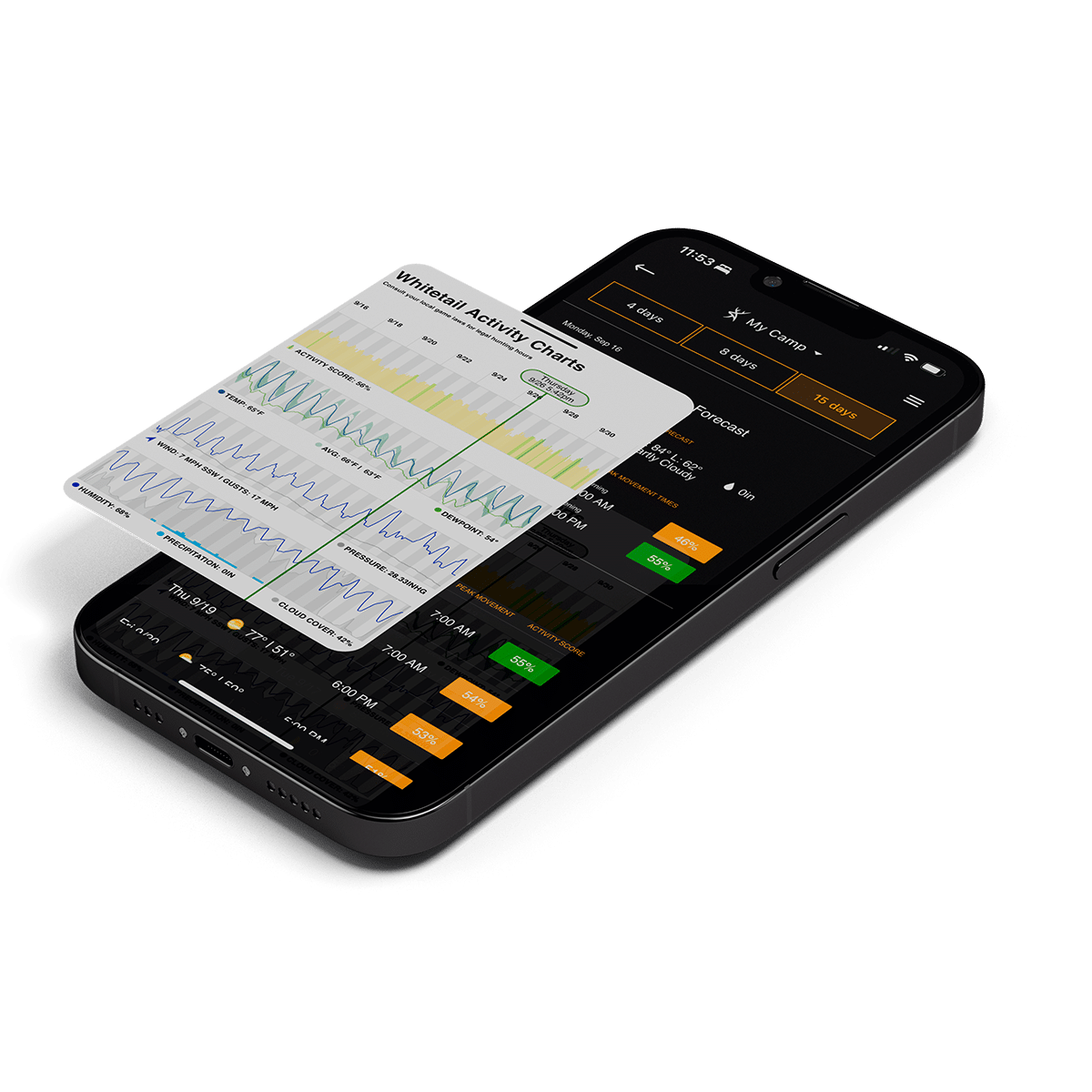
Benefit from the Whitetail Activity Forecast, among other powerful tools.
19. Studying Intuitive Whitetail Activity Projections and Reports
With a highly accurate, Whitetail Activity Forecast, HuntStand provides Ultimate users with four-, eight-, and 15-day forecasts. Benefit from valuable weather data, peak movement times, activity percentages, activity charts, and more.
20. Homing in on Core Areas
Whitetails have home ranges and core areas. With HuntStand, integrated trail cameras, and a history of scouting notes, it’s easier to identify these locations. Of course, considering the bedding areas, food sources, water sources, etc., these tools home in on the spots to focus on.
21. Pinpointing Key Escape Routes from Neighboring Properties
Peak hunting days tend to produce high-pressure hunting situations. As a result, deer get pushed around. Some hunters lament this. Others benefit from it. With HuntStand, you can study where other hunters might be, both on public and neighboring private tracts, and pinpoint key escape routes from neighboring areas into your own. Rifle seasons, muzzleloader hunts, and popular crossbow days are viable for this tactic, but opening days and weekend of archery events can be, too.
22. Setting Up a Just-Off-Wind Buck Hunt
One of the best tactics for targeting mature whitetails is implementing the just-off wind approach. Older whitetails learn to trust their nose, meaning they bed and travel in a manner that allows them to detect danger from expected or potential danger directions. Oftentimes, that leads to a buck traveling with the wind quartering or straight into its nose.
Hunters can take advantage of this by setting up locations where deer think the wind is advantageous for them. However, the wind direction is just off enough that there’s slight separation between a deer’s line of movement and the edge of the hunter’s scent cone.
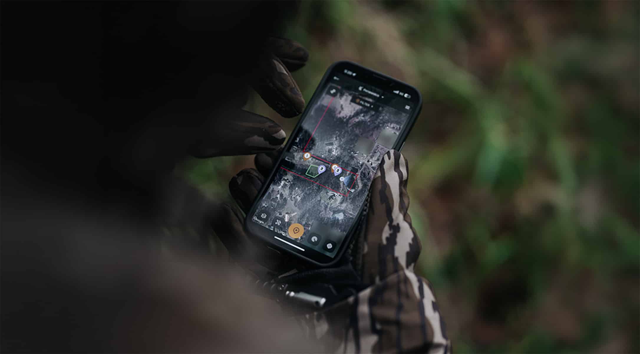
Upgrade to HunStand Ultimate for even more assets.
Upgrade to HuntStand Ultimate
Those who currently use the free version of HuntStand or HuntStand Pro, might consider leveling up with HuntStand Ultimate. With all of the available tools, it’s a no-brainer for serious deer hunters. Benefit from the next-level HuntStand tips for advanced deer hunters.