




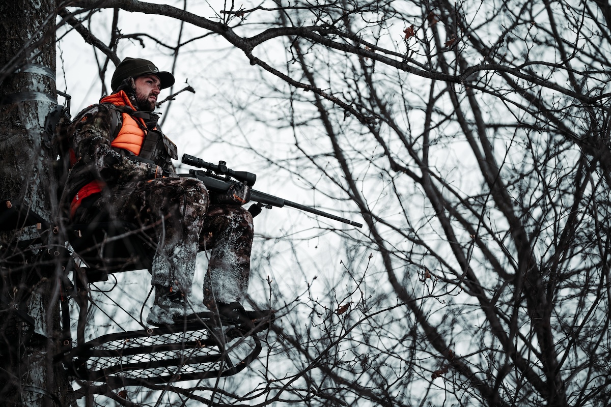

During the rut, most of the locations noted in the article can be good all day long. Put in your time and hunt all day, if possible.
From suburban woodlots to river bottoms on the Great Plains to the western foothills, there are lots of places to hunt whitetails, and the rut is arguably the most exciting time to burn a week’s vacation in the deer woods. For the first time all season, bucks are finally susceptible to making a mistake or two because they’re moving a lot more and are slightly numbed by the need to breed.
While being in a tree anywhere could get you a crack at a mature buck, consistent rut success is a function of hunting key stand locations where a hot doe bringing a buck through isn’t a one-off occurrence. There are spots in the whitetail woods where this scenario is very likely to play out — maybe even multiple times — during the rut.
By the way, it’s go-time right now across most of the country, and if you want to make the most of the rut, find the following best rut hunting spots and spend as much time in them as possible.

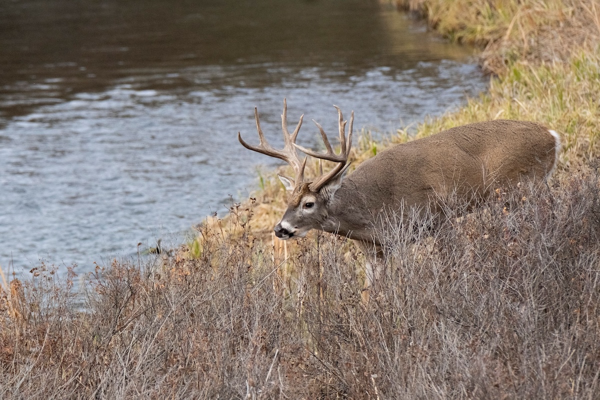
Riparian habitat makes for excellent hunting all season long, but during the rut, buckle down on travel corridors and terrain funnels along creeks or rivers.
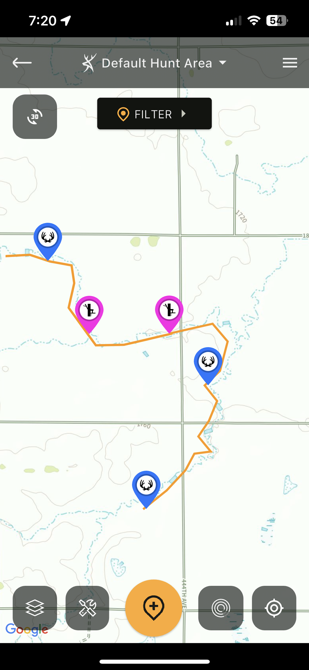
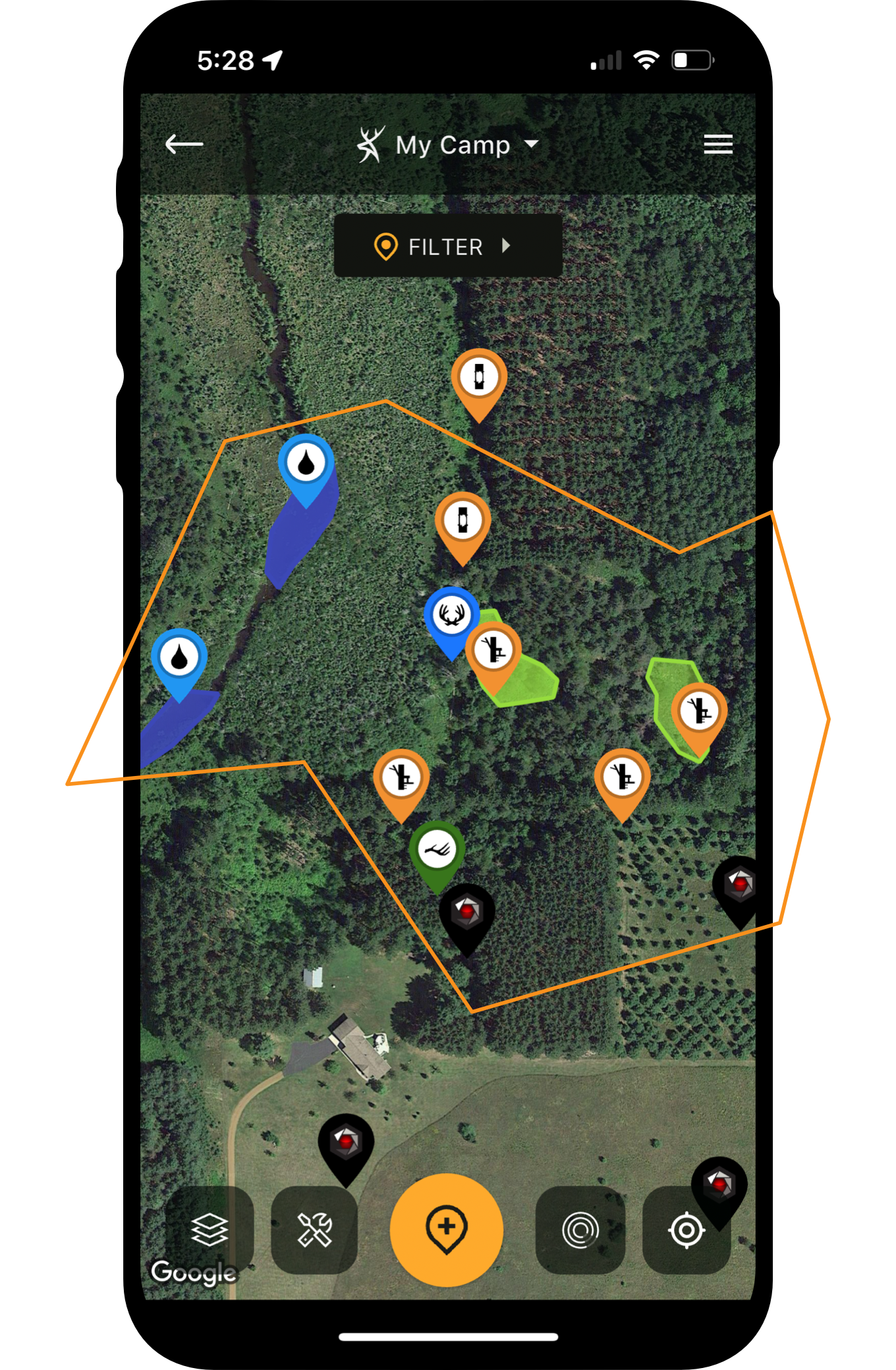
The Natural Atlas base map makes it easy to peg such areas.
1. Riparian Travel Corridors
Most good whitetail hunting exists within the vicinity of a water source. Riparian habitat, in particular, is a whitetail magnet. A creek or river and the low-lying ground surrounding it is highly attractive to whitetails. Not only do the deer have all the water they need, but riparian habitat offers exceptional cover and natural travel corridors, too.
Whitetails travel riparian habitat any time of the season, but bucks travel it more frequently during the pre-rut, the early peak rut, and the waning rut (for several reasons). First, this habitat is home to many deer, so bucks know they’ll find does up and down the creek or river. Second, they can travel the deer trail that parallels the river, which allows them to cross multiple trails that intersect the main trail. Rutting bucks naturally cruise up and down a creek or river any time of the day during the rut.
You can identify riparian habitats using HuntStand’s satellite-based maps, but finding creeks and rivers is even easier with the Natural Atlas or Quad Topo base maps. These two are white with the water sources being blue. On the Natural Atlas, terrain features are shown in conventional topographical lines with the elevations printed alongside them, while the Quad Topo map provides terrain bump outs so that you can quickly identify terrain features.
Using these different base maps, try to identify terrain that constricts deer traffic down to 30 yards or less (farther is OK for firearm hunting). When you go in to hang a stand and hunt, don’t worry if you find no rubs and scrapes. If there is a deer trail and deer are in the area, it’s almost a given that bucks will cruise that trail at some point during the seeking and chasing phases. Find two to three spots with terrain funnels for different wind directions along a creek or river, then put in your time.
Master the Whitetail Rut [HuntClass]
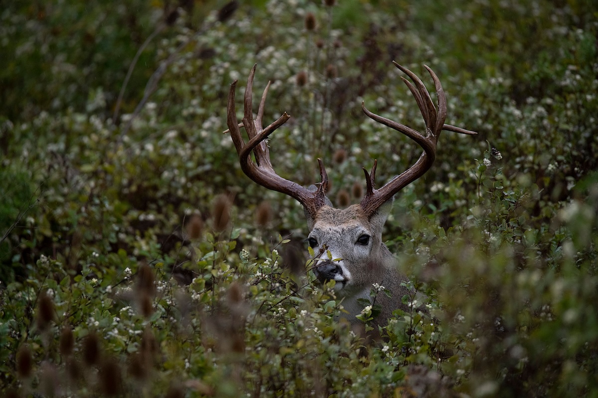
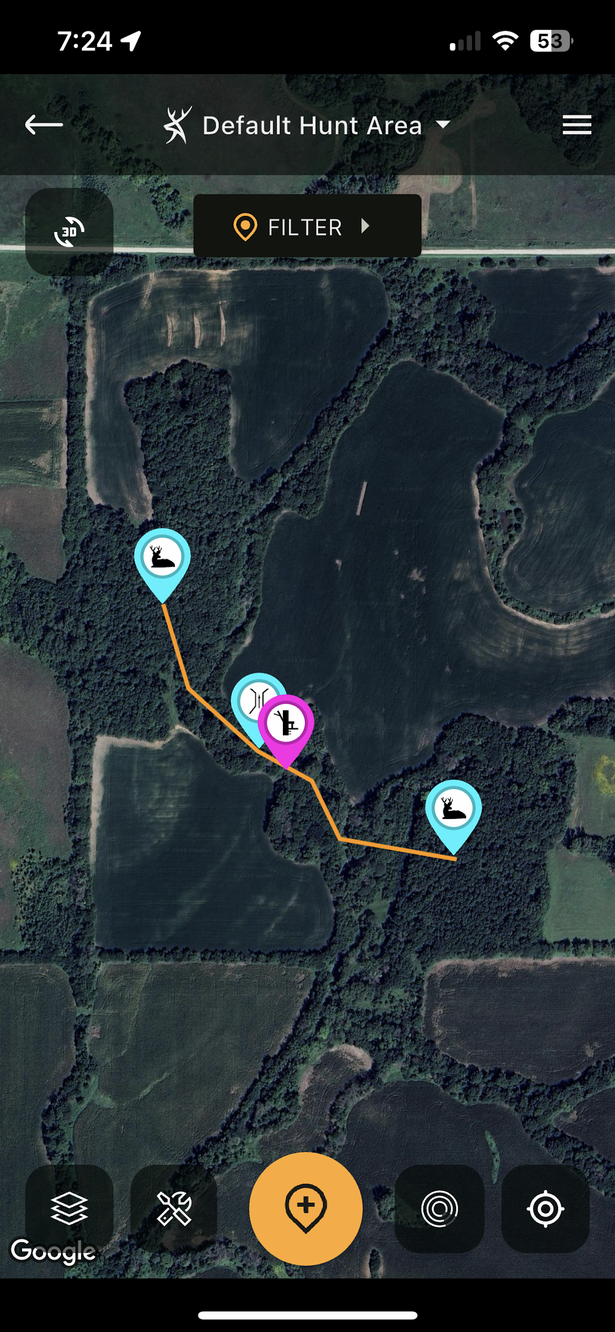
Hourglass funnels that connect bedding areas have long been a favorite of successful rut hunters.
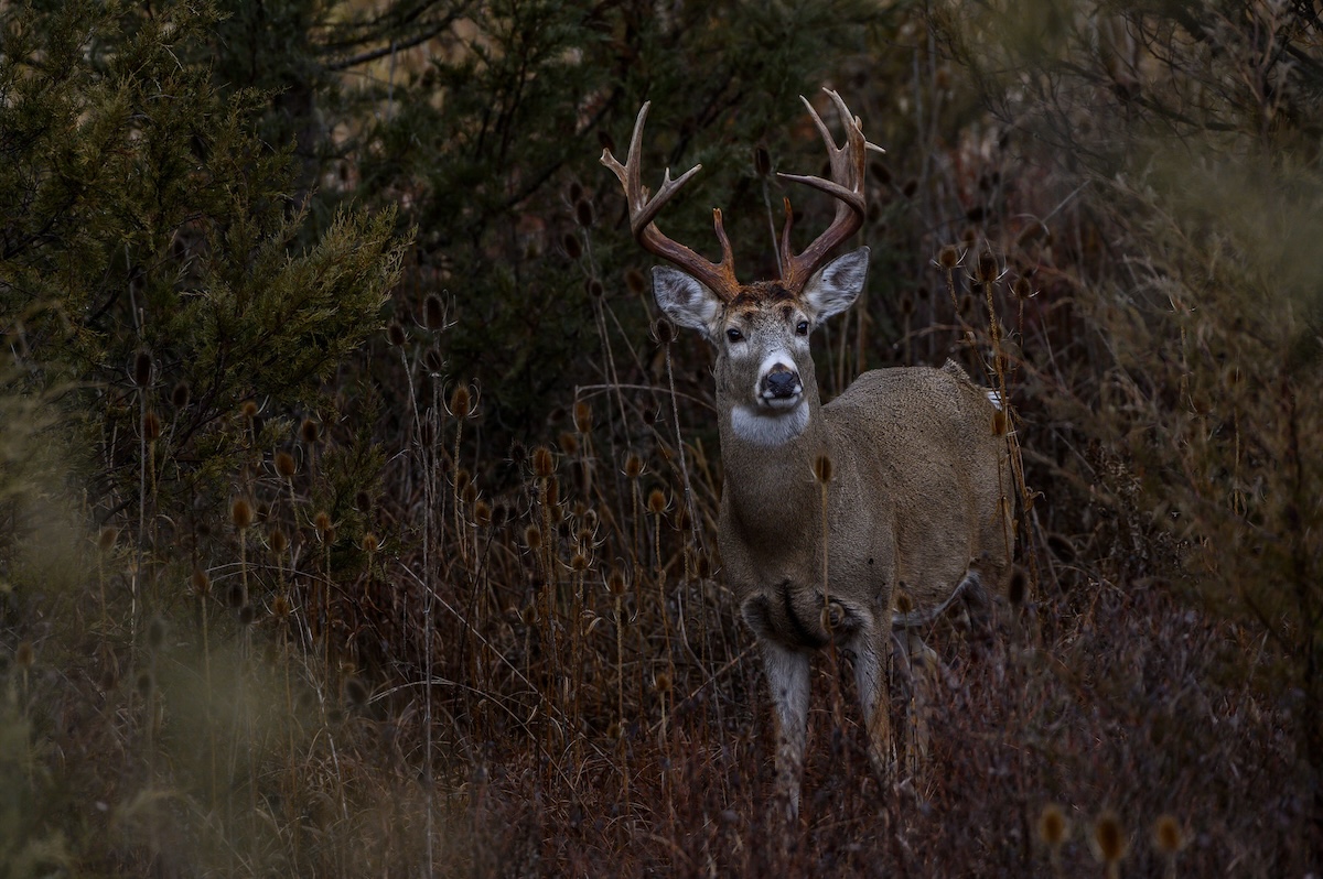
Put your time in here, and you could encounter a buck anytime of the day.
2. Hourglass Funnels
While e-scouting for rut spots, pay special attention to sizable blocks of timber that are separated by nothing more than a narrow strip of trees or even tall grass or cattails. Timber blocks typically offer bedding cover, and bucks bounce from bedding area to bedding area in search of hot does. However, they don’t like to entirely expose themselves by running across open ground. A strip that offers a little bit of security and connects the two timber blocks is a great funnel stand for the entire rut.
Other places where such opportunities occur are marshes and swamps. Two separate islands of timber surrounded by open, wet habitat, but connected by a narrow strip of dry ground, could facilitate lots of deer activity. It’s a great stand location. Access is usually a bit more of a hassle in such areas — bring your knee boots or waders — but the effort could pay off. To simplify things, mark out an access path from your parking area to your stand location. Reference the Hunt Area on the way to your stand, especially in the dark prior to a morning hunt, to stay on track and easily find your way.
Ridges and the benches and saddles that surround them can be hot bets for intercepting a cruising buck.
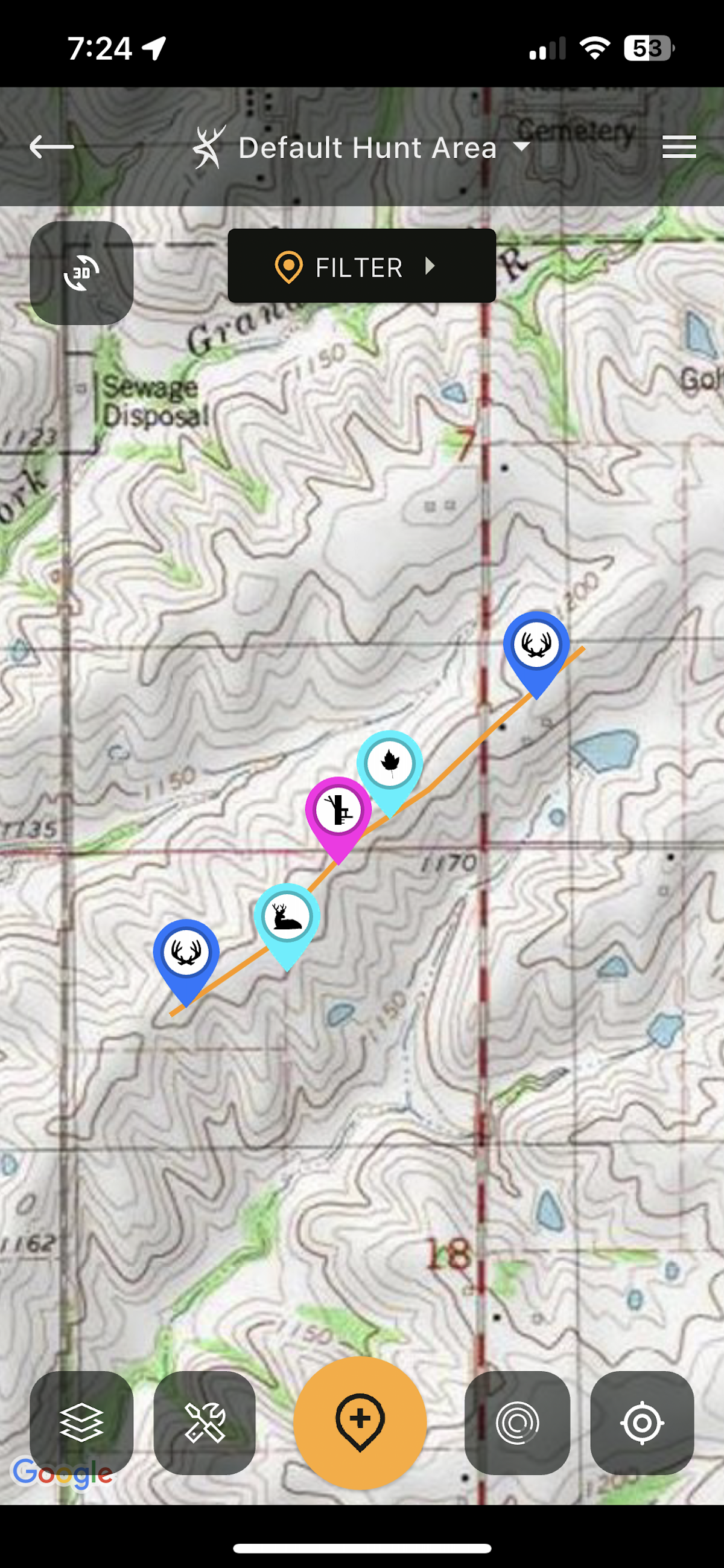
The Quad Topo and Terrain maps are your best bets for identifying these. In extreme terrain, reference the 3D feature for a slightly different perspective.
3. Ridges, Benches, and Saddles in the Timber
In timbered habitats, never overlook ridges or benches that lie below them. Ridges and benches are buck thoroughfares during the rut, and the presence of acorns only fuels the fire because bucks know they’ll intercept does feeding in the area. On wider ridges, try to identify the narrowest point, which will neck down deer traffic to a tighter area. Or, look for a saddle between two ridges.
The tricky part with timbered ridges and benches is that deer also like to bed on them. This means that you probably don’t want to scout them a day or two before hunting — you’ll blow the deer out. Either scout in advance during the spring, or simply go for a morning hang-and-hunt outing.
In rolling terrain, you can identify ridges, benches, and saddles on HuntStand Pro Whitetail using the Terrain or Quad Topo base maps. These base maps will also work in steeper terrain, but you also might find the 3D feature highly useful to gain a virtual perspective of specific ridges (almost as if you were standing on them).
Whitetail Rut Deer Hunting Guide with HuntStand Pro Whitetail
Ditches can facilitate buck traffic in a predictable way. Often, the best place to hunt is at the top of the ditch where bucks go around it to avoid a steep drop-off. This is also where the wind will be the most consistent.
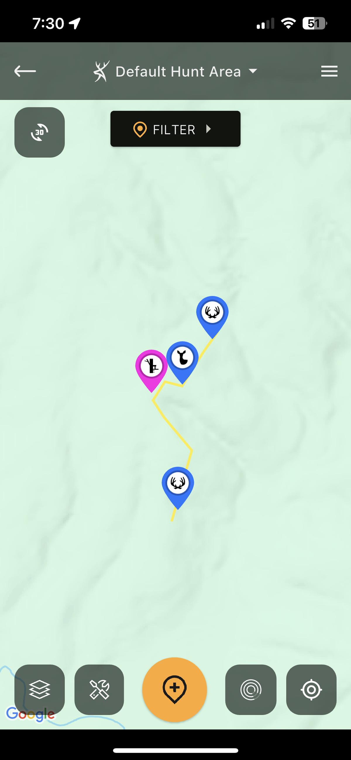
The Terrain and Quad Topo maps can help you identify them.
4. Ditches
HuntStand ambassador, Bill Winke, has long preached that ditches are dynamite places to intercept cruising bucks. Whitetails don’t like to cruise through difficult terrain or tangled foliage on a daily basis. They often resort to that when spooked, but a normal daily routine for deer is to travel easier routes. In terms of ditches, a buck won’t often traverse a steep bank all the way to the bottom and then climb back up the other side. Instead, he’ll find a place where the ditch becomes gentler and flatter, or he’ll swing around the top or bottom of the ditch where it terminates.
Of these three potential places, the best place is often at the top of the ditch, where the wind is the most predictable. In case you don’t know, terrain features tend to make winds swirly and unpredictable, plus thermals cause our scent to fall in the cooler parts of the day and rise during the warmer parts of the day, especially when the sun heats up the slope. That being said, focus on the ditch’s upper end, especially if a deer trail is present.
Ditches also occur on flatter ground due to erosion, or in the form of dry creek beds. In these locations, deer again will almost always avoid the extremely steep parts of the ditch and instead cross in places where the ditch is more navigable. As far as finding ditches, the Terrain and Quad Topo base maps are effective. Remember that a ditch is only as good as its location. In other words, deer need a reason to be in that area. Look for adjacent bedding cover using a satellite base map and food sources using the Crop History map.
If you’re hunting on public land, remember that most other hunters will focus on or near a food source, which imposes pressure on those areas. Ditches, on the other hand, don’t always get a second look.
Bucks often swing downwind of bedding areas to scent-check them for estrus does.
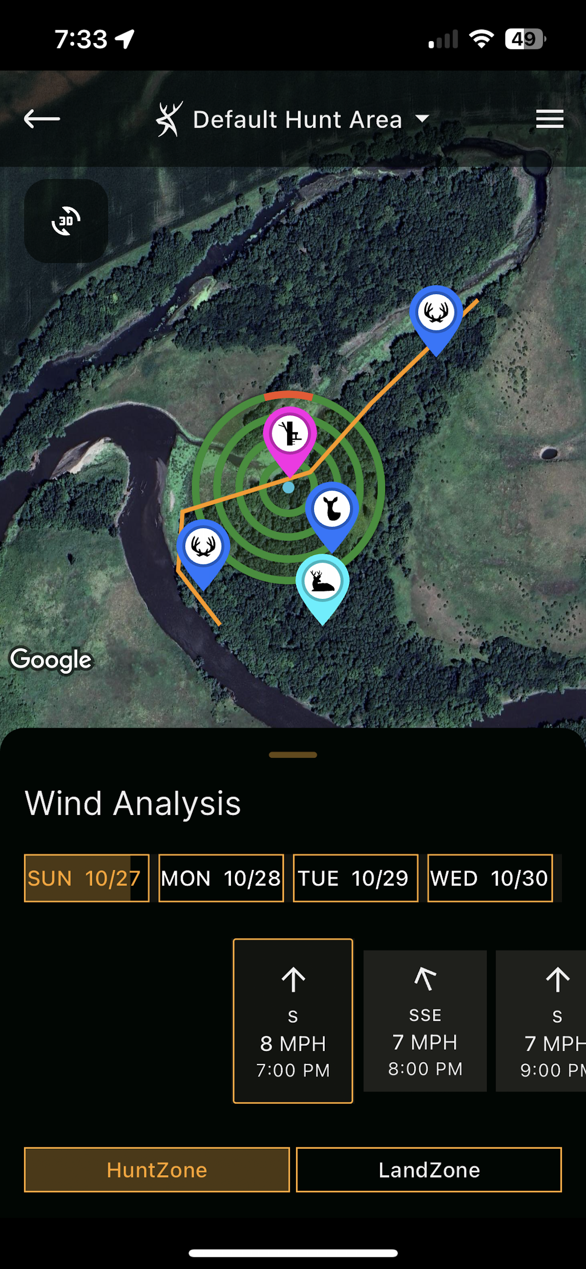
Find a block of timber or another thick area using the Hybrid map, and then reference HuntZone to ensure that bucks traveling downwind of the bedding will miss your downwind airstream.
5. Bedding Areas
During the pre rut, buck bedding areas can be dynamite. If you scouted in the spring, these were the thick areas you found with rubs in them. Always hunt the downwind edge and reference the HuntZone feature to determine how your scent will disperse. In the afternoons, penetrating the bedding area will spook bucks. So, get within 100 yards of the bedding area and set up. If nothing appears and it’s the last half hour of legal shooting light, try grunting, snort-wheezing, or even rattling to pull a buck out.
When hunting a bedding area in the morning during the pre rut, you often have the latitude of hunting directly in the bedding area because deer will be on or near food sources, but realize that this is an all-or-nothing play. The key is to get in there nice and early while the buck is still on a food source. Settle in and be silent. Try grunting and rattling every so often.
As the pre-rut transitions to the peak rut — reference the Nationwide Rut Map to identify these dates for your area — hunt doe bedding areas. If you have plenty of time to hunt, there is no sense in intruding on the bedding area itself. Have options to hunt the downwind edge regardless of the wind direction. Reference the HuntZone feature the morning of your hunt, and plan where to sit based on the wind. If you put in enough time, a buck is likely to cruise by as he scent-checks the bedding area.
Finding bedding areas is best done on foot in the spring, but you can make some predictions during the season using any of HuntStand Pro Whitetail’s satellite base maps. Look for areas that appear thick and where human disturbances are unlikely. In heavily timbered areas with some topography, use the Terrain base map and be attentive to ridges that give deer the prevailing wind advantage and a visual of the surrounding low-lying areas.
10 Deer Hunting Challenges to Overcome This Season
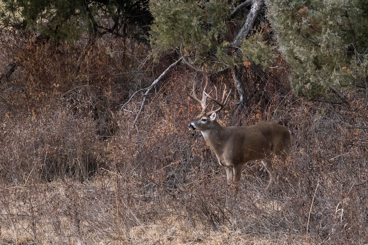
Isolated pockets of cover, such as this cattail slough, are where bucks often go to lockdown with does. Another idea is a thicket in otherwise wide-open habitat.
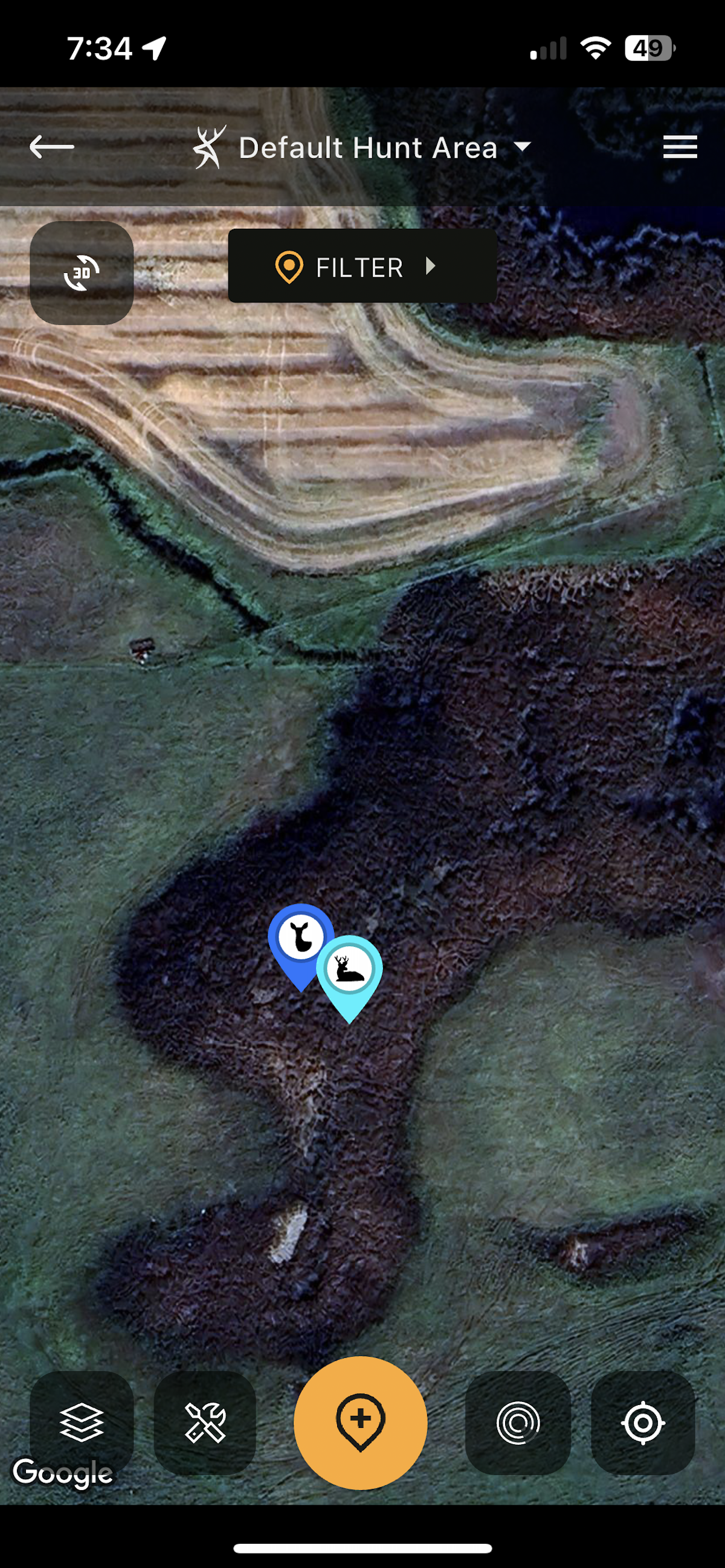
Look specifically for spots that constrict deer movement.
6. Isolated Thickets, Cattails, or Switchgrass
Late in the peak rut, when the most breeding activity transpires, always be attentive to isolated pockets of cover where a buck could likely hide out with a doe until she is ready to breed. These can be but are not limited to, thickets, cattails, switchgrass, and other random small cover pockets. Oftentimes, these are best hunted during the rut’s lockdown phase, and if there are no trees for a treestand, you’ll have to get creative and hunt from the ground. If it’s too thick to get a shot, don’t be afraid to issue a grunt or snort-wheeze to challenge a locked-down buck and bring him right into your lap.
With one of the satellite maps open, zoom in on your hunting area and look for thickets in otherwise open habitat. In states with cattail sloughs, the sloughs often border fields, lakes, and reservoirs. You can often identify cattails or tall switchgrass by zooming in tight and looking for obvious deer and beaver trails zigzagging erratically about.
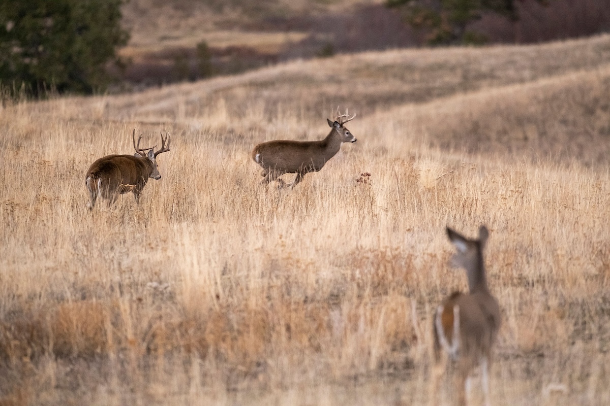
Wagon-wheel trail intersections are a great place to spend an entire day during the rut. Given high doe traffic, you’ll likely catch bucks cruising through, and the beauty is that they should swing by within shooting range.
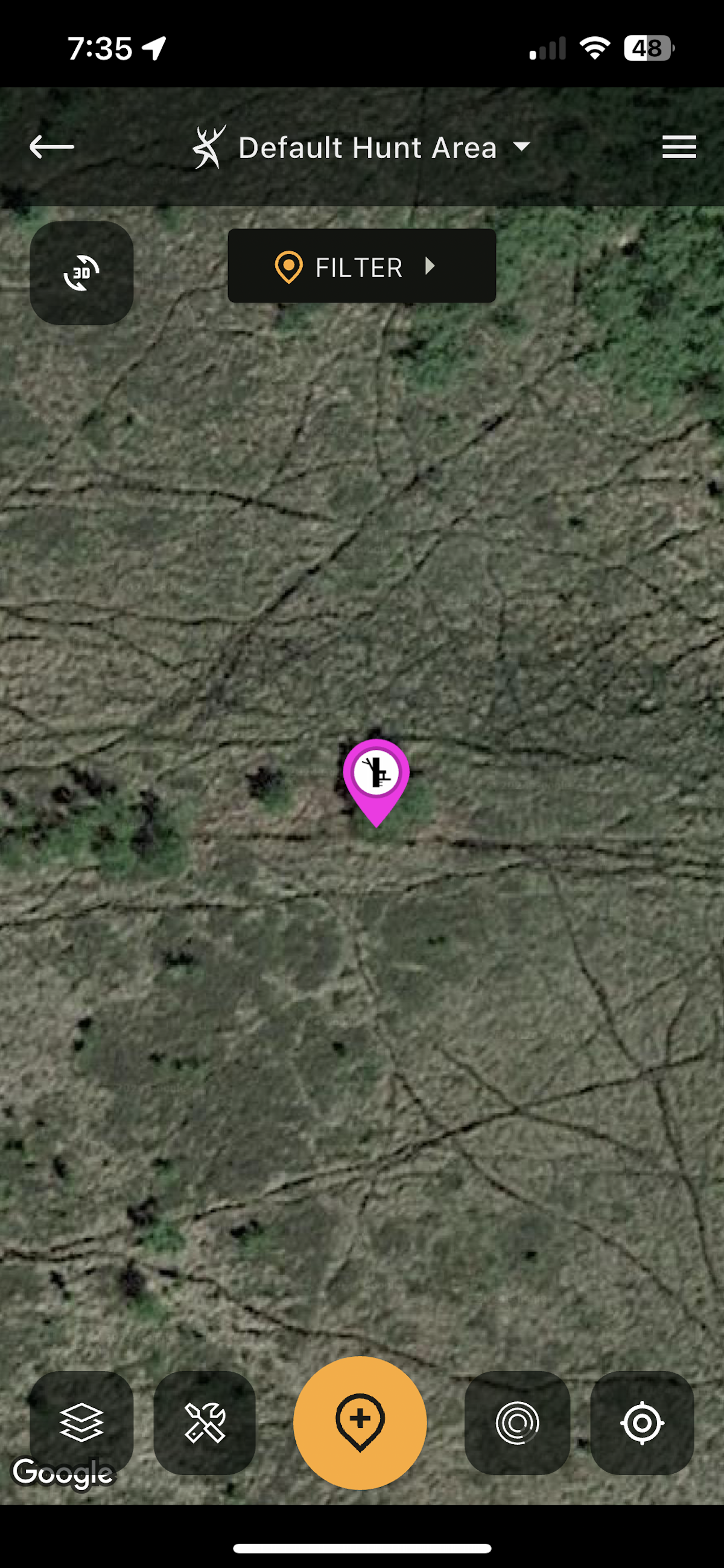
When bucks are locked down with does during the peak breeding rut phase, check out areas of tall grass and cattails.
7. Wagon-Wheel Trail Intersections
Some of the most productive spots to hunt during the rut involve a wagon-wheel intersection of two or more deer trails. Some such spots will be identifiable using HuntStand’s satellite base maps. In particular, these will be more open areas, such as pastures, tall grass, sloughs, etc. Zoom in and look for trails. In the timber, you won’t likely see them on the app, but you can use the app to make some predictions as to areas that will likely have intersections. Look for an island of timber amidst a swamp, or a single creek crossing where deer come from all directions in order to cross.
10 Ways to Use Trail Cameras That You Never Have Before
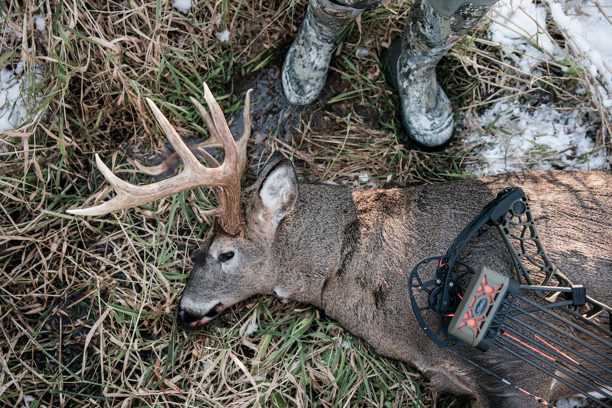
The rut spots noted herein are proven, and if you log some hours in any of them, you could get the opportunity you’re hoping for. (Image courtesy of Mathews Archery)
Conclusion
These are some of the most solid hunting locations for the rut. Regardless of which one you pick, always reference HuntZone to know what your wind will be doing during your hunt. Reference the Nationwide Rut Map in order to know what rut phase the deer in your area are in, and if you have limited time to hunt, put yourself out there when the activity score is highest in the Whitetail Activity Forecast feature. And good luck. The rut comes once a year, and folks, it’s here.
UPGRADE TO HUNTSTAND PRO WHITETAIL