





Don't tackle the backcountry without HuntStand. It's the app that has your back.
Hunters dream of the backcountry. You know, places where the places are even wilder than the game that lives there? These are the destinations that produce awe-inspiring memories that last lifetimes.
It comes as no surprise these destinations are also some of the most difficult places to hunt. Enter HuntStand. Perhaps the most powerful tool available to turkey hunters is their phone. Here are HuntStand app layers and tools for backcountry turkey hunting.

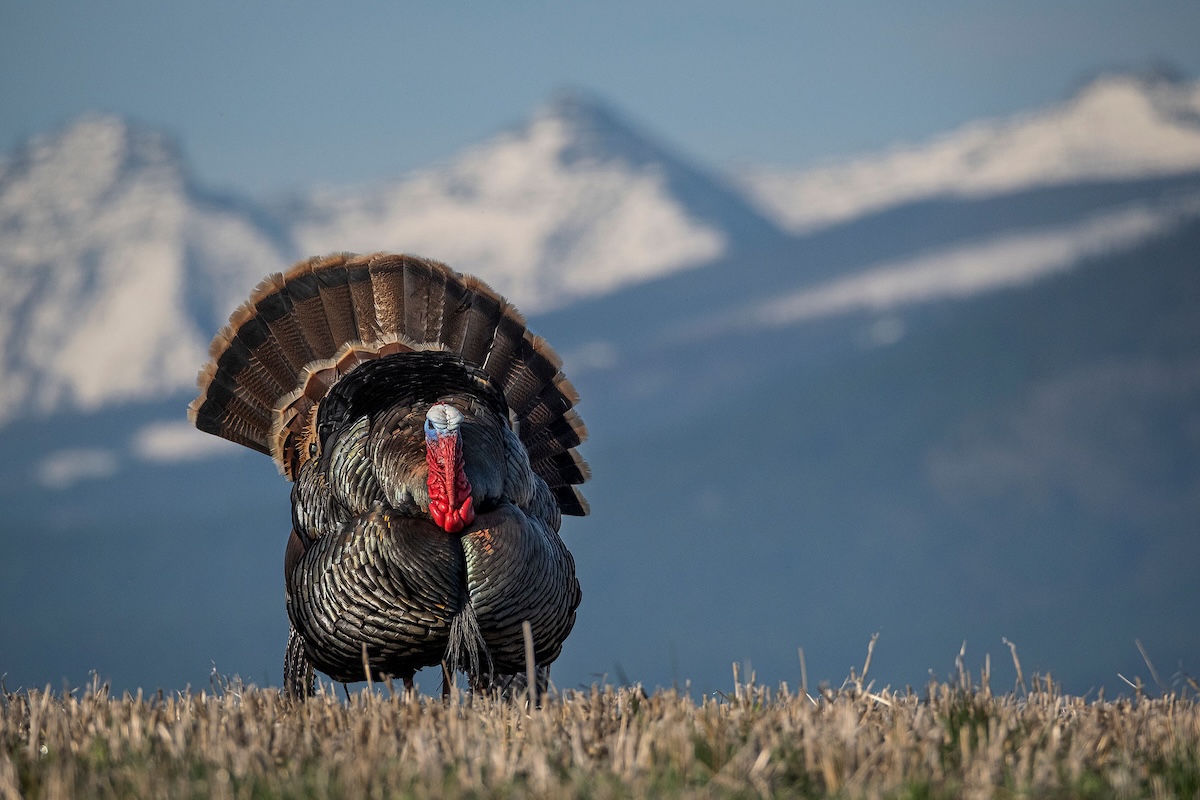
Mountain and hill country birds are tough to hunt.
HuntStand makes it easier to navigate challenging terrain.
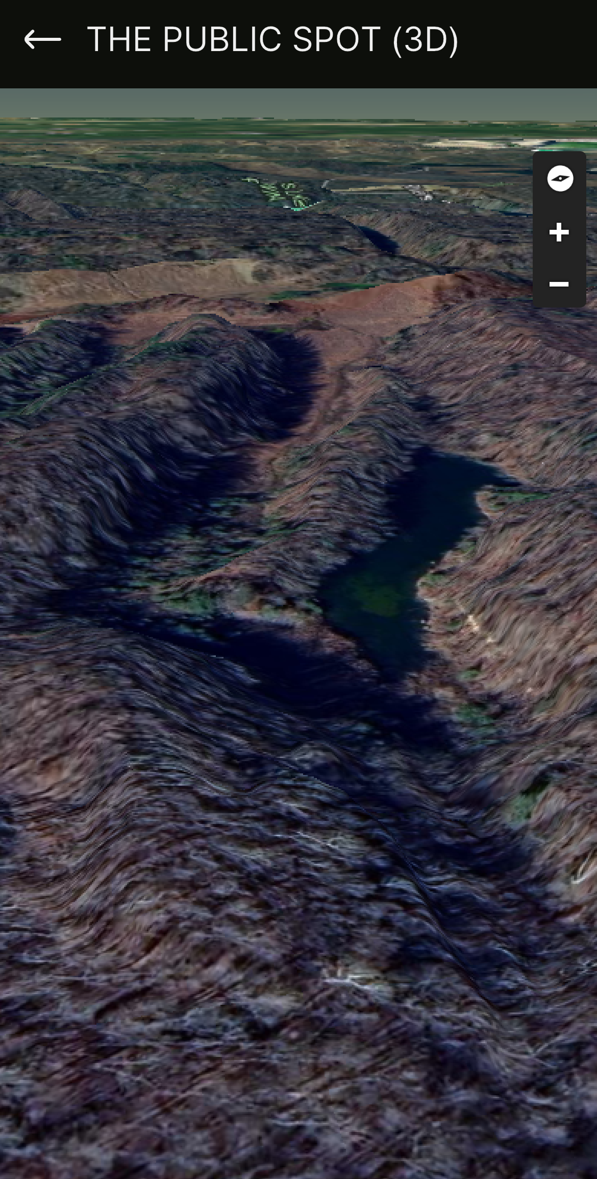
1. 3D Map: See a Realistic View of the Change in Topography
The 3D Map is the premier method for viewing hunting areas. This tool provides a realistic look at the landscape, effectively showcasing the habitat, terrain, and topography. It provides hunters with a great visualization of the property without being on it in person.
The more a hunter uses 3D to view a property, the more they’ll recognize the layout when finally walking it the first time. Oftentimes, hunters need time on property to learn it. That said, by spending time “walking” it with the 3D Map, hunters shorten that learning curve. Instead of feeling lost during that first walk, it can feel like the second, third, or fourth time you’ve been there.
From a turkey hunting perspective, and certainly from a backcountry outlook, this layer has significant impact. Every step is burned calories, and when hunting rougher terrain, hunters need to conserve energy. Thus, the 3D Map is excellent for pinpointing good turkey hunting spots, such as benches, ridges, meadows, and more. It’s also perfect for selecting routes in the field that are better for navigating challenging terrain.
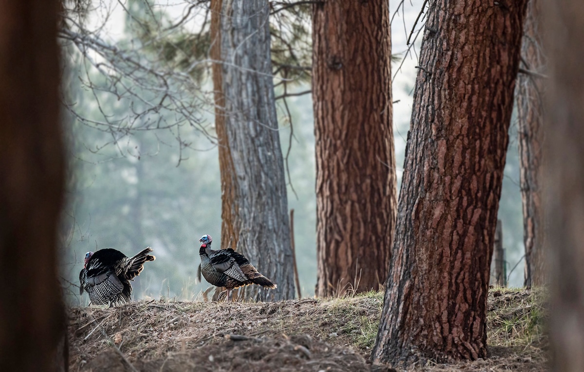
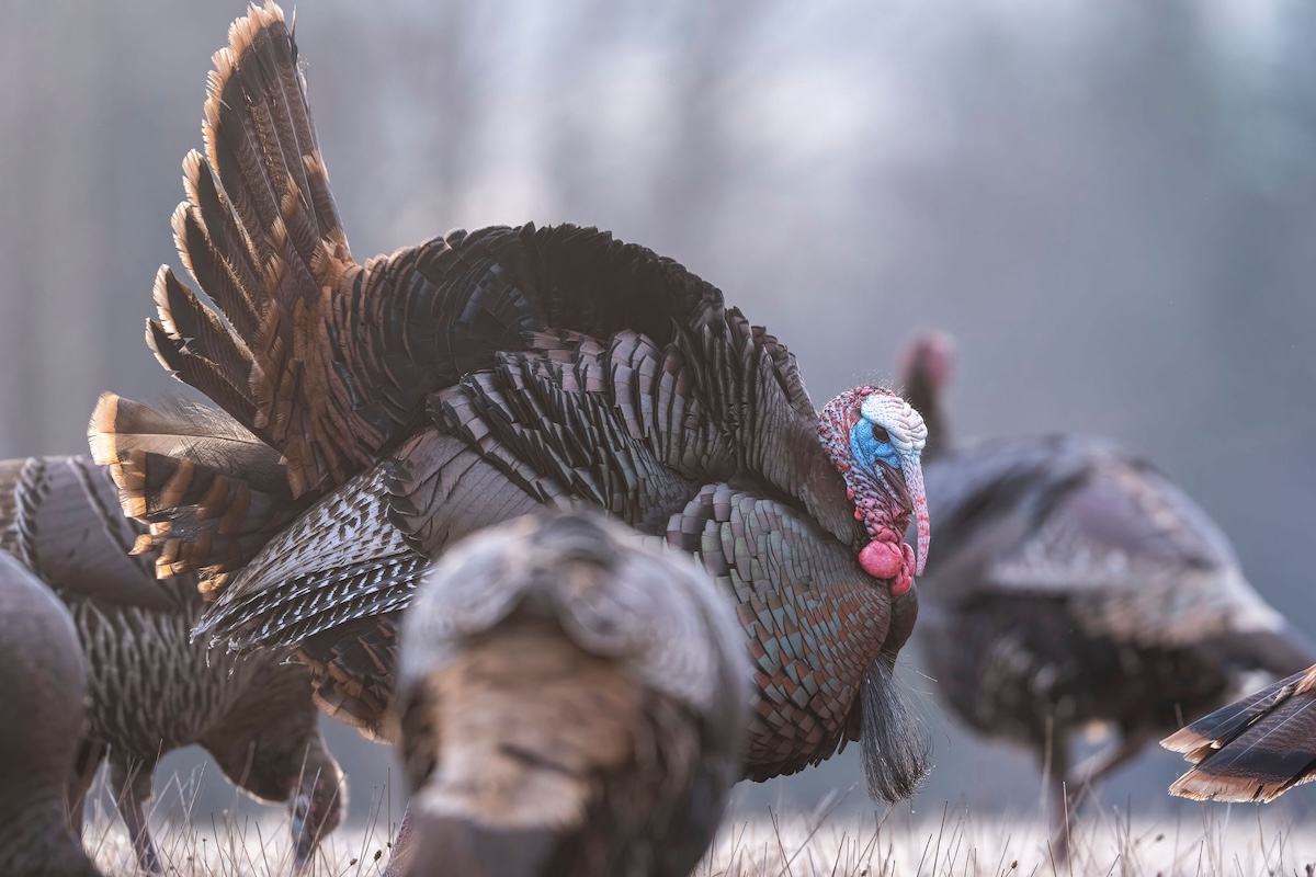
Topography matters, and it impacts how wild turkeys maneuver the landscape.
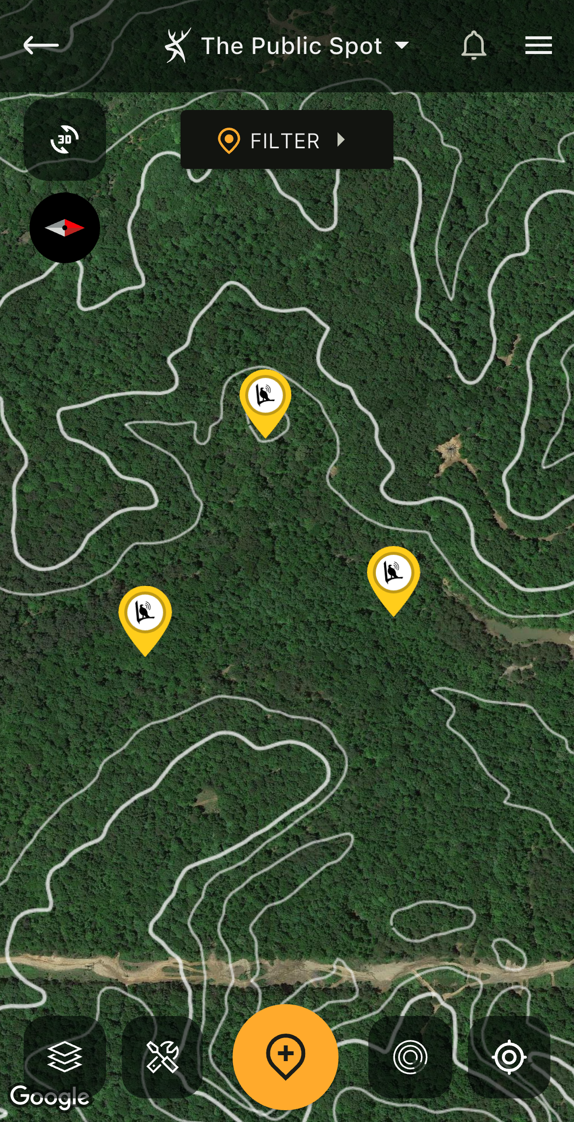
HuntStand's Contour tool displays topo lines over your layer of choice.
2. Contour: See the Lay of the Land and Topography Changes
Contour is a tool users can turn on with other aerial layers already displayed. It adds another element of info to the mapping view and provides details for topography while viewing things in an aerial format. This makes it possible to assess an area’s habitat and terrain simultaneously.
In the backcountry, this is important for numerous reasons. First, it allows hunters to quickly identify ideal turkey hunting spots, such as fields along ridge lines or meadows in bottomlands. Secondly, it reveals potential routes for easier walking, such as benches around steep ridges or logging roads through the hills. Third, it reveals the number of feet in elevation change, as 100 feet of change is vastly different than 300-400 feet of change (or more).
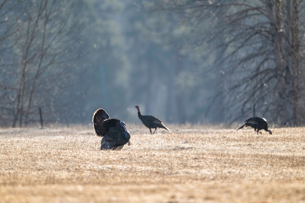
Hunters sometimes need to know distances for various scenarios.
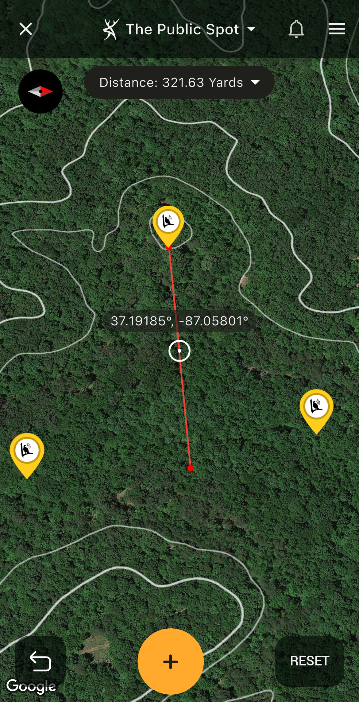
HuntStand shows important distances.
3. Distance Measurement: Know Exact Distances Before, During, and After the Hunt
Is it 100 or 1,000 yards across that valley? Is it 500 or 1,500 yards around that ridge bench? Is it 40 or 80 yards across that small clearing, of which you hope to cover with your turkey shotgun. Is it a 2- or 5-mile walk into that public tract?
These and more are examples of wondering what distances might be in the field. Fortunately, HuntStand’s Distance Measurement tool assists with this effort. Hunters can use it to determine how far two or more points are from one another. This aids in making many decisions, such as where to walk, how to set up, and much more.
Best Ways to Improve Your Land for Wild Turkeys
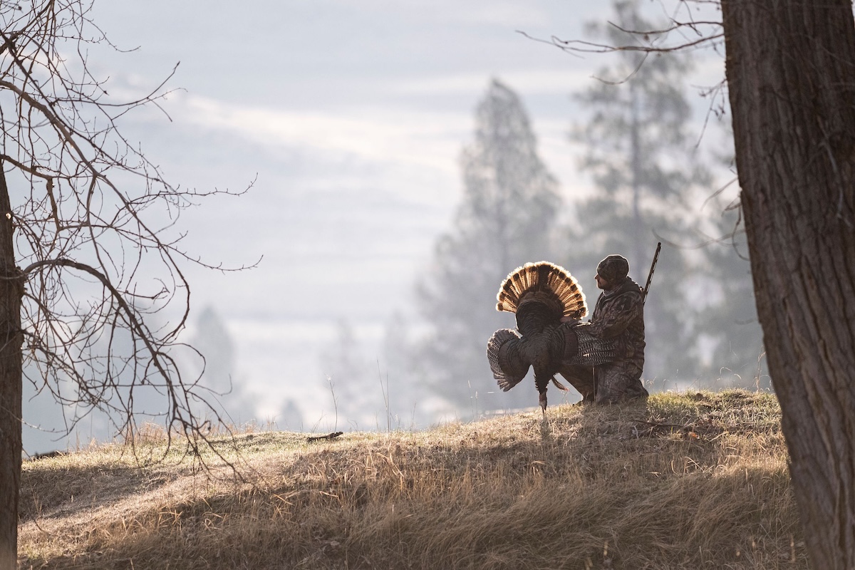
When hunters split up, it can be challenging to regroup quickly and efficiently.
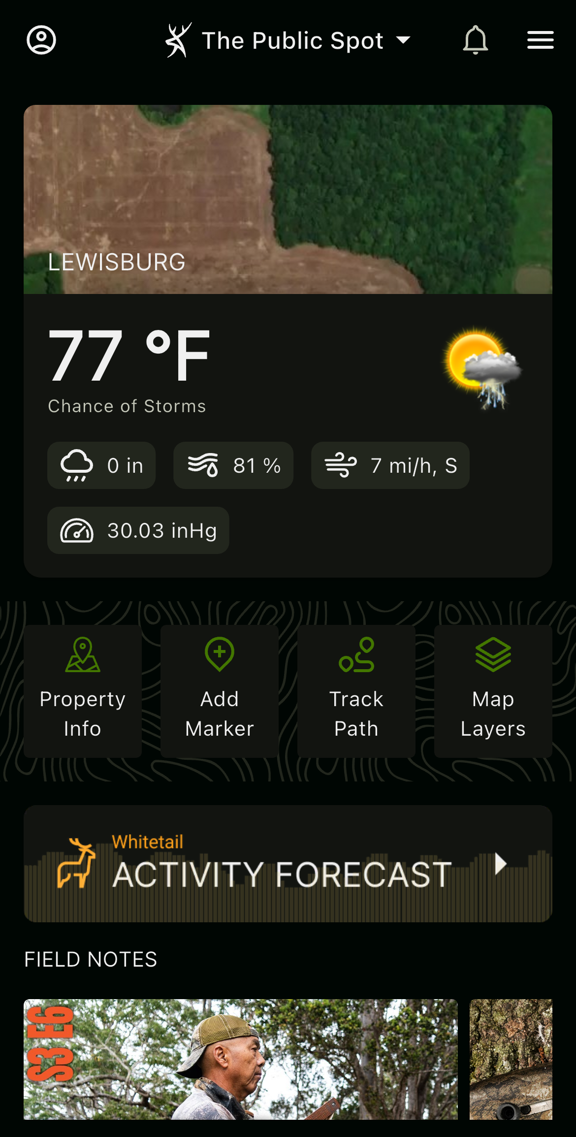
HuntStand offers a Friend Locator tool to keep track of other hunters in your crew.
4. Friend Locator: Keep Track of Everyone in Your Hunt Group
The backcountry can be unforgiving. Falls from steep terrain, twisted ankles amidst forest debris, encounters with dangerous predators, and more, bad things happen in the wilderness. Turkey hunters aren’t immune to accidents, and it’s easy to get lost in the backwoods.
In fact, if you have no means of communication (i.e.: unconscious), your odds of being found decrease significantly. But HuntStand offers a tool to combat that. The Friend Locator tool allows individuals to keep track of each other. It also allows loved ones to keep track of their hunters who are in the field. That provides peace of mind, and if something does happen, they’ll know where to find them.
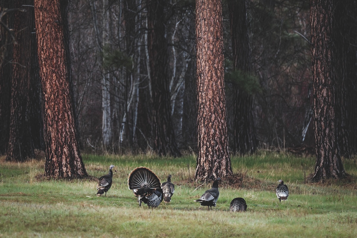
Wind impacts wild turkey behaviors.
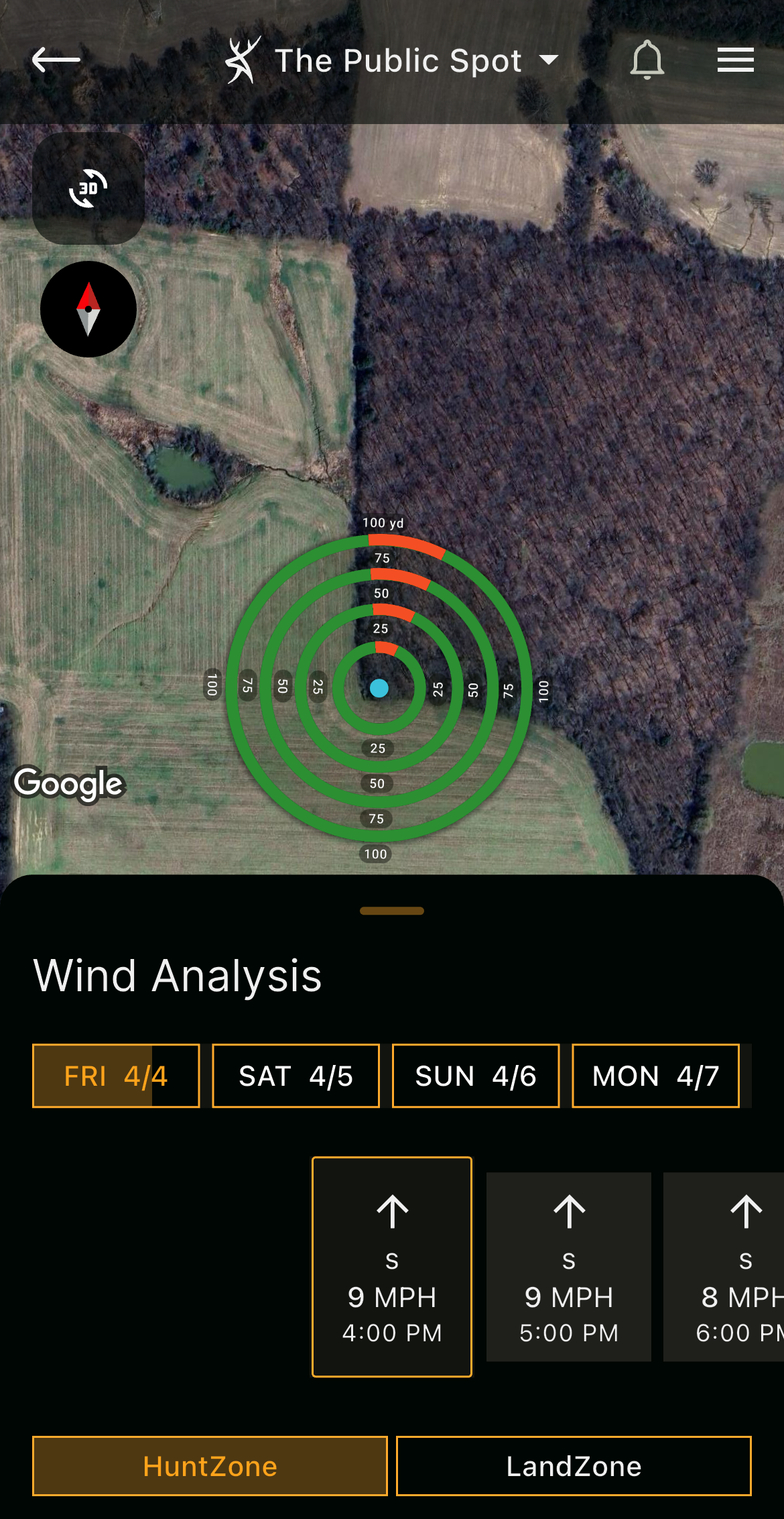
Use HuntZone to gauge where turkeys might roost, feed, travel, etc.
5. HuntZone: Gauge Where Turkeys Might be Roosted or Hanging Out to Avoid Wind
Wind doesn’t just apply to deer hunting and other big game. It also works for turkey hunting. Those who drive or hike well into the wilderness don’t want to waste time. They prefer efficiency throughout the hunt.
In certain circumstances, HuntZone helps achieve that. For example, maybe it’s windy, and birds are moving to a ravine with a ridge line that blocks the gusts. Perhaps they’re roosted way down on the leeward (downwind) side of a tall ridge to escape higher winds. Whatever the case, HuntZone helps find important locations for turkey hunting.
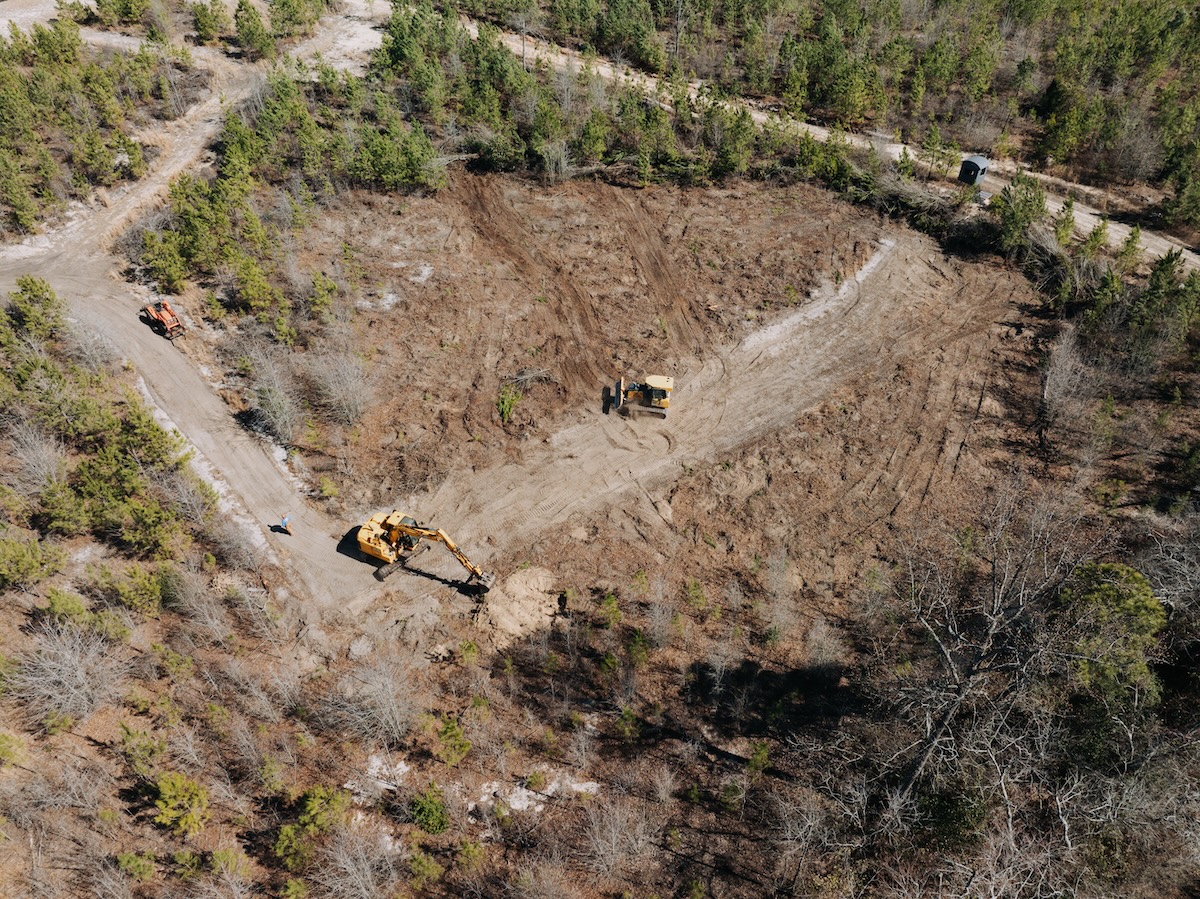
Some properties have internal road systems or public roads nearby.
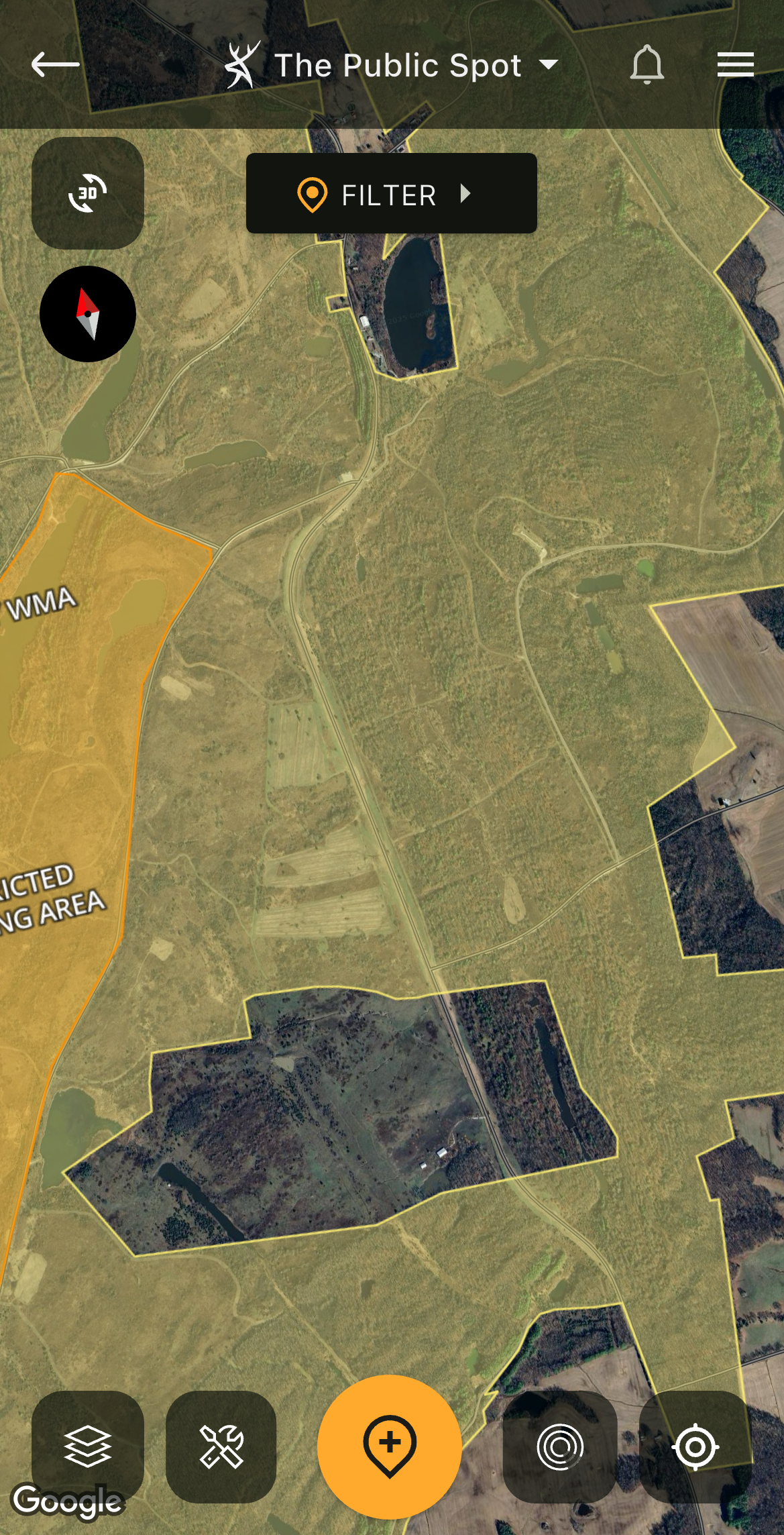
Some HuntStand layers shows you, your Hunt Area, and nearby roadways.
6. Hybrid: See Your Hunt Area, Roads, and More
Different app layers provide different looks. These are best suited for different objectives and scouting tasks. Therefore, hunters should use all of these to best understand the places they scout and hunt.
Of course, the Hybrid layer is one example of this. It offers a great satellite view of the landscape. It’s perfect for seeing the habitat and various stages of plant life in the area. Plus, it also shows roadways, which can be extremely helpful when trying to navigate the backcountry. And with the Contour layer turned on, you can see the Hybrid map and topo lines simultaneously.
Advanced Tips for Turkey Hunting with HuntStand
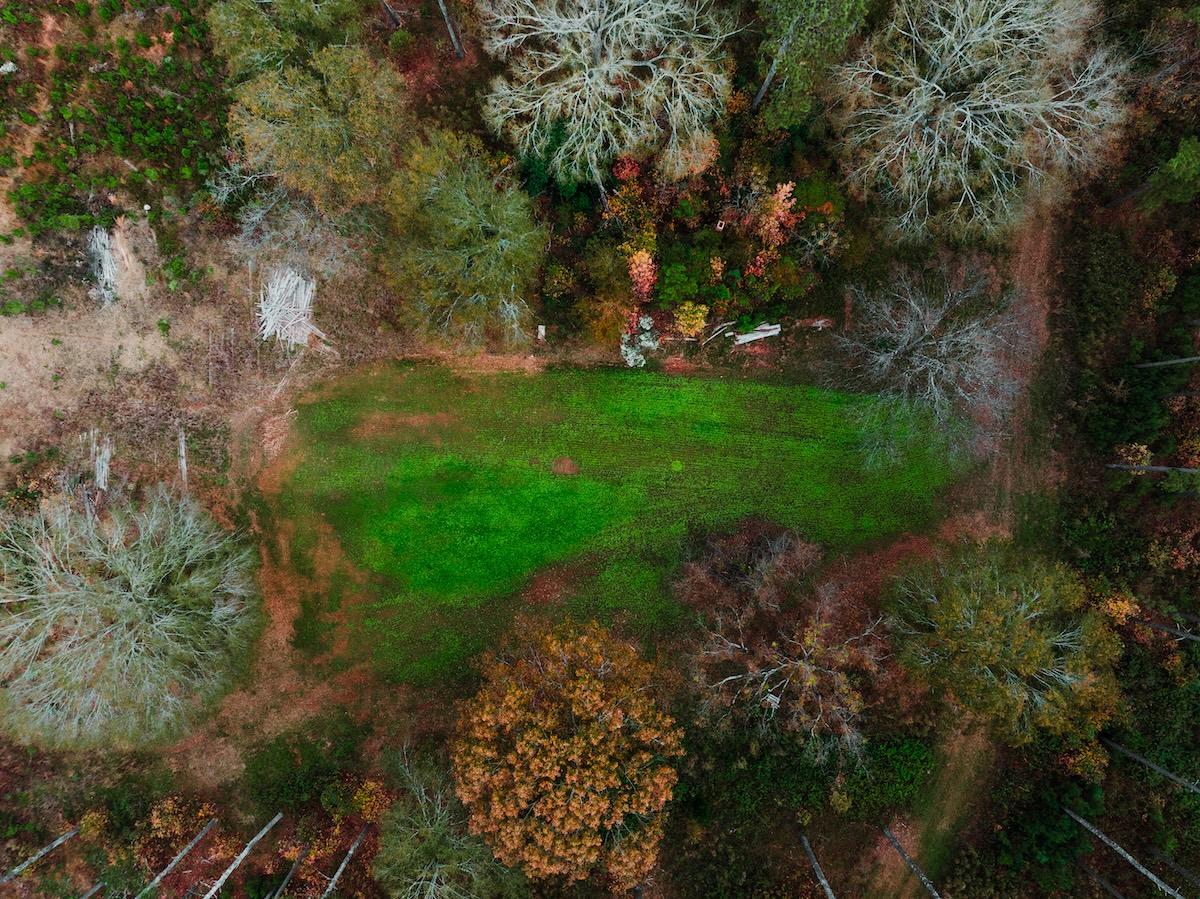
Keep track of everything in your Hunt Area with aerial views.
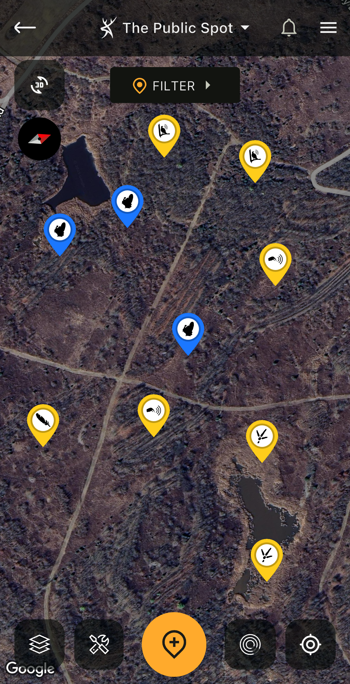
The Map Building tool is essential for those who scout, deploy gear, and repeatedly hunt the same areas.
7. Map Building: Keep Track of Everything on Your Lands and During Hunts
Those who spend much time in the woods gather a lot of scouting intel. It’s virtually impossible to remember every detail discovered. Recalling where every track, dropping, feather, dust bowl, and other turkey sightings and sign is challenging. Fortunately, HuntStand helps with that.
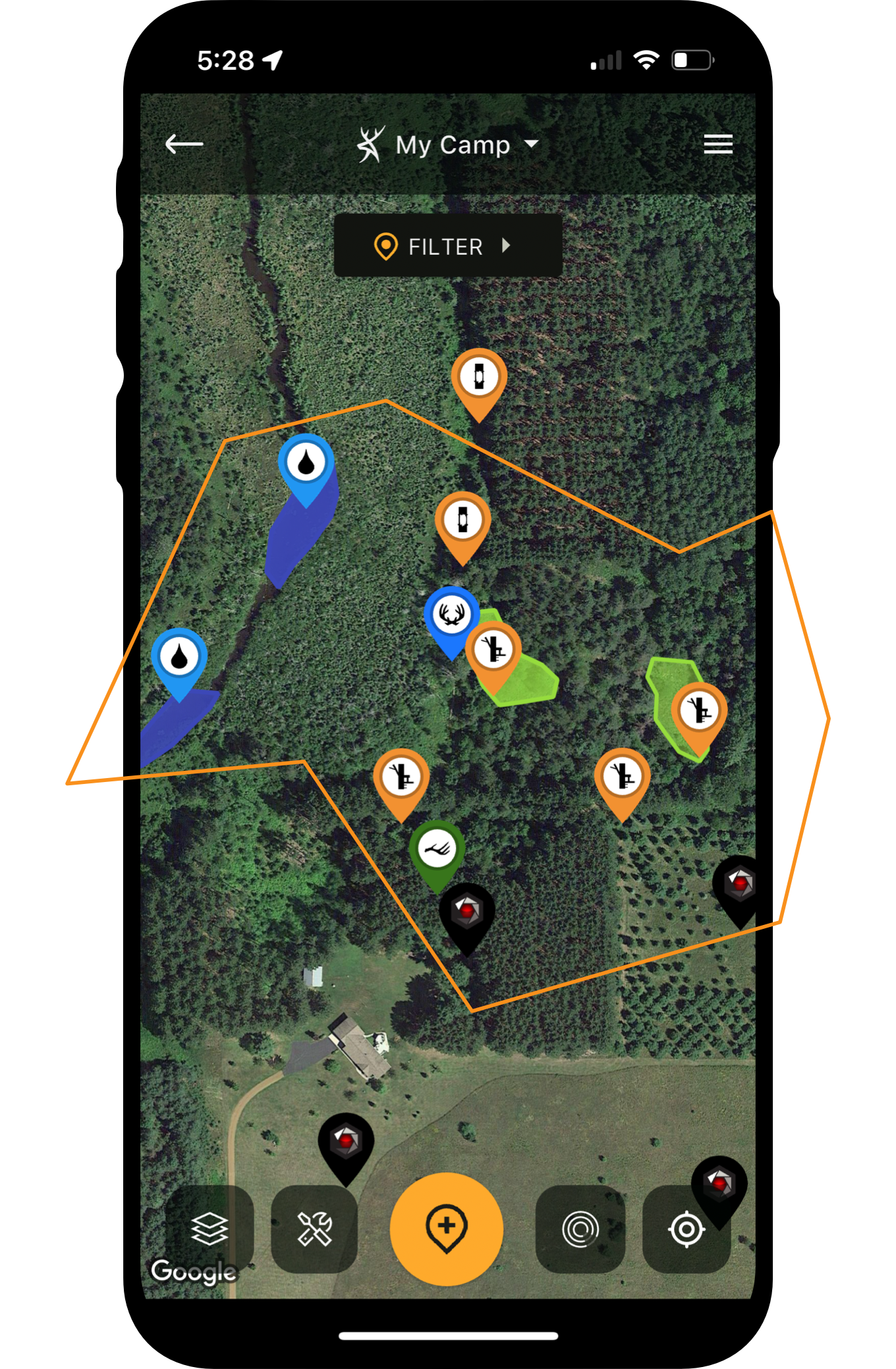
One of the most powerful tools is the ability to build out maps with Map Markers and notes. Use a variety of Game, Turkey Markers, Scouting, Sightings, Harvests, Property Attributes, Stands/Blinds, Trail Cams, and other categories of pins. Remember all of your in-the-field intel with HuntStand’s perfect recall.
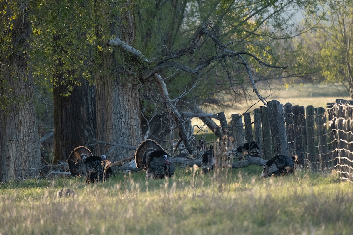
Turkeys on the wrong side of the fence? Find out who owns the other side.
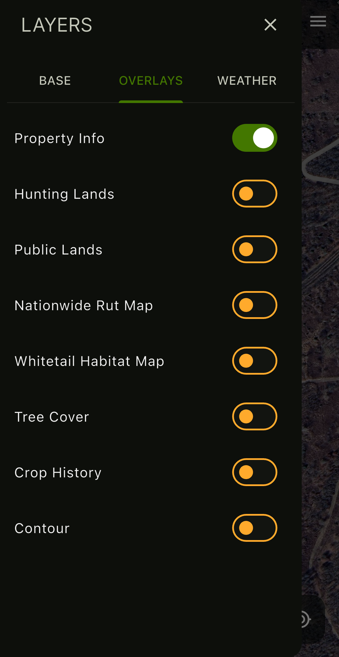
Use HuntStand's Property Info to determine how to contact landowners.
8. Property Info: Find Landowner and Contact Information
Some backcountry hunting is on private land. Other times, it’s on public ground. Either way, it’s important to know who owns the land, where the property lines are located, and how best to access the property.
HuntStand’s Property Info feature is ideal for seeing whether the land is private or public. Furthermore, it details the owner’s name, and also, how to contact them (via address). Additionally, the property lines assist with ensuring everyone stays on the land they’re supposed to be on.
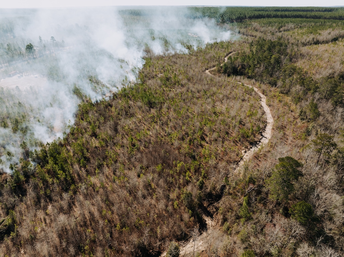
HuntStand's Monthly Satellite can showcase areas that were recently managed with prescribed fire.
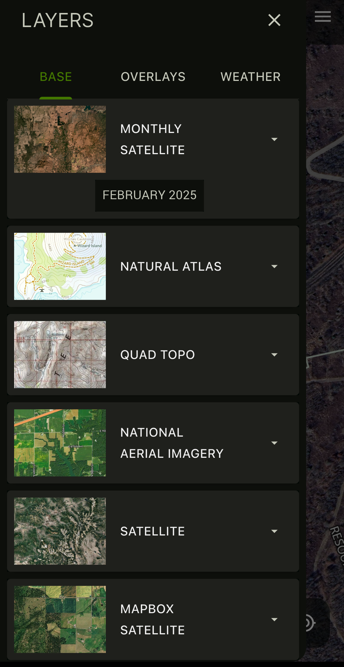
HuntStand's various satellite layers offer different views.
9. Satellite: See Everything in Your Hunt Area
Hunters oftentimes need to see the area from various perspectives. Zoomed in. Zoomed out. Spring view. Fall view. It’s beneficial to be able to see the lay of the land, habitat types, and more. That’s an essential part of scouting and hunting.
HuntStand provides multiple Satellite layers. Each one provides a different look at the lay of the land. For example, the Monthly Satellite shows month-over-month changes. The National Aerial Imagery layer shows a high-resolution, spring-based view. Satellite and Mapbox Satellite have their own looks, too. Of course, the Tree Cover overlay shows where tree cover exists, which is important for roosts and feeding areas. These and more are exceptional tools for seeing the land as it looks.
Furthermore, the backcountry is oftentimes filled with varying terrain and topography. HuntStand helps find important setup spots, such as draws, edges, pinch points, etc. It reveals key topography, including benches, bottomlands, flats, hills, hollows, ridges, ridge endings (points), and more. It even shows waterways, such as streams, creeks, rivers, lakes, ponds, marshes, and swamps.
The Best Turkey Hunting Spots (and How HuntStand Pro Finds Them)
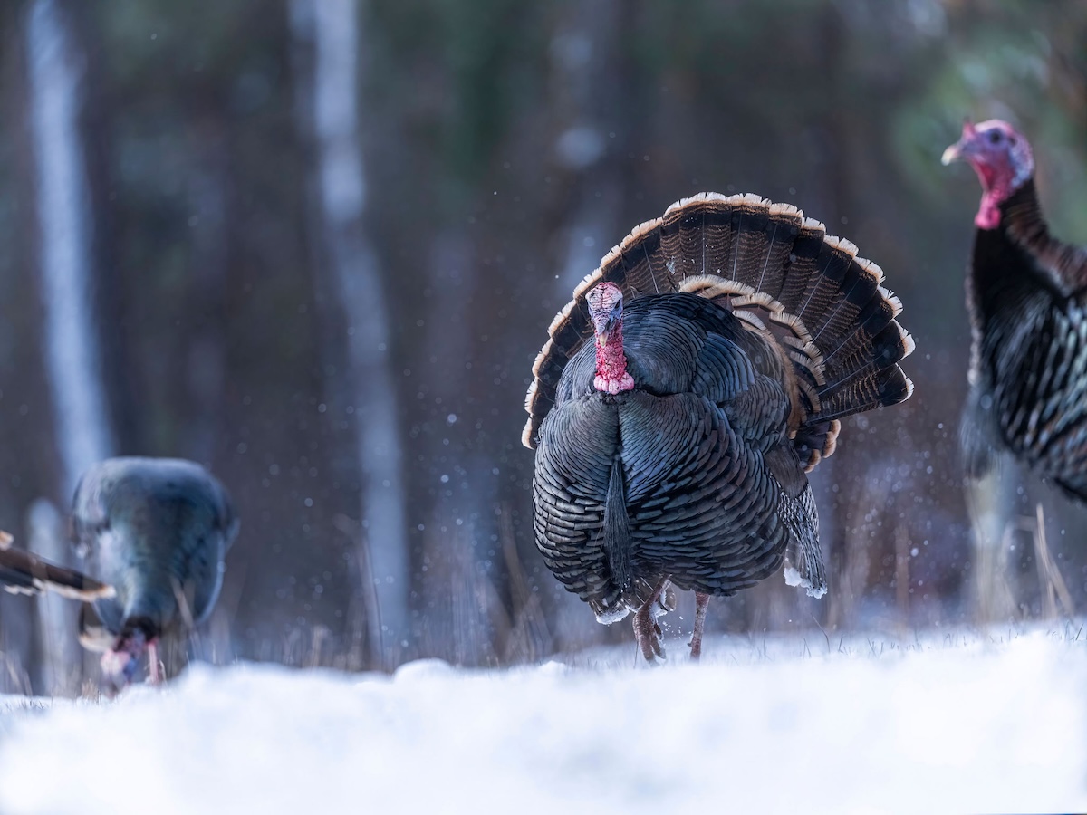
Weather is no joke, and it can change quickly in the backcountry.

Keep track of the radar (in relation to your Hunt Area) with HuntStand.
10. Weather: Stay Safe and Find Weather-Influencing Hunting Spots
Weather impacts all forms of hunting, especially the pursuit of wild turkeys. HuntStand’s weather data can help make important decisions, such as to hunt fields and meadows after a rain.
Of course, it’s about safety, too, especially in the backcountry. Weather can be dangerous, and it’s important to monitor challenging elements. HuntStand helps keep an eye on these things.
HuntStand’s weather data shows temperature, wind speed, barometric pressure, precipitation, humidity, and more. It also shows current, hourly, and 10-day forecasts. With the map view, you can toggle on various weather elements, such as temperature, precipitation, radar, snow accumulation, and more. The radar tab is especially beneficial, as it will show any precipitation in relation to the landscape, and even displays your Map Markers, such as stand locations, and your current position, simultaneously.
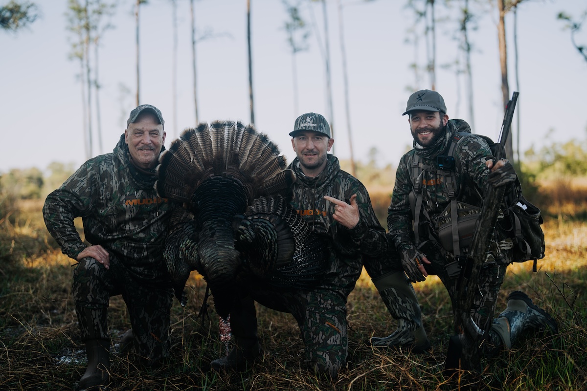
The all-powerful HuntStand helps make hunting dreams a reality.
Time to Hunt Backcountry Birds
Turkey season is here, and millions of turkey hunters are in the field chasing thunder. It’s time to enjoy spring, and all the sights and sounds it brings. But don’t head into the backcountry to pursue spring strutters without HuntStand in hand. It comes loaded with app layers and tools for backcountry turkey hunting.