




Public-land deer hunters face a great many challenges. Competitive hunters. Educated whitetails. Unforgiving terrain. Difficult access. And much more. The odds continually stack up against those who hunt deer on ground open to all.
Therefore, it doesn’t hurt to accept an advantage when it presents itself. Without question, deer hunters can be far more efficient at tackling public land (or any new ground) with the help of hunting apps, especially HuntStand. Here are public-land deer hunting app tips to know.
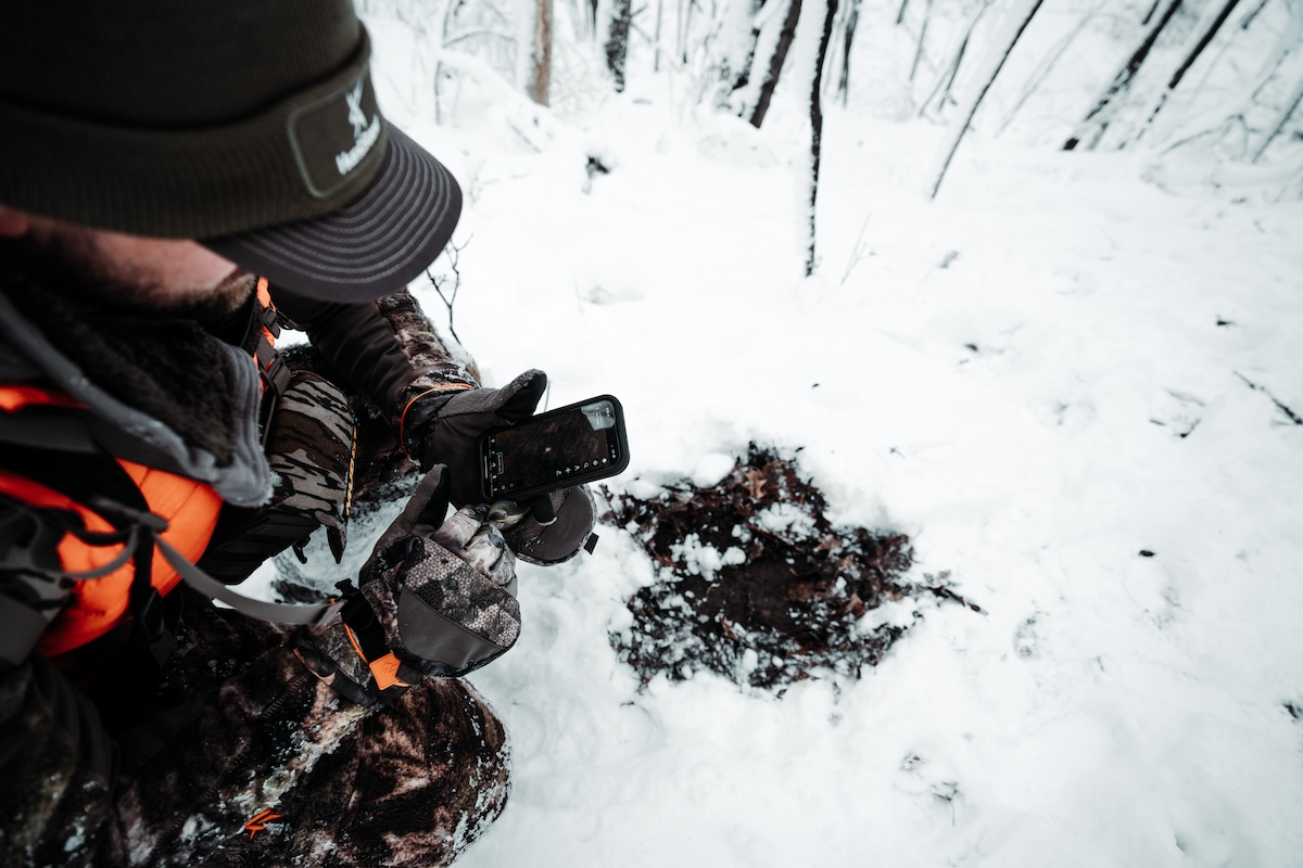

Use the "Hunting Lands" and "Public Lands" HuntStand app layer tools to find potential public lands to hunt.
1. Discover Potential Hunting Access
One of the biggest challenges that modern deer hunters face is also the first step in the public-land deer hunting process. As public hunting popularity ramps up, it’s increasingly difficult to find un-pressured public areas. Merely discovering quality hunting access is a big feat to overcome.
Thankfully, HuntStand can aid in this effort. The “Hunting Lands” and “Public Lands” app layers are crafted to reveal potential hunting access. The former tool highlights accessible public hunting land in yellow, and restricted hunting access in orange. The latter tool showcases these in light green.
To benefit, select these layers. Zoom out and see the landscape at large. Find possible tracts of land in your state, region, or county of interest. Keep eyes peeled for potential public properties. Then, zoom in and study them more closely. If you like it, drop pins and leave e-scouting notes. Eventually, scout it in person.
2. Find Deer with Topo Maps
Deer are creatures of habit. Certain things influence deer behavior with a high degree of consistency. The relationship between deer and topography is one such regularity.
The ability to observe the landscape and predict how whitetails maneuver across the terrain is a significant deer hunting skill. Being able to accomplish that same task with nothing but a topo map is, too. That said, it’s even more challenging than the former.
Fortunately, hunting apps make it easy to interpret topo lines, which indicate slope and the degree of these changes. These can impact how deer use and move across the landscape. In short, you can somewhat predict where deer bed, travel, eat, water, and more.
3. Use the 3D Map Cheat Code
HuntStand’s 3D Map is a result of crossing aerial and topography maps with an outcome that’s 3D instead of 2D. It’s really one of the best scouting tools available to deer hunters and offers a unique way to visualize the lay of the land with a great deal of accuracy. Like other app tools, this can make the difference in pinpointing a great hunting property, stand location, or accomplishing other scouting efforts.
A Detailed Guide to HuntStand App Tools for Deer Hunters
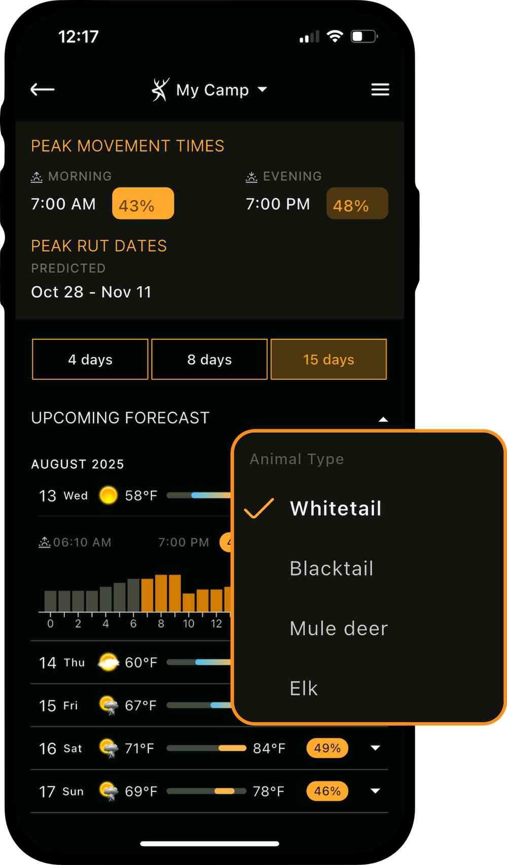
The Whitetail Activity Forecast is a significant benefit for hunt planning.
4. Combine Powerful App Tools
HuntStand offers numerous powerful scouting tools. Using these in conjunction with the overarching effort can increase the odds of filling deer tags.
Some of these tools include:
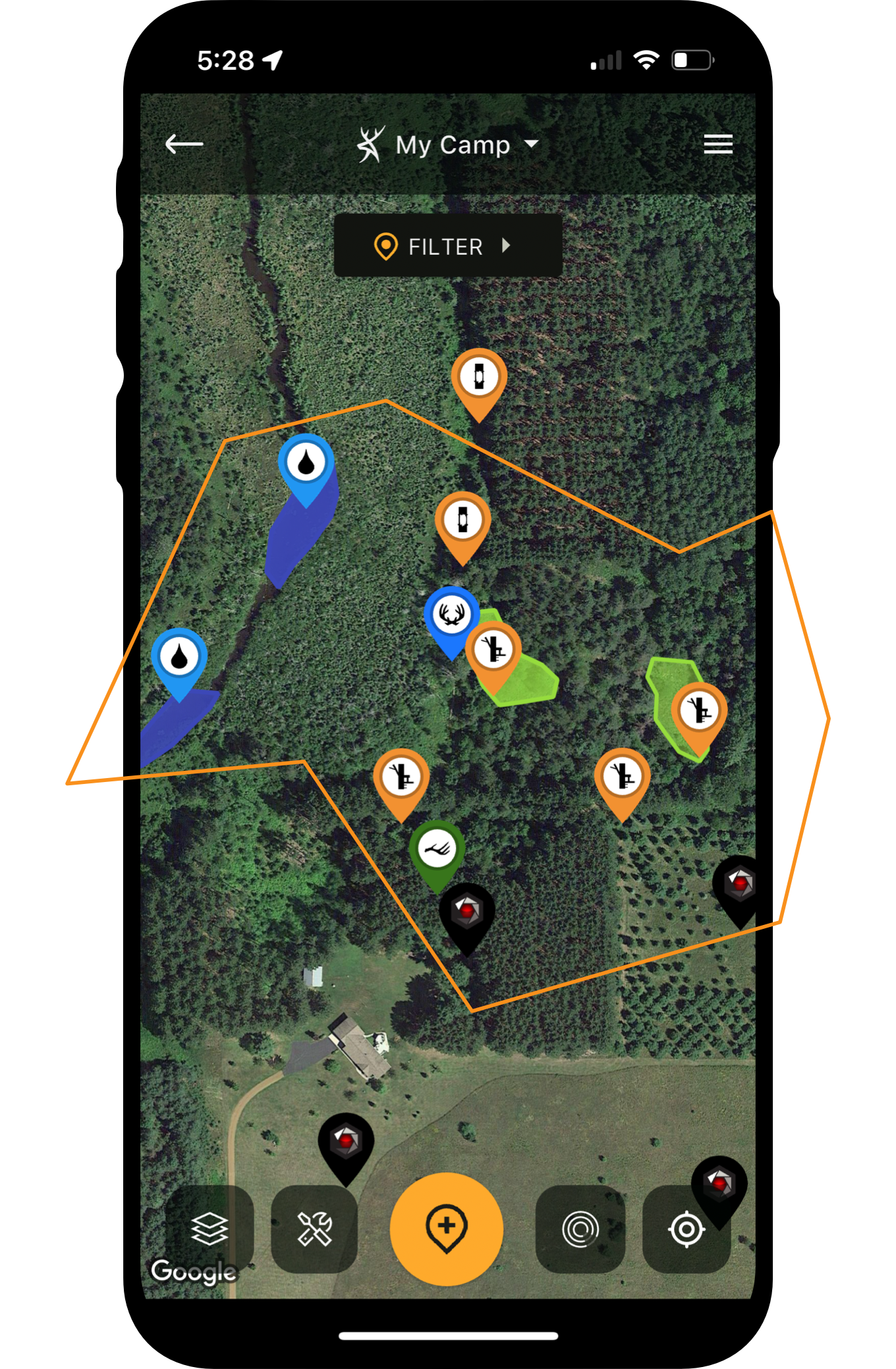
- Map Editor: Build out detailed Hunt Area maps with scouting notes, blind and stand locations, trail camera deployments, sightings, harvests, and more.
- Monthly Satellite: See month-over-month changes to the landscape, which can reveal changes in crop rotations, forest management, etc.
- Whitetail Forecast: Receive a detailed deer activity projection for the day, including a percentage-based expectation of movement.
- HuntZone: Seen as a projection overlaid on your Hunt Area, your expected scent cone appears on the map and displays the current and forecasted wind directions.
Other tools exist within the app, too. Find the ones that fit your scouting and hunting regimen. Use these as needed.
5. Guesstimate Hunting Pressure
In-person assessment is needed to accurately determine hunting pressure. However, it’s possible to study a public hunting area via HuntStand and gauge the potential human intrusion it receives.
For example, if a property is very difficult to access, odds are good it receives less hunting pressure than an area that is quite simple to reach. If an area has barriers to entry, such as private lands or waterways blocking most of its access, fewer hunters are likely to tackle the challenge. Furthermore, if the walking access takes a mile or more to reach the first possible stand locations, that too can be an indicator for less hunting competition.
6. Cross Off Unlikely Locations
Part of scouting public land is deciding where not to hunt. This part of the process is crucial for saving time and being more efficient. Of course, there are numerous types of areas that hunters might choose to avoid.
First, consider easy to moderate access as a no-go. Other hunters are likely already hunting there. That said, keep an eye on things while in the field. Sometimes, all other hunters have the same mindset, and areas close to roadways and parking areas go un-hunted.
Secondly, ignore highly homogenous (unchanging) habitat. Deer are creatures of edge, and while they do live in homogenous habitat, the movements take too long to scout and pattern. At least, that’s true for most deer hunters, especially those hunting out of state or who are short on time. Instead, focus on good edge habitat, where deer are easier to find and pattern.
The Relationship Between Deer and Topography [Deer Dirt]
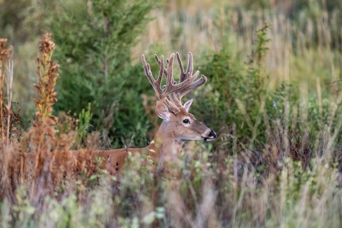
Edge cover matters to deer, and HuntStand can help find it.
7. Identify Edge Habitat
Another app benefit is locating said edge cover. Do this by finding breaks in the landscape. Generally, with a late spring, summer, or early fall setting, mature timber appears darker green. Usually, middle succession will be slightly lighter green. Lastly, early successional habitat tends to be an even lighter shade of green. Of course, conifers and hardwoods showcase noticeably different colorations. Where these and other habitat types meet create edge, which deer love. Many of these such locations are visible via HuntStand.
8. Project Potential Deer Lines of Movement
Hunters who use HuntStand to pinpoint possible bedding areas, staging areas, food sources, and water sources can project potential deer lines of movement. Recognizing possible A to B to C movements while e-scouting can shorten the learning curve of public hunting land. This makes it easier to find where you need to be.
9. Seek Out Overlooked Hotspots
As stated, different HuntStand tools help with various tasks. Some help pinpoint overlooked hotspots. Oftentimes, these are areas that are very difficult to access, and might require a boat, canoe, kayak, or miles of walking. Searching for such barriers to entry cuts out a lot of the competition.
Furthermore, take a second look at spots that might seem obvious. If other hunters are overlooking these, try these areas for a sit or two. Such locations just might surprise you.
How to Make the Perfect Buck Trap [Deer Dirt]
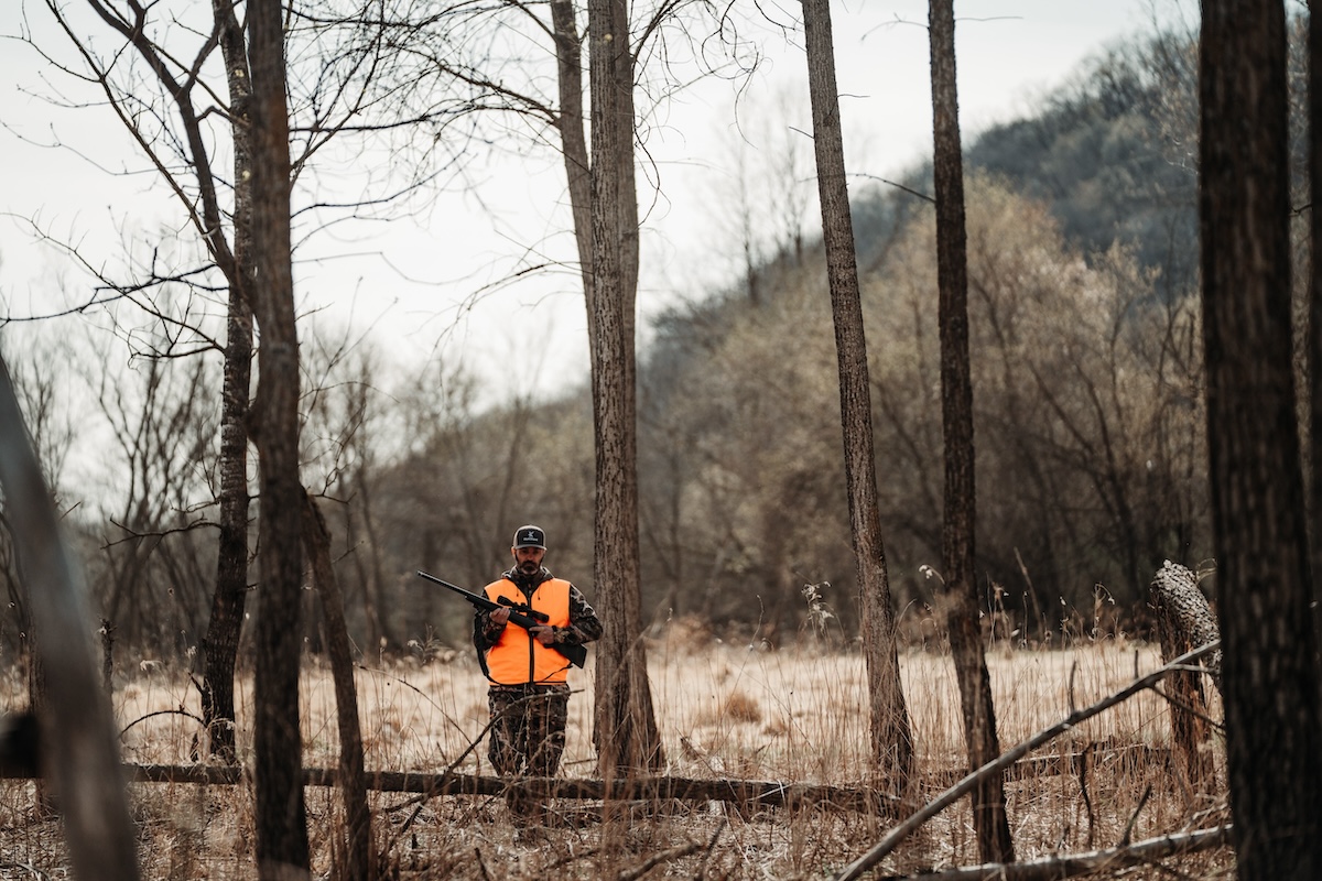
Deploy HuntStand to help locate pinch points and other proven hunting spots.
10. Pinpoint Pinch Points
A good pinch point is worth a lot. Sometimes, deer use these to minimize effort getting from one location to the next (i.e.: saddles). More often, though, deer are forced to travel through these areas. The increased likelihood of traveling makes these excellent spots for treestands and hunting blinds.
11. Time a Rut Hunt
The early season, pre-rut, and late season are the best times to kill a specific target buck. But the rut is the best time to fill a tag on say, one of several big deer in the area. Albeit random, this is the time of year when deer move the most, especially during daylight. It increases odds of deer encounters.
HuntStand’s Whitetail Rut Map details rut date timelines for 4,240 counties, parishes, and districts in 43 states (more than 98% of the U.S. whitetail range). With a HuntStand Ultimate subscription, it unlocks this powerful tool, which provides accurate rut data that can help time your public-land rut hunt. It might give you the upper hand over other hunters.
12. Chart Deer Escape Routes
If it’s public land, odds are good that hunters will eventually spook deer. That’s especially true for big days, such as opening day(s) of gun seasons, during the rut, etc. Therefore, hunters would do well to chart projected or known deer escape routes. Then, they can hunt these spots on such days and intercept deer as they pass through.
30 Reasons HuntStand Ultimate Makes You a Better Deer Hunter
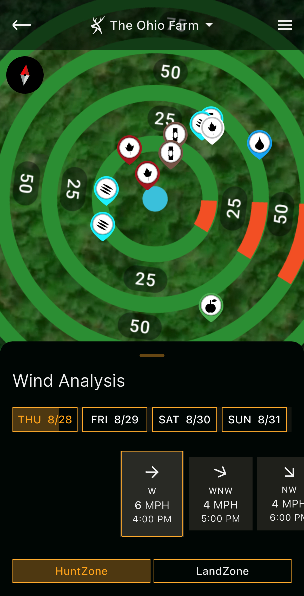
Keep an eye on your wind directions, and adjust the hunt plan accordingly.
13. Gain Some Trespass Permission
Oftentimes, the best access into a public property is not the access that’s provided. It’s through a piece of private land that adjoins the public land.
While odds of securing hunting permission to private tracts are unlikely, you just might receive permission to walk through these to reach the public land. This can produce shorter walks that help you reach spots before other hunters. It can also provide better entry and exit routes that spook fewer deer.
14. Make Your Maps Private
You’ve been scouting. Pop up the HuntStand app, and your Hunt Areas showcase dozens of map icon markers and notes. All the intel you need is right there, and it’s waiting for hunting to begin. That said, don’t forget to make your Hunt Areas private (not public). Change this setting to keep your hard-earned scouting intel more secure.
15. Implement Offline Mapping
Many of America’s public lands exist in remote areas. These spots aren’t close to civilization, and therefore, rarely offer great cellular service. Sometimes, they offer none.
To overcome this, save offline map versions of each public hunting area. This ensures HuntStand and associated app layers and tools function properly, even if cell service fades. The app remains viable even when you go from full service to SOS.
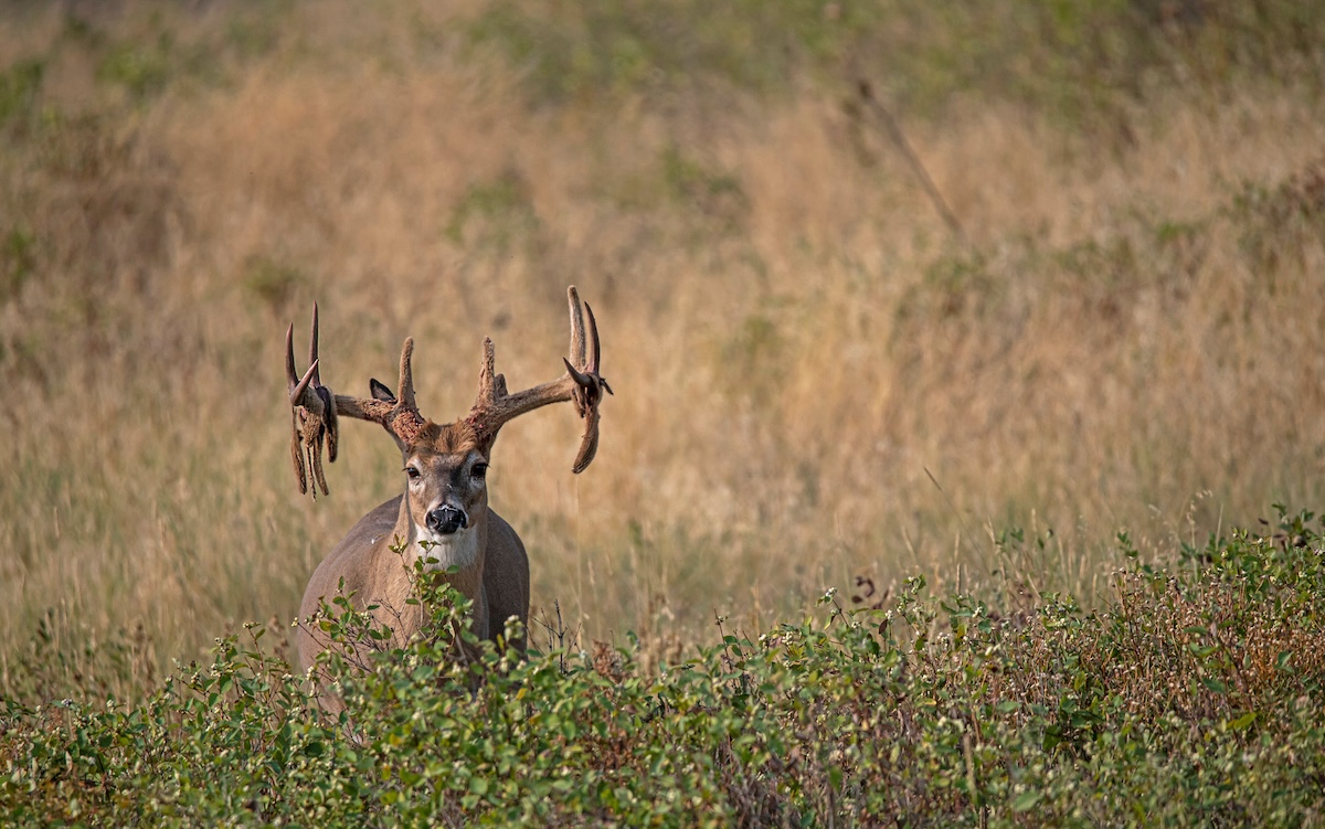
Big public-land whitetails are difficult to find. Use the available hunting app tools at your disposal.
Level Up with HuntStand Ultimate
A HuntStand Ultimate subscription can help you become the best public land hunter you can be. Priced at $99.99 per year, it unlocks numerous tools not offered with a HuntStand Pro subscription, including the Crop History Layer, Monthly Satellite Imagery, National Aerial Imagery, Whitetail Activity Forecast, Whitetail Habitat Map, Whitetail Rut Map, and more. It’s the tool that fits in your pocket and is always right there when you need it. Learn to maximize its benefits, and it will become your favorite public-land deer hunting app.