
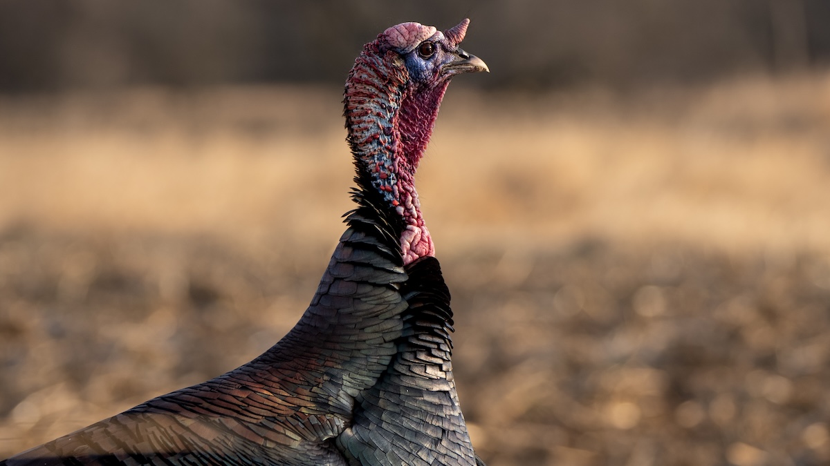

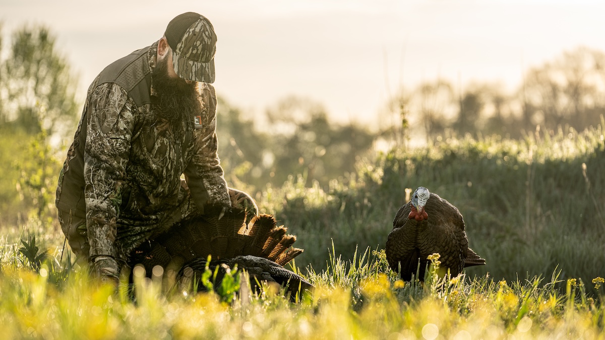
Wary birds find places to escape hunting pressure.
You hunted the first two weeks of turkey season without much luck. Each hunt has produced progressively fewer gobblers on the limb and sightings on the ground. It seems every bird is already dead and in your neighbors’ freezers — but they aren’t. Sure, some are being dipped in gravy as we speak, but others are yet to take to the long nap. It’s the latter birds you need to find, and while persecuted longbeards have pushed into new areas, you just need to know the places to find pressured turkeys. Here are those locations, plus how HuntStand helps find these birds.
1. Across Bodies of Water
Turkeys naturally love bodies of water. Lakes, rivers, creeks, streams, ponds, and more — these are important to these birds. Oftentimes, they roost over or next to these waterways. Therefore, don’t be surprised when birds end up escape routing, or even relocating, to the other sides of water barriers. Wildlife species recognize water as a buffer zone between them and predators on the other side, and that’s true for hunting pressure, too.
HuntStand Tip: Use base layers, such as “Natural Atlas,” “Quad Topo,” and others, to see water sources easily. Better yet, implement the “Water Features” overlay paired with any base layer of interest to locate waterways.
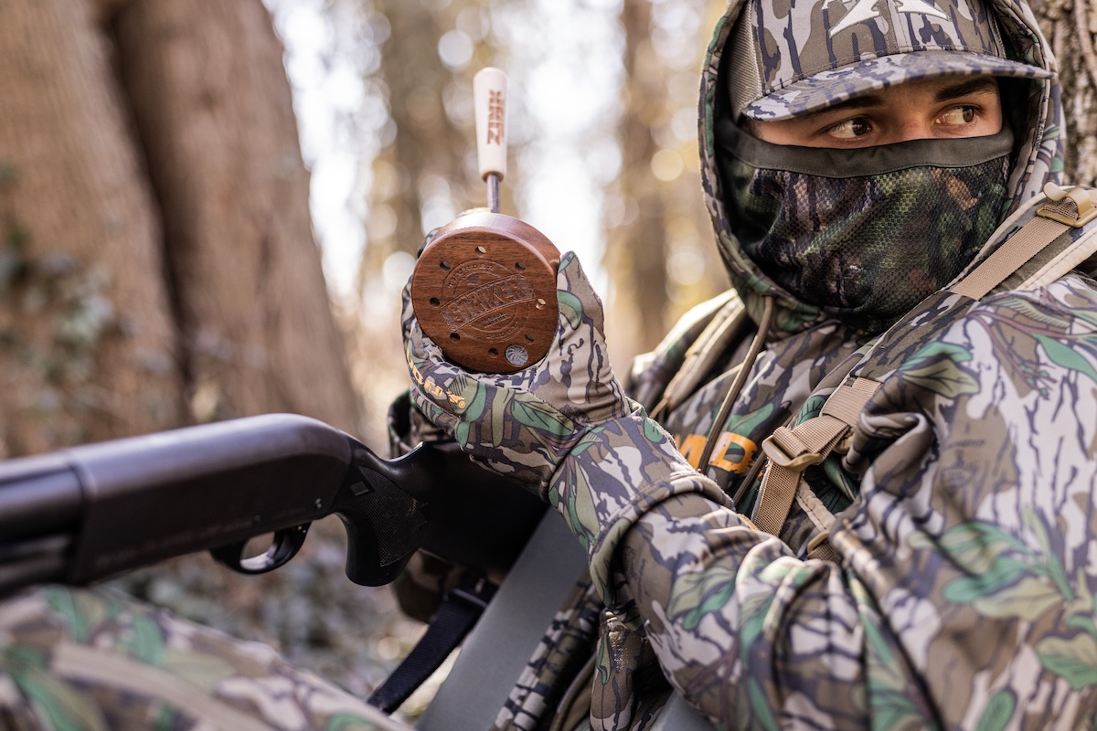
Use various calls to find the one turkeys decide to respond to.
2. Across Nearby Roads
Hunters often find hard-hunted birds eventually vacate the area. They’ll move across nearby roads to safer pastures. Obviously, it isn’t ideal when a road separates you from the turkeys. Listening to them gobble on the neighbor doesn’t do much for your hunt. And if the birds aren’t getting pressure from that side, they likely aren’t coming back to yours anytime soon. If you have access to that ground, or can secure it, you’ll find turkeys.
HuntStand Tip: Use base layers, such as “Hybrid” and “Streets,” to visualize where turkeys might’ve crossed the road onto new properties.
3. Farther from Roadways
Most turkey hunters aren’t willing to invest the time needed to reach distant turkeys. They’ll hunt close to roadways, parking areas, and wherever else they leave the truck. After some time, turkeys push farther from these places. Hunt more than a half mile from roadways and other frequented areas to relocate turkeys that sought reprieve from hunting pressure.
HuntStand Tip: Again, use base layers, such as “Hybrid” and “Streets,” to gauge where turkeys are likely to be located at.
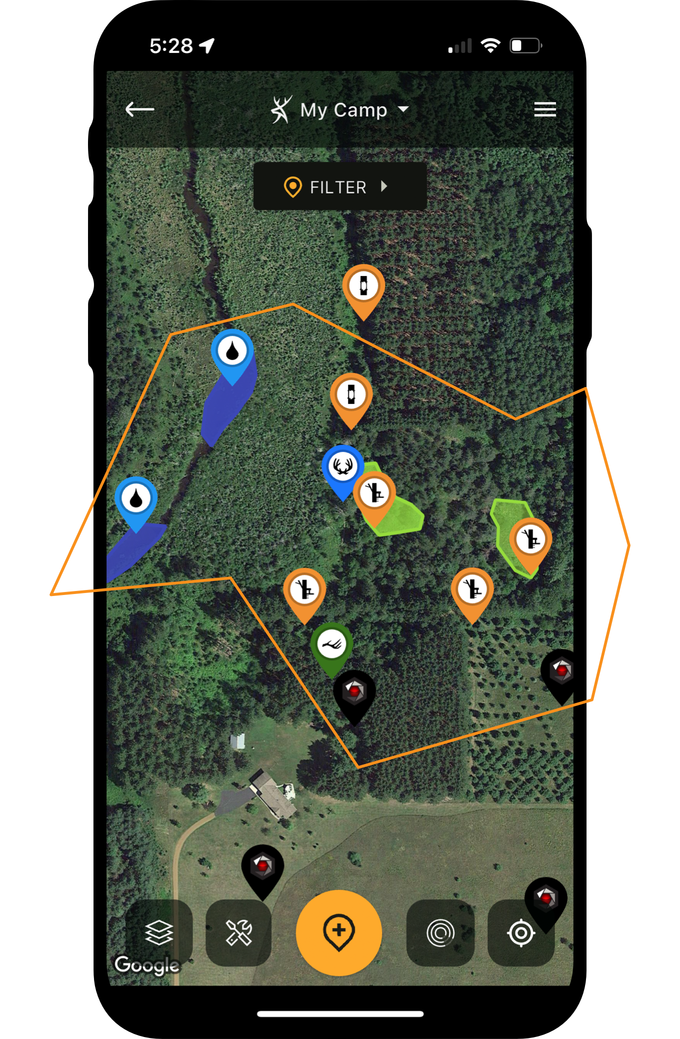
E-Scouting Strategies for Turkey Hunting
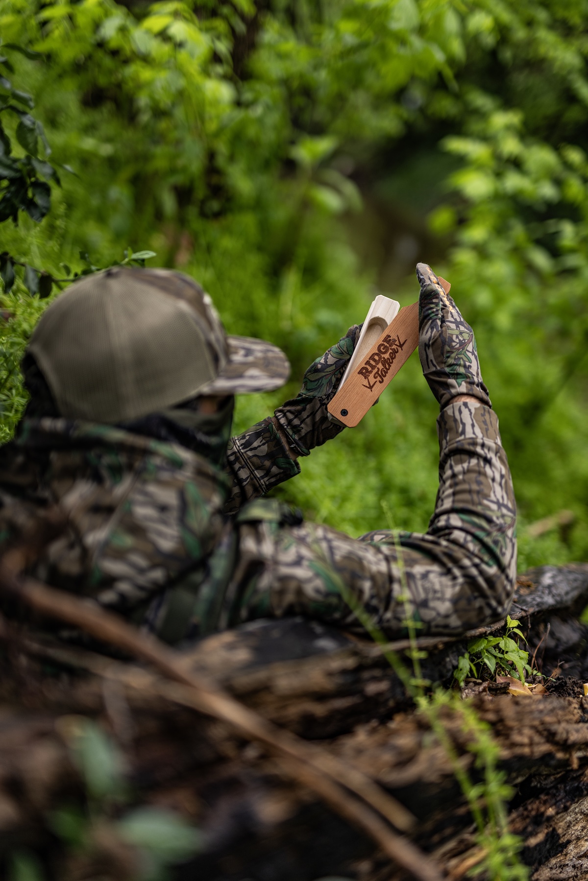
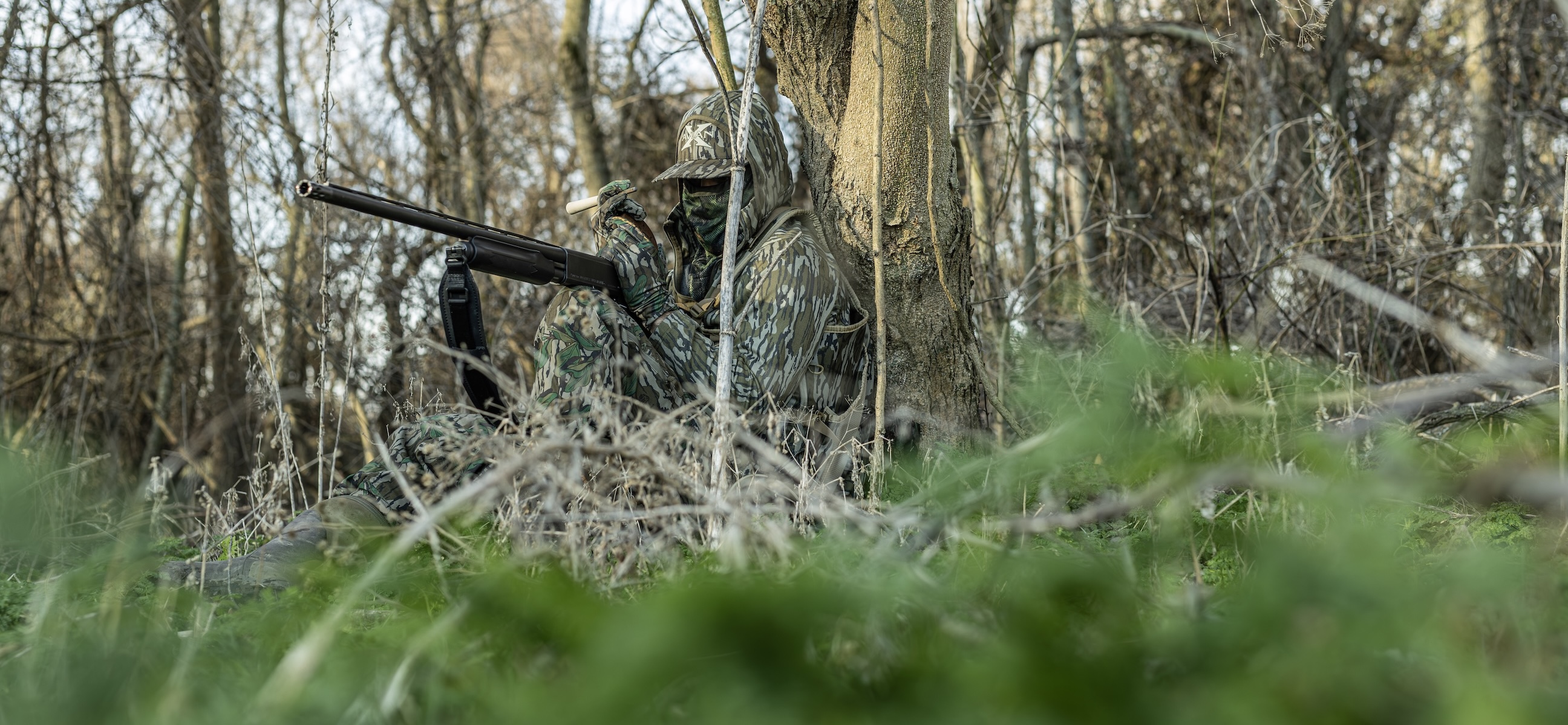
Get loud with your calls, but only if you truly know the ins and outs of pressured birds.
4. Deeper Into Available Cover
Those who hunt big woods and other habitat types with vast terrain will notice pressured turkeys pushing deeper into available security cover. Ease into these areas slowly, as it’s often difficult to see birds before they see you. Still-hunt slowly as you glass ahead. Call occasionally, but don’t overdo it.
HuntStand Tip: Deploy key base layers, including “3D Mapbox Satellite,” “Hybrid,” “Mapbox Satellite,” “National Aerial Imagery,” “Satellite,” etc., to locate large swaths of timber and cover. Toggle on the “Tree Cover” overlay.
5. Beyond Terrain and Topographic Obstacles
Some properties have barriers that are difficult to cross. Examples include bluffs, steep ridges, deep ravines, and more. Oftentimes, turkeys move beyond these terrain and topographic obstacles to reach safety. If you can find a way to safely reach these areas, you can get back into some good turkey hunting.
HuntStand Tip: Check the “3D Mapbox Satellite,” “3D Mapbox Street,” “Lidar,” “Outdoor,” “Quad Topo,” “Terrain,” and other base layers to pinpoint potential obstacles. Enable the “Contour” overlay.
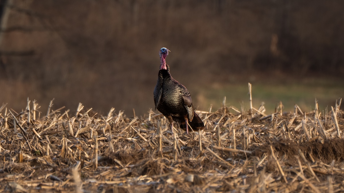
Pressured turkeys tend to hang out in open fields to see danger coming.
6. Wide Open Ag Fields and Pastures
Turkeys often find security by staying out in wide-open ag fields and pastures. These vast fields allow them to detect danger from greater distances, effectively allowing them plenty of time to escape incoming threats. If the ag fields are freshly disced or planted, odds of turkeys being there are even greater. (If the field was recently sprayed but is yet to be worked or sowed, turkeys might temporarily vacate.) Similarly, if pastures have livestock, especially cattle, turkeys are sure to spend time there.
HuntStand Tip: Use the “3D Mapbox Satellite,” “Hybrid,” “Mapbox Satellite,” “Monthly Satellite,” “Natural Aerial Imagery,” “Satellite,” and others, to find open fields to hunt. Try the “Crop History” overlay.
Ways HuntStand and Live View Cellular Trail Cameras Help You Scout for Turkey Season
7. Secluded and Obscure Corners of Habitat
Hunters rarely hunt 100% of the property they have access to. There are virtually always corners or entire sections of land that go un-hunted. Over time, even the dumbest of feathered birds learn to find some peace in these places. Of course, they’ll likely be on neighboring tracts, too, but will still cut the corners and overlap onto your un-hunted acreage.
HuntStand Tip: Try the “3D Mapbox Satellite,” “Hybrid,” “Mapbox Satellite,” “Monthly Satellite,” “Natural Aerial Imagery,” “Satellite,” and others, to find secluded pockets of habitat.
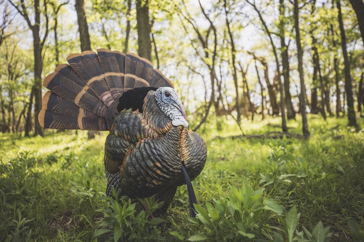
Secluded clearings can be great spots to hunt.
8. Small and Hidden Openings
Properties with small and hidden openings within the interior of cover tend to see plenty of turkey action. Gobblers love to strut in these areas, especially if they’ve been pressured and shot at within larger fields. These smaller, secluded open areas provide them with strut zones and feeding areas that are less obvious to turkey hunters.
HuntStand Tip: Turn on the “3D Mapbox Satellite,” “Hybrid,” “Mapbox Satellite,” “Monthly Satellite,” “Natural Aerial Imagery,” “Satellite,” and others, to identify small and hidden openings.
9. Recently Burned Habitat-Managed Areas
Controlled burns (prescribed fire) are important tools for land management. Without question, wild turkeys benefit from this practice. Typically, birds scratch around recently burned landscapes in search of food. Of course, a year to two removed from a controlled burn, these areas deliver excellent feeding areas, nesting cover, brood cover, and even escape cover. Basically, these are turkey magnets that a lot of turkey hunters avoid because they don’t realize birds love these areas.
HuntStand Tip: Employ the “Monthly Satellite” base layer to locate areas that were recently burned.
Best Ways to Improve Your Land for Wild Turkeys
Hard-hunted birds often require extra patience and effort.
10. Small Pockets of Private Ground
Hunters love having hundreds of acres to hunt on. It gives them plenty of ground to roam and buffers between them and neighboring hunters. Management is an easier task, too. That’s why many hunters completely overlook small pockets of private ground, even if they already have access to these. Over time, turkeys realized these lighter tracts don’t see as many hunters, and they’ll dig in and wait out turkey season there. Hunters who check these spots just might be pleasantly surprised.
HuntStand Tip: Leverage the “Property Info” overlay to pinpoint small pockets of private ground where birds might be camping out.
11. Protected Pockets of Public Land
Most public lands see heavy hunting pressure. Some don’t, though. Many areas that do not see hunters is because they are protected pockets of public ground. Maybe these are limited-draw hunt areas, serve as refuges part of the season, are very challenging to access, etc. Whatever the case, public that is shielded in one way or another tends to produce higher odds of rediscovering pressured birds.
HuntStand Tip: Harness the power of the “Hunting Lands” and “Public Lands” overlays to discover protected pockets of public land.
Repeated pressures on turkeys routinely results in gobblers inhabiting unpressured pockets of real estate.
12. Along Private-Public Borders
Everyone assumes that all public lands are pressured and all private lands hold a ton of birds. Neither are true. In fact, sometimes, that scenarios flips. Perhaps they’re on the private side. Maybe they’re on the public side, and not the private. Regardless, turkeys tend to spend time around private and public land borders due to habitat change, and often, pressure differences.
HuntStand Tip: Operate the “Property Info,” “Hunting Lands,” and “Public Lands” overlays to key in on private-public borders where birds might be frequenting.
The Best Turkey Hunting Spots
13. On Your Neighbors’ Lands
Lastly, maybe the turkeys are so persecuted that they’ve completely moved to your neighbor’s lands. You bumped them too many times, and they’re gone for at least a few days, if not the remainder of turkey season. Better luck next time. Or, better yet, contact that landowner for potential hunting permission or a hunting lease agreement.
HuntStand Tip: Utilize the “Property Info” overlay to learn the names, property addresses, and mailing addresses for neighboring landowners who might be willing to give you hunting permission or leases.
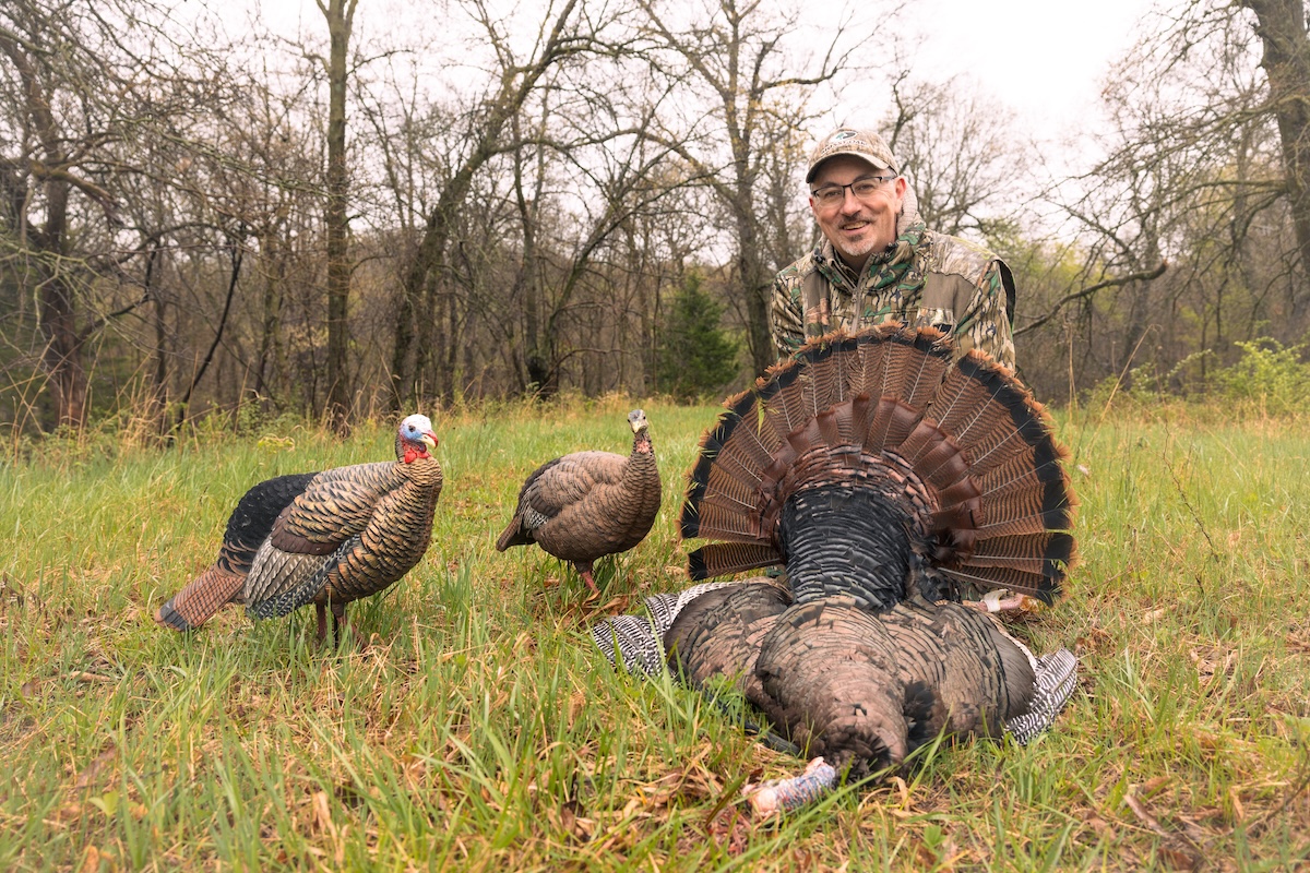
Tagging a pressured longbeard is no easy feat, but it's certainly worth the reward.
Download the Command and HuntStand Apps to Strut Your Stuff During Turkey Season
HuntStand Pro was made for the turkey hunter. Its advanced mapping and scouting tools are perfect for those who chase thunder. Success oftentimes follows those who prioritize effectiveness and optimization. Without question, HuntStand Pro enhances effectiveness, provides invaluable resources, and saves a lot of time for turkey hunters. If you’re ready to take your turkey scouting and hunting to the next level, consider a HuntStand Pro membership level today.
Furthermore, consider integrating the Command App with HuntStand. Those who wish to get the most out of HuntStand and their cell cameras can do so. By integrating the Command App (compatible with Muddy and Stealth Cam cellular cameras), hunters get the most from both sides of the digital scouting coin.
Bonus: More ways for turkey hunters to use HuntStand:
- Pre-scout with HuntStand to reduce scouting pressure on your hunting properties.
- Use Live View with Muddy and Stealth Cam trail cameras to scout turkeys before the hunt.
- Integrate the Command App with HuntStand.
- Pour over topography-based layers to detail important finds.
- Dive into terrain-based layers that offer great intel.
- Find promising public lands.
- Access good private properties you secure permission and leases for.
- Locate potential food sources.
- Pinpoint possible viable waterways.
- Identify likely roosting areas.
- Foreshadow possible fly-down landing zones.
- Sift through areas to find open (mature) timber or fields where turkeys will likely feel comfortable.
- Find possible turkey hotspots based on time of day as turkeys move across the landscape and the hunt unfolds.
- Drop scouting pins for scouting finds, such as feathers, tracks, droppings, and more.
- Mark roosted gobblers for future hunts.
- Mark gobbler sightings for future hunts.
- Mark harvests for future reference.
- Home in on the location of heard gobbles during the hunt.
- Deploy the area measurement tool to estimate food plot sizes.
- Benefit from the distance measuring tool.
- Select likely access routes.
- Use the Tracks feature to reflect on a hunt.
- Consult the Property Info tool to stay inside the lines.
- Use the Property Info tool to provide valuable landowner contact information.
- Gauge the wind direction and wind speed via the HuntZone wind indicator.
- Monitor weather data details make better, safer hunt plans.
- Pour over the Monthly Satellite imagery layer updates offer near-real-time looks at land.
- Drill down on likely nesting areas.
- Keep track of pre-season, in-season, and post-season tasks.
- Share marked locations — and your location — with friends.
- View the 3D mapping feature offers a true-to-life look at the landscape.
- Create a hunt game plan.