




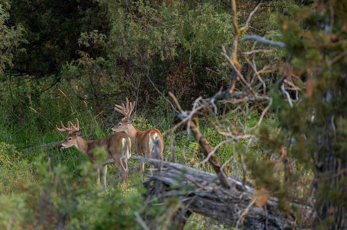

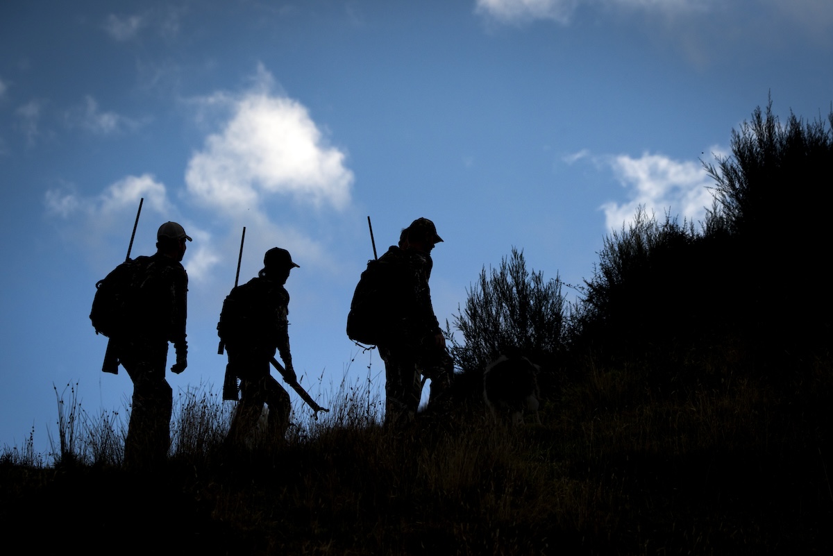
HuntStand Ultimate can help locate great hunting spots like this one.
Velvet antlers reach skyward. Soon, the fuzzy stuff will peel. Hard antlers will shine. The adrenaline of deer season is soon upon us. Fall is nearing, and the work begins now. It shouldn’t be without aid from HuntStand Ultimate.
Priced at $69.99, here’s a host of reasons for every dollar you spend on a HuntStand Ultimate membership. It’s laden with big-time features, even more so than a HuntStand Pro subscription. Don’t miss this outline of reasons HuntStand Ultimate makes you a better deer hunter.
HuntStand's tools make it easier to find quality public-land hunting opportunities.
1. Locating public properties with potential.
Public-land deer hunting is vogue. A lot of hunters are accessing public properties for whitetail hunting. HuntStand was made for all hunters, but the public land enthusiast benefits significantly. The “Hunting Lands” and “Public Lands” layers are great assets for public-land deer hunters.
2. Finding quality private properties.
Other hunters focus entirely, or at least partially, on private lands. Thanks to the “Property Info” tool, hunters can more easily find landowner information. This tool showcases property lines, landowner names, mailing addresses, and property addresses.
3. Using the “Property Info” feature to stay inside property lines.
Another benefit of the “Property Info” tool is staying inside of property boundaries. This is crucial whether hunting on private or public lands. Even accidentally crossing a property line can result in an encounter you want no part of.
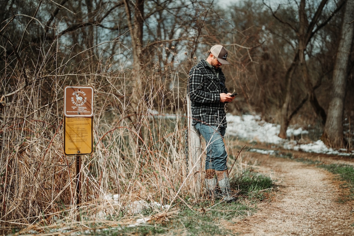
HuntStand's "Property Info" tool can help with contacting landowners, gaining permission to retrieve wounded game that runs across property lines, and more.
4. Benefitting from the “Property Info” tool for aid in recovering game.
One of the most common challenges hunters eventually face is a wounded deer that runs across a property line. This is especially common in areas with smaller acreages. If you don’t already know or have contact info for neighboring landowners, the “Property Info” tool offers a name and address.
5. Flying through larger areas to find possible deer hunting hotspots.
One of the biggest advantages with HuntStand is efficiency. It makes it possible to scout from above and find possible deer hunting hotspots. It even allows users to “cross off” large swaths of land that are unlikely to produce good deer hunting.
6. Scouting with HuntStand can minimize scouting pressure on hunting lands.
Deer can’t tell the difference between hunting pressure, scouting pressure, and in-the-field prep work. Done correctly, e-scouting via HuntStand can minimize applied pressure when scouting hunting lands. This can reduce human intrusion and limit a hunter’s impact on the property.
Numerous HuntStand app layers and tools aid in scouting efforts.
7. Studying topography-based layers to locate important property features.
HuntStand’s topography-based layers are made to locate key property features that are beneficial to deer and deer hunting. HuntStand layers that significantly aid in this process include “Contour,” “Quad Topo,” “Terrain,” and “3D.” Each one offers this scouting ability.
8. Analyzing terrain-based layers offers great intel.
Deer flock to certain features. Some of these include bottoms, draws, edges, flats, hills, hollows, ridges, leeward ridges, pinch points, points, swamps, and more. These are important to deer and deer hunting efforts. HuntStand layers that help find these include: “Mapbox Satellite,” “Monthly Satellite,” “National Aerial Imagery,” “Satellite,” and more.
9. Finding great bedding areas.
Knowing where deer bed during the daytime is important in scouting. Setting up too close spooks deer. Setting up too far away ensures no opportunity. Knowing where deer bed, and setting up just right, allows hunters to get close enough via stand locations to intercept deer along lines of movement.
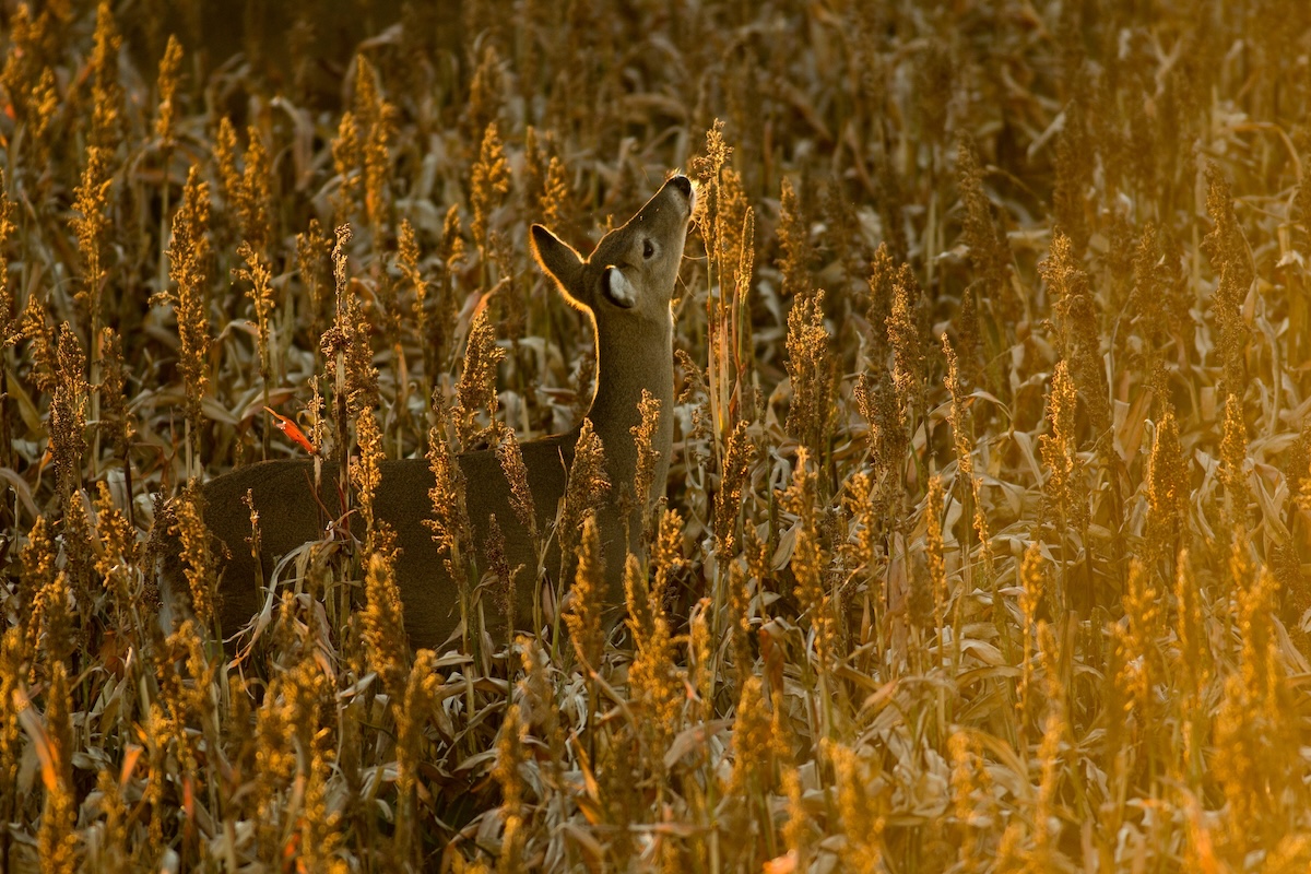
Certain app elements, such as "Crop History" and "Whitetail Habitat Map" help find great food sources.
10. Pinpointing possible food sources.
Deer have been known to eat upward of 700 different plant species. While it isn’t possible to know exactly what food-based plants or trees are in an area, certain app tools can indicate where possible food sources are located. For example, certain plants and trees prefer to grow on certain slopes (i.e.: north- or south-facing). Also, HuntStand layers can help showcase varying levels of habitat succession, such as early, middle, or late succession. While browse is more common in early successional habitat, mast crops are more common within late habitat succession.
Edge Habitat for Deer (And How HuntStand Helps Find It)
11. Locating potential viable waterways.
Water is crucial. Deer need it to survive. Certain app layers are ideal for locating water sources. Some of these include “Natural Atlas,” “Outdoor,” “Quad Topo,” “Terrain,” and more. Use these and other app layers to locate potential water sources, which can make great stand locations, trail camera spots, etc.
12. Foreshadowing possible travel routes.
Deer are very much A to B to C travelers. They travel along lines of movement between bedding areas, food sources, and water sources. That said, it’s possible to study maps, locate bedding areas, find food sources, pinpoint water sources, and then gauge where possible travel routes are located. Generally, deer take the paths of least resistance.
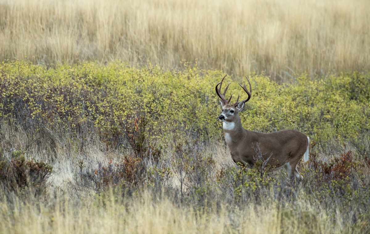
Big deer oftentimes hold up in staging areas. HuntStand can help find these places.
13. Locating good transition and staging areas.
Transition zones and staging areas are good spots to intercept deer movement. While these look different from one to the next, these areas usually offer small food or water sources between bedding cover and destination food sources. Deer tend to stage up in these locations while in route to or departing from major food sources. Such locations make excellent stand locations.
14. Charting the local deer trail network.
During the off-season, scouting efforts involve many things. One of those should be walking and charting the local deer trail network. This can reveal key travel routes, trail intersections, and the most-used parts of a property. The best way to chart these trails? The “Trace Path” feature via HuntStand.
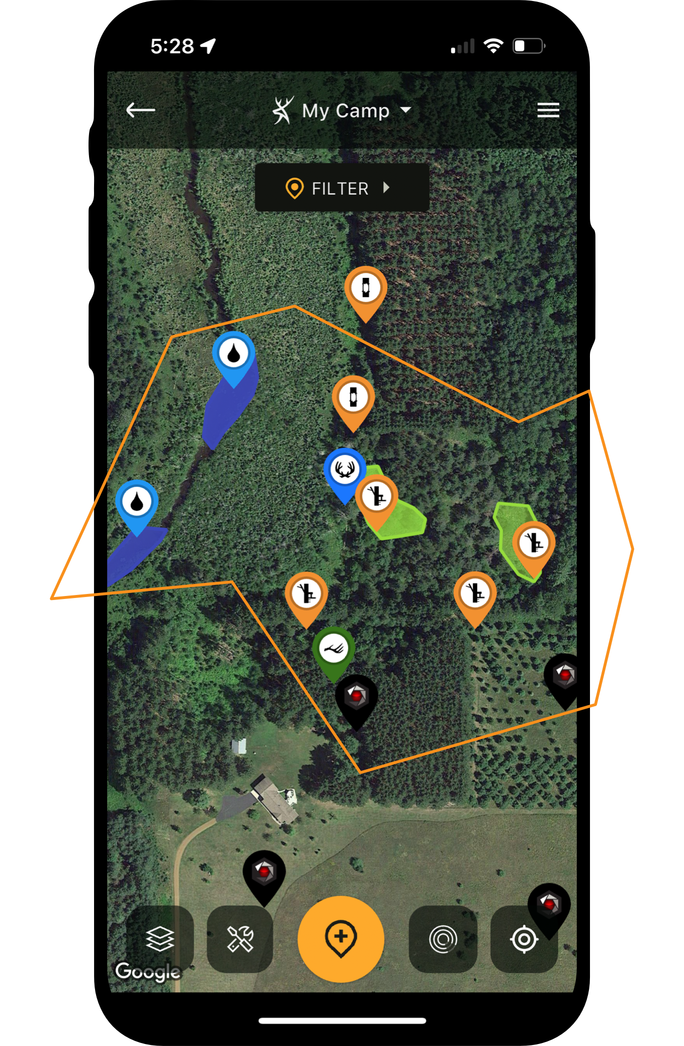
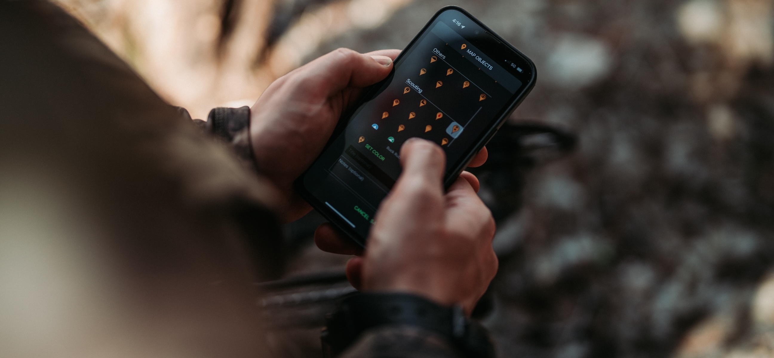
15. Placing scouting pins for scouting discoveries, such as beds, rubs, scrapes, tracks, trails, and more.
HuntStand offers dozens of relevant scouting pins. This ensures the ability to place markers for important scouting discoveries, including beds, rubs, scrapes, tracks, trails, and numerous others. These can aid in property tasks, management goals, hunt planning, and more.
HuntStand's "Area Measurement" tool can aid in food plot planting efforts.
16. Using the area measurement tool to estimate food plot sizes.
Food plotters need to know the area measurements of food plots. Having accurate acreage data ensures purchasing and using the right amount of fertilizer, lime, seed, and other food plot products. This prevents over-seeding, under-seeding, wasting money, and more. Of course, this tool is also good for measuring other areas, such as property acreage, sanctuary sizes, etc.
17. Using the distance measuring tool to gauge important distances.
In numerous instances, the distance measuring tool can be handy for deer hunters. Measuring food plot lengths. Determining approximate distances to targets. Measuring a property boundary. Studying an access route length. These and many more are prime examples where hunters need to measure distance.
18. Studying the “Monthly Satellite” imagery layer for near-real-time updates.
The “Monthly Satellite” layer is a great tool for seeing near-real-time updates in the field. This can help showcase controlled burns, crop status, flooding, habitat changes, timber harvests, and much more. Each of these things impact deer and deer hunters.
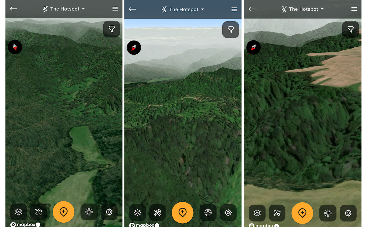
The 3D Map tool is excellent for visualizing a property's features.
19. Using the “3D Map” feature to see the lay of the land.
The “3D Map” is a tool that helps visualize habitat and topography simultaneously. It offers a realistic view of the landscape, and shows what it virtually looks like in person. Ultimately, it’s two-dimensional aerial and topo layers blended and delivered in a three-dimensional package.
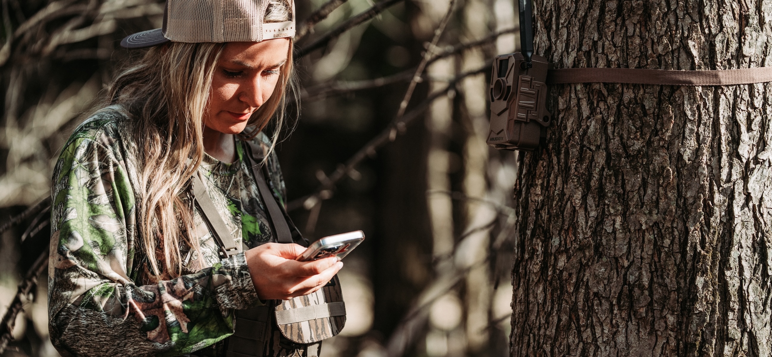
20. Keeping track of trail cameras, and interpreting trail camera data.
The “Trail Cam” tab is an excellent tool for HuntStand app users. It can help in deciding where to deploy trail cameras. Marking trail camera locations ensures you don’t lose these. Now, those who use the Command Pro cellular camera app (compatible with Muddy and Stealth Cam cell cams) can integrate it with the HuntStand platform. The marriage of these two apps imports trail camera photos directly into respective camera markers within the HuntStand app. It even helps produce trail camera data.
15 Ways to Get the Best Cellular Trail Camera Photos
21. Studying wind directions for access routes, stand locations, etc.
The “HuntZone” tool is designed for hunters to visualize wind directions in their hunt areas. This makes it possible to see what your scent cone might look like in the field. This incredible asset helps choose better access routes, make better stand location decisions, and more.
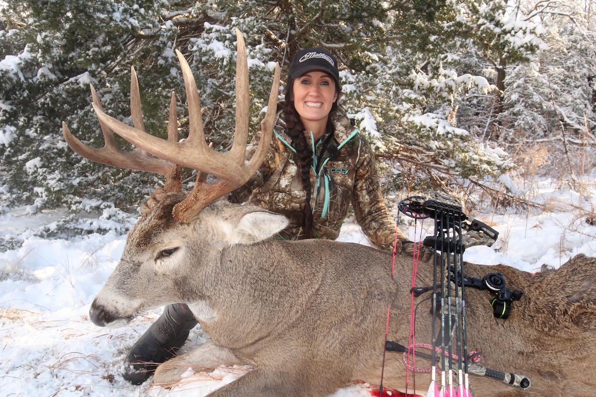
Keep track of "Sightings" and "Harvests" in the app.
22. Marking deer sightings, and marking harvests, for future hunts.
Two important tabs under the HuntStand app include “Sightings” and “Harvests.” Each of these make it possible to record important events while scouting and hunting. Create icons, type out relevant notes, and remember these for future hunts.
23. Using the “Trace Path” feature when shed hunting, recovering deer, and more.
The “Trace Path” feature was already mentioned as being ideal for charting deer trails. It’s also good for other scouting and hunting activities, including shed hunting, recovering wounded deer, and more.
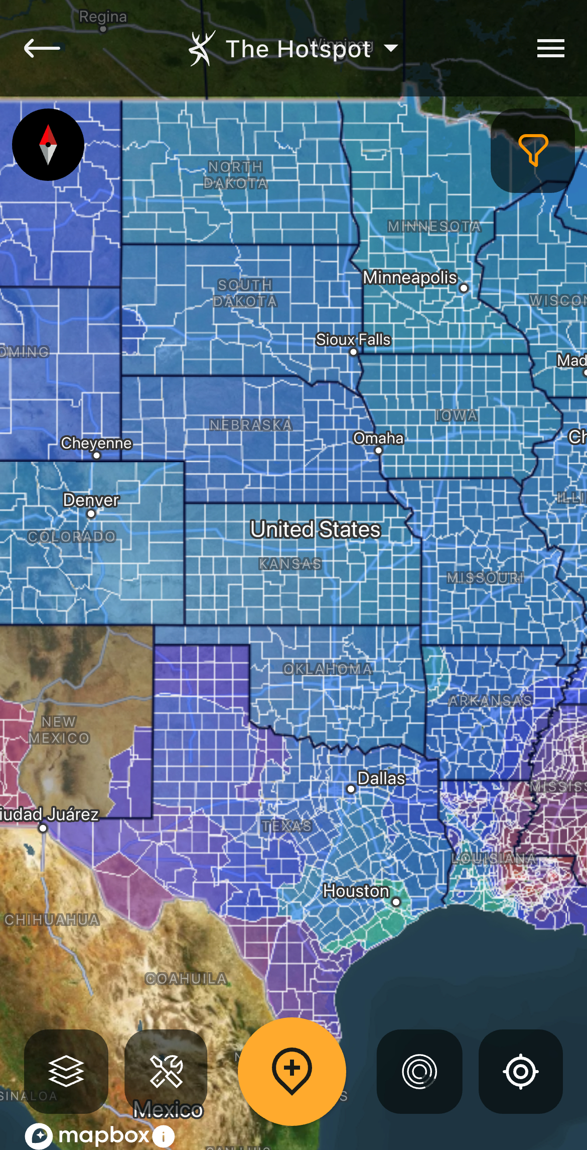
24. Studying the “Nationwide Rut Map” to plan your hunt.
The “Nationwide Rut Map” is the first of its kind. Thanks to state-wildlife-agency-provided data for over 4,240 counties, parishes, and other geographic designations, hunters have accurate information on when the rut occurs within each county. It provides key dates for pre-, peak-, and second-rut timelines.
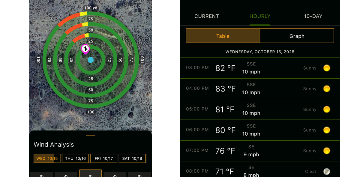
Study the weather for better and safer hunts.
25. Checking the weather for better, safer hunts.
HuntStand offers a detailed weather tool to keep track of conditions in the elements. This helps in hunt planning. After all, weather can impact wildlife movements. However, it also helps make better, safer hunt decisions.
26. Using the “Whitetail Activity Forecast” to plan hunts.
The “Whitetail Activity Forecast” is another incredibly powerful tool. Driven by a sophisticated algorithm, it provides up to 15 days of forecasting. It analyzes numerous variables to show you estimated deer activity by the hour. It even provides activity scores for each day based on the relevant variables.
27. Keeping track of tasks, reserving stand locations, and more.
Other tools within the HuntStand app are designed to keep track of “Tasks” and “Stand Reservations.” The former tool is ideal for keeping up with property management, specific projects, and more. The latter asset is perfect for reserving stand locations so hunt club members and lease partners aren’t arguing over blinds and stands.

Keep an eye on hunt club members' locations so everyone's hunts remain safe and uninterrupted.
28. Sharing marked locations — and your location — with your hunting buddies.
Sharing maps, or even map icon markers, helps keep everyone in the know. Furthermore, the “Friend Locator” tool is ideal for keeping up with others in your hunt area. That can be crucial, especially when refraining from taking an entry or exit route that could negatively impact another person’s stand location, conducting deer drives, and more.
29. Using “Offline Maps” when cell service is absent or limited.
Thanks to the “Offline Map” feature, it’s possible to use the HuntStand app even when cell service is absent or limited. Oftentimes, this is true for properties in rural areas. But saving an offline version of the hunt area can improve hunting experiences.
30. Building detailed property maps and creating hunt game plans.
The primary and most-used feature of HuntStand is building out detailed property maps of hunt areas. Seeing scouting notes, sightings, harvests, stand locations, trail camera locations, and more, all in one place, accomplishes many things. It helps visualize how deer use the property. This showcases possible stand locations. It’s the hub for all hunt game planning.
18 Secrets to Building the Best Food Plots (And How HuntStand Helps)
HuntStand Ultimate is loaded with great tools. Secure these and more for a better deer season this fall and winter.
Regardless of whether you choose a HuntStand Ultimate subscription for just a few of the above benefits, all of them, or for others not mentioned here, it’s an incredible tool for deer hunters, land managers, and others. Without question, there are many reasons HuntStand Ultimate makes you a better deer hunter.