





HuntStand offers unique assets that assist with many of deer hunting's greatest challenges.
Hunting whitetails is one of the biggest challenges of all outdoor pursuits. Filling tags on deer is hard enough, and punching them on mature bucks is an even taller order to fill. It comes with an array of problems that hunters must riddle out to be successful. Here are deer hunting problems and HuntStand solutions.
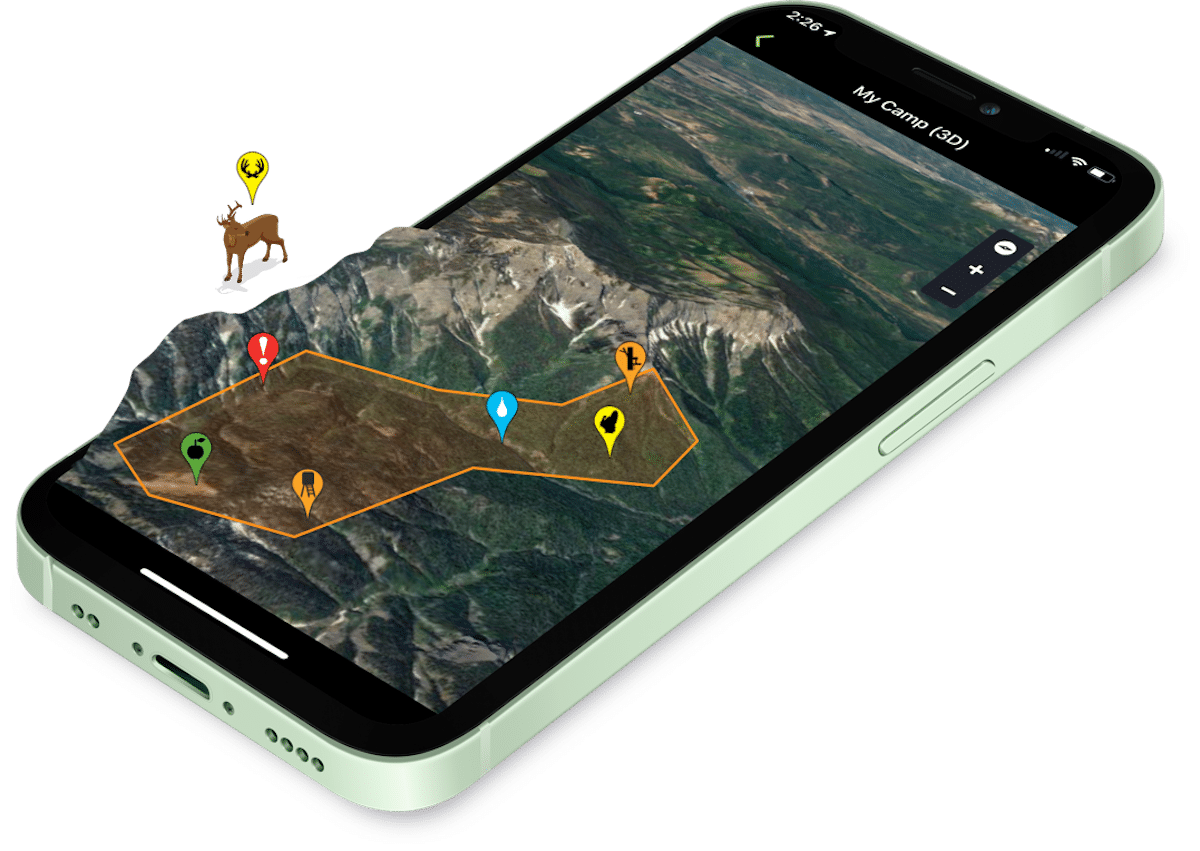
HuntStand can even help in determining what property to lease or purchase.
1. Choosing the Right Property to Buy or Lease
Finding the right piece of hunting land is important. No hunter wants to buy, lease, or even ask permission for dud deer ground. Choosing the right property can be a challenge.
HuntStand Solution: While the only guarantee can come with time on property, or knowledge of its history, HuntStand can help make a good decision. This is especially true in terms of access directions, habitat layout, topography features, overall hunt-ability, and more.
2. Selecting the Best Public Land Hunting Tracts
Some areas have an abundance of public land. In these places, choosing the right piece can be quite daunting. In a sea of thousands of acres, selecting the best spots would take so much time to complete on foot.
HuntStand Solution: Putting boots on the ground is still necessary. That said, zooming around in your preferred HuntStand layers can help cross off obvious places to avoid. Furthermore, it can help select good spots that seem to be worth a closer look. The spots that show significant barriers, such as steep terrain or waterways to deter most hunters, are especially attractive.
3. Managing a Proper Deer Density
Managing deer population densities isn’t always an easy feat. Conducting deer density surveys is a task of its own. Gathering the proper data and making the appropriate decisions, requires effort.
HuntStand Solution: Integrate the Command Pro app (Muddy and Stealth Cam cell cameras) into HuntStand. Conduct deer density surveys. Analyze the data. Then make harvest goals and decisions.
4. Pulling Deer Away from Potential EHD Hotspots
Epizootic hemorrhagic disease (EHD) is a serious killer of deer. It’s spread by the bite of a small midge (gnat) that carries the virus. Generally, these bugs proliferate around the muddy banks of creeks, ponds, and other waterways.
HuntStand Solution: Numerous HuntStand layers show water sources well. Examples include Natural Atlas, Outdoor, Satellite, and more. Find locations well-away from muddy-banked water sources and deploy watering tanks. Keep them filled and fresh in hopes of luring deer away from midge breeding grounds.
5. Checking Cams More Often Than Necessary
Some hunters struggle with checking trail cameras too often. The allure to pull SD cards and see what’s on them is too much to pass up. In doing so, they pressure deer and diminish their odds.
HuntStand Solution: Buy Muddy or Stealth Cam cell cameras. Download the Command Pro app. Integrate it with HuntStand. Then, view your trail camera photos in HuntStand right where that cam is located. You get the virtual feel of pulling each card, and you don’t even have to pressure deer in doing so.
6. Keeping Track of Deployed Stands, Blinds, Cams, and Other Gear
Deploy treestands, hunting blinds, trail cameras, and other gear for long enough and you’ll forget where one or more are located. Before technology came along to save us, quite a few cams and stands were lost to the wilderness.
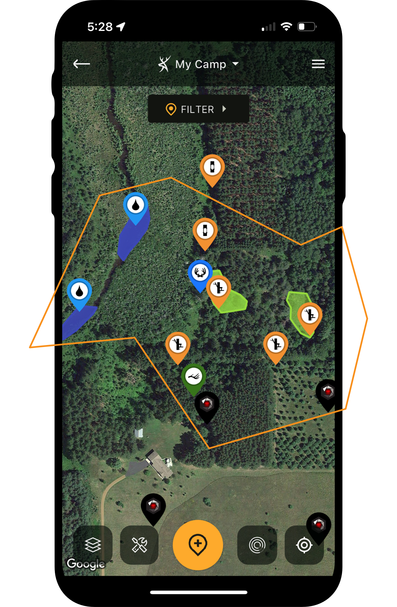
HuntStand Solution: Using HuntStand’s designated specialty markers, drop pins for each treestand, hunting blind, trail camera, deer feeder, and other gear you’ve posted in the field.
Edge Habitat for Deer (and How HuntStand Helps Find It)
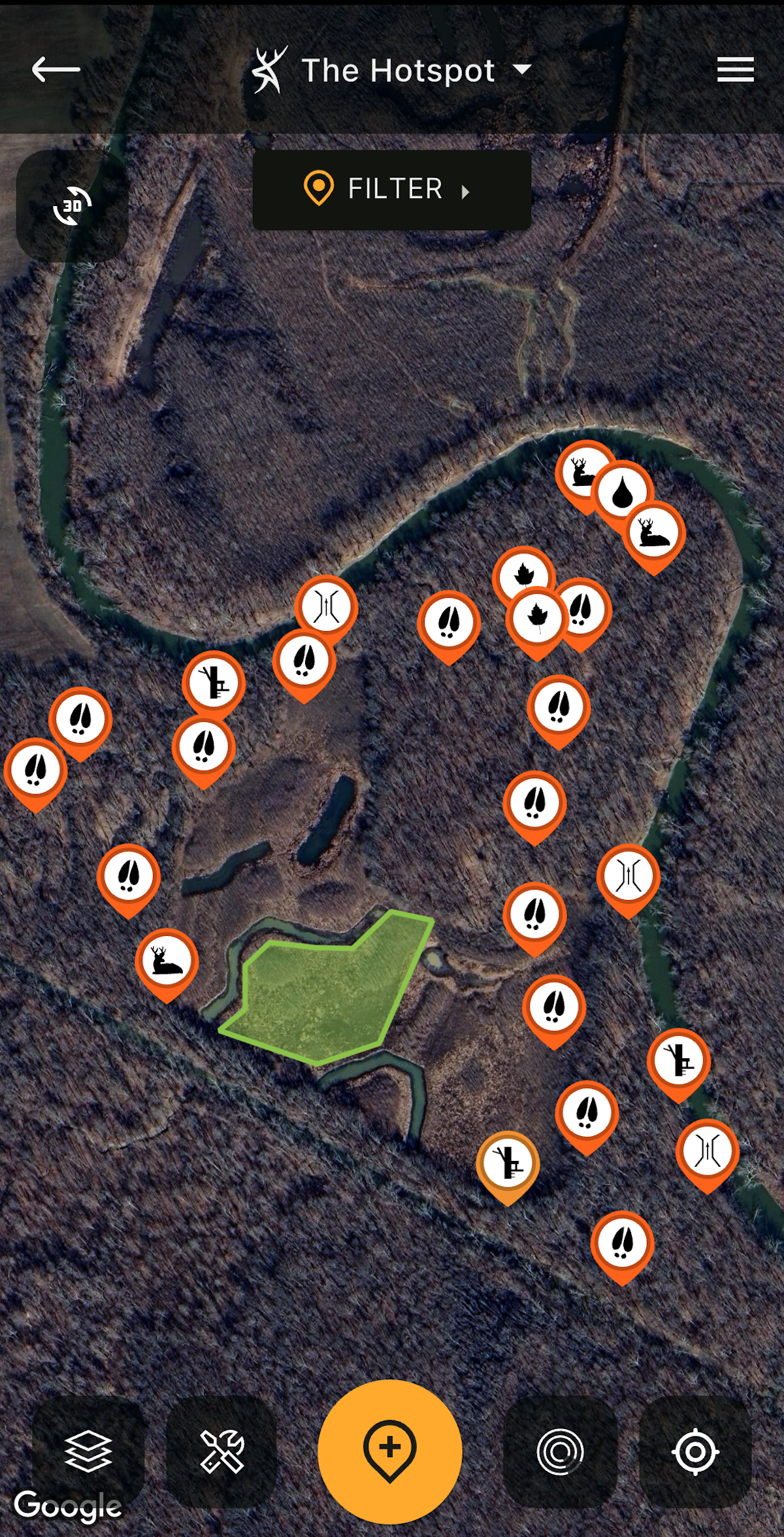
Use HuntStand to measure out your food plot acreages.
7. Determining Accurate Acreage Estimates for Food Plot Seed, Fertilizer, Etc.
Food plot seed, lime, fertilizer, and other related purchases aren’t cheap. It’s important to purchase just the right amount. Buying too little seed doesn’t cover the plot. Buying too much wastes money.
HuntStand Solution: Use HuntStand’s Area Measurement tool to determine an accurate acreage for your outlined food plots. Then, buy just the right amount of seed, fertilizer, etc.
8. Marking Discovered Deer Sign and Other Scouting Notes
Physical maps are not the places to record important scouting finds. Sharpies and paper have no place in the deer woods.
HuntStand Solution: Drop associated HuntStand markers for each piece of sign you find. Bedding Area, Droppings, Heavily Used Food, Heavily Used Water, Rub, Scrape, Tracks, Trail, Trail Crossing, and more, are just a few of many examples available in the scouting portion of the app.
9. Forgetting Valuable Historical Intel
It’s easy to forget where this scrape or that rub line is located. Historical sign is often purged from memory after a season or two. It’s a tall task to remember every important scouting discovery.
HuntStand Solution: Use the aforementioned scouting pins to remember important finds. Likewise, as noted, retain all of your trail camera photos in the Command Pro and HuntStand apps. These will remain there in an organized and palatable manner.
10. Recording Important Deer Sightings and Harvests
General deer sightings help understand how whitetails use the property at scale. An in-person encounter with a target buck is of great value. Sightings of non-target bucks should be remembered for the future when they become targets. Remembering every sighting isn’t always simple, though.
HuntStand Solution: Use the HuntStand Sightings feature to record every important sighting. Type out important notes, too. Revisit these in the future as needed.
11. Locating Current Food Sources
Locating the most recent food sources can be a challenge. Deer eat hundreds of plant species. Finding these takes time and effort.
HuntStand Solution: Use habitat centric layers that show the terrain to pinpoint possible whitetail food sources. When you find these, and ground check them in the field, drop dedicated pins for these food sources. Leave important notes within each pin.
12. Finding Isolated Water Sources
Deer need water. When water is abundant, the tactic is not as potent. When it’s isolated, this can be a killer move. Finding these overlooked and secluded water sources isn’t easy though.
HuntStand Solution: Use HuntStand layers to find important water sources. Focus on aforementioned app layers that are ideal for locating water.
13. Pinpointing Great Funnels and Pinch-Points
Part of deer hunting is pinpointing good stand locations. Two examples of these include funnels and pinch points. Aimlessly walking around the property isn’t a great way to find these.
HuntStand Solution: Save time and energy by using HuntStand satellite layers to find these all-important terrain features. The Satellite, National Aerial Imagery, and 3D Map options are exceptional for this.
A Detailed Guide to HuntStand App Tools for Deer Hunters
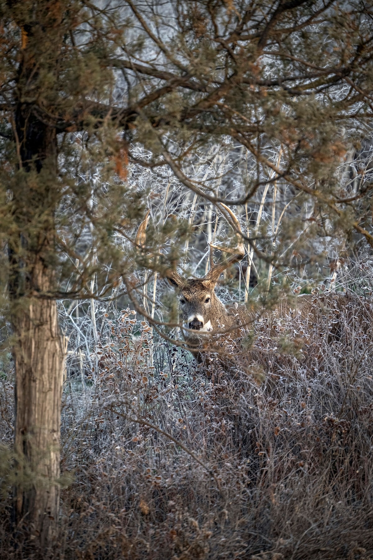
Find overlooked big buck hotspots with HuntStand.
14. Missing Overlooked Whitetail Hotspots
Overlooked spots become so because hunters fail to find them. Oftentimes, these areas don’t look good in person or on a map. It might even be a large patch of homogenous habitat that’s too vast to be attractive to hunters, for example.
HuntStand Solution: Study potential hunting areas and look for spots that don’t look good. Maybe these are out-of-the-way. Perhaps they are well off the beaten path. Whatever the reason, some areas receive less hunting pressure. Others just don’t look good to hunters, for one reason or another. But that’s why deer live there. Use HuntStand to find spots that don’t receive as much attention.
15. Finding Hard-to-Reach Buck Bedding Areas
Old deer reach older age classes by finding places that are difficult for hunters to breach. These areas are fortresses, often surrounded by challenging terrain or waterways.
HuntStand Solution: Use your favorite HuntStand aerial base layers to discover pockets of cover that pose great challenges to overcome. Long hikes, steep topography, bodies of water, and other challenging terrain features stop some hunters in their tracks. A block of timber with water on three sides and a long walk on the other might not see a hunter all season. Find these places with HuntStand, and then go scout them on foot.
16. Choosing Just the Right Stand Locations
Another big challenge in deer hunting is picking the right stand location to intercept a target buck. Walking around on your hunting land leaves a lot of pressure upon the deer herd. Printed maps just don’t give you the resolution needed to zoom in and out, and choose just the right spots.
HuntStand Solution: Deploy HuntStand to whittle down potential areas of interest. Drop temporary pins for these locations. Once in the field, scout these quickly and fine-tune your stand location. Zoom way in and drop pins on the exact trees you plan to hang stands or position blinds nearby.
17. Losing Hunting Land
Losing a hunting property is a big challenge to overcome. No one wants to lose their spot, especially properties that produce great results or that have sentimental value. It can prove a tall task to find new hunting land.
HuntStand Solution: Fly around in HuntStand and identify potential private properties to knock on doors for permission or leasing. If studying available listings on leasing agency websites, use HuntStand in conjunction with the listings description and available photos to better assess the hunting quality and value. Scout public lands that look good and go check them out in person.
18. Knowing Your Exact Position on the Landscape
Most people are not great with navigation. Even with a paved road, they get lost. Put them in the woods and things get very dicey. Fortunately, most deer hunters are great with adequately traversing the landscape. Even so, sometimes we need help knowing our exact location.
HuntStand Solution: HuntStand’s blue icon showcases your position in relation to the land. This identifies your specific position which helps when navigating to stand locations, staying on predetermined access routes, and more.
19. Maintaining Hunting App Access Without Cell Service
In the past, hunters were out of luck when cell service dropped out. Calls weren’t an option. App availability became obsolete. When that happened, it wasn’t far off from the feeling of being embarrassingly naked.
HuntStand Solution: Saving off-line map versions of your hunt areas allows you to continue using HuntStand even when service fades. Continue to use the app as normal even when full bars turn to SOS.
20. Accidentally Crossing Property Lines
Trespassing is a serious issue. Even an accidental passage across the line can lead to trouble. Many arguments and long-term feuds have resulted from accidental property line breaches.
HuntStand Solution: With HuntStand, Hunters can use the property info tab to highlight property boundaries. This feature, paired with the blue location icon, provides assistance with staying on your side of the line.
Next-Level HuntStand Tips for Advanced Deer Hunters
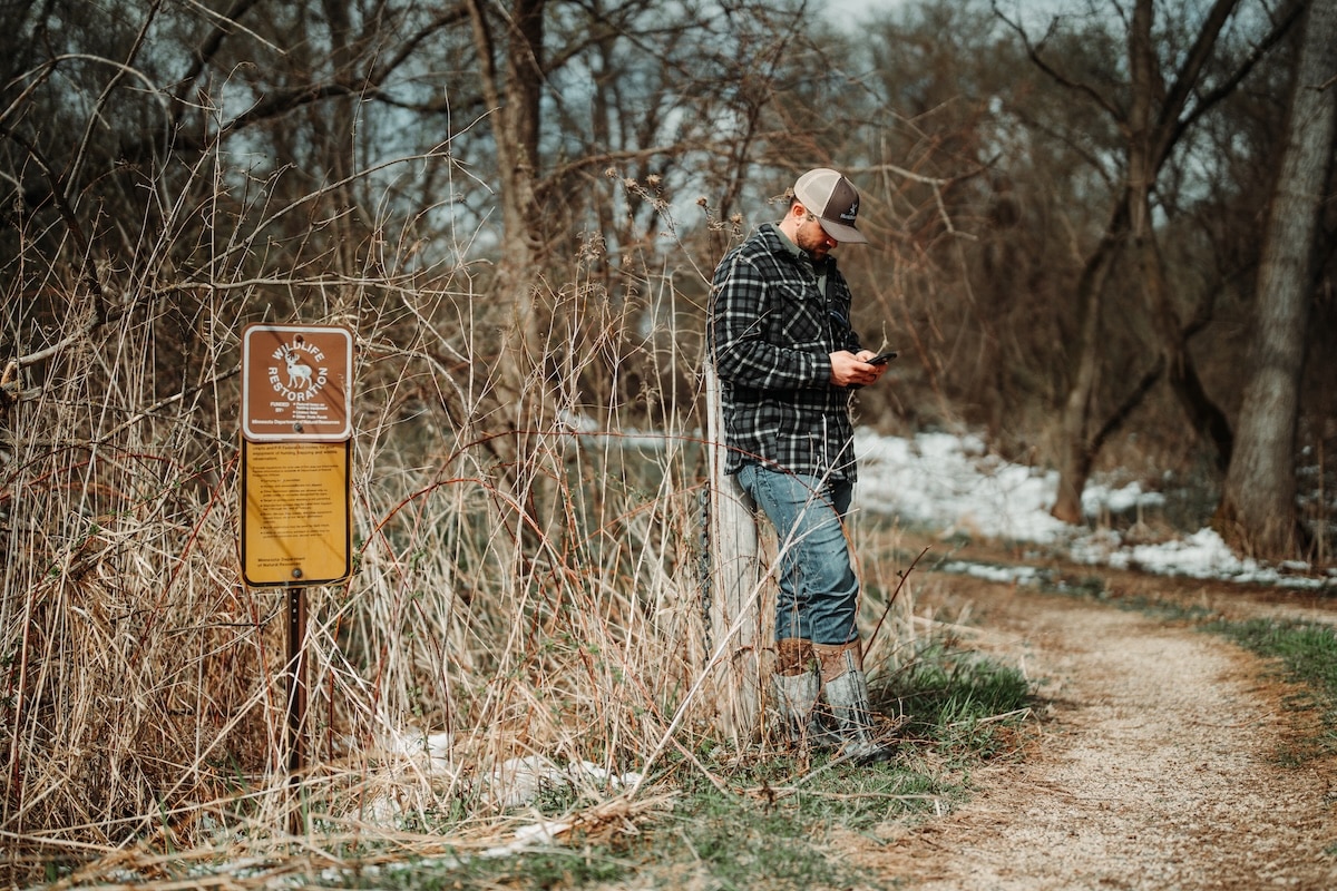
HuntStand can help ensure you stay on the right piece of land.
21. Unintentionally Accessing the Wrong Property
Have you ever been given permission to hunt a property you weren’t familiar with? Ever lease a property that didn’t have obvious boundary markers? Maybe that piece of public isn’t properly identified, either. Maybe the person giving permission wasn’t exactly sure of the boundaries, or even the complete location of the property? Unintentionally accessing the wrong property is a recipe for disaster. So is crossing over an unobvious boundary.
HuntStand Solution: Use the property info toggle to clearly see Landowner name, property, lines, access points, and whether or not it’s the piece of land you’re supposed to hunt or not.
22. Knowing Accurate Distances on Hunting Lands
Setting up a treestand within range of a food plot. Positioning a blind in range of a feeder. Making sure the far end of an ag field or plot isn’t out of range. The length of an entry route. Estimating distances to nearby houses and structures to ensure you’re not too close to discharge a firearm. These and more are examples of the importance of knowing accurate distances on hunting lands.
HuntStand Solution: HuntStand‘s Distance Measurement tool is excellent for gauging accurate lengths from point A to B to C and more.
23. Inadequately Assessing Safe Directions to Shoot In
You can’t always know what’s beyond that tree line or hilltop. That’s especially true for new hunting properties and areas you’re not familiar with. Even for the lands you know, someone might build a new house or structure. That’s a problem when it comes to shooting in safe directions.
HuntStand Solution: Use HuntStand’s higher resolution base layers to see where permanent structures have been for a while. Then, use the monthly satellite layer to see if any new construction has taken place. Decide which directions are safe to shoot in or not.
24. Improperly Gauging Future Weather Patterns
Weather is a major factor in whitetail movement. Unless you’re Jim Cantore, Rain Man, or one of these new influencer meteorologists, you likely can’t look at the sky and know what’s gonna happen. It’s easy to improperly gauge future weather patterns, even if you are an expert.
HuntStand Solution: HuntStand provides a detailed look at upcoming weather. Consult the current, hourly, and 10-day forecast. Furthermore, in the maps section, use one of numerous weather-related toggles to see overlays for your hunting area, including radar.
25. Selecting the Wrong Times to Hunt
The best deer hunters understand the essence of timing. Choosing exactly the right time to make a move is a part of consistently harvesting mature whitetails. Without extensive experience, recognizing these times can be challenging.
HuntStand Solution: HuntStand‘s Whitetail Activity Forecast is an industry-leading deer movement predictor. With a proprietary algorithm, it anticipates the best days to hunt. Consult this resource, keep an eye on relevant conditions (yourself), and make the best decisions for your hunts.
26. Timing the Rut
The whitetail rut is a weird beast. In the North, it’s a relatively confined to a set range of dates. In the South, depending on location, it can range from July to February. Even in the North, there is enough variation to miss the boat. Timing the rut can prove challenging, especially if you aren’t familiar with your hunting area.
HuntStand Solution: toggle the Nationwide Rut Map overlay to see defined windows for your county. It provides peak windows for five different phases of the rut.
27. Charting a Big Buck’s Core Area and Home Range
Learning a buck’s core area is a significant undertaking. Charting that area isn’t easy, either. Markers and physical maps are bulky and inconvenient (for field use).
HuntStand Solution: Use HuntStand markers to showcase a buck’s bedding areas, preferred food sources, water sources, travel routes, and more. Deploy all the markers needed to map out that buck’s crib.
How to Chart a Buck’s Home Range and Core Area with HuntStand Markers
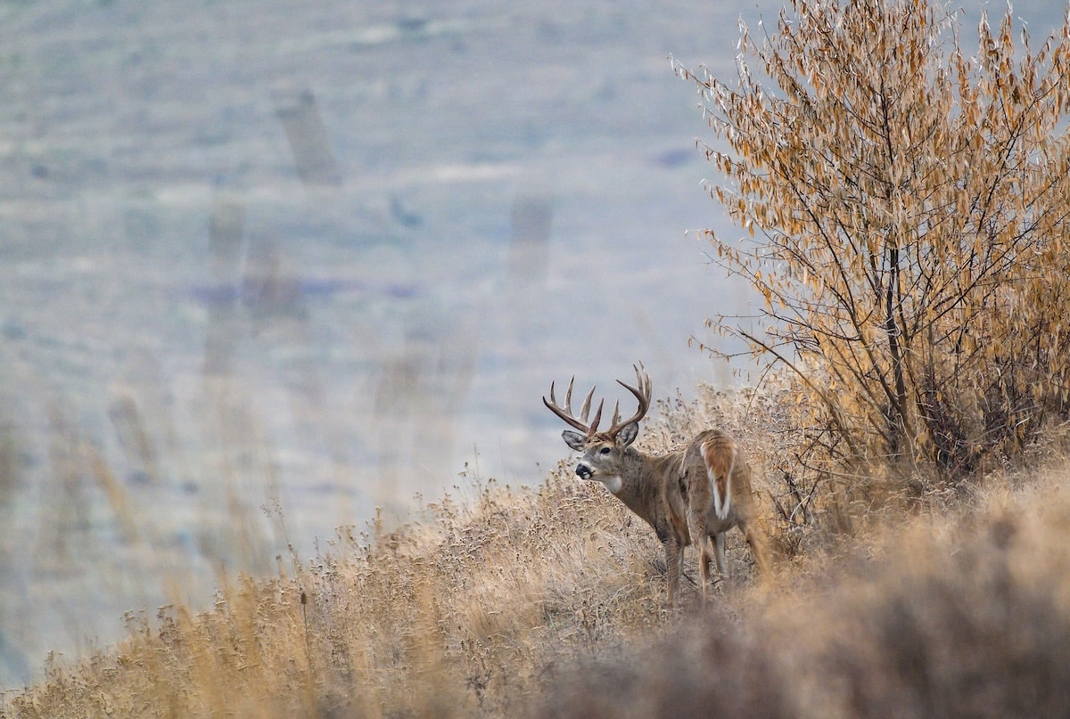
Deploy key layers and overlays to study habitat, topography, and other whitetail-influencing land features.
28. Determining Important Whitetail Travel Patterns
Visualizing a buck’s lines of movement is a part of identifying and selecting important stand locations. Without the right tools, seeing it is more challenging.
HuntStand Solution: Draw lines connecting bedding areas, food sources, water sources, etc. The trails they use might not be exact along these paths, but they’ll be nearby and usually moving in the same general directions.
29. Deciphering a Specific Target Buck’s Vulnerabilities
Mature bucks know their home turf. They understand how to capitalize on safety features. For bowhunters, they’re rarely vulnerable.
HuntStand Solution: Analyze all of the markers and scouting notes as mentioned above. Then, study what locations can be potential ambush points and what wind directions work well.
30. Planning Well-Laid Spot-and-Stalk Efforts
Spot-and-stalking requires a lot of skill. Sneaking up on a deer is one of life’s greatest challenges. More times than not, success rates rival bad baseball batting averages.
HuntStand Solution: You spotted a deer. Mark its location with a dropped pin. This helps keep track of its last known location even if you have to circle around to get the wind.
31. Guesstimating Whitetail Disappearances and Relocations
Deer come and go. They utilize different portions of their home ranges. Sometimes, they disappear from trail cameras. Sightings might altogether dry up. Relocating these deer tends to prove challenging.
HuntStand Solution: Everything a deer does is for a reason. Changing bedding area needs, shifting food sources, increasing hunting pressure, and more, impact deer behaviors. Think about what the relevant factor(s) might be for the situation in question. Study your HuntStand map to assess where deer might’ve moved to.
32. Deciding Who Hunts What Stand Locations
Choosing stand locations isn’t always easy. Choosing when several other hunters are also in the process of doing so can be even more challenging. It can quickly devolve into a negative situation.
HuntStand Solution: Use the Stand Reservation feature to select stands. Run your lease or hunt club on a first-come-first-serve basis or draw numbers to determine stand selection order.
33. Keeping the Group Hunting Discussions in One Place
Communication is important, and good communication is needed to maintain organization. For hunt clubs and leases, this is even truer. Everyone needs to operate cohesively.
HuntStand Solution: Use HuntStand’s Group Board to keep all hunting-related communications in one place. This ensures everyone has access and can go back and look at things as needed.
34. Staying Organized with Hunting-Related Tasks
As noted, staying organized can prove challenging. Keeping track of hunting-related tasks is also important, especially in terms of getting things done.
HuntStand Solution: As with general discussions, use the HuntStand Group Board to maintain hunting-related tasks. Monitor progress with chores and other jobs on your hunting lands.
Overlooked and Unappreciated Traits of the Best Deer Hunters
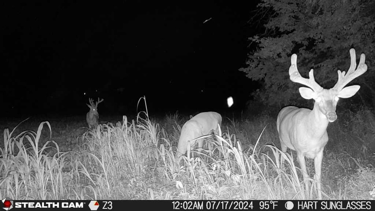
Keep track of deer movement patterns by integrating the Command Pro app with HuntStand.
35. Failing to Adequately Study Habitat and Terrain
A major part of deer hunting is knowing the land. Hunters must learn the intricacies of habitat and terrain in the areas they pursue whitetails. Unfortunately, that’s not simple to do, especially if not implementing all of the available tools.
HuntStand Solution: Study the variety of habitat-centric layers to learn hunting lands. The Hybrid, National Aerial Imagery, Satellite, Mapbox Satellite, and more, serve in this capacity. Use the Monthly Satellite to see how the landscape changes over time, and to see past months and years. Study the 3D Map to see the habitat and topography simultaneously.
36. Failing to Properly Assess Topography
Topography is a major influencer in how deer use and maneuver the landscape. It impacts important factors including bedding, thermals, food sources, water sources, etc. Essentially, it plays a role in everything deer do. Unfortunately, some hunters don’t devote the time, or have the resources, needed to do this affectively.
HuntStand Solution: Observe topography-focused layers and overlays in HuntStand. Study the Natural Atlas, Quad Topo, Terrain, and 3D base layers. Toggle the Contour overlay. Use these to study the lay of the land.
37. Executing a Just-Off-Wind Hunt Correctly
Mature whitetails use the wind to their advantage. Thus, it’s sometimes beneficial to properly execute a hunt with a just-off wind direction. Without proper tools, that’s not always simple to plan, though, especially before arriving at the property.
HuntStand Solution: Study your hunt area and use the HuntZone wind indicator to plan a just-off wind hunt. Generally, this is a crosswind situation, and there’s slight separation between the edge of the scent cone and whitetail lines of travel.
38. Anticipating Unexpected Wind Direction Shifts
Wind directions don’t always stay the same. When they shift, it can turn a good stand location into a bad one. It can change a just-off wind direction into one that won’t work. Oftentimes, starting out with a wind direction won’t guarantee it stays that way. It can shift throughout the hunt.
HuntStand Solution: Use HuntZone to see how wind directions will shift throughout the hunt (up to days into the future). This can help plan and shift stand locations as needed.
39. Learning Every Intricacy of Hunting Lands
Deer hunting is a multi-faceted endeavor. Learning these intricacies is a necessary step in boosting whitetail hunting success.
HuntStand Solution: The many features of HuntStand are all designed to learn and manage hunting land with the utmost effectiveness and efficiency. Benefit from the many base layers, overlays, tools, and more.
40. Centralizing All Scouting Notes
You spend time scouting hunting lands, private and public alike. Sightings, tracks, trails, droppings, scrapes, rubs, and much more — these are important discoveries. Without organization, these and more can be quickly forgotten.
HuntStand Solution: Using HuntStand, hunters can keep track of all scouting notes. This remembers all of your dropped pins and affiliated typed notes from current and past years. It allows you to visualize these over your hunt areas.
Pre-Season Deer Hunting Tasks for Summer
Take your deer hunting to the next level with HuntStand Pro Whitetail.
Level Up with HuntStand Pro Whitetail
While the above is not an exhaustive list, it’s just a few of many solutions that HuntStand offers to common hunting problems. To capitalize on these all-important benefits, level up with HuntStand Pro Whitetail.
UPGRADE TO HUNTSTAND PRO WHITETAIL